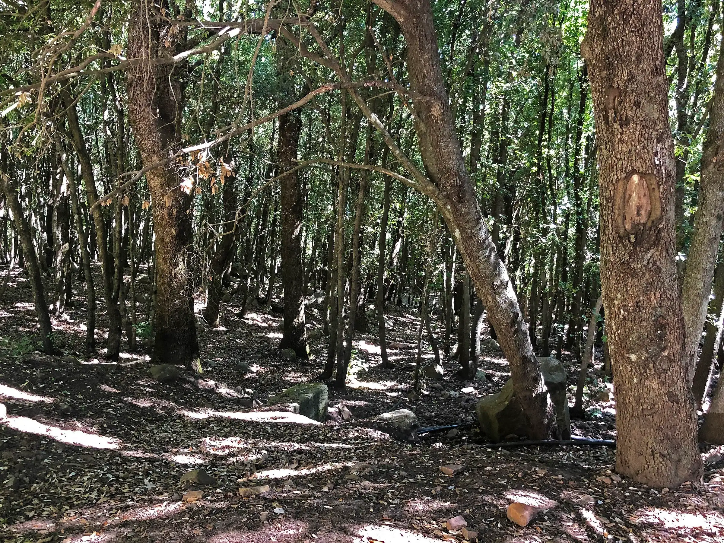
 Hiking trail
Piano Sempria · Out and back
In the Madonie you can walk from the Rocca di Cefalù, high above the sea, up to the 1,979 metres of Pizzo Carbonara, the second highest peak in Sicily after Etna. Each trail page gives you the CAI grade, approximate distance and time, where to start, which season to go and the weather at the trailhead.
The topographic map loads on the live site. Here you only see the route.
Hiking trail Piano Sempria · Out and back
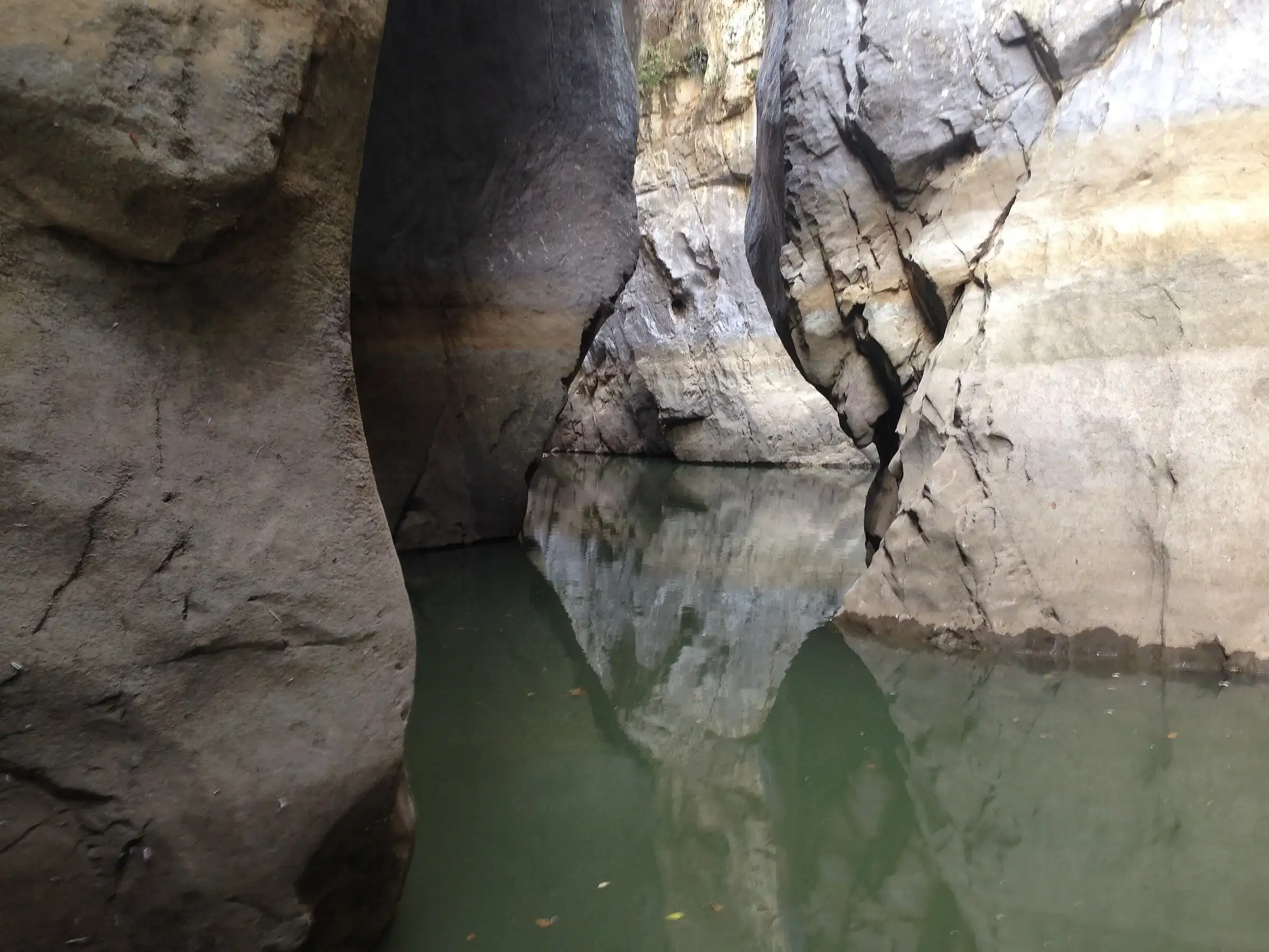 Hiking trail
Case Marcatagliastro · Out and back
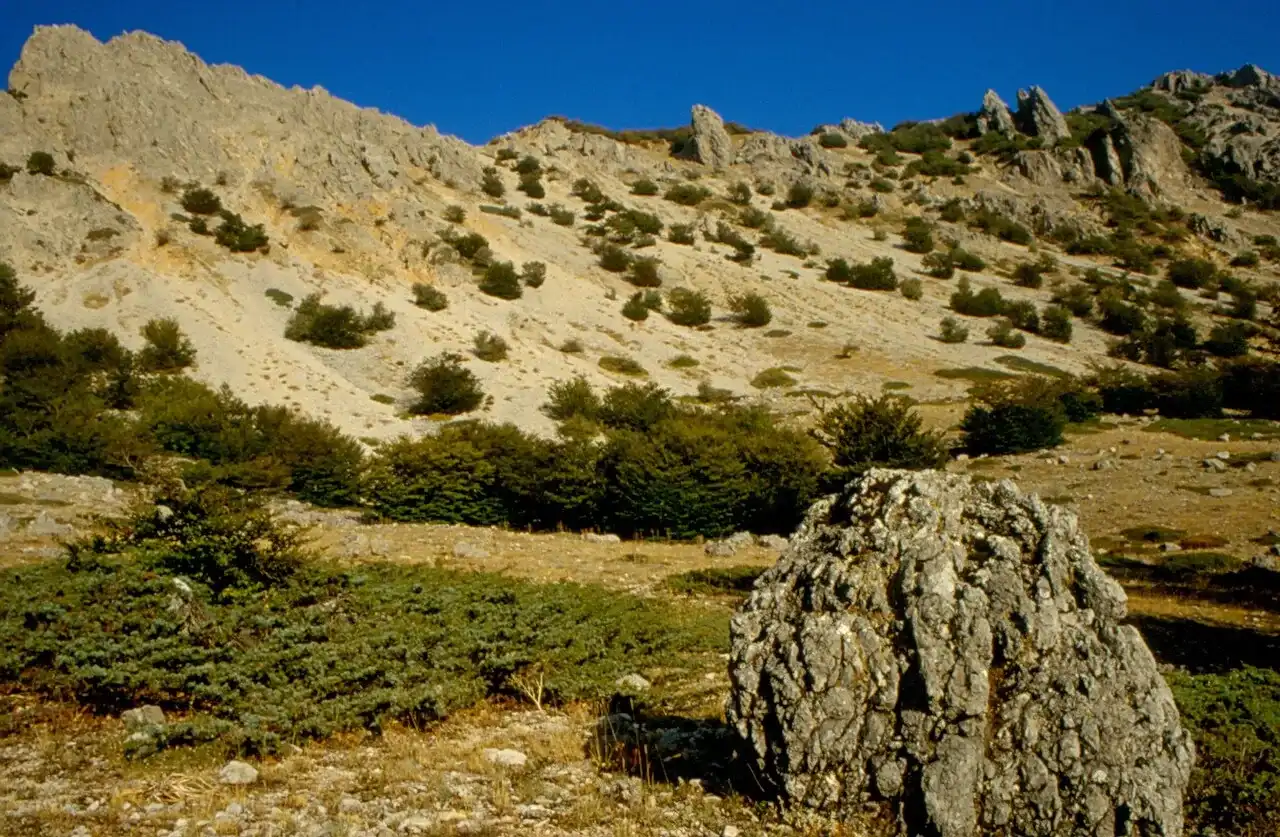 For experienced hikers
Polizzi Generosa · Out and back
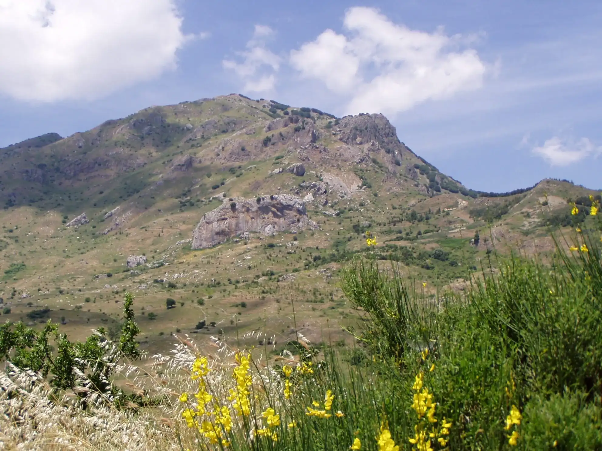 Hiking trail
Piano Noce, SP119 · Out and back
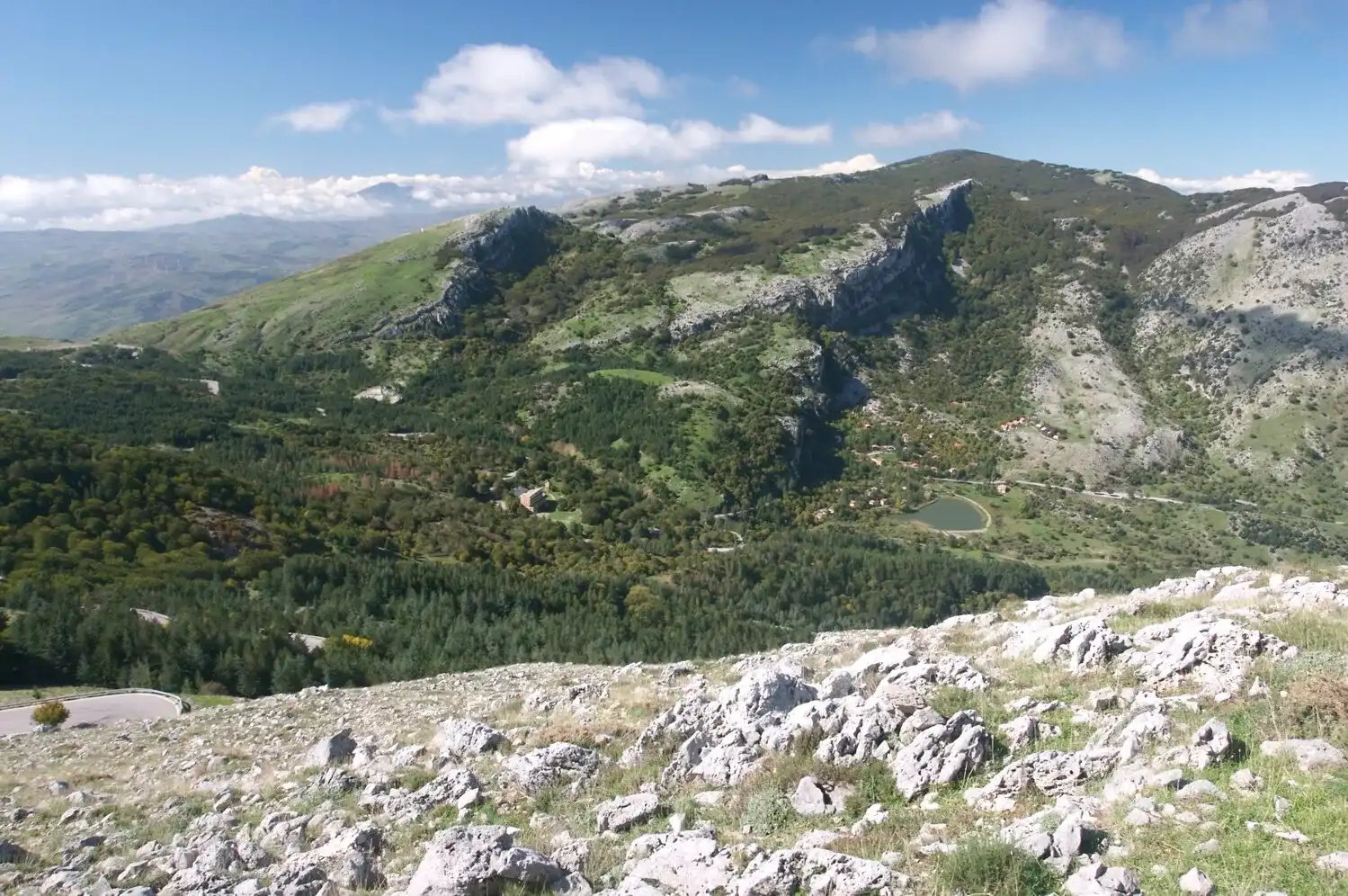 Hiking trail
Piano Battaglia · Loop
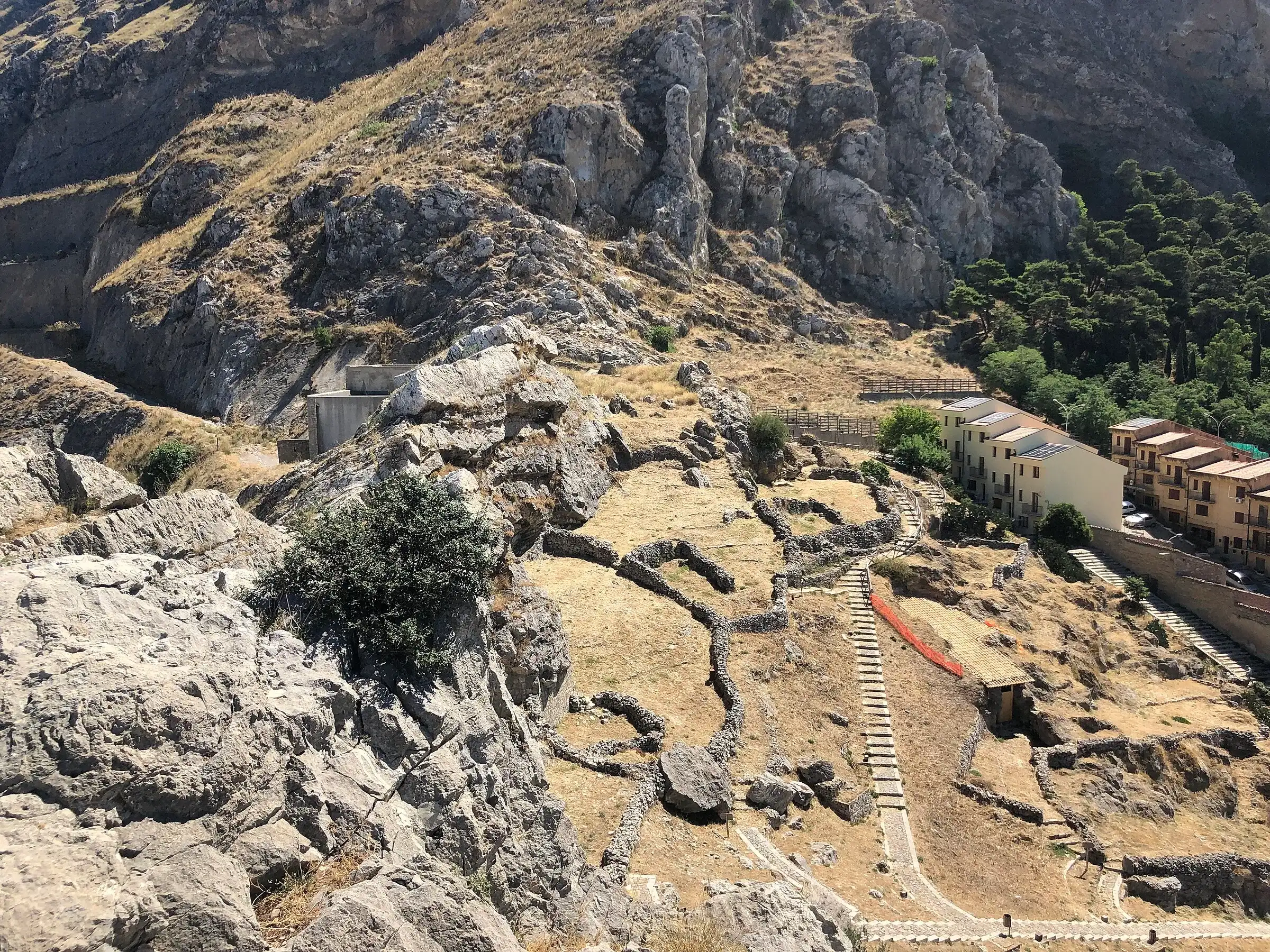 Hiking trail
Caltavuturo · Out and back
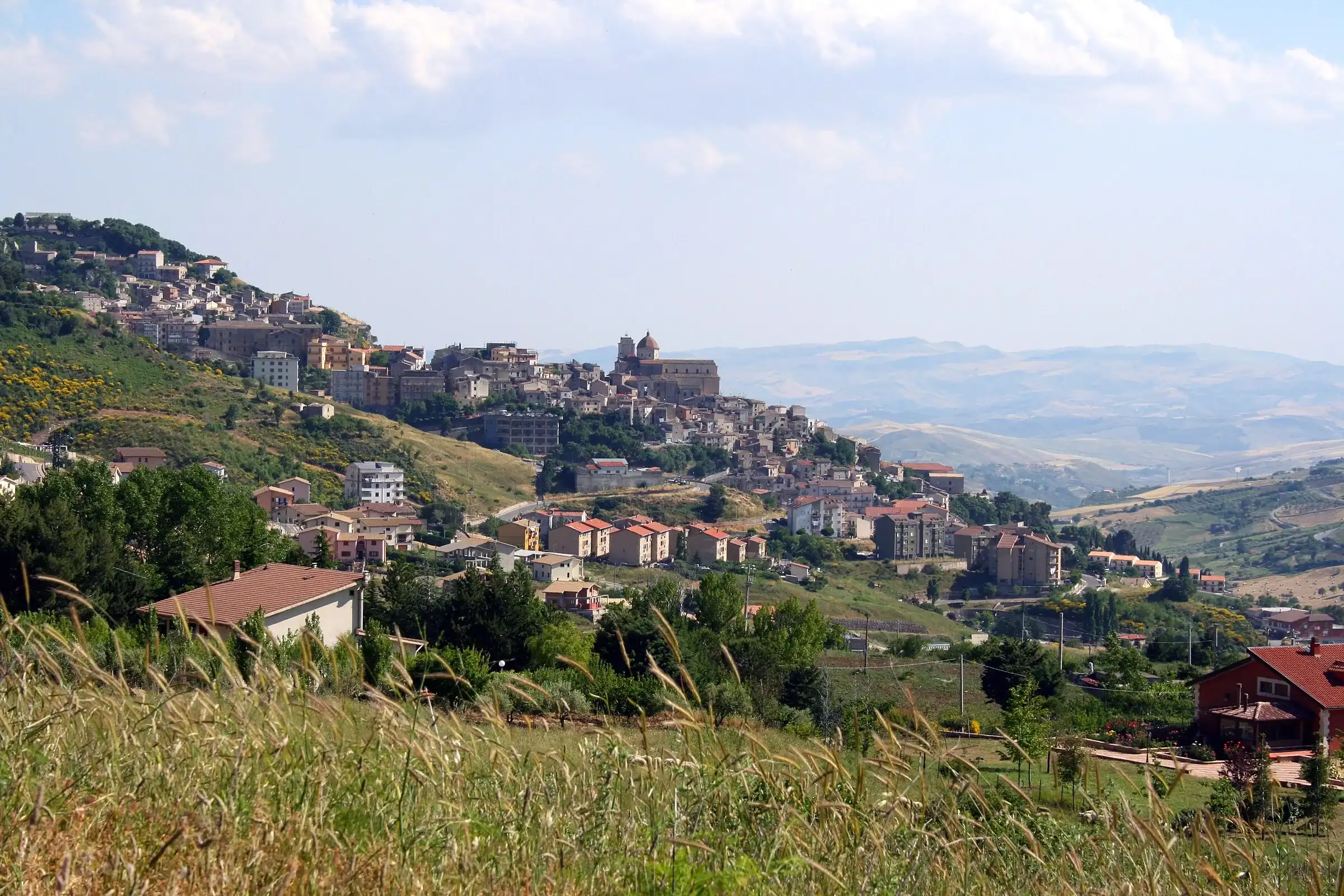 For experienced hikers
Contrada Gisa · Point to point
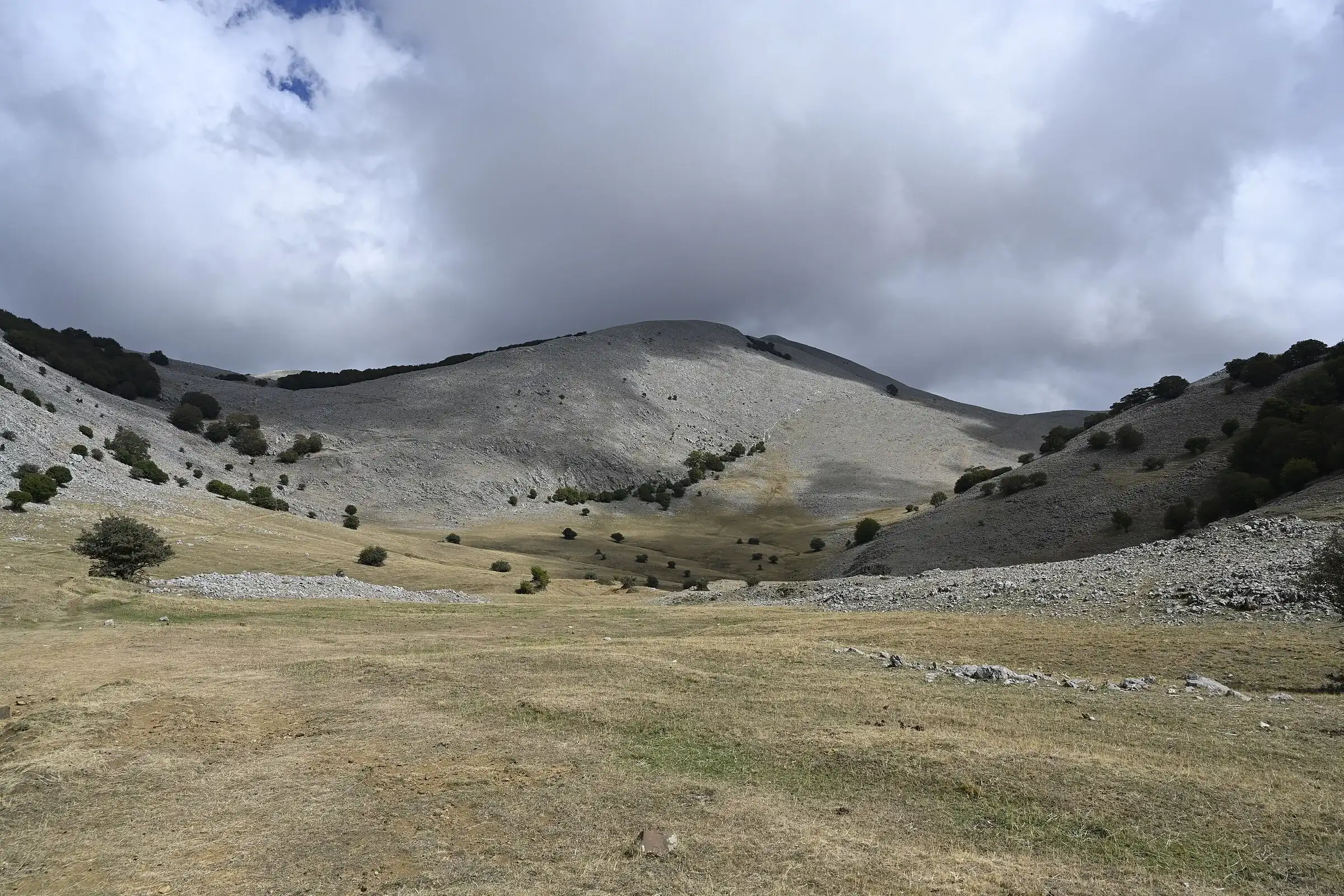 Hiking trail
Piano Battaglia · Point to point
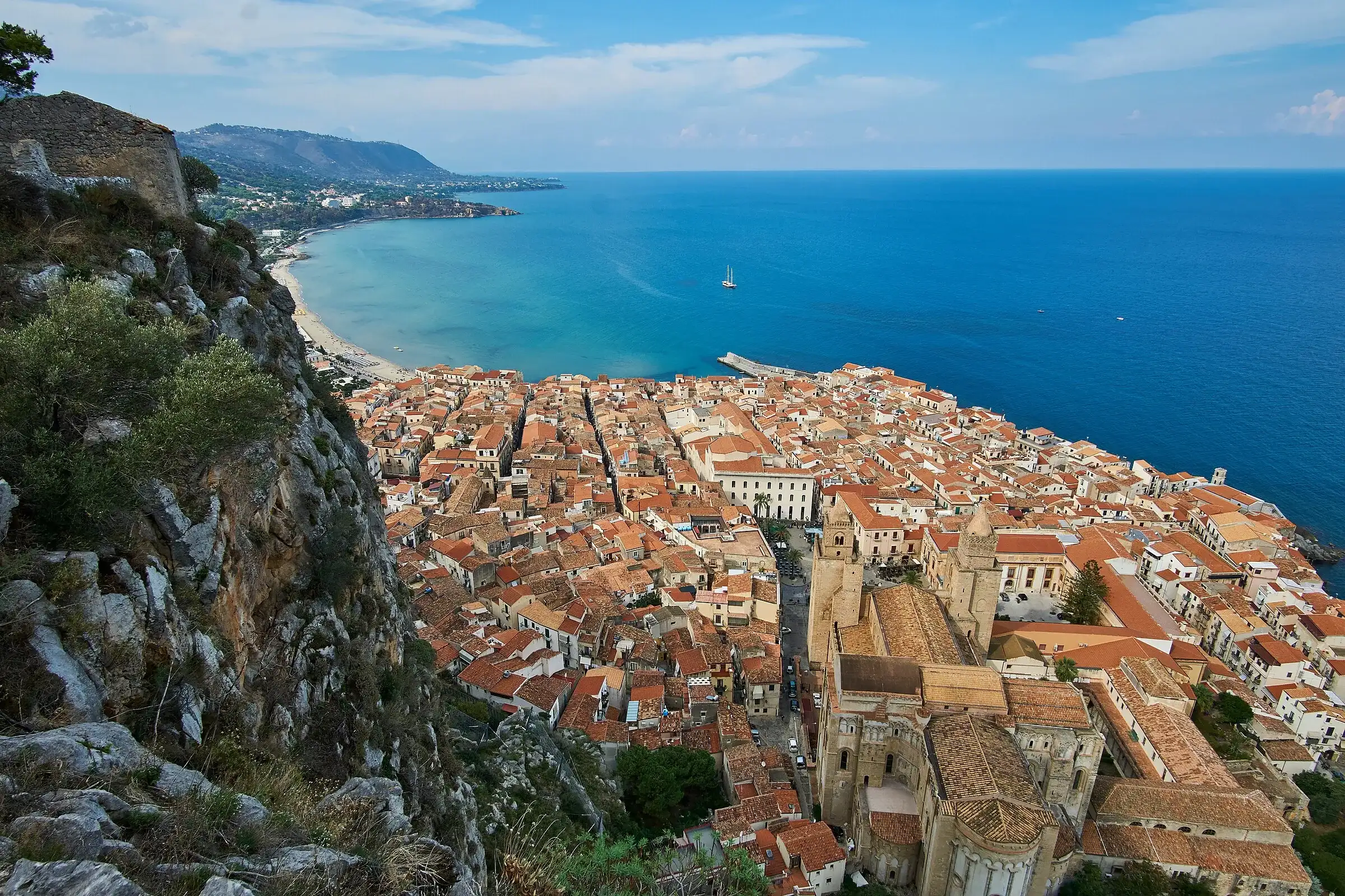 Easy walk
Cefalù · Out and back
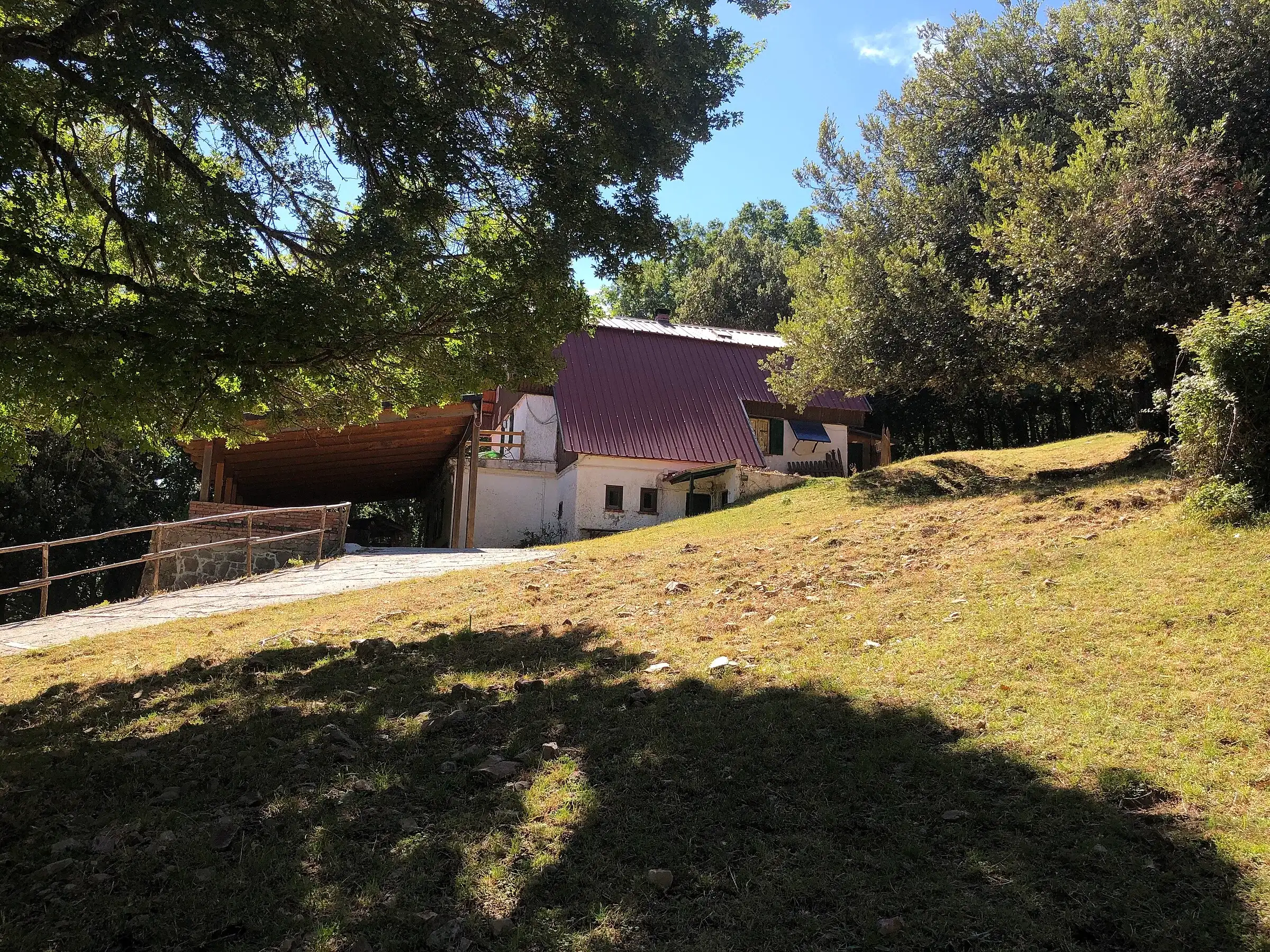 Hiking trail
Piano Sempria · Point to point
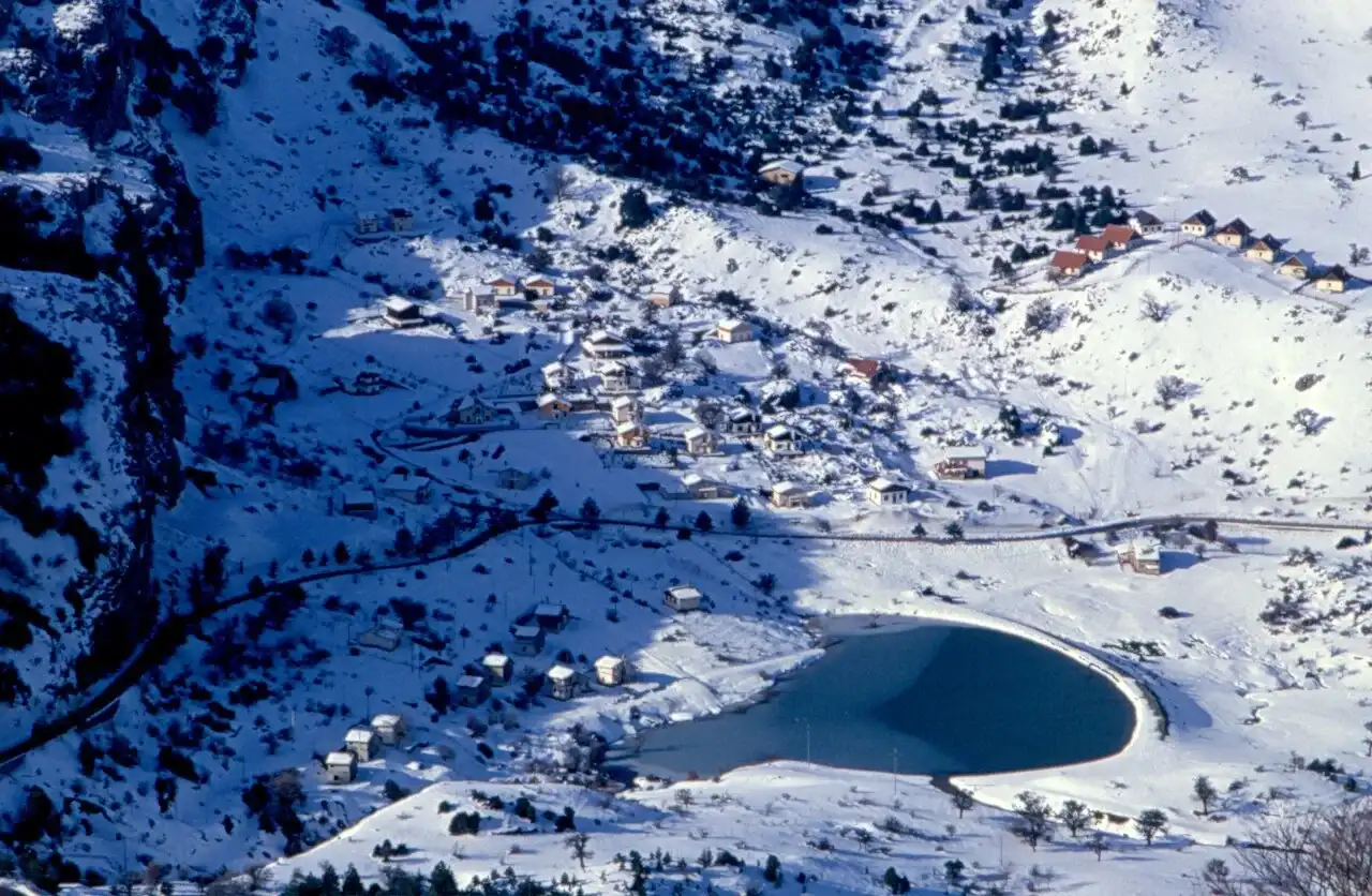 For experienced hikers
Piano Battaglia · Point to point
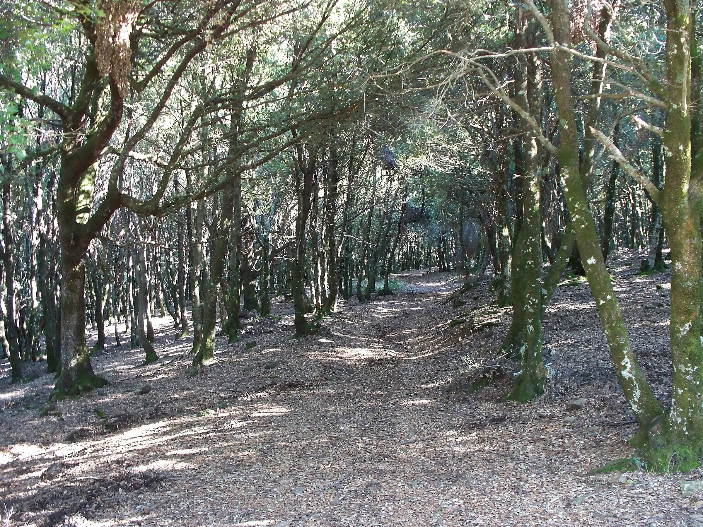
Portella Colla · Point to point
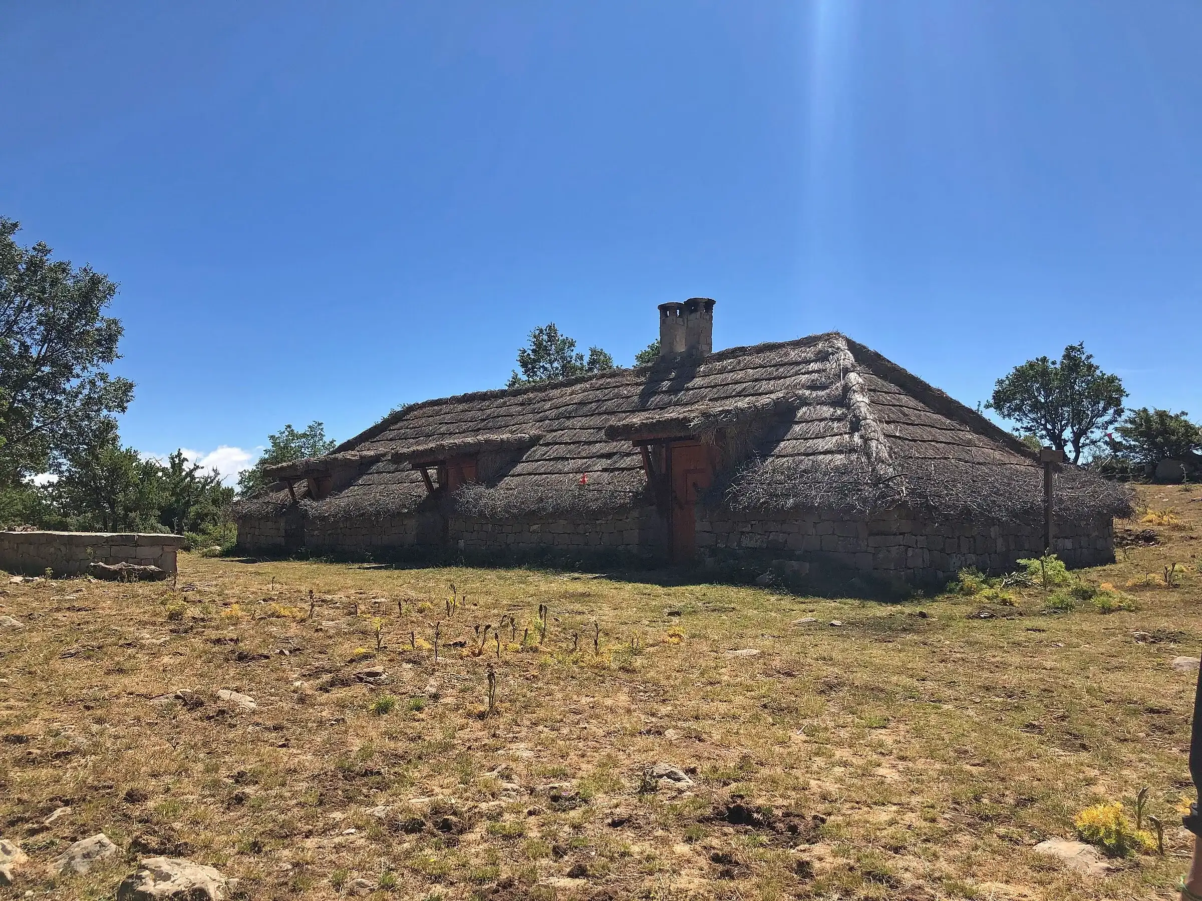 Hiking trail
Case la Pazza · Point to point
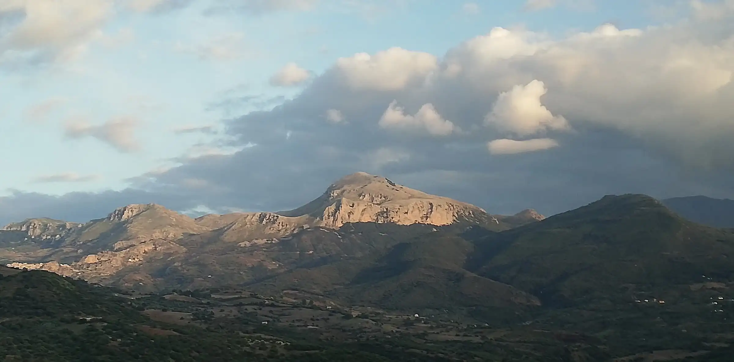 Hiking trail
Gratteri · Point to point
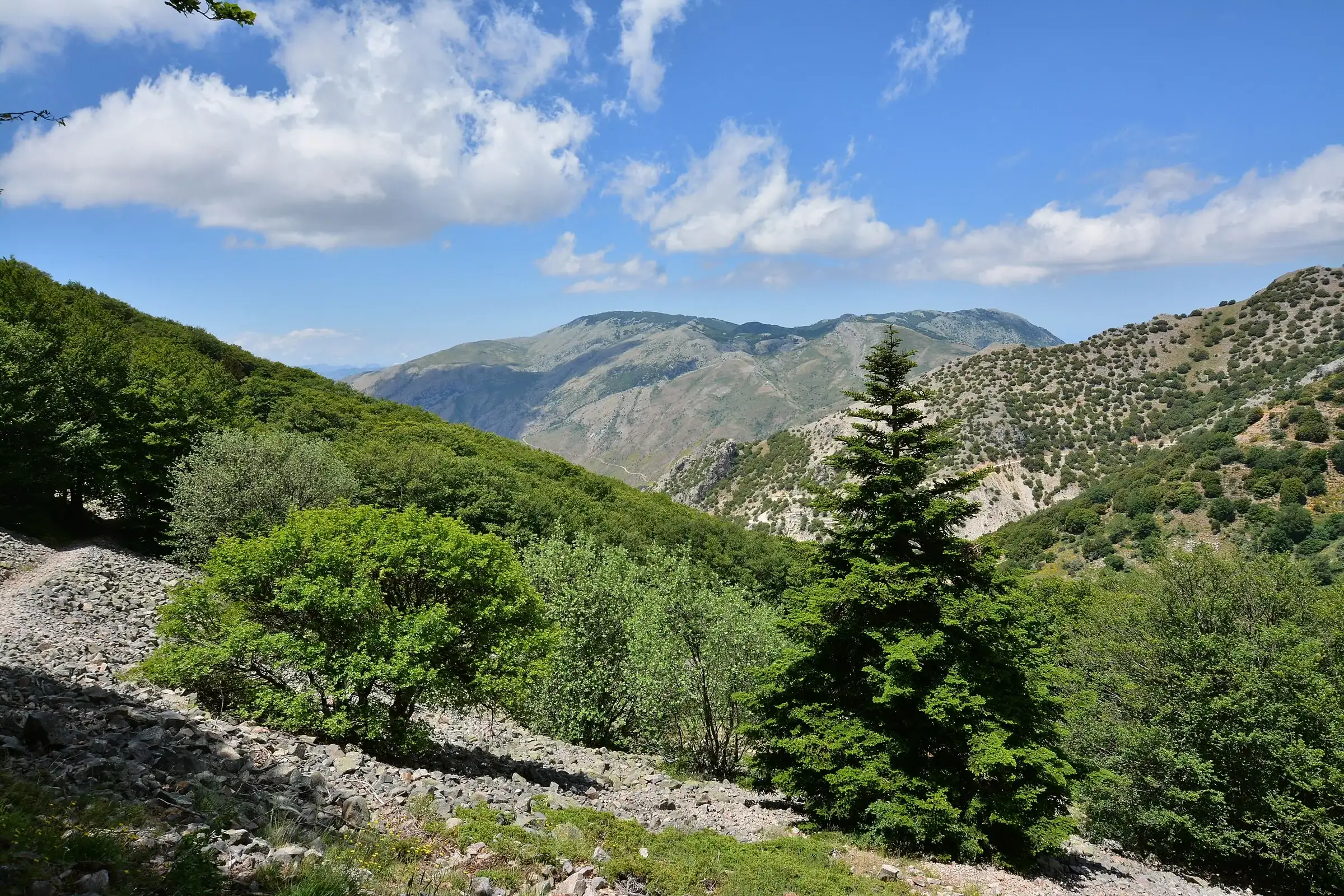 Hiking trail
Contrada Quacella, SP119 · Loop
Polizzi Generosa · Point to point
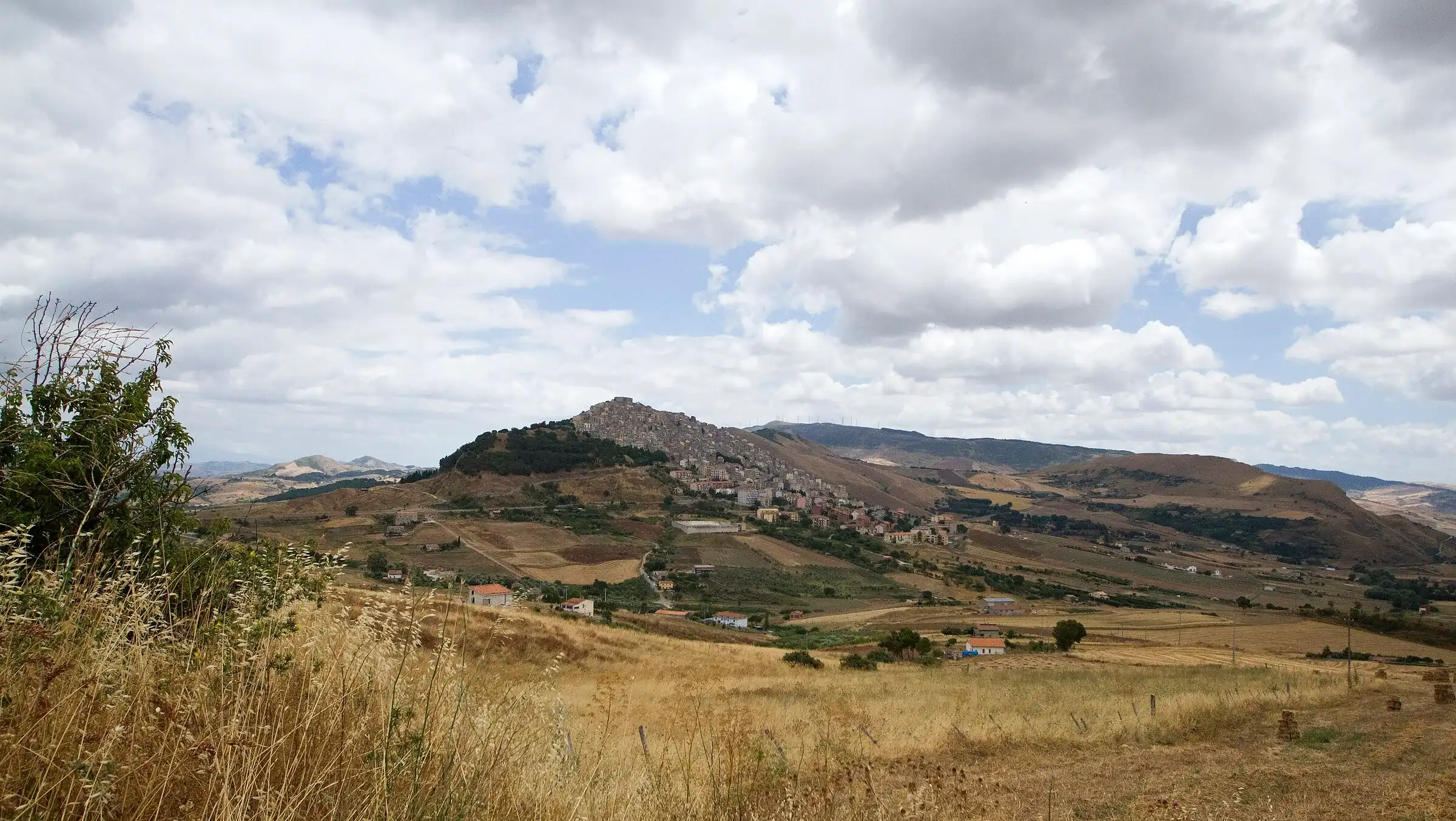
Petralia Sottana · Point to point
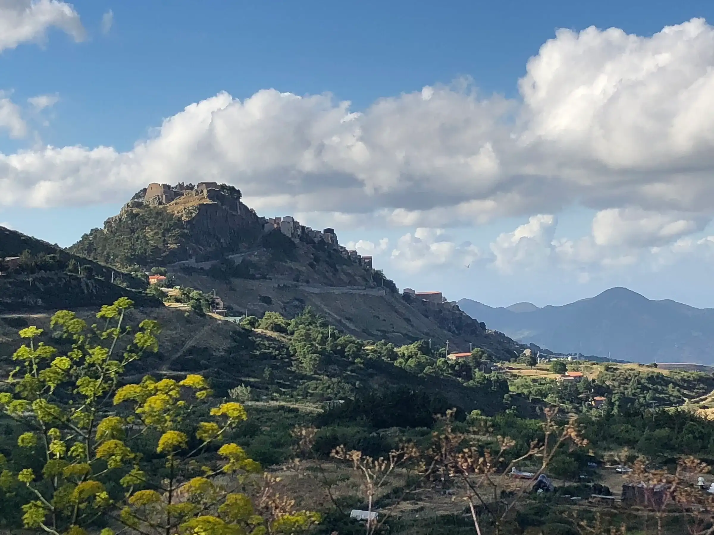
Gangi · Point to point
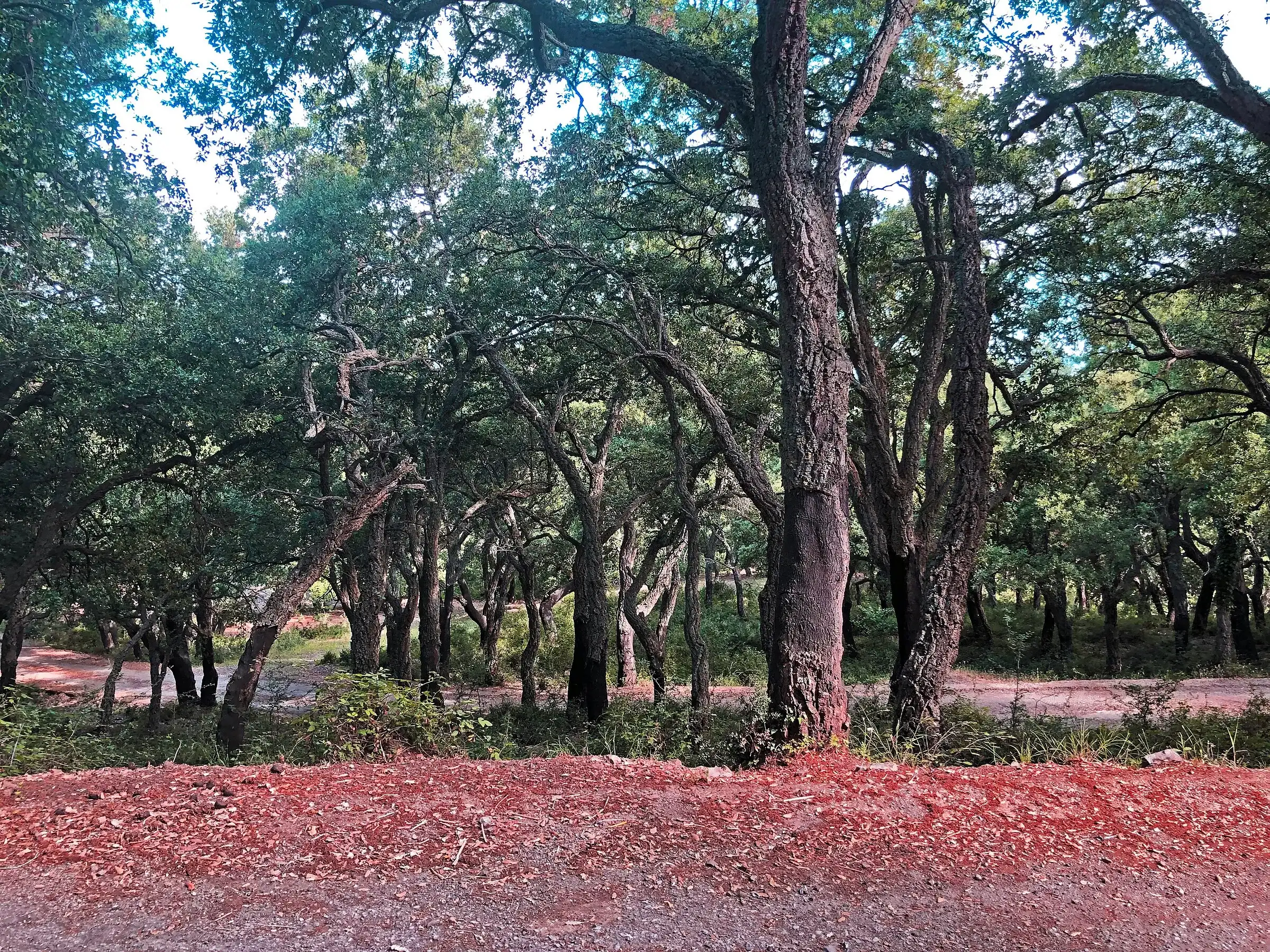
Geraci Siculo · Point to point
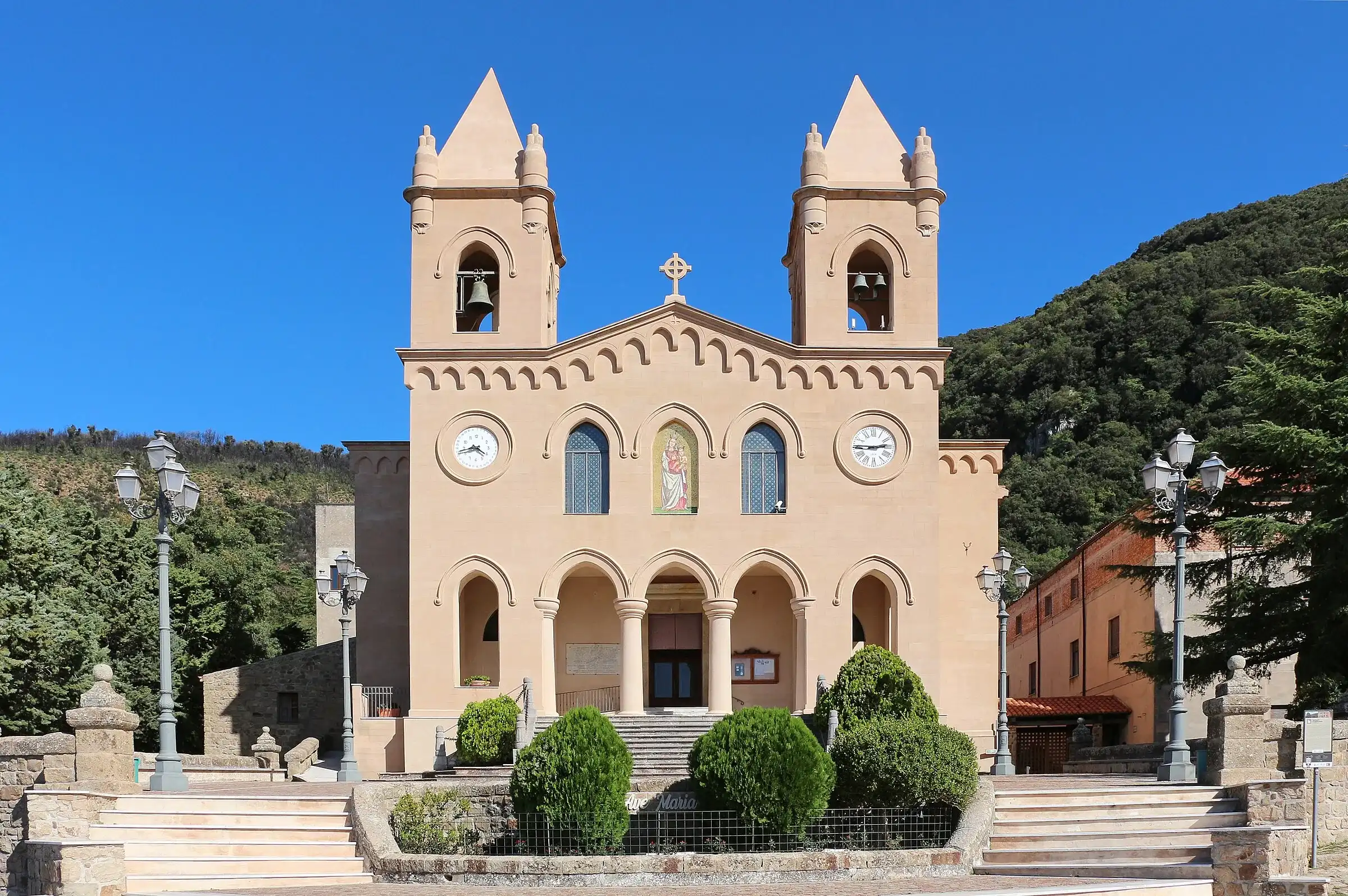
Castelbuono · Point to point
No entries match the filters you chose. Try removing some.
Look at the grade first. We use the Italian Alpine Club (CAI) scale:
Then look at distance and time. We calculate them from the track and round them, without stops. If a route is one way only, the page says so: add the return.
Almost all the high-level hikes start from three points you can reach by car.
Lower down there are the Castelbuono woods, the Gole di Tiberio cut by the Pollina river and the Rocca di Cefalù, a short walk from the sea.
To see the trailheads on a map, use the Map view of the list or the Madonie map.
Between April and June and between September and November. In summer walk early in the morning: even up high the sun is strong and springs are few.
In winter the high plains above 1,500 metres can be under snow. Before you leave, check the Piano Battaglia weather and the guide to snowshoeing in the Madonie.
The weather at the trailhead (it is on every trail page), the state of the roads on the roads page and your gear. The basic rules are in the article on mountain safety.
After the hike, head down to a village: every trail page links the nearby villages, with where to stay and where to eat.
Page updated on 19 October 2026