Itineraries
Madonie travel info
Getting around the Madonie: driving distances and times between the 16 towns, the roads to know, the buses from Cefalù and how to manage without a car.
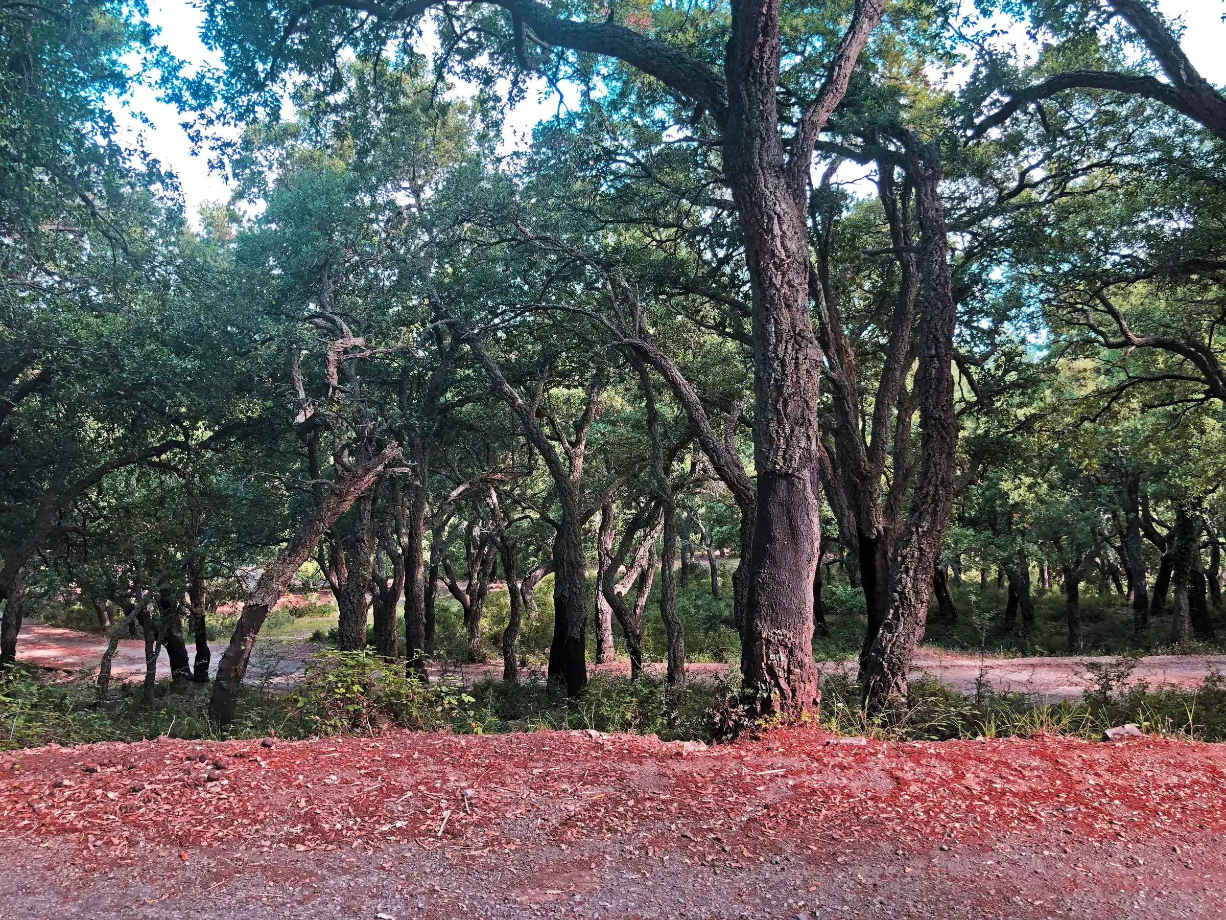
In the Madonie you get around mainly by car: the 16 towns are close as the crow flies, but the roads are mountain roads and a 20 km trip often takes half an hour. Buses serve only the Cefalù-Castelbuono route well, with ten weekday runs taking 40 minutes; to Geraci Siculo and Gangi there is one run a day. Here you will find the distances between towns, the roads to know and how to manage without a car.
At a glance
We calculated the distances below on 19 October 2026 with OSRM, the open routing engine that uses OpenStreetMap data, from the centre of each town. They are driving times without traffic or stops: in practice allow a few minutes more, especially in summer and on feast days.
This table lists the closest pairs of towns, the ones you can combine in the same half day.
| From | To | Km | Time |
|---|---|---|---|
| Petralia Sottana | Petralia Soprana | 3 | 5 min |
| Polizzi Generosa | Castellana Sicula | 8 | 10 min |
| Scillato | Caltavuturo | 8 | 22 min |
| Castellana Sicula | Petralia Sottana | 10 | 10 min |
| Caltavuturo | Sclafani Bagni | 10 | 14 min |
| Isnello | Collesano | 11 | 12 min |
| Collesano | Scillato | 11 | 20 min |
| Castelbuono | Isnello | 12 | 14 min |
| Petralia Soprana | Geraci Siculo | 13 | 15 min |
| Geraci Siculo | Gangi | 14 | 15 min |
| Gratteri | Isnello | 14 | 21 min |
| Petralia Soprana | Gangi | 15 | 17 min |
| Castelbuono | Pollina | 17 | 29 min |
| Cefalù | Gratteri | 17 | 27 min |
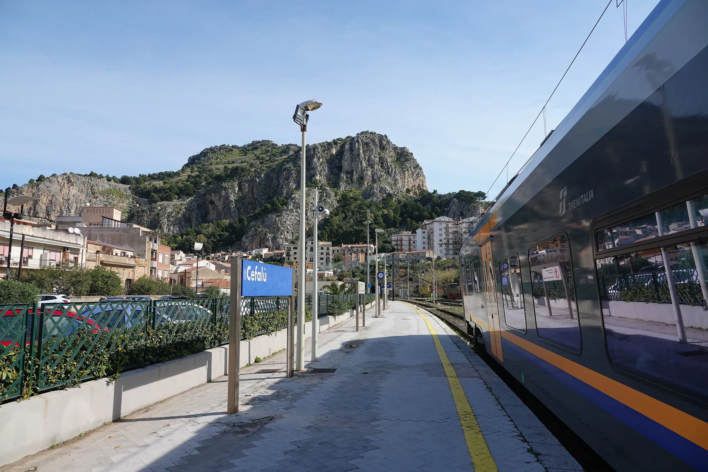
Cefalù is where you arrive if you come by train. This is how far it is from the towns.
| From Cefalù to | Km | Time |
|---|---|---|
| Gratteri | 17 | 27 min |
| Isnello | 21 | 34 min |
| Castelbuono | 23 | 26 min |
| Pollina | 24 | 30 min |
| Collesano | 26 | 39 min |
| Geraci Siculo | 44 | 45 min |
| Gangi | 58 | 1 h 03 |
| Petralia Sottana | 60 | 1 h 05 |
The route from Cefalù to Castelbuono and the times from Palermo, Catania and Messina are also on the roads page, with data calculated the same way.
San Mauro Castelverde and Sclafani Bagni are at the two ends: between them lie over 80 km and about an hour and 40 minutes. San Mauro is about 42 km and 56 minutes from Castelbuono, 27 km and 45 minutes from Gangi. If you want to see every town, split the tour into the northern side (Cefalù, Gratteri, Isnello, Collesano, Castelbuono, Pollina, San Mauro) and the interior (Polizzi, Castellana, the Petralias, Geraci, Gangi, Caltavuturo, Scillato, Sclafani).
You tour the Madonie on a handful of main roads, almost all state and provincial mountain roads.
They are narrow, winding roads where you may find grazing animals on the carriageway. Up high, fog rolls in quickly. Landslides and closures happen: the SP119 from Polizzi Generosa towards Portella Colla has been closed by a landslide since February 2026, and in June work had not started (La Sicilia; Snow section page). From Polizzi to Piano Battaglia you now go via Petralia Sottana: SS643, SS120 and SP54, about 35 km and 43 minutes. From Palermo the most direct climb is from the Buonfornello exit of the A19, then the SS113, the SP9 through Collesano and Piano Zucchi and the SP54: about 89 km and 1 hour 40. The other winter approaches are in how to reach Piano Battaglia in winter.
Checked notices and useful numbers are on the page about Madonie roads. We do not repeat the day’s closures here because they are kept up to date there.
On the main roads listed in the ANAS order you need chains on board or winter tyres, and with snow or ice the rule applies outside those dates too. To drive up to Piano Battaglia see the Snow section.
The old town centres have narrow, often steep streets: leave the car at the car parks at the entrance to town and continue on foot. In the Madonie Park it is forbidden to leave your car outside car parks (Ente Parco delle Madonie): at trailheads use the lay-bys and marked areas.
In the timetable checked on 19 October 2026 on the Trenitalia journey planner, which also shows buses connecting with trains:
The full timetables from Palermo are in our guide on how to get to the Madonie. The buses are not run by Trenitalia: buy the ticket from the company or on board.
For the other inland towns there are intercity lines from Palermo, but we found no up-to-date official timetables to publish. Ask the town hall or your accommodation.
Some trails link the towns or lead from the towns to the peaks. One example is the stretch of the Sentiero Italia CAI from Piano Battaglia to Petralia Sottana. These are real hikes, to be prepared following our guide to mountain safety. All the routes are in the Trails section.
For Piano Battaglia, Pizzo Carbonara or the beech woods without a car, the simplest option is a hiking guide: ask whether transport is included. Activities are in the Things to do section.
| If you want | Suggested base | Why |
|---|---|---|
| to arrive without a car | Cefalù or Castelbuono | trains and buses |
| the Ventimiglia towns | Castelbuono or Geraci Siculo | same road, the SS286 |
| Piano Battaglia and Pizzo Carbonara | Petralia Sottana | 18 km on the SP54 |
| the interior and the Petralias | Petralia Sottana or Gangi | towns 15 to 20 minutes apart |
| sea and mountains | Cefalù | beach and Rocca, mountains an hour away |
Places to stay in each town are on the “where to stay” pages of the villages. To see all the towns and trails on a map there is the Madonie map; for apps and maps to use on the spot, the guide on maps and apps.
Updated on 19 October 2026
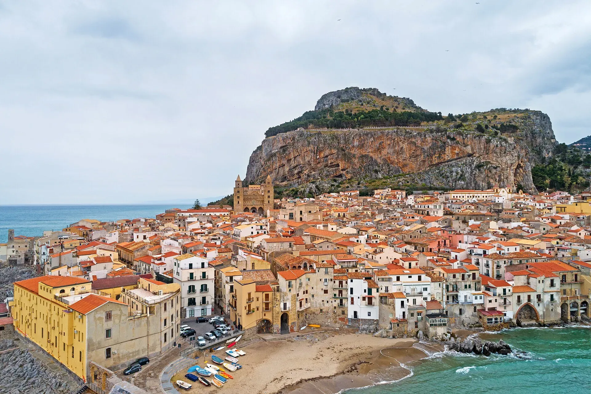
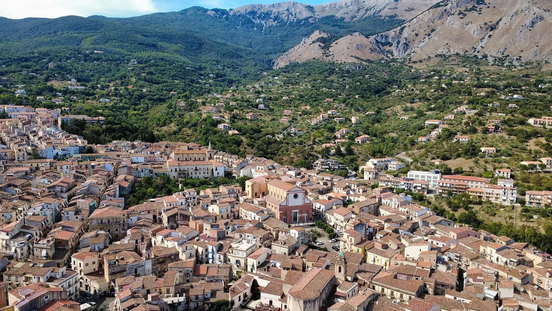
16 m a.s.l.
The Norman cathedral, the Rocca and the sea at the foot of the Madonie
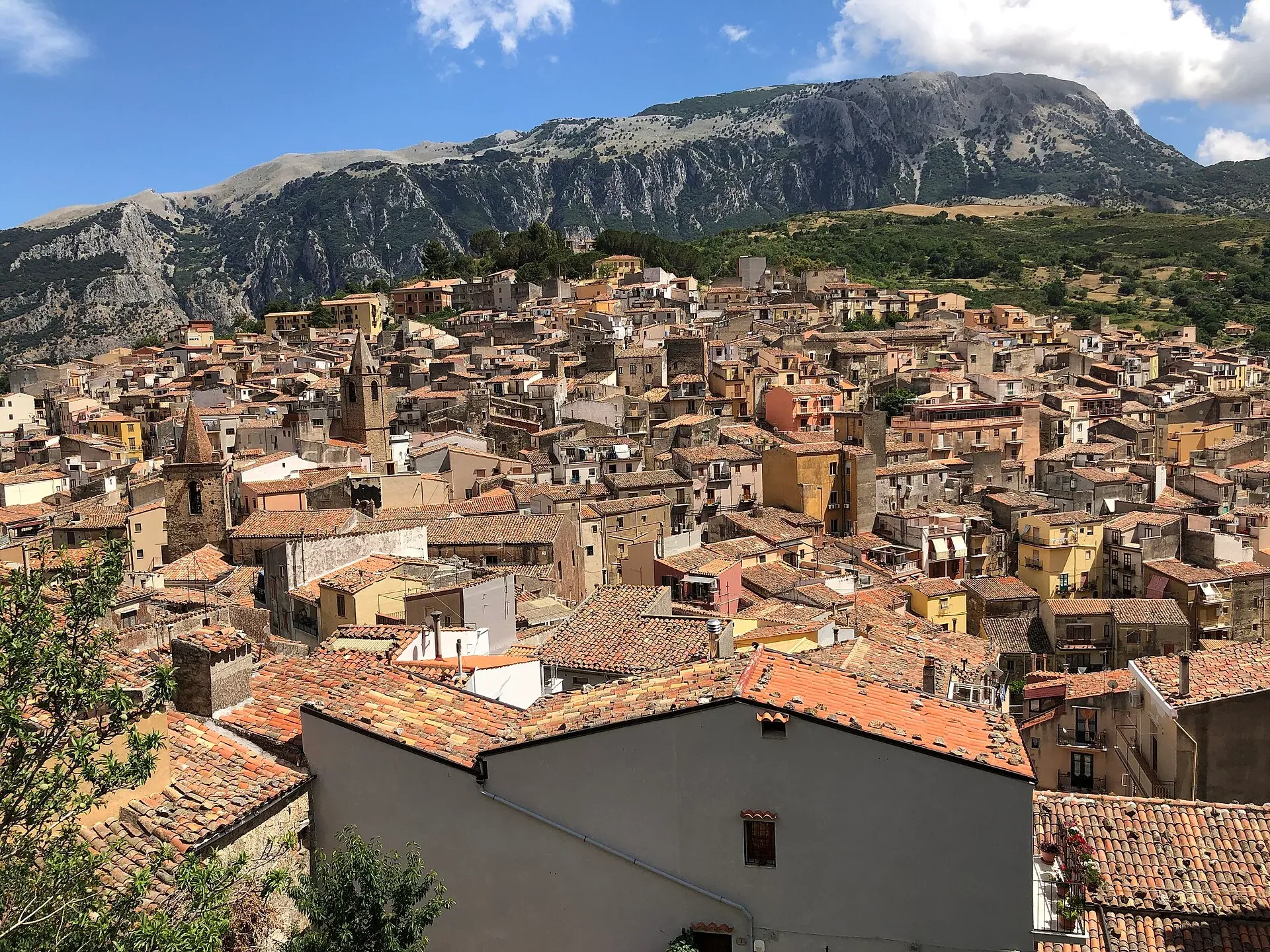
423 m a.s.l.
The town of the Ventimiglia castle, manna and testa di turco
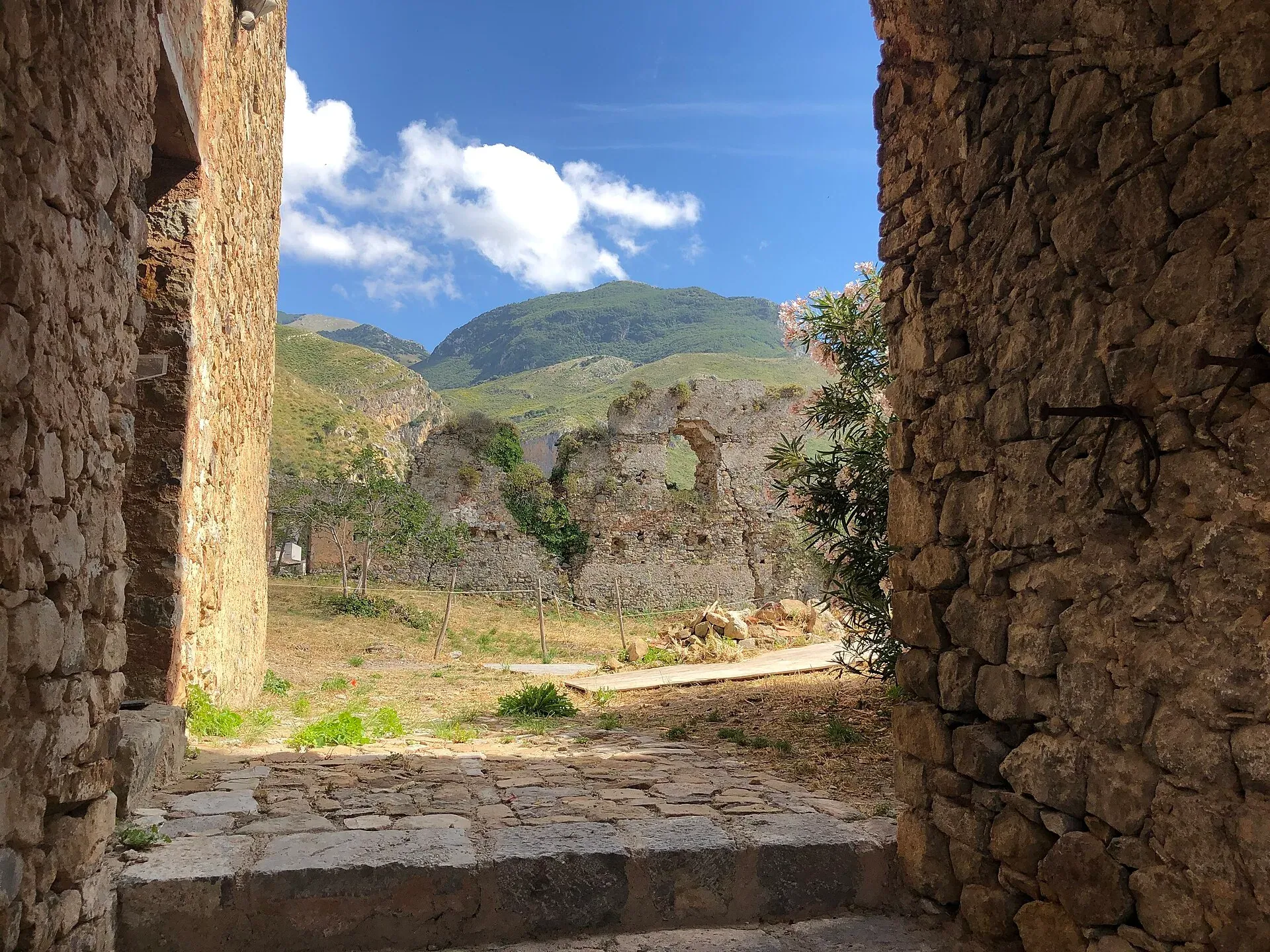
583 m a.s.l.
The town of the stars, beneath the Madonie cliffs
470 m a.s.l.
Ceramics, a castle and the Targa Florio museum
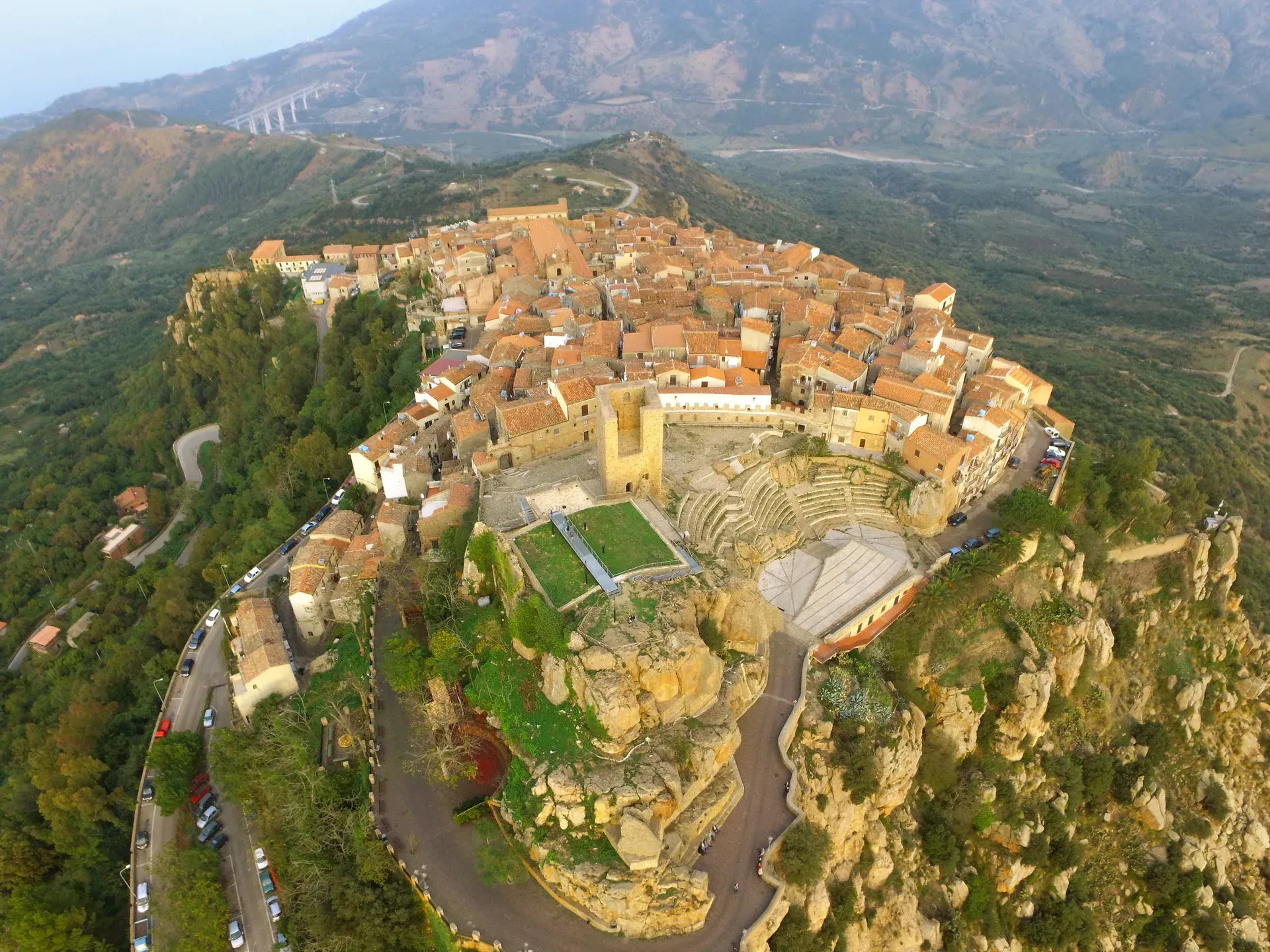
680 m a.s.l.
The terrace over the Tyrrhenian Sea above Cefalù
664 m a.s.l.
The stone theatre and the manna, above the sea at Finale
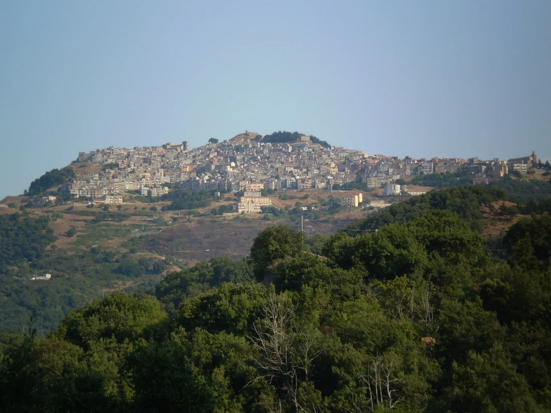
1,025 m a.s.l.
The village at a thousand metres above the Gole di Tiberio
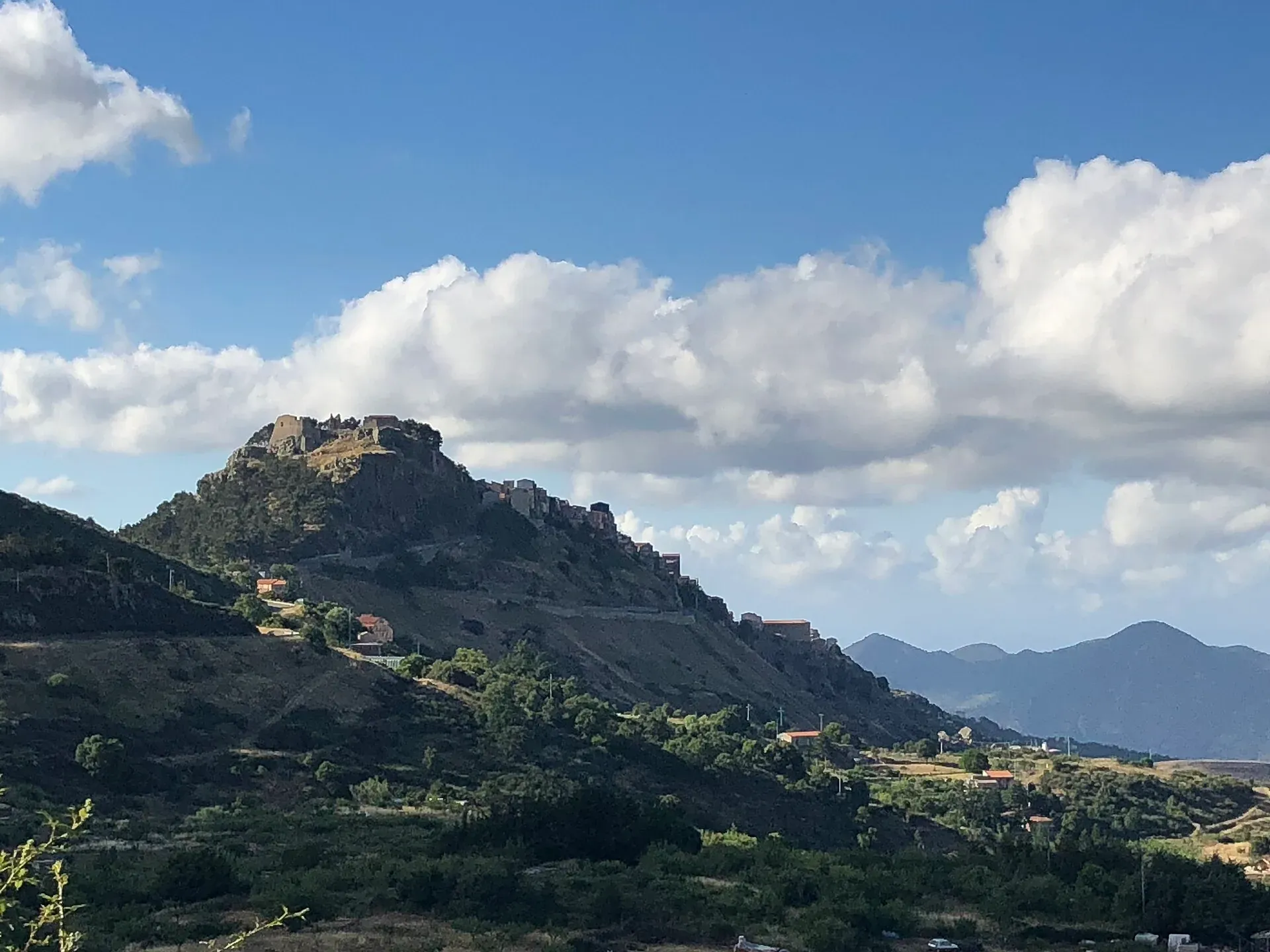
1,077 m a.s.l.
The first capital of the Ventimiglia, above the Madonie woods
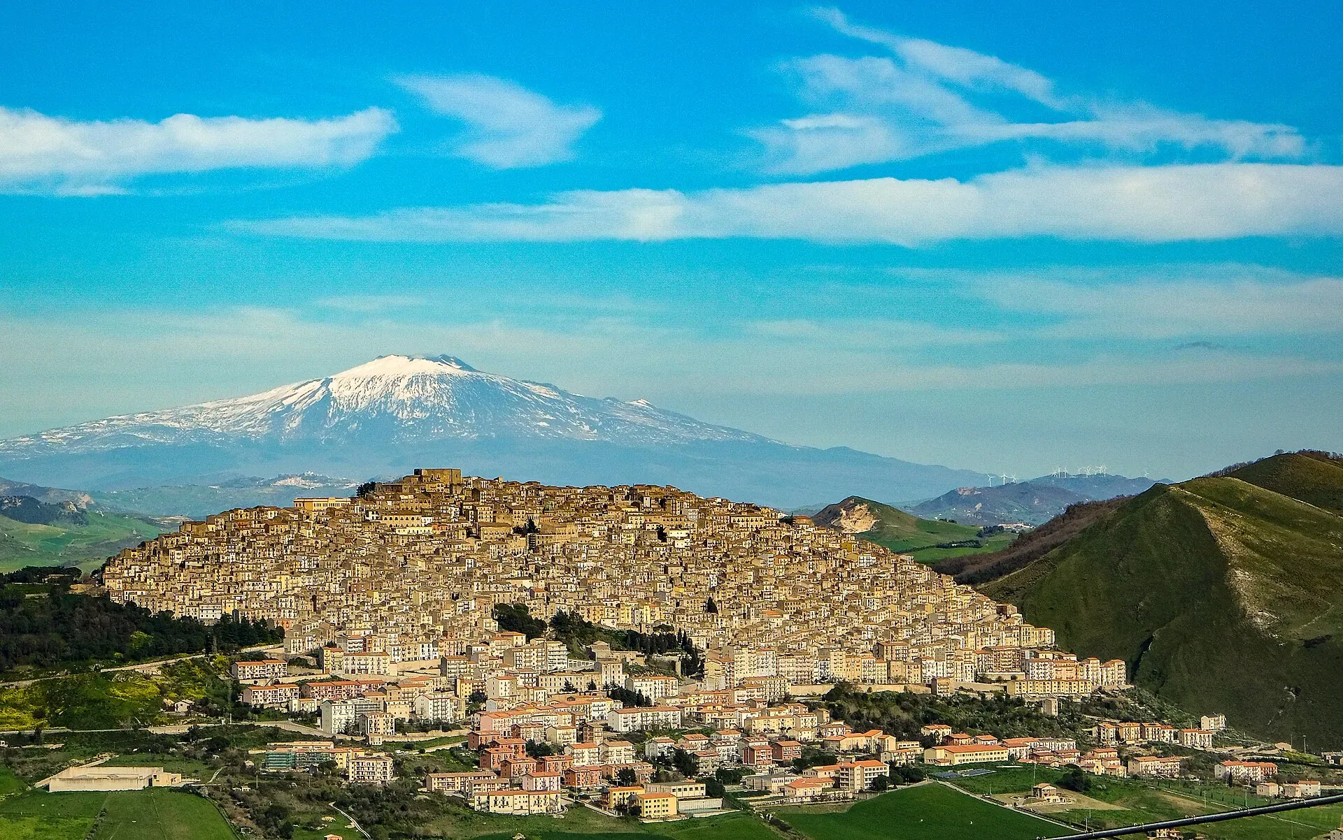
1,011 m a.s.l.
Borgo dei Borghi 2014, all stone on Monte Marone
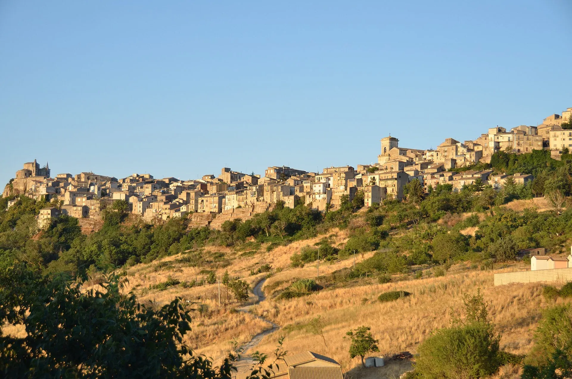
1,147 m a.s.l.
The highest town in the Madonie, Borgo dei Borghi 2018
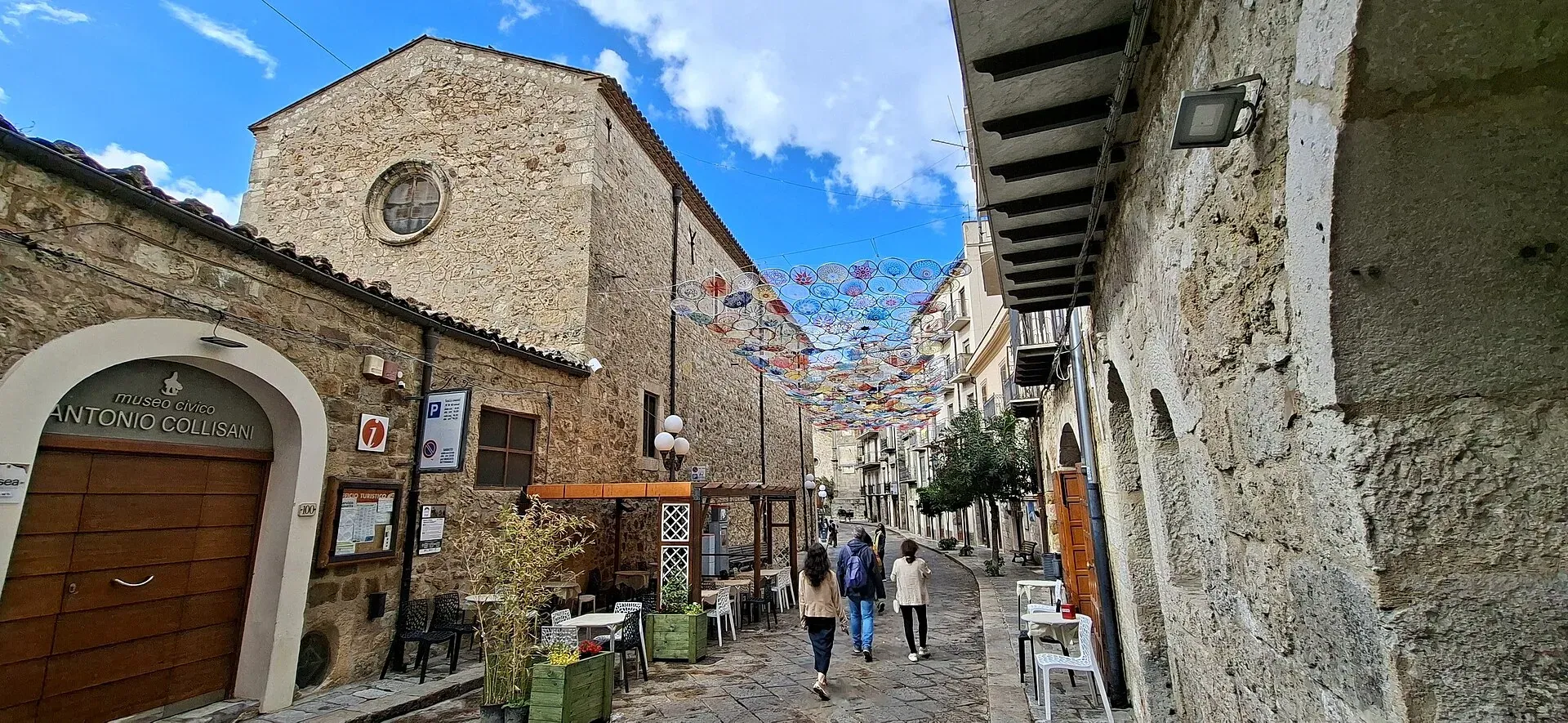
1,039 m a.s.l.
Home of the Madonie Park, at the foot of Piano Battaglia
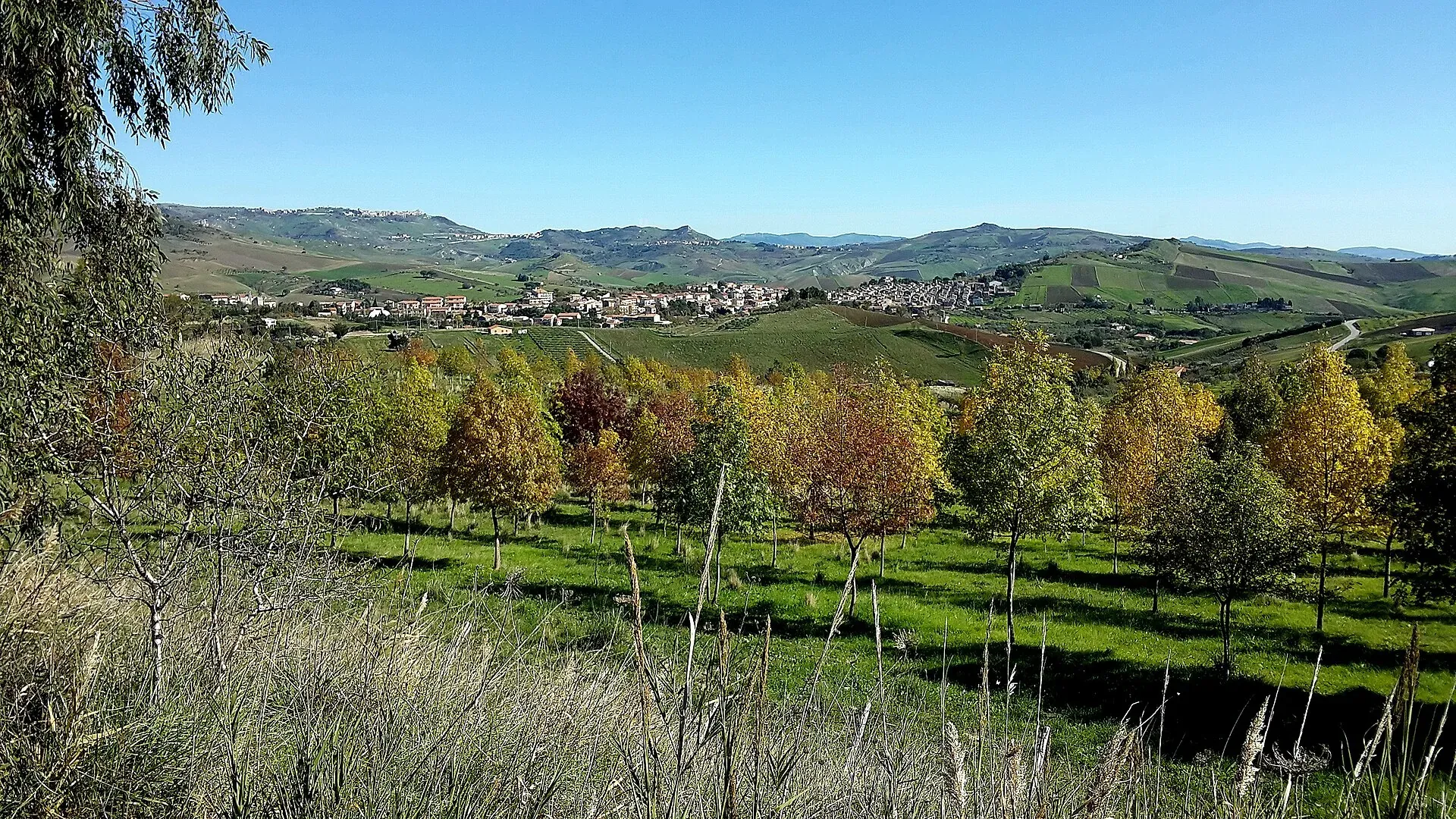
774 m a.s.l.
The village of hamlets and murals
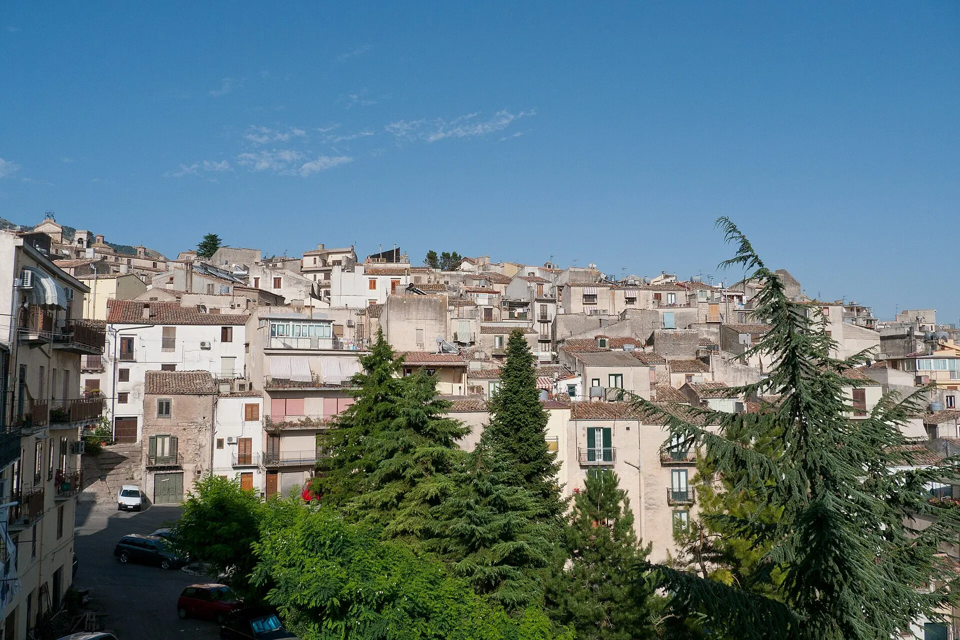
920 m a.s.l.
The town of the Abies nebrodensis, sfoglio and badda beans
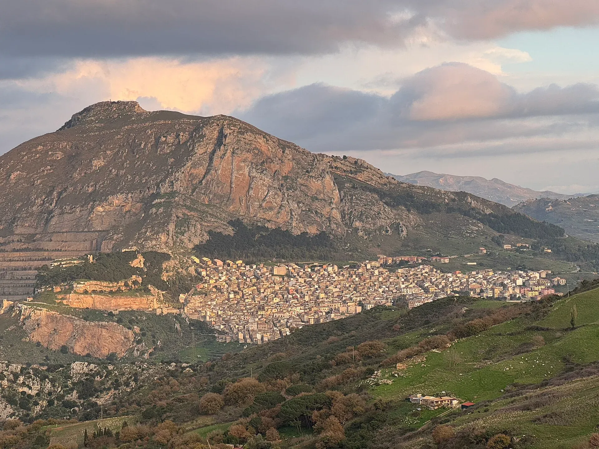
631 m a.s.l.
The village below the Rocca di Sciara
239 m a.s.l.
Springs, water mills and oranges
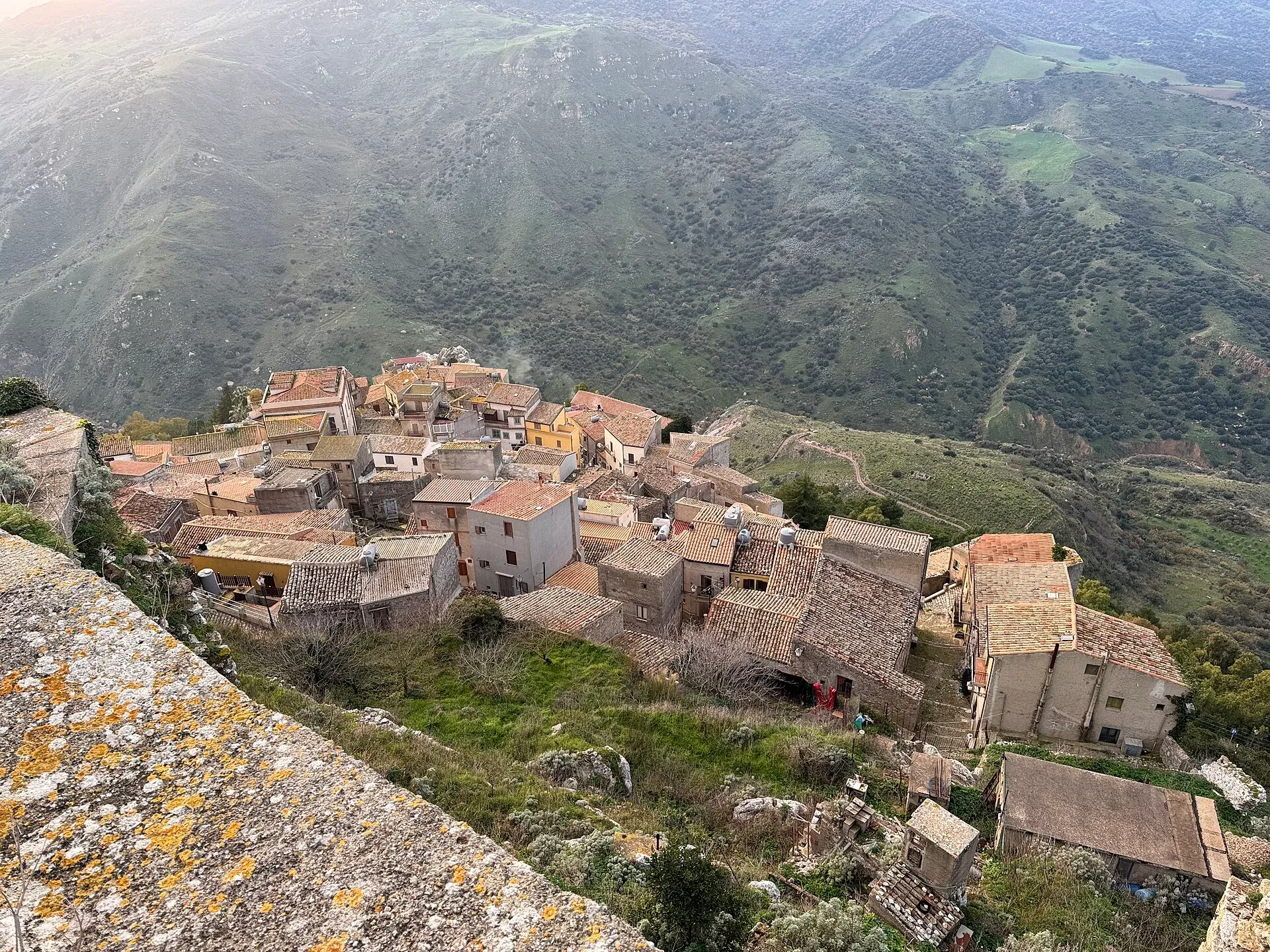
755 m a.s.l.
The walled village on the rock and its hot spring
Info
How to reach the Madonie from Palermo, Catania and the airports: trains to Cefalù, buses to Castelbuono and Gangi, motorways, with checked timetables.
Info
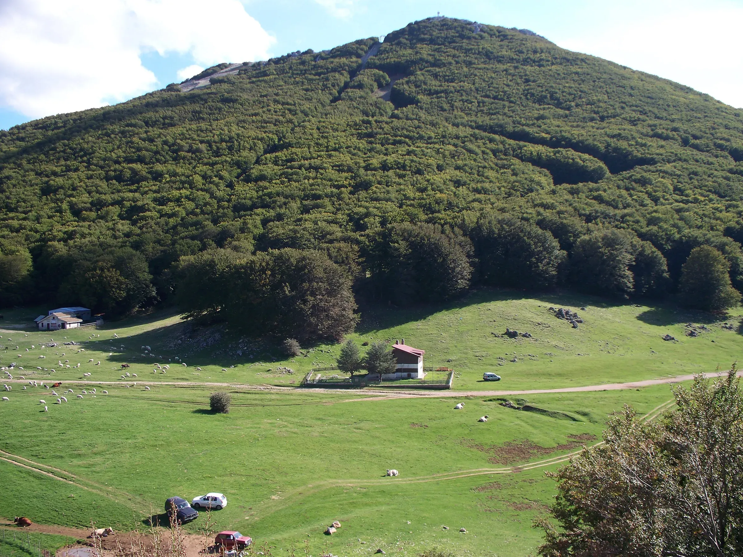
When to visit the Madonie: spring and autumn for hiking, cool summers full of festivals, winter for snow. What to do in the Madonie month by month.
Itineraries