Polizzi Generosa · Out and back
Monte Quacella: trails and routes to the summit
Monte Quacella, 1,869 m, above Polizzi Generosa: the routes up from the Abies side and along the ridge from Piano Battaglia, EE difficulty, season and tips.
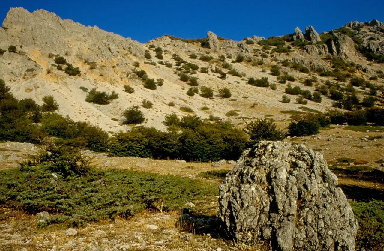
Along the way
- Summit at 1,869 metres above the Quacella amphitheatre
- Dolomite walls and spires, the botanists' "Sicilian Alps"
- Ascent from the Vallone Madonna degli Angeli and Piano Iola
- Rare endemic plants among rocks and scree
- Silence and few hikers
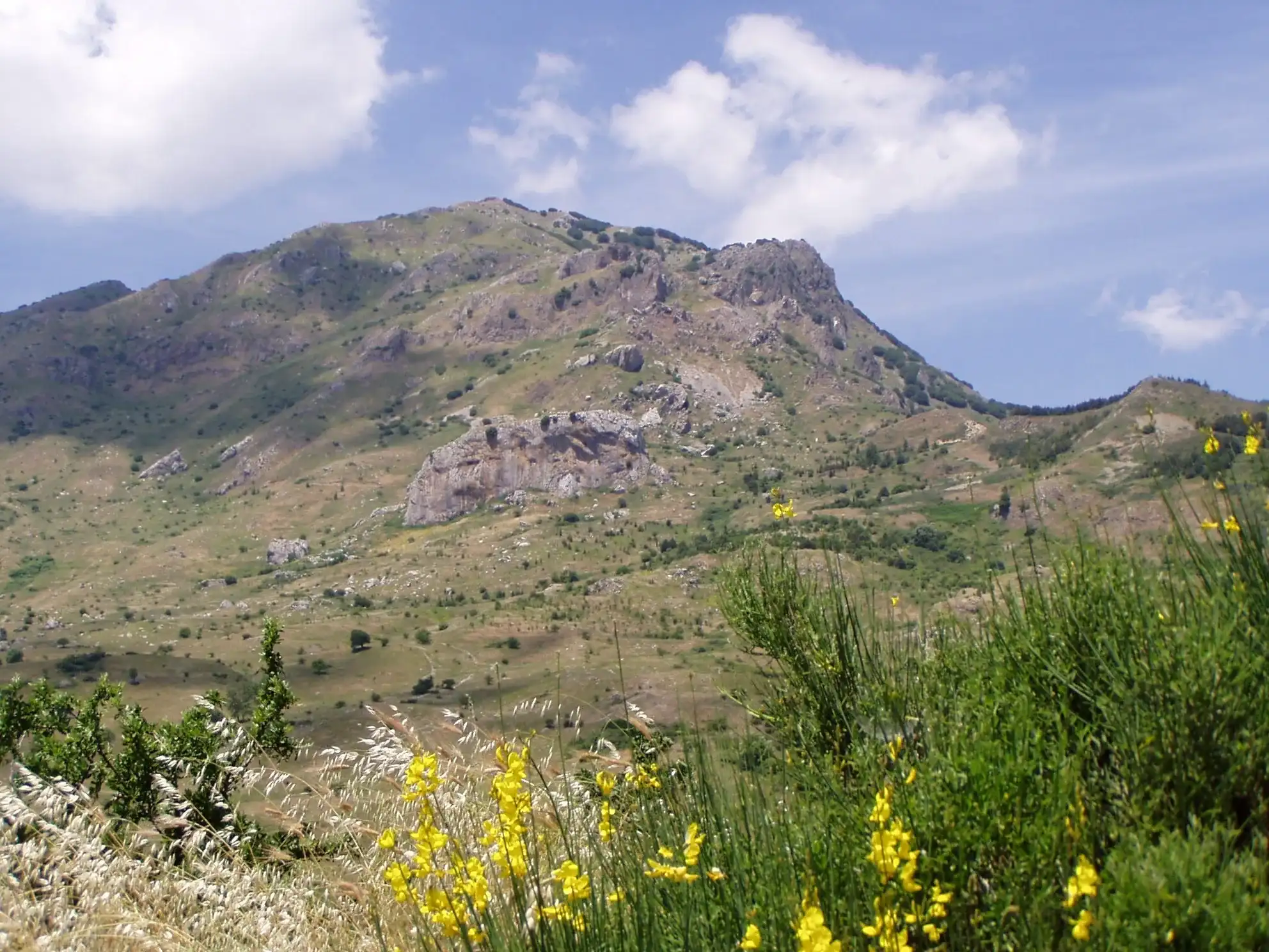
Monte Quacella, 1,869 metres, is the pale rock mountain that closes Piano Battaglia to the south, in the territory of Polizzi Generosa. You climb it from the Vallone Madonna degli Angeli side, via Piano Iola, or along the ridge coming from Piano Battaglia. It is an EE climb, for experienced hikers, to be done on a dry, clear day.
Do not expect crowds. You come here for the silence and the walls, not for an easy view.
Why climb Monte Quacella
To see the Quacella amphitheatre up close. The Park describes it as a Gothic cathedral carved in rock: isolated spires, gullies, vertical walls.
The botanist Lojacono Pojero called these mountains the “Sicilian Alps”, the Park recalls. Once up there you understand the comparison: for a moment you forget you are in Sicily.
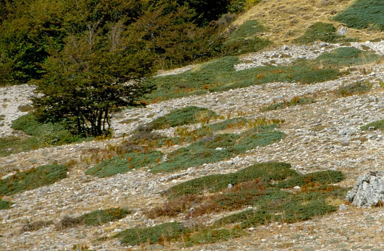
And for the botany. On the slopes of the Quacella and along the nearby Abies trail the Park lists rare and endemic plants, such as Nebrodi milk-vetch, Sicilian fairy flax and Sicilian dwarf iris.
The geology in two lines
The Quacella walls are dolomite. According to the Park they were the slopes that, in the Mesozoic, linked the coral platforms of Pizzo Carbonara to the deep sea basins. Walking from Piano Battaglia towards the Quacella, in practice, you go down from the edge of an ancient coral reef towards the open sea of more than 200 million years ago.
The routes up
From the Polizzi Generosa side. This is the route CAI has used on its club outings: by car from Polizzi Generosa to Piano Noce, on the SP119, then on foot on the Abies nebrodensis trail, via Piano Iola and up to the summit. The first part matches our Abies nebrodensis trail, which starts in the Quacella area.
From Piano Battaglia, along the ridge. CAI trail 588, the Cresta della Quacella, starts at Piano Battaglia and follows the crest southwards. In OpenStreetMap the summit of Monte Quacella lies right on this route, which is graded EEA. Find out about the state of the trail before choosing it.
For both routes you need a GPS track loaded on your phone. We do not publish technical data here.
Who it is for
For people with mountain experience, a steady step on scree and a sense of direction. The ground is steep, the path disappears in places, and on the way down loose stones are the real difficulty. CAI asks for mountain boots, compulsory on its outings.
If it is your first time, go with a hiking guide or on a CAI outing.
When to go
June to October, with dry ground. The flowers come in late spring, the colours in October. With fog, rain or wet rock, postpone: the descent becomes dangerous.
In winter snow covers the Quacella and the Park advises against hikes in the high Madonie. Check the weather at Piano Battaglia and in Polizzi Generosa the day before.
How to get there
For the south side you start from Polizzi Generosa on the SP119, closed after a landslide near the Portella Colla junction since February 2026 and, at the time of writing, not reopened: while it stays closed this route cannot be reached by car. Check the page on Madonie roads before setting off. For the ridge you start from Piano Battaglia, which you can also reach from Petralia Sottana on the SP54.
Where to sleep and eat
Polizzi Generosa is the closest base for the south side: accommodation in where to stay in Polizzi Generosa and restaurants in where to eat in Polizzi Generosa. On the Piano Battaglia side there is the Rifugio Giuliano Marini.
Safety tips
- Carry all the water you need: there are no reliable fountains up high.
- Start early and set a time to turn back even if you are not at the top.
- Always have a warm layer and a windproof jacket in your pack.
- Stay on the track: the Park forbids damaging plants, and many here are endemic.
If you are looking for a Madonie summit with fewer difficulties, see Pizzo Carbonara from Piano Battaglia.
Frequently asked questions
- How high is Monte Quacella?
- The summit of Monte Quacella is at 1,869 metres according to OpenStreetMap. It lies in the territory of Polizzi Generosa, south of Piano Battaglia, and is one of the highest peaks of the Madonie range.
- Is Monte Quacella difficult?
- It is a climb for experienced hikers, graded EE. You walk on steep slopes and scree, the path is faint in places and going down needs more care than going up. On its club outings, CAI makes mountain boots compulsory.
- Where do you start the climb to Monte Quacella?
- The route used by CAI goes by car from Polizzi Generosa to Piano Noce, on the SP119, and continues on foot on the Abies nebrodensis trail and via Piano Iola to the summit. From the north, CAI trail 588, the Cresta della Quacella, comes from Piano Battaglia along the ridge.
- How long does the climb to Monte Quacella take?
- Plan a full day, with a packed lunch. Times depend a lot on the route, your pace on scree and visibility: if you do not know the mountain, it is wise to go the first time with a guide or a CAI outing.
- Can you climb Monte Quacella with children?
- It is not a destination for children. Steep slopes, loose stones and stretches without a path call for experience and balance. With a family, choose the Abies nebrodensis trail, which passes below the Quacella amphitheatre and gives the same view of the walls.
- When is the best time for Monte Quacella?
- Late spring, summer and early autumn, with dry ground and a clear sky. With fog or wet rock the climb becomes risky. In winter snow covers the mountain and the Park advises against hiking in the high Madonie.
Sources
- Ente Parco delle Madonie, Sentiero geologico Inghiottitoio della Battaglietta - Portella Colla
- Ente Parco delle Madonie, Sentiero degli Abies nebrodensis
- OpenStreetMap, Monte Quacella (nodo 846241980)
- OpenStreetMap, relazione 8451475 (Cresta della Quacella, CAI 588)
- Balarm, escursione del CAI sul Monte Quacella
- Visit Polizzi Generosa, località Quacella e sentiero degli Abies
Page updated on 19 October 2026
Nearby
Villages nearby
More trails
You may also like
 Hiking trail
Contrada Quacella, SP119 · Loop
Vallone Madonna degli Angeli and the Abies nebrodensis
 Hiking trail
Piano Noce, SP119 · Out and back
Monte San Salvatore, the second peak of the Madonie
Portella Colla · Point to point
Trail 561, from Portella Colla to Piano Cervi
- Distance
- about 10 km
- Time
- about 3 h