Travel info
Nature and landscapes
The peaks of the Madonie: Pizzo Carbonara 1,979 m, Pizzo Antenna Grande, Monte San Salvatore, Quacella and Mufara. Table of heights, trails and practical tips.
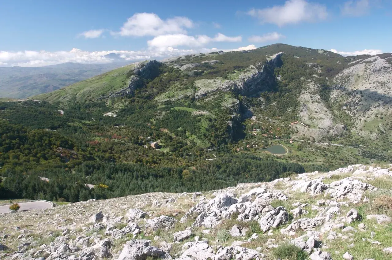
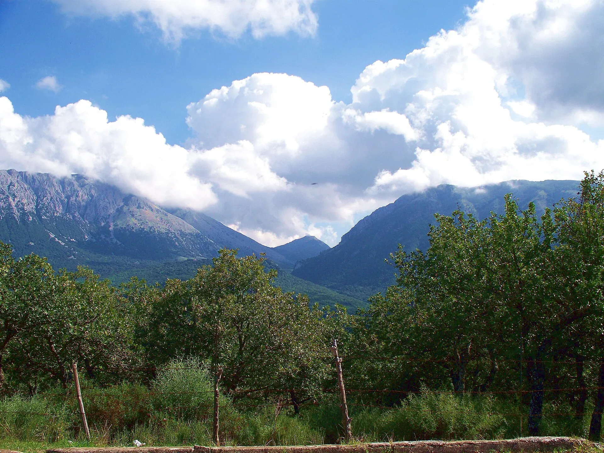
The highest peak of the Madonie is Pizzo Carbonara, 1,979 metres, the second highest summit in Sicily after Etna. On the same karst plateau stand Pizzo Antenna Grande, 1,977 metres, and Pizzo Palermo, 1,964 metres. Monte San Salvatore, Monte Ferro, Pizzo Scalonazzo, Monte Quacella and Monte Mufara also top 1,850 metres, and just below is Monte Alto with the Madonna dell’Alto sanctuary.
The Madonie are also among the oldest mountains in Sicily: the Park Authority notes that their rocks began to form in the Triassic, about 200 million years ago. This guide lists the heights in a table, explains what the peaks are made of and tells you which ones have a marked trail.
At a glance
Heights vary by a few metres from one source to another. This table uses the Park Authority’s figures where available, then those of the Park’s vegetation map (Raimondo and others, 2004) and of Wikipedia, and points out the differences.
| Peak | Height | Group | Source |
|---|---|---|---|
| Pizzo Carbonara | 1,979 m | Carbonara | Park Authority |
| Pizzo Antenna Grande (or della Principessa) | 1,977 m | Carbonara | Park Authority |
| Pizzo Palermo | 1,964 m | Carbonara | Tourist district, Wikipedia |
| Monte San Salvatore | 1,912 m | San Salvatore | Park Authority |
| Monte Ferro | 1,906 m | Carbonara | Park Authority |
| Pizzo Scalonazzo | 1,904 m | Carbonara | Wikipedia |
| Monte Quacella | 1,869 m | Carbonara | Park Authority |
| Monte Mufara | 1,865 m | Carbonara | Park Authority |
| Monte Alto (Madonna dell’Alto) | 1,819-1,827 m | San Salvatore | Tourist district, Wikipedia |
| Monte dei Cervi | 1,792-1,794 m | Cervi | Park Authority, Raimondo and others |
| Monte Daino | 1,786 m | Carbonara | Raimondo and others |
| Monte Cavallo | 1,757 m | San Salvatore | Raimondo and others |
| Pizzo Antenna Piccola | 1,697 m | Cervi | Raimondo and others |
| Pizzo Colla | 1,676 m | Cervi | Raimondo and others |
| Pizzo Catarineci | 1,660 m | eastern | Raimondo and others |
| Monte Castellaro | 1,656 m | Cervi | Raimondo and others |
| Pizzo Dipilo | 1,385 m | northern | Park Authority |
| Rocca di Sciara | 1,080 m | western | Park Authority |
| Rocca di Cefalù | 268 m | on the coast | Wikipedia |
For Monte dei Cervi one Park Authority page gives 1,754 metres, but the same Authority’s 2026 plan and the tourist district give 1,792 metres.
The Park Authority divides the high Madonie into three blocks, separated by deep valleys. Each has different rocks and shapes.
This is the central and highest block. It lies almost entirely above 1,600 metres and at the top opens into a karst plateau full of dolines up to 25 metres deep. The rocks are hard grey limestones, formed from ancient coral reefs.
It includes Pizzo Carbonara, Pizzo Antenna Grande, Pizzo Palermo, Monte Ferro and, further south, Monte Mufara and Monte Quacella. To the south the group is closed by the Vallone Madonna degli Angeli; to the north it slopes towards Castelbuono and Isnello.
The Cefalù Madonie tourist district describes the summit landscape as almost lunar: high pastures, dolines colonised by beech and endemic plants such as the Nebrodi violet.
The second block peaks at Monte San Salvatore, 1,912 metres, and runs from Polizzi Generosa towards Castelbuono. The rocks are Numidian Flysch sandstones, which are softer: that is why the profiles are rounder and the slopes more wooded.
On the same ridge stand Monte Alto, with the Madonna dell’Alto sanctuary, Monte Cavallo and Monte Scalone, on whose northern side grow the last Abies nebrodensis.
The westernmost block lies between Collesano and Scillato. It peaks at Monte dei Cervi and includes Monte Castellaro, Pizzo Antenna Piccola and Monte Fanusi. According to Wikipedia it is the great water reservoir of the Madonie, with the Scillato springs at its foot.
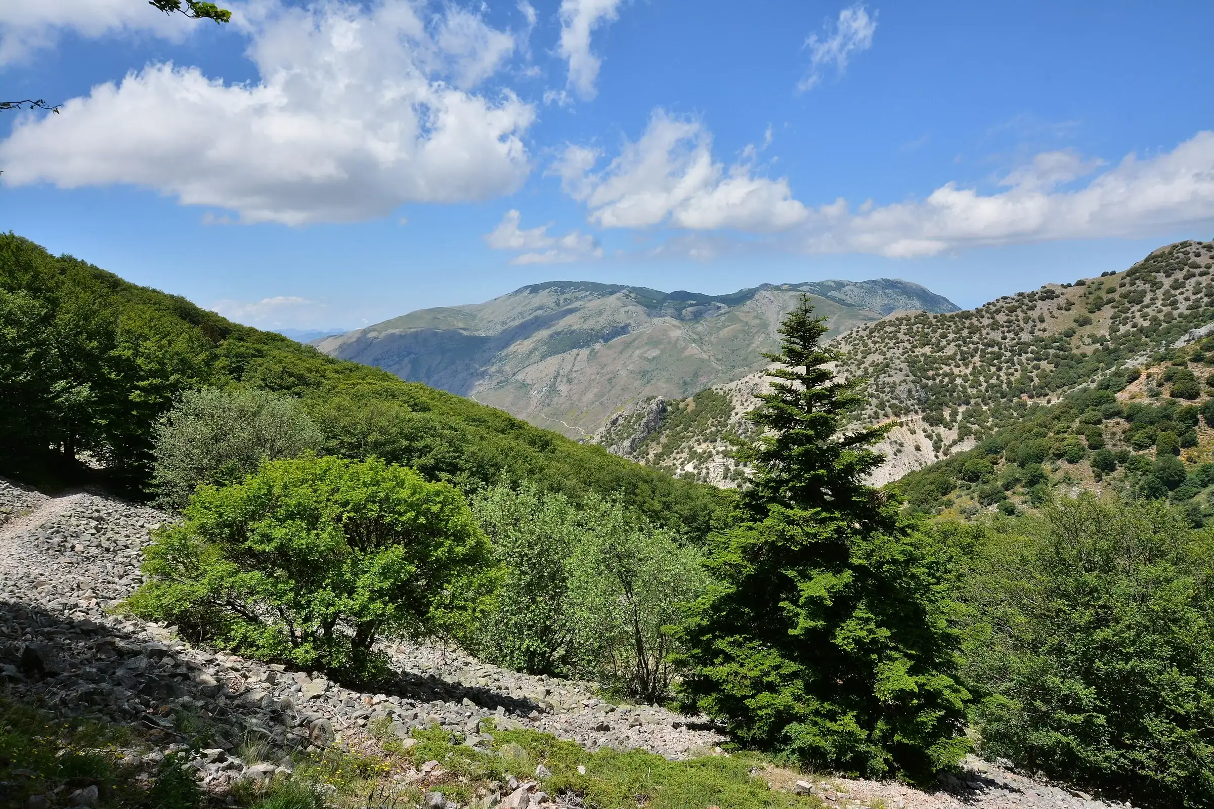
Monte Quacella, 1,869 metres, is a dolomite massif of cliffs, spires and scree. The botanist Lojacono Pojero called it the “Sicilian Alps”. On its southern side the holm oak reaches about 1,800 metres, the highest altitude in Italy, and meets the beech.
Botanists know it for the rare scree plants, such as the Sicilian feather grass, which grows only here.
Some hills rise alone at the edges of the massif. Pizzo Dipilo, 1,385 metres, towers over Isnello and Gratteri and is full of caves. The Rocca di Sciara, 1,080 metres, looms over Caltavuturo. The Rocca di Cefalù, 268 metres, is the limestone headland that closes the Madonie at the sea.
Not every summit has a marked trail. These are the ones with a route described by official sources or on our own trail pages.
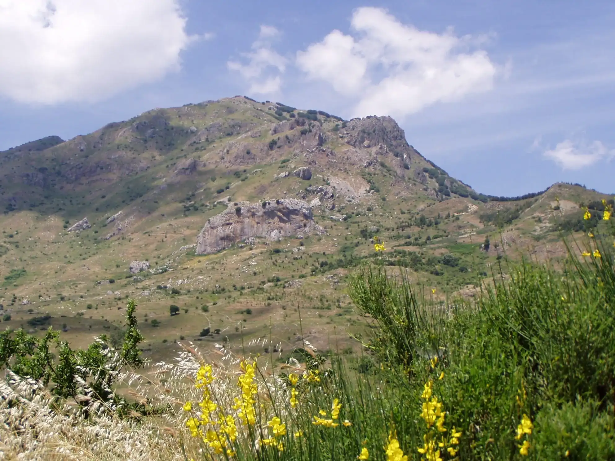
Pizzo Carbonara, 1,979 m. CAI loop 551 starts at Piano Battaglia. CAI Sicilia gives about 380 metres of ascent, 8 km and 4 to 5 hours, grade E. From the Battaglietta you climb via the Selletta Zottafonda and Valle Chiusa, reach the top over easy rocks and come down by the Pizzo Scalonazzo path. Full details on the Pizzo Carbonara page.
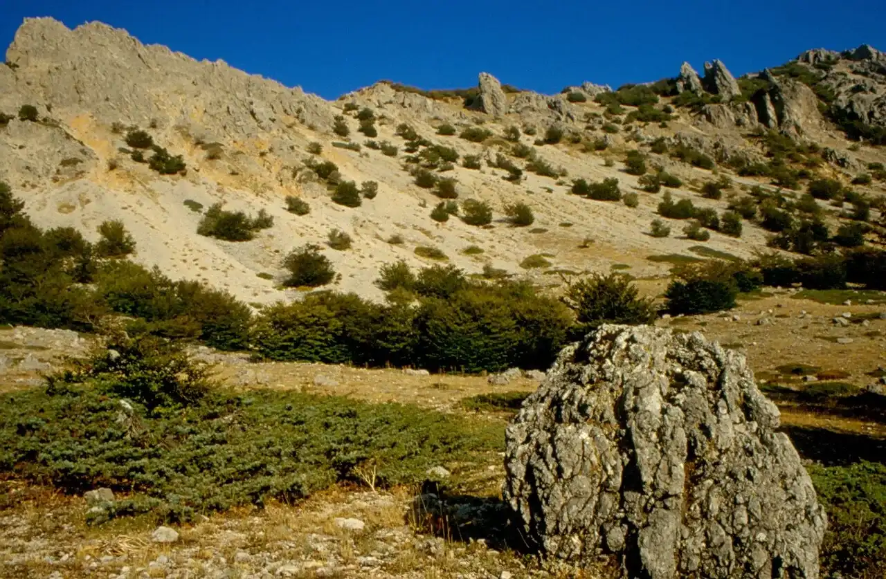
Monte San Salvatore, 1,912 m. The Park Authority describes three routes: from Piano Noce on the road to Portella Colla, from contrada Pomieri through the beech wood of Punta dell’Inferno, and from Petralia Sottana. The Sentiero della Pace climbs from Petralia Sottana for about 8.9 km. The ascent from Portella Colla is on the Monte San Salvatore page.
Madonna dell’Alto, over 1,800 m. Trail 553 starts from the hamlet of Nociazzi, near Castellana Sicula, and climbs for about 5.2 km among beeches, orchids and milk-vetch cushions to the sanctuary. The church probably dates from the 13th century and holds a statue attributed to Domenico Gagini. On 14 and 15 August the feast is celebrated with a torchlight procession.
Monte Quacella, 1,869 m. A climb for experienced hikers, on steep slopes and scree. See the Monte Quacella page.
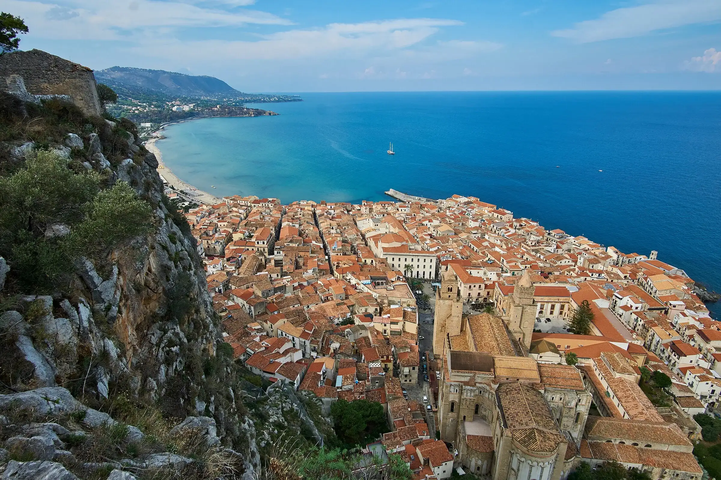
Rocca di Cefalù, 268 m. The shortest climb, suitable for children too. You start in the old town, climb paved steps and reach the Temple of Diana. See the Rocca di Cefalù page.
The Park Authority recommends spring and autumn for hiking and advises against crossing the high Madonie in winter. From late May to June the rocky high ground flowers, with orchids, peonies and wild roses.
Weather at altitude changes fast. On the Carbonara plateau the tourist district advises setting off only in excellent visibility, because the path is not always visible. Carry water: the Park Authority reminds visitors that outside tourist areas there are no water points or refreshments.
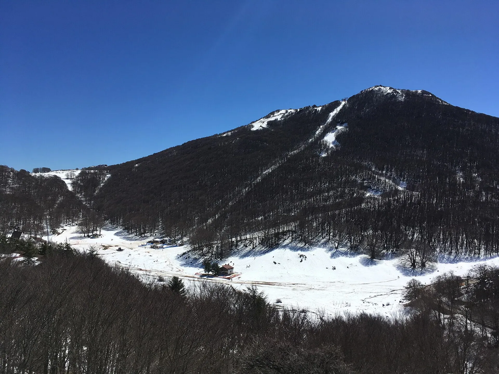
In winter snow covers the peaks for weeks. With snow you need crampons or snowshoes and experience: information and winter routes are in the snow section. Before setting off, check the weather on Pizzo Carbonara and read our guide to the CAI scale and mountain safety.
The main peaks, from Pizzo Carbonara to Monte dei Cervi, are in zone A, the Park’s strict nature reserve. Here it is forbidden to pick plants, light fires, camp and disturb animals.
Some slopes hold golden eagle nests. The stretch of trail 565 at the foot of Pizzo Canna is closed from 1 February to 30 July, and from May to October the Sentiero Italia between Scillato and Piano Zucchi follows a variant. Respect the closures even if the path looks clear.
From the peaks you can see Etna, the Aeolian Islands and half of Sicily: the best spots are in the guide to Madonie viewpoints. For the plateaus where the trails start, see the guide to the plateaus.
Updated on 19 October 2026
 Hiking trail
Piano Battaglia · Loop
 Hiking trail
Piano Noce, SP119 · Out and back
 For experienced hikers
Polizzi Generosa · Out and back
 Easy walk
Cefalù · Out and back
 Hiking trail
Contrada Quacella, SP119 · Loop
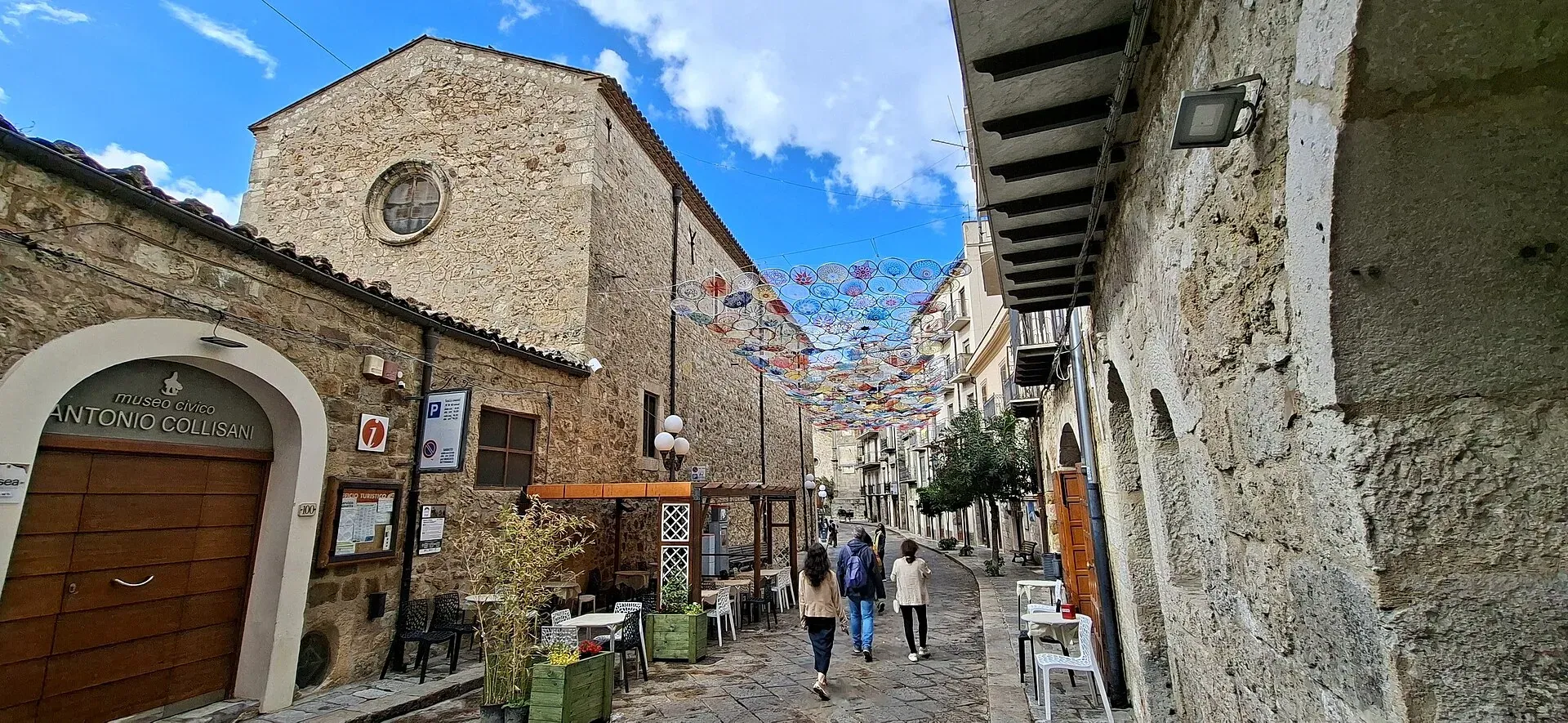
1,039 m a.s.l.
Home of the Madonie Park, at the foot of Piano Battaglia
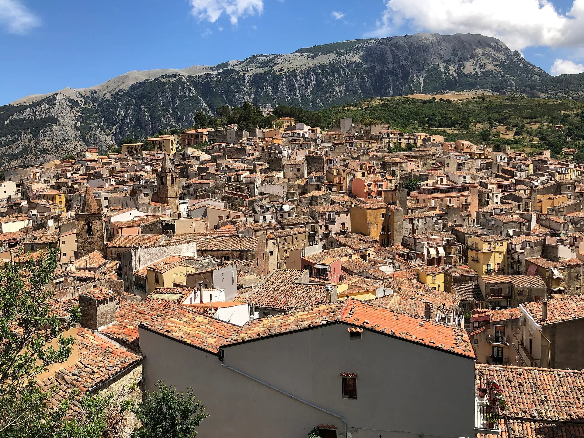
583 m a.s.l.
The town of the stars, beneath the Madonie cliffs
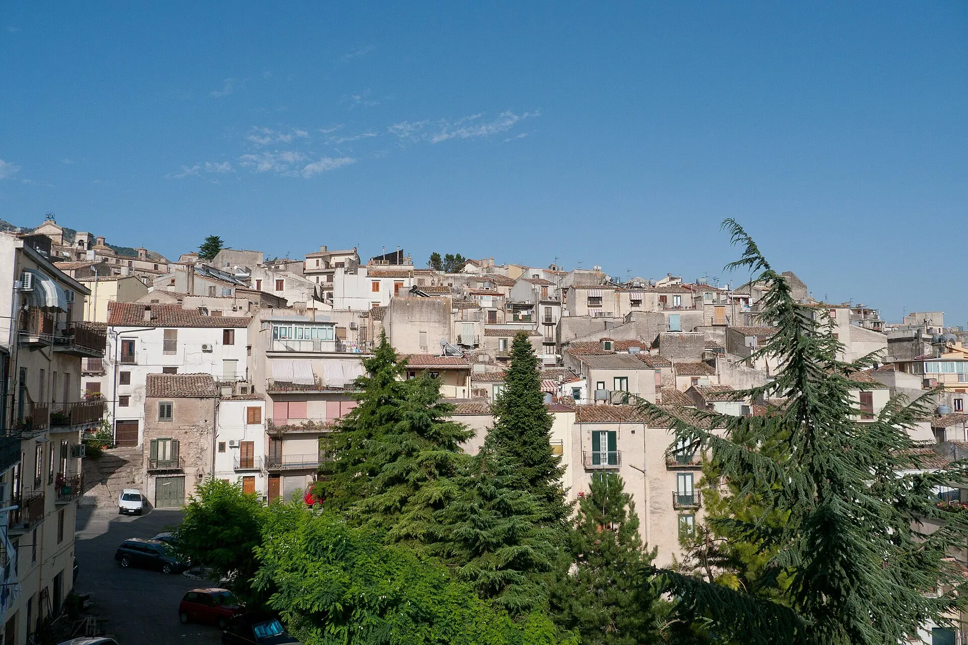
920 m a.s.l.
The town of the Abies nebrodensis, sfoglio and badda beans
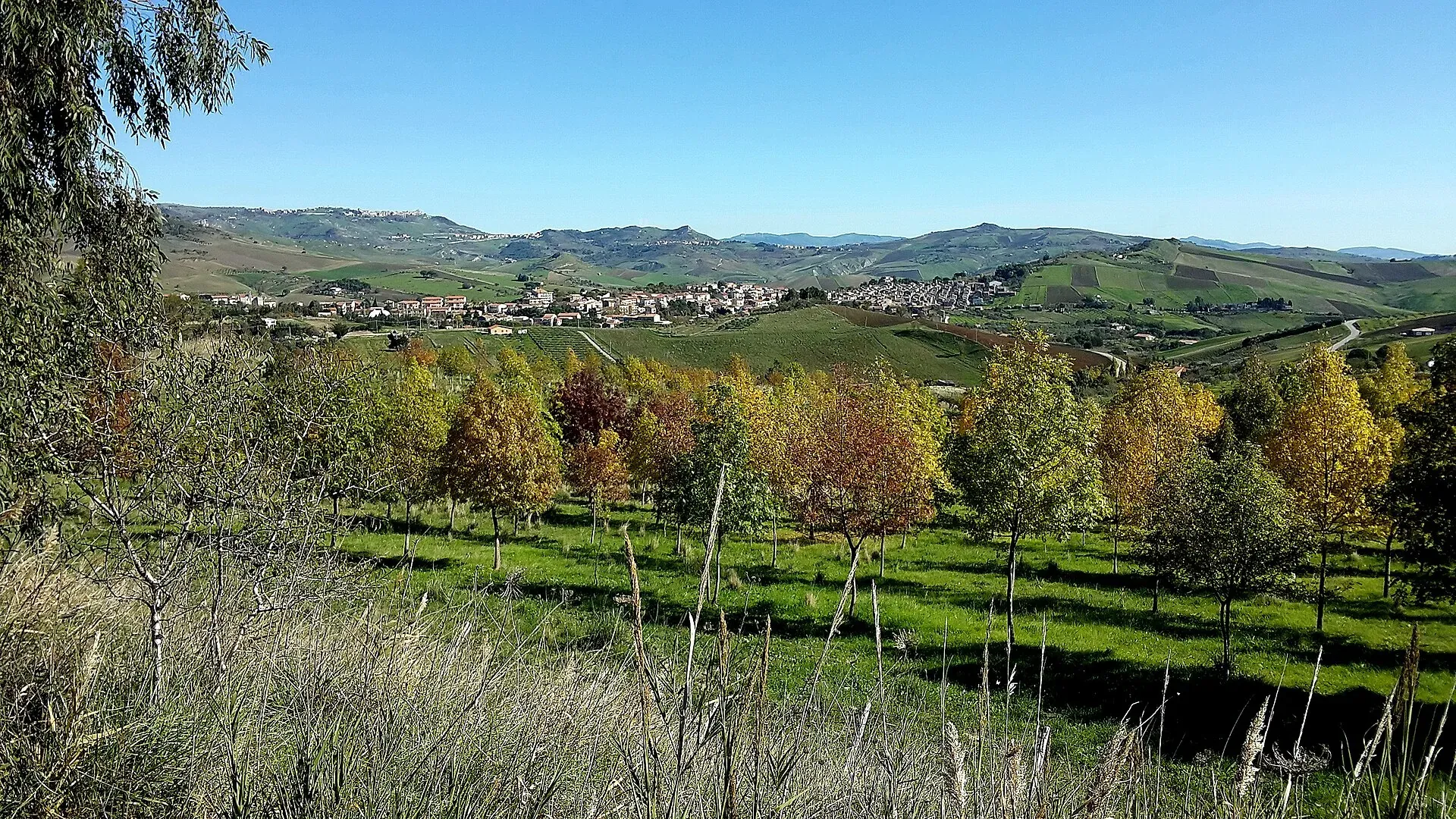
774 m a.s.l.
The village of hamlets and murals
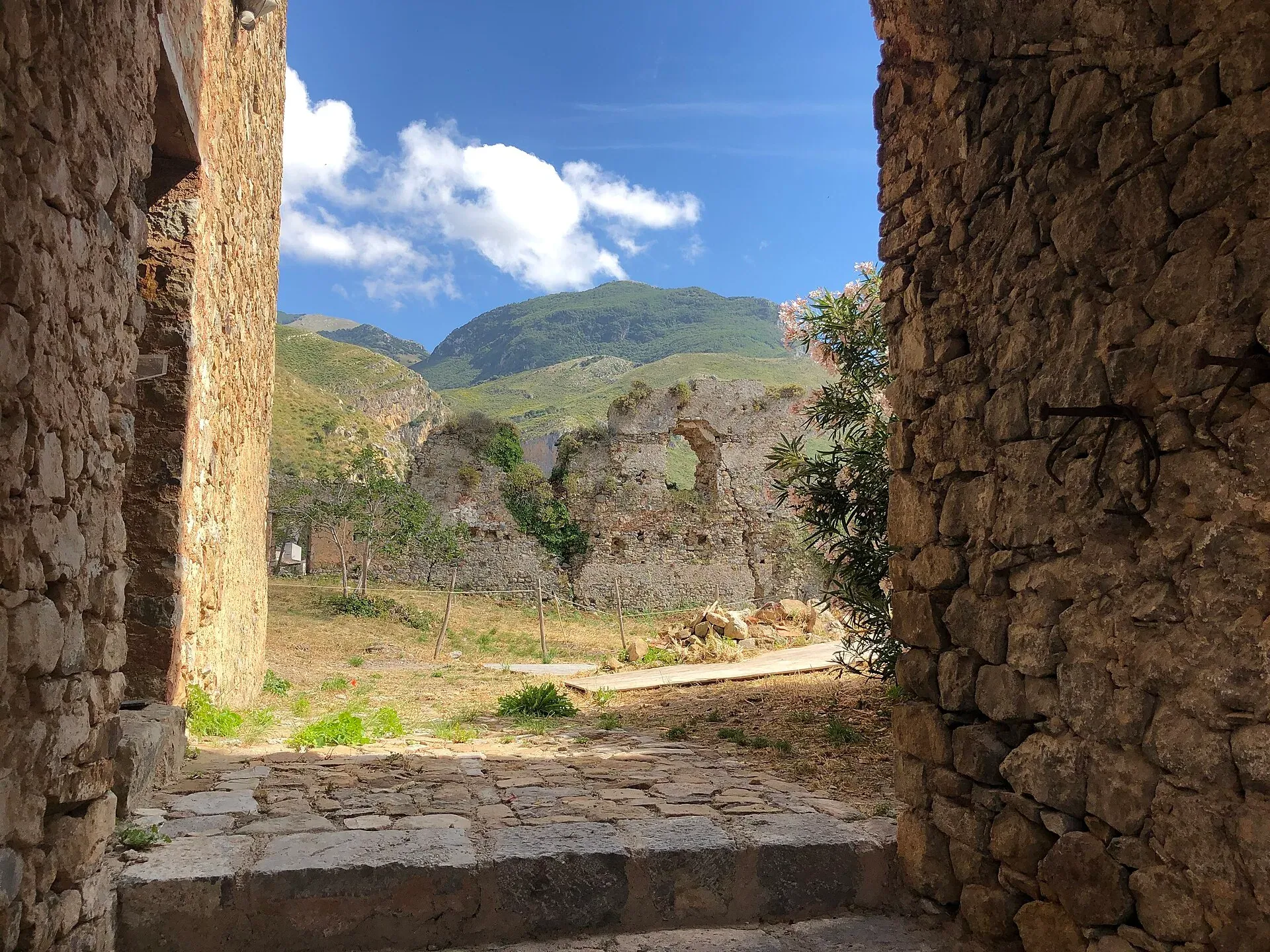
470 m a.s.l.
Ceramics, a castle and the Targa Florio museum
680 m a.s.l.
The terrace over the Tyrrhenian Sea above Cefalù
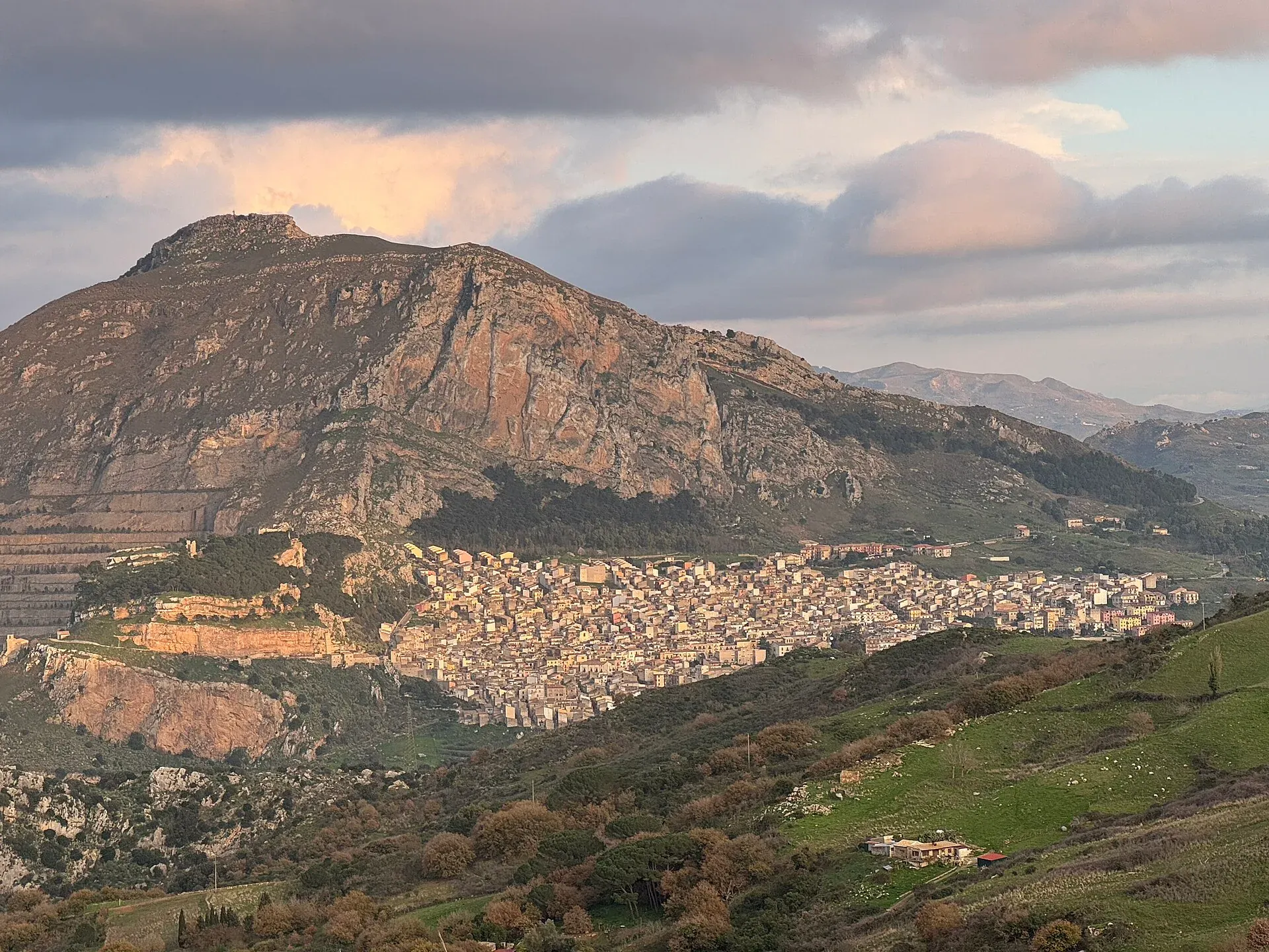
631 m a.s.l.
The village below the Rocca di Sciara
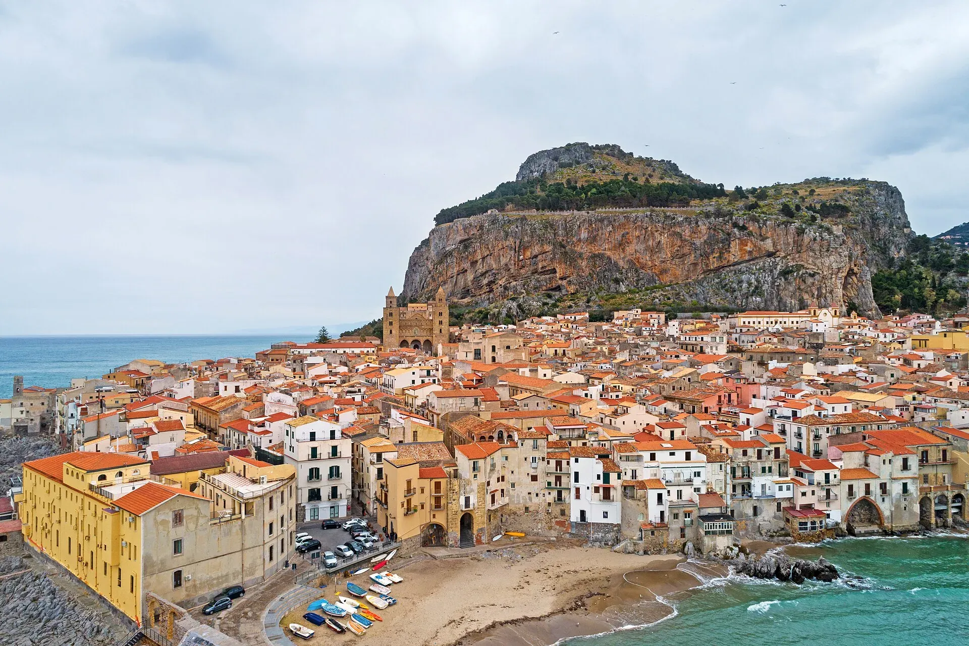
16 m a.s.l.
The Norman cathedral, the Rocca and the sea at the foot of the Madonie
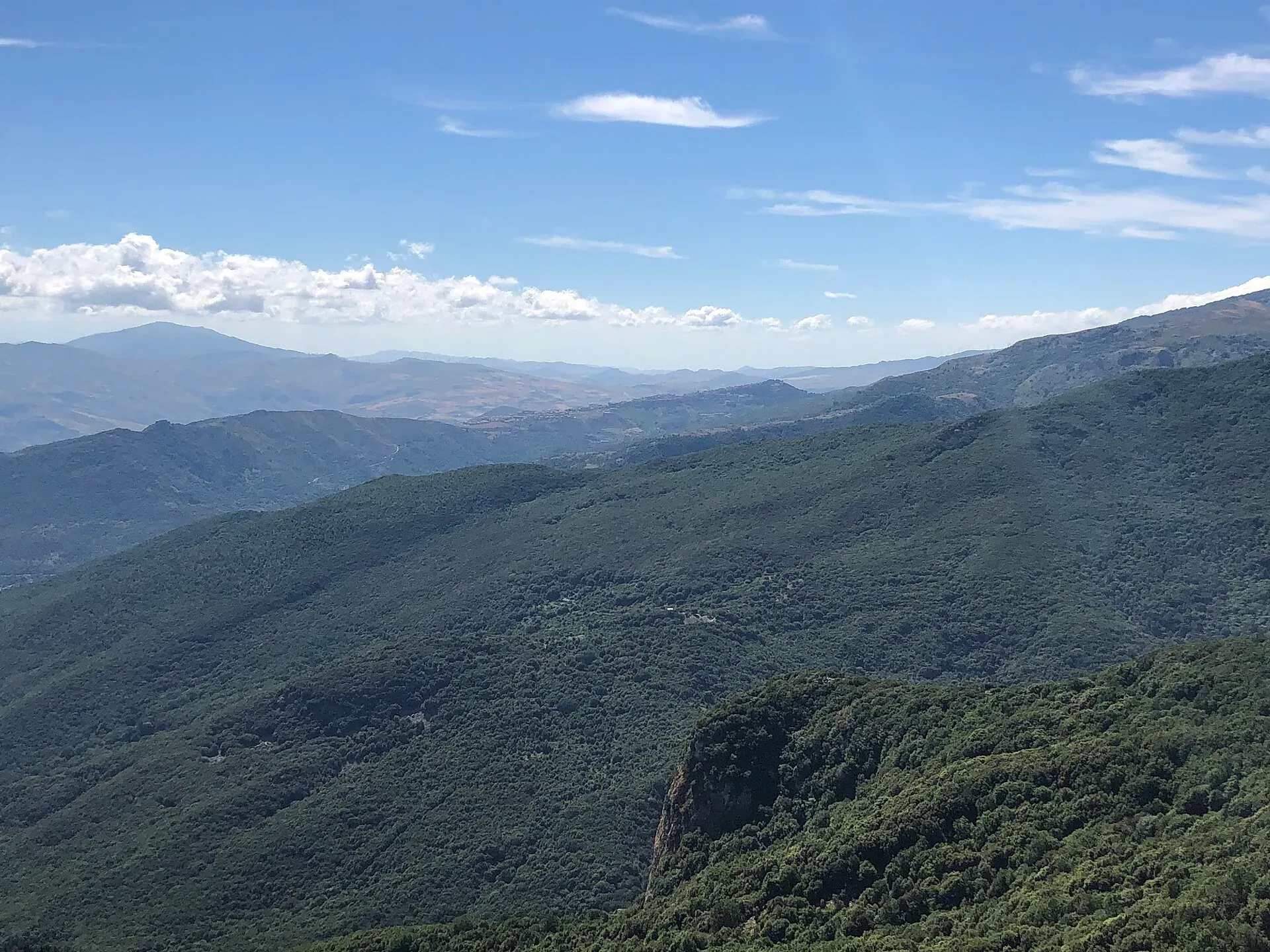
Nature
The best viewpoints in the Madonie: Pizzo Carbonara, Madonna dell'Alto, Monte San Salvatore, Pollina and the SP54 lookouts. Where to see Etna and the Aeolians.
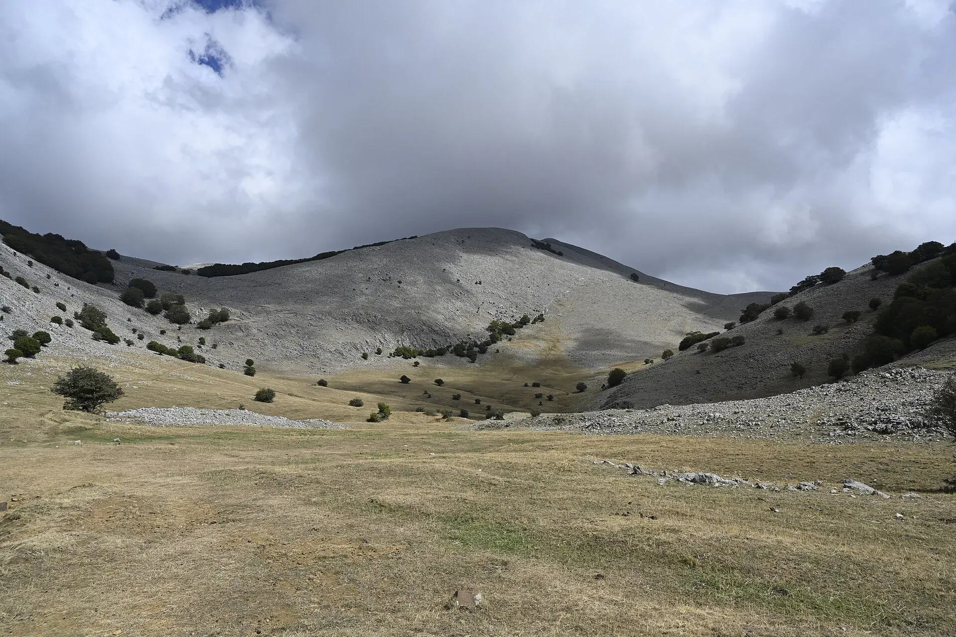
Nature
The plateaus of the Madonie: Piano Battaglia at 1,572 m, Piano Zucchi, Piano Sempria, Piano Cervi, Piano Pomo and Piano Catarineci. Heights, access, what to do.
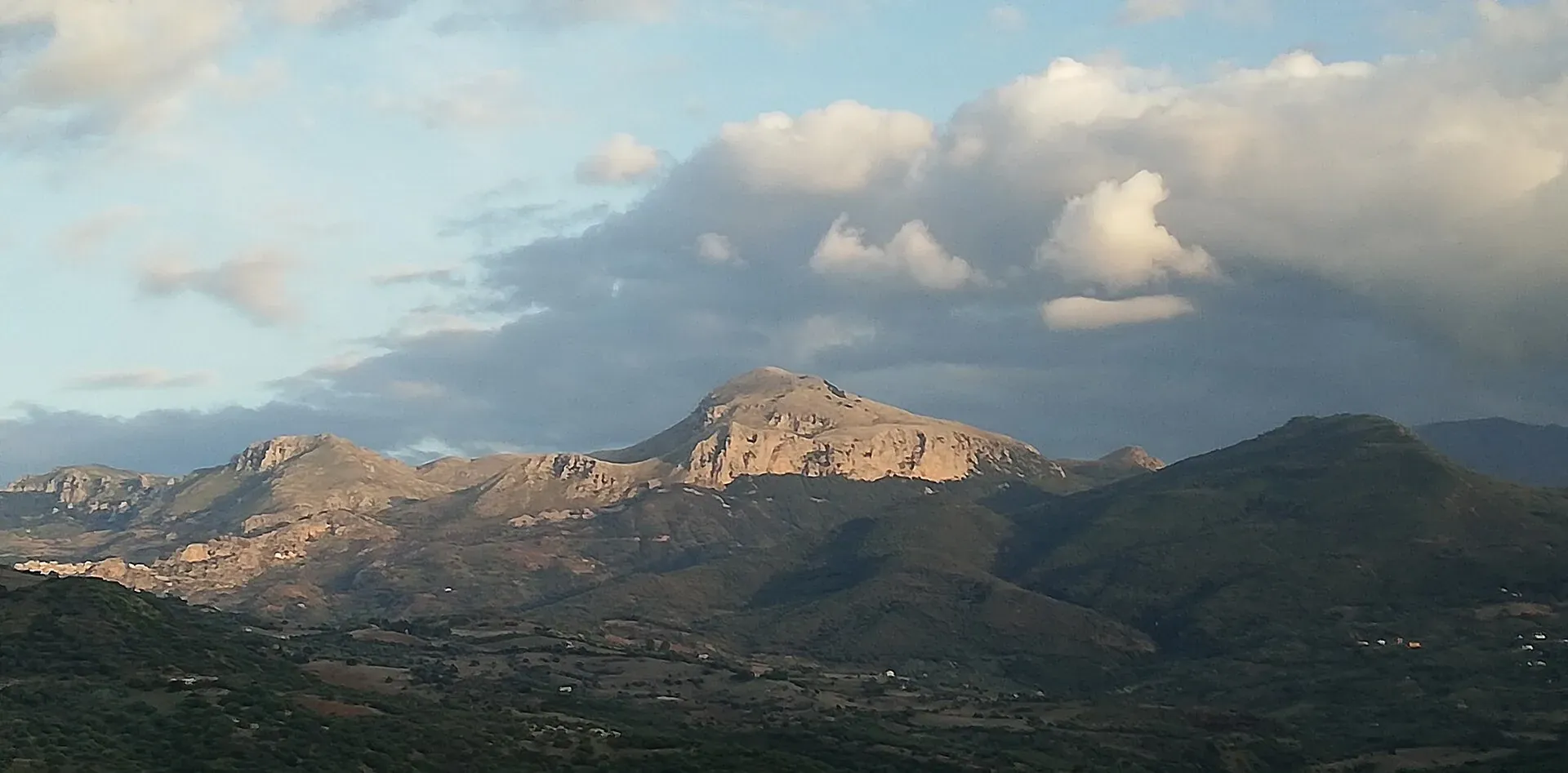
Nature
Madonie UNESCO Global Geopark: a geopark since 2001, UNESCO since 2015, 70 geosites and 220 million years of history. What to see, geological trails, museums.
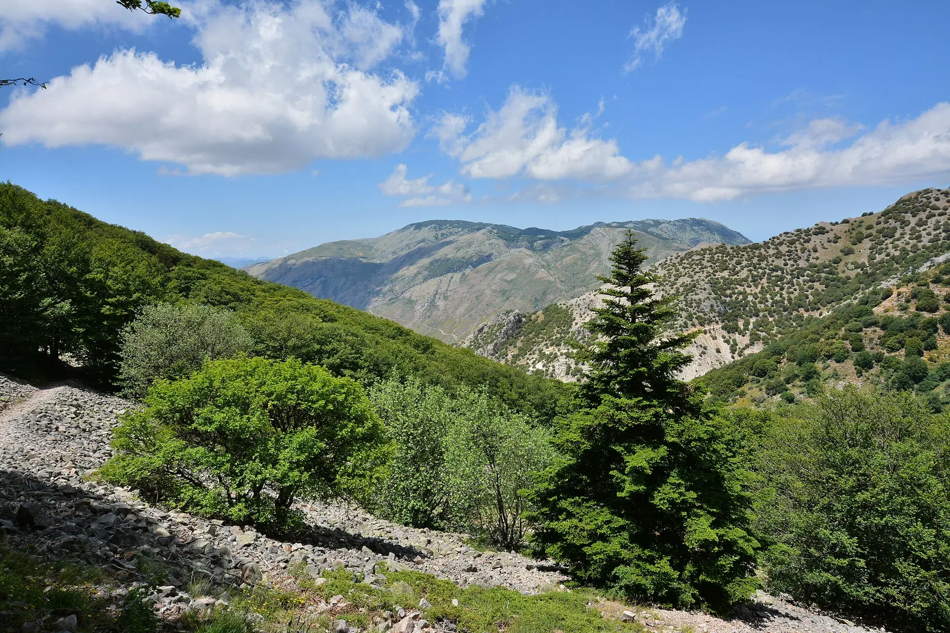
Nature
Abies nebrodensis: about 30 adult trees in the wild, all near Polizzi Generosa. What it looks like, why it may vanish, how it is protected, where to see it.
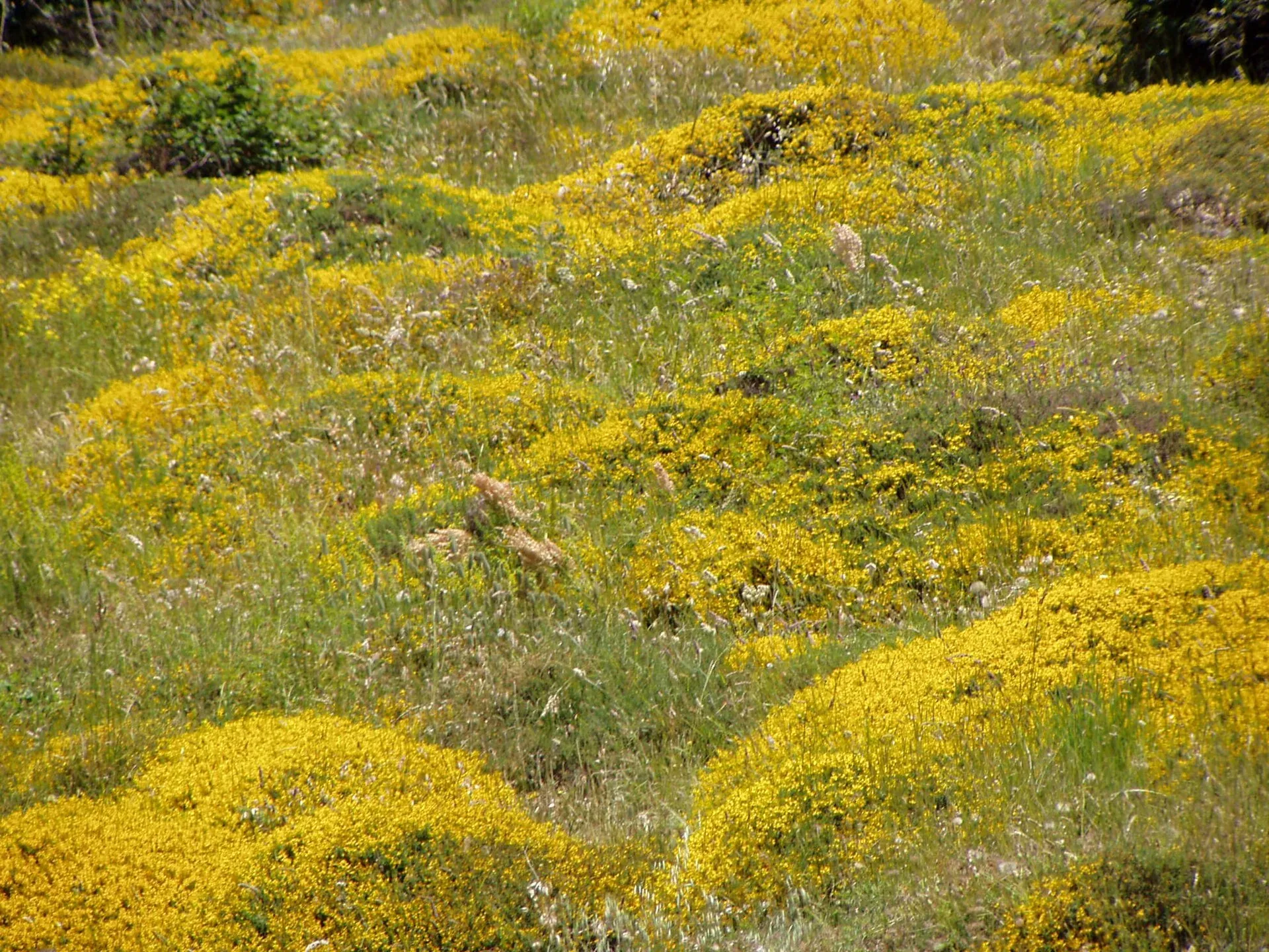
Nature
Madonie flora: about 1,500 species and 170 endemics, over half of Sicily's plants. Endemic plants, orchids, peonies, where to see them and when they flower.
Nature
Madonie Park (Parco delle Madonie): 39,679 hectares and 15 towns between Cefalù and the Petralias, founded in 1989. Zones, rules, sights and how to get there.
Travel info
Things to do