Food
Travel info
What T, E, EE, EEA and EAI mean on the CAI scale, how to read trail markings, what to bring and who to call in an emergency on Madonie trails.
The Italian Alpine Club (CAI) grades trails as T (tourist), E (hiking), EE (for experienced hikers) and EEA (via ferrata), plus EAI for snowshoe routes. This is the classification the CAI approved on 20 November 2021. In the Madonie almost all the trails on our pages are E. In an emergency call 112.
At a glance
| Grade | Name | Example in the Madonie |
|---|---|---|
| T | tourist | Rocca di Cefalù |
| E | hiking | Pizzo Carbonara, Bosco di Castelbuono |
| EE | experienced hikers | Monte Quacella |
| EEA | via ferrata | none on this site |
| EAI | snow-covered terrain | snowshoe routes at Piano Battaglia |
The examples come from our trail pages: the Rocca di Cefalù is T, Pizzo Carbonara and the Bosco di Castelbuono are E, Monte Quacella is EE. All trails are under Trails and walks.
For the CAI these are routes on cart tracks, mule tracks or obvious paths, with no doubts about direction, gentle gradients and modest height gain. You need basic hiking knowledge and some walking fitness. Suitable clothing and shoes are still required.
In the Madonie the climb to the Rocca di Cefalù is T, on steps and paved path between medieval walls.
This is the most common category. For the CAI these are mule tracks, paths and sometimes faint tracks over varied ground: pasture, woodland floor, debris, scree. They are usually waymarked, may have steep sections and easy, non-exposed passages on rock where you use your hands for balance. They may cross flat stretches of lingering snow.
You need a sense of direction, hiking experience and fitness, with particular attention to footwear.
E does not mean easy for everyone. The Pizzo Carbonara loop is E, but according to our trail page it is about 7 km in 2 hours 30 without stops, on a karst plateau where landmarks disappear in fog.
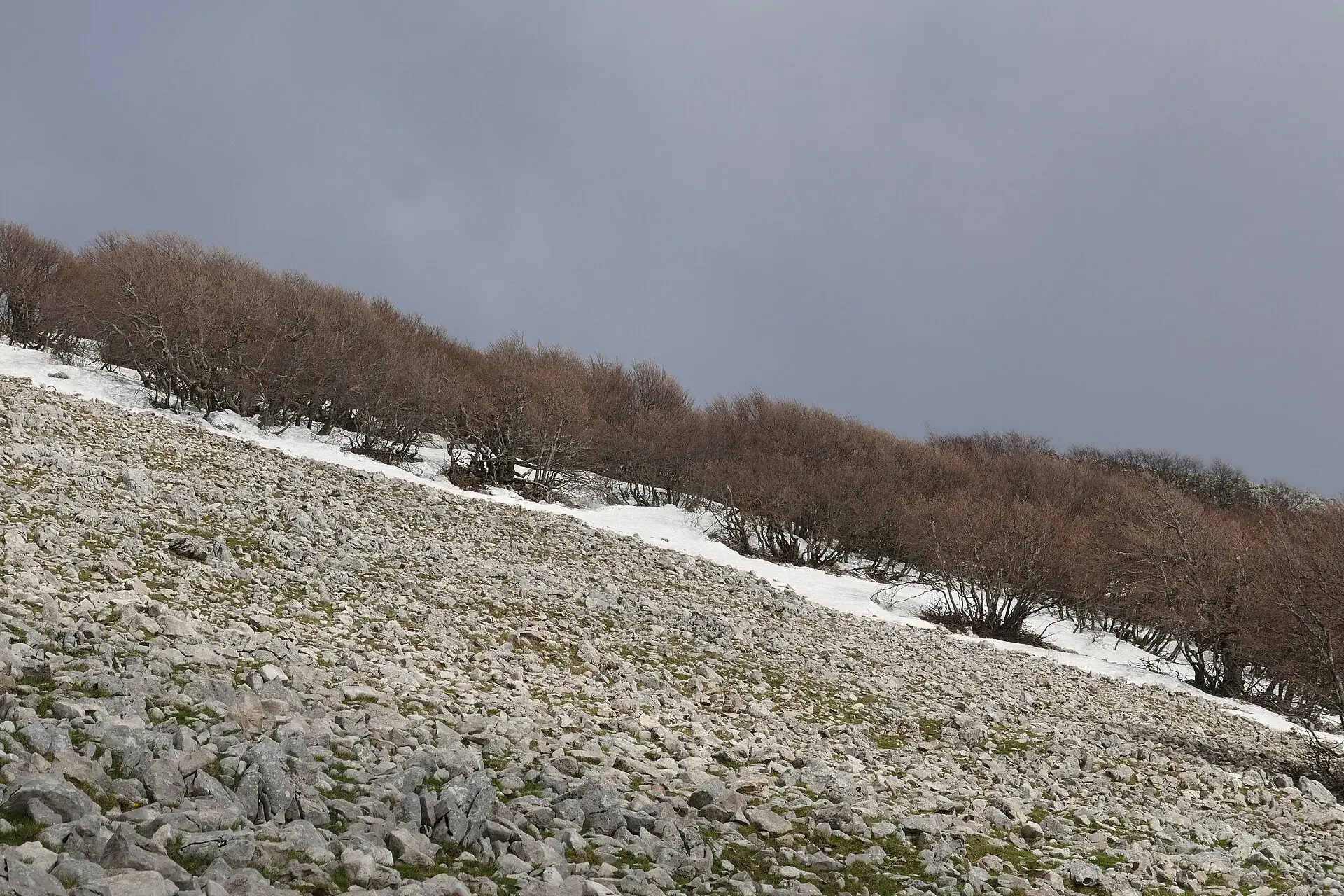
The CAI describes routes that are almost always waymarked but cross rough or treacherous ground: steep or slippery slopes of grass, small rocks, often unstable debris. They may have exposed sections, traverses, ledges and rock passages with slight technical difficulty. Proper via ferrata routes are excluded.
You need excellent experience, route-finding skills, a sure foot, no fear of heights and good fitness.
In the Madonie Monte Quacella is EE: steep slopes and scree, with a path that is hard to see in places. In fog or on wet ground choose another walk.
These are routes with rock sections fitted with cables, chains, ladders and rungs. They require certified protective equipment (harness, via ferrata set, helmet) and adequate technical skills.
The CAI splits them into five grades: F (easy), PD (moderately difficult), D (difficult), MD (very difficult) and ED (extremely difficult). None of the trails we have published in the Madonie is a via ferrata.
This is the grade for snowshoe outings, on slopes up to 25 degrees. The CAI divides it into three levels:
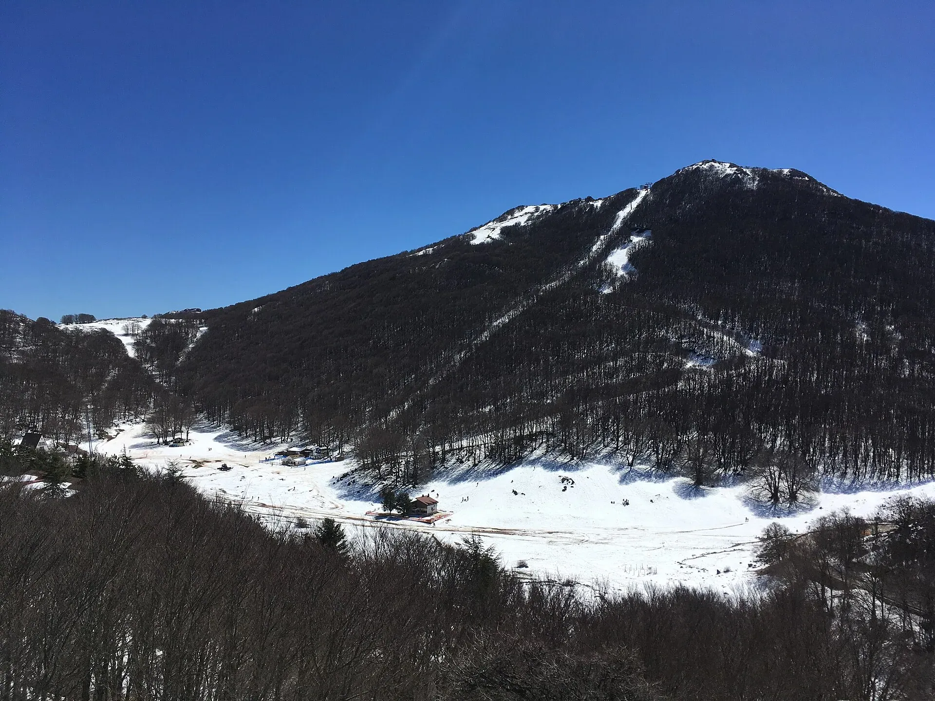
In winter the Madonie also have an avalanche bulletin: Meteomont covers the Sicilian mountains and comes out every day at 2 pm. For snow at Piano Battaglia read our guide to Piano Battaglia in winter and our page on safety on snow.
The CAI says it plainly: grading difficulty by objective criteria is impossible, because everyone perceives it through their own experience. The grade is about the terrain. It does not take into account the weather, the time you set off or how fit you feel that day.
A real case. On 2 September 2023 a group left their campervans at the Battaglietta and in the late afternoon climbed Pizzo Carbonara, planning to come down in the dark. On the descent, on a steep off-trail section, a 65-year-old hiker fell and suffered a head injury. He was recovered by the Madonie team of the mountain rescue (BlogSicilia).
The trail was an E. The difficulty came from the timing and from leaving the path.
According to the CAI handbook on trail signage, there are two kinds of signs:
CAI trails have a three-digit number: the first digit is the sector, the other two the trail. The Pizzo Carbonara loop, for example, is marked as 551 on OpenStreetMap, with the CAI section of Petralia Sottana as maintainer.
If you find the sign “Sentiero per escursionisti esperti” (trail for experienced hikers) at the start, the route has mountaineering features: exposed, partly equipped, or very long in wild terrain.
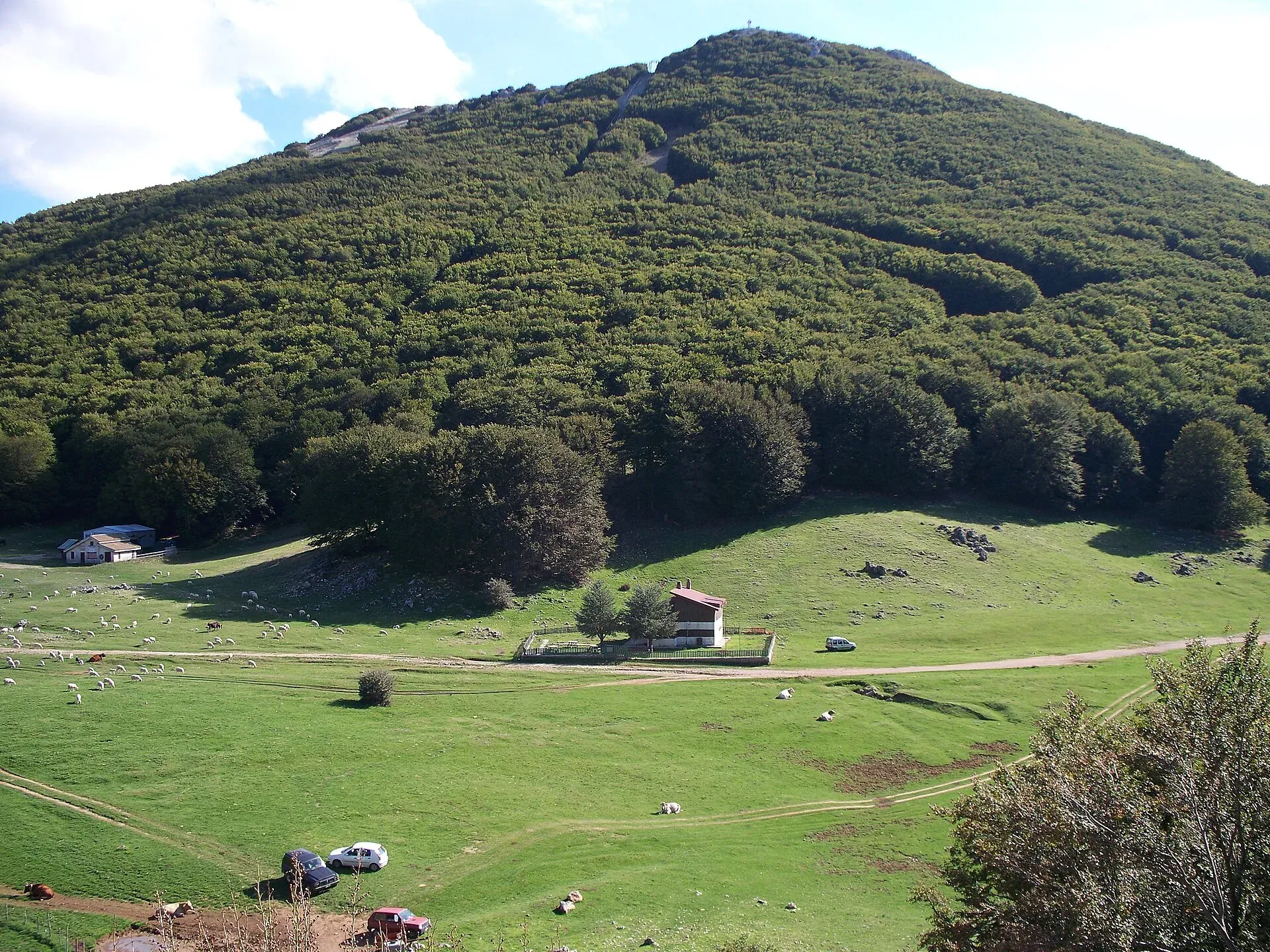
The Madonie almost reach 2,000 metres: Pizzo Carbonara is 1,979, Pizzo Antenna Grande 1,977, Monte San Salvatore 1,912 (Ente Parco delle Madonie). These are the risks that matter most here.
The park recommends closed, comfortable hiking shoes: no heels, wedges, flip-flops or beach sandals. For the rest, this is our minimum list for an E trail:
Before you go, check the mountain forecast and tell someone where you are going.
The European emergency number 112 is active in Sicily. The control centre for western Sicily, which answers for the provinces of Palermo, Trapani and Agrigento, opened on 21 May 2019 (Regional School Office for Sicily).
For an accident on a trail, call 112 and say you need medical rescue in a mountain or rough environment. The operator follows the procedure for mountain areas and passes the call to the 118 control centre, which alerts the National Alpine and Cave Rescue Corps (CNSAS). This is the procedure given by the Sicilian Alpine and Cave Rescue.
The CNSAS and the CAI also offer GeoResQ, a free app that sends an alarm to the mountain rescue with your position and route.
An example of how a rescue goes in the Madonie. In May 2024 a 63-year-old hiker coming down from Pizzo Carbonara broke an ankle near Pizzo Scalonazzo. Two companions walked down to the Rifugio Marini and called the mountain rescue from there, which sent two teams from Petralia Sottana. They carried her on a stretcher for about a kilometre to the Piano Battaglia road (BlogSicilia).
In June 2026 the Ente Parco published its list of prohibitions. In the park it is forbidden to:
Many areas of the park, even without fences, are private and may be closed to walkers. To learn about the area before you go there is the Travel info section.
Page updated on 19 October 2026