Piano Sempria · Point to point
Trail 552 from Piano Sempria to Piano Battaglia
CAI trail 552 between Piano Sempria and Piano Battaglia: beech woods, giant chestnuts and the Battaglietta swallow hole. Duration, difficulty, return, tips.
Along the way
- The north-side forest, from giant chestnuts to beech woods
- The Battaglietta sinkhole and its swallow hole, the "zubbiu"
- A centuries-old maple at the edge of the beech wood
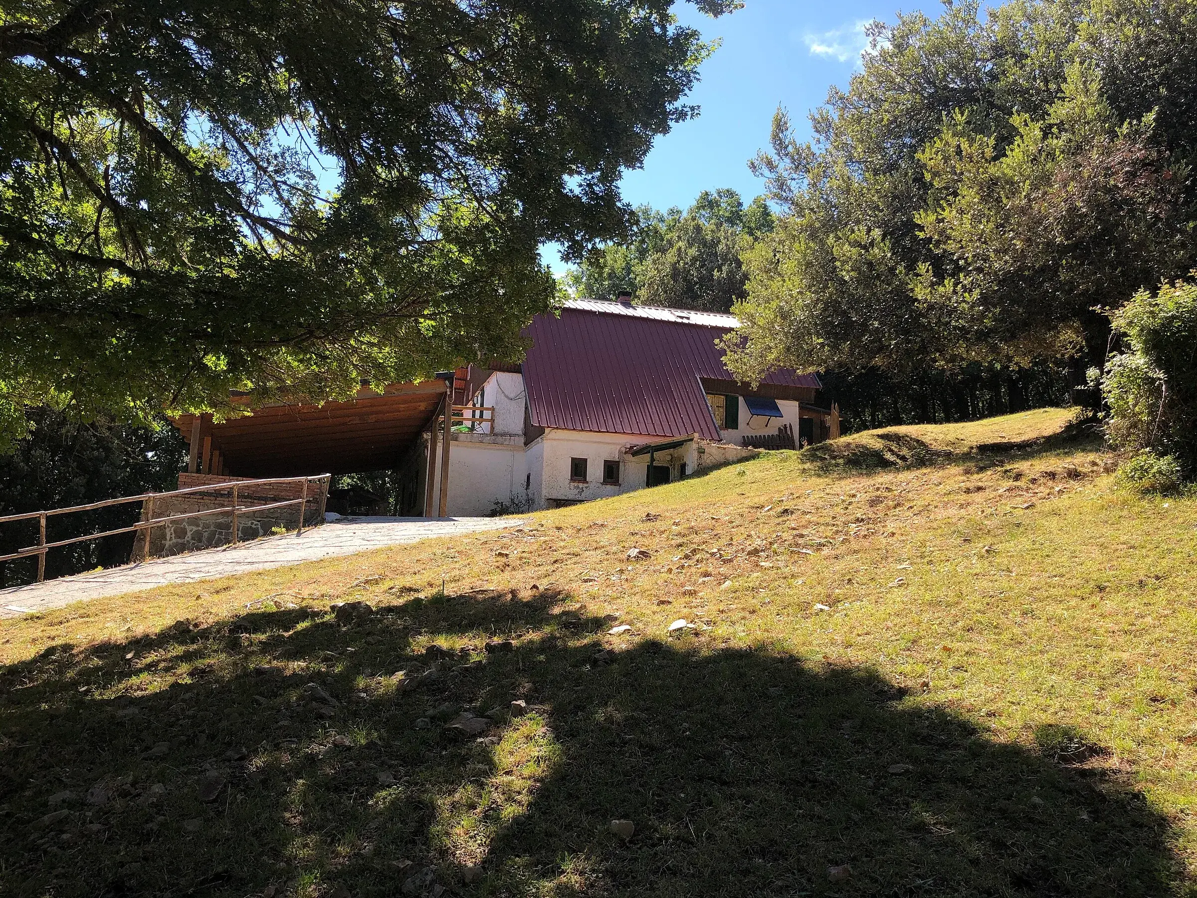
- Piano Sempria and the Rifugio Crispi of the Club Alpino Siciliano
- The walking link between Castelbuono and Piano Battaglia
CAI trail 552 links Piano Sempria, above Castelbuono, to Piano Battaglia, through the forest on the north side of the Madonie and the Battaglietta sinkhole. It is about 8 km: uphill from Piano Sempria, the page calculates about 3 hours 30 minutes of walking without stops. It is a hiking trail, best from spring to autumn.
It is a traverse, so plan your return first. If you walk it downhill, from Piano Battaglia, your day is lighter.
Why walk the 552
Because it is the finest way to pass on foot from Castelbuono’s world to Piano Battaglia’s. In a few hours you cross all the Madonie forests, one after another.
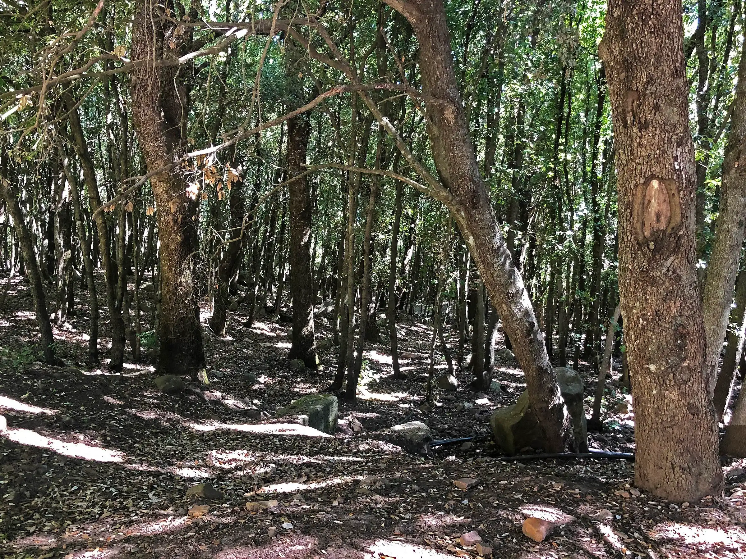
The Cefalù Madonie tourist district lists what you meet as you gain height: impressive holm oaks, giant chestnuts, Turkey oaks, stately sessile oaks. In the undergrowth rockrose, broom, heather, ferns, butcher’s broom and holly. Higher up, the beech wood.
What you see along the way
From Piano Sempria, a clearing at about 1,300 metres dominated by large oaks, maples and beeches, the path climbs into the forest. Next to it stands the Rifugio Crispi of the Club Alpino Siciliano.
The climb continues among beeches, small clearings and small sinkholes up to the entrance of Valle Chiusa. Near the edge of the beech wood the district points out a very fine centuries-old maple.
The last section crosses the large Battaglietta sinkhole. With a short detour you see the swallow hole, called “zubbiu” in the Madonie dialect: a small cave where the water disappears into the limestone. The Park has made it a stop on its geological trail about the karst landforms of Piano Battaglia. Look at it from outside: the Park rules forbid entering natural caves.
Who it is for
The 552 is graded E. There are no technical passages, just a long, steady climb through the forest. It suits people who walk regularly and can follow waymarks at junctions: the trails to Monte Ferro and the Vallone di Zottafonda also start from the Battaglietta.
Downhill, from Piano Battaglia to Piano Sempria, it also suits fit children.
When to go
May to October. In summer the forest is cool even in the hottest hours. October and November are the months of colour, which we cover in our article on beech woods in autumn.
In winter the upper part is often covered in snow. Check the weather at Piano Sempria and at Piano Battaglia before you go.
How to get to the two ends
Piano Sempria. From Castelbuono take the provincial road to San Guglielmo, pass the Eremo di Liccia and follow the municipal road to the Rifugio Crispi, as the Park describes.
Piano Battaglia. You drive up from Petralia Sottana on the SP54 or from Isnello via Piano Zucchi. The trail starts at the Battaglietta locality, at about 1,630 metres, where the ring road car park ends. For road conditions see the page on Madonie roads.
Where to sleep and eat
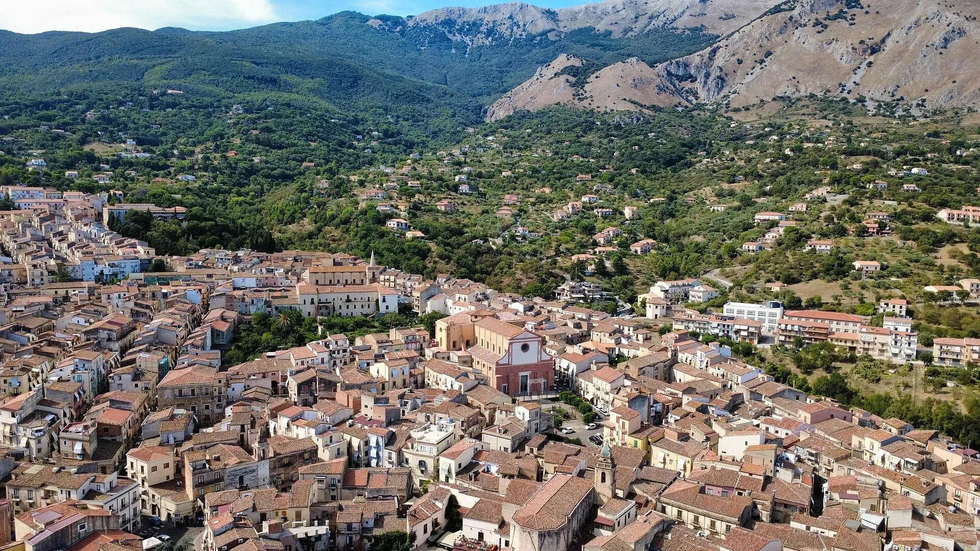
On the Castelbuono side the base is the town: accommodation in where to stay in Castelbuono, restaurants in where to eat in Castelbuono. On the Piano Battaglia side there is the Rifugio Giuliano Marini.
At Piano Sempria there is the Rifugio Crispi: ask the Club Alpino Siciliano whether it is open before counting on it.
Combine it with
- From Piano Sempria a short walk leads to the giant hollies of Piano Pomo.
- From Piano Battaglia starts the loop to Pizzo Carbonara, the highest peak in the Madonie.
- At the end of October Castelbuono holds the Funghi Fest.
Tips
- Carry water for the whole route: do not count on finding any along the path.
- With a weather warning for strong wind or storms, do not enter the forest: the Park forbids it because of the risk of falling branches.
- For track, profile and waymarks there is the technical page on sentierisiciliani.it, in the box alongside.
Weather at the start
Weather in Piano Sempria →14°
Mostly clear
- Today
- 12° / 18°
- Wind
- 12 km/h S
- Snow on ground
- no
- Freezing level
- 3,850 m
- Tue 2012° 18°
- Wed 2113° 19°
- Thu 2210° 15°
- Fri 2310° 15°
- Sat 2410° 14°
Updated on 20 October at 08:48 · Forecasts Open-Meteo.com (CC BY 4.0)
Frequently asked questions
- How long does trail 552 between Piano Sempria and Piano Battaglia take?
- The track is about 8 km. Uphill, from Piano Sempria to Piano Battaglia, the page calculates about 3 hours 30 minutes of walking without stops, because you gain over 300 metres of height. Downhill, in the opposite direction, you go faster.
- Is trail 552 difficult?
- It is graded E, a hiking trail, in the trail register. You walk on dirt tracks and woodland paths, with no exposed passages. You need some fitness for the steady climb through the beech wood and attention at junctions with other trails.
- Where does the trail start at Piano Battaglia?
- On the Piano Battaglia side the trail starts at the Battaglietta locality, at about 1,630 metres, where the parking area of the ring road ends. On the Castelbuono side it starts at Piano Sempria, near the Rifugio Crispi, at about 1,300 metres.
- How do you get back to the start?
- The 552 is a traverse: you need two cars, one at Piano Sempria and one at Piano Battaglia, or you walk back. By car the road between the two points is long, because you have to drive down towards Castelbuono and back up on the provincial roads.
- Can you do it with children?
- With children used to walking a few hours, it works, especially downhill from Piano Battaglia to Piano Sempria. The track is wide, shaded and without exposed stretches. For small children, choose a short section in the Battaglietta sinkhole and turn back.
- When is the best time for this trail?
- Spring, summer and autumn, as the Cefalù Madonie tourist district suggests. In summer the forest stays cool. In October and November the beeches and chestnuts change colour. In winter the upper part, towards Piano Battaglia, is often under snow.
Sources
- Distretto turistico Cefalù Madonie Himera, sentiero 552 Battaglietta - Piano Sempria
- OpenStreetMap, relazione 14894235 (sentiero CAI 552)
- Ente Parco delle Madonie, Sentiero geologico Inghiottitoio della Battaglietta - Portella Colla
- Ente Parco delle Madonie, Il sentiero degli agrifogli giganti (accesso a Piano Sempria)
- Sentieri Siciliani, sentiero Battaglietta - Piano Sempria
Page updated on 19 October 2026
More trails
You may also like
 Hiking trail
Piano Sempria · Out and back
Bosco di Castelbuono: Piano Sempria and giant hollies
 Hiking trail
Piano Noce, SP119 · Out and back
Monte San Salvatore, the second peak of the Madonie
 Hiking trail
Piano Battaglia · Loop
Pizzo Carbonara from Piano Battaglia
- Distance
- about 7 km
- Time
- about 2 h 30