Travel info
Madonie travel info
Safety in the Madonie: 112 and mountain rescue, 1515 for fires, hospitals, warnings to check, typical risks and what to carry on a hike in the Park.
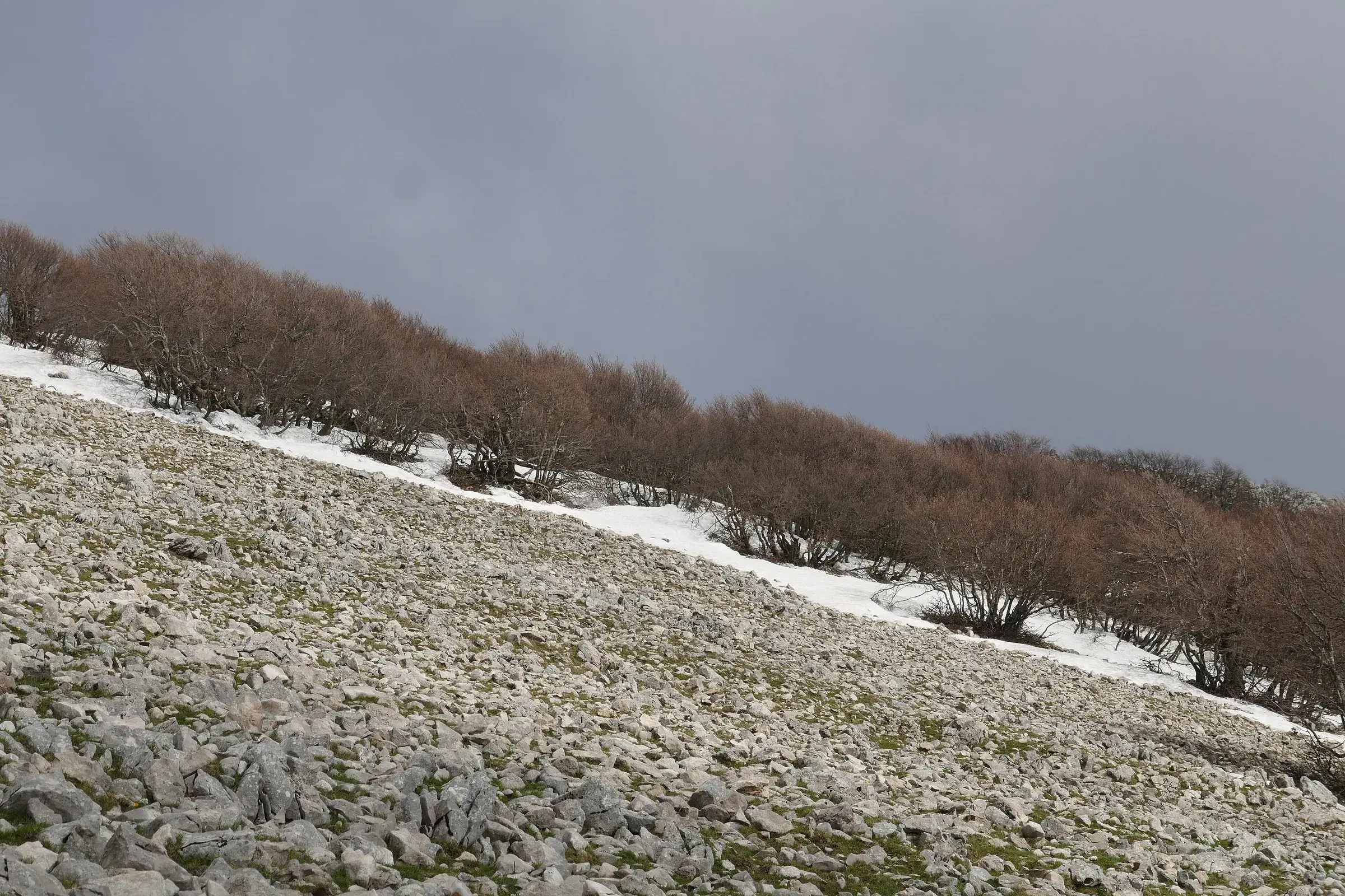
In the Madonie, in an emergency, you call 112: it is free, and for a mountain accident the operator alerts 118 and the Mountain and Cave Rescue service. For a fire or an environmental hazard the number is 1515, the Forestry Corps. Before you set off check the mountain forecast and warnings, carry water and a downloaded map, and tell someone where you are going: that is what prevents most rescues.
At a glance
This table lists the numbers to save on your phone before you leave.
| Number | When to call | Who answers |
|---|---|---|
| 112 | any emergency: accident, illness, missing person, fire, crime | Single emergency number, which routes calls to 118, Mountain Rescue, Fire Brigade, Carabinieri, Police |
| 1515 | forest fire, smoke, environmental damage | Forestry Corps of the Sicilian Region |
| 1518 | traffic, closed roads, road accidents | CCISS Viaggiare Informati |
Sources: Regional School Office for Sicily (112), Sicilian Region (1515), CCISS (1518).
In western Sicily 112 has been active since 21 May 2019: the control room covers the provinces of Palermo, Trapani and Agrigento.
The 112 operator passes the call to the 118 control room, which sends the National Alpine and Cave Rescue Corps. In Sicily the CNSAS operates as Soccorso Alpino e Speleologico Siciliano; in the Madonie a team based in Petralia Sottana also responds, as in the rescue of two hikers lost near Monte Cervi in July 2026 (MeteoWeb).
GeoResQ is the free app from CNSAS and CAI that sends an alert to Mountain Rescue with your position and route. Install it before you leave and try registering at home, not on the trail.
There are two hospitals close to the Park towns:
The Giglio has an emergency department (Quotidiano di Ragusa, 2022). In an emergency, though, do not get in the car: call 112, which chooses the vehicle and the hospital.
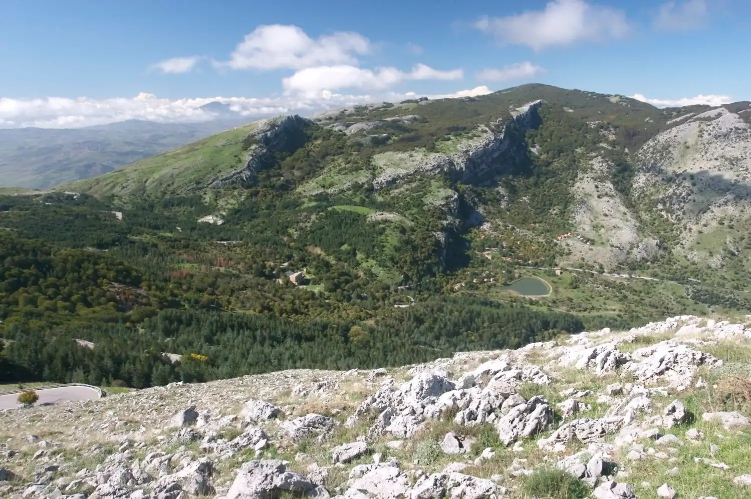
The Madonie reach almost 2,000 metres, with Pizzo Carbonara at 1,979. They are not the Alps, but the risks are real.
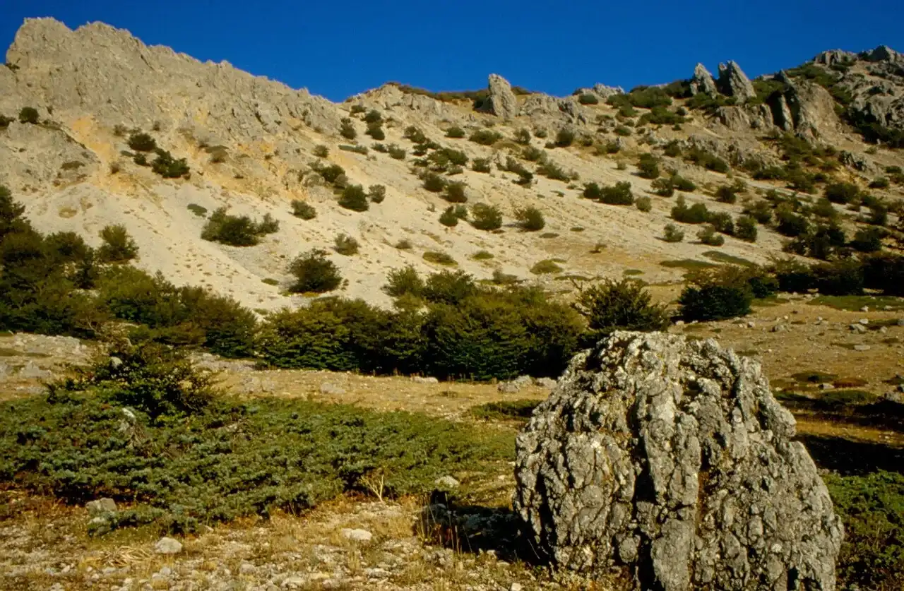
On the karst plateaus, such as the one on Pizzo Carbonara, fog rolls in fast and landmarks vanish. In poor visibility, go back along the track you came on. The Pizzo Carbonara page describes the route.
In summer, outside the woods, the sun is strong even at altitude. Outside the tourist areas the Park has no water points or refreshments: carry at least two litres per person for a half-day hike and start early.
According to the Sicilian Region, 98% of fires are caused by people, deliberately or by accident. Lighting fires in the Park is forbidden. If you see smoke, call 1515 without waiting for the fire to grow and move away from the direction of the wind. When the fire risk is high, skip woodland hikes.
In September 2026 the Ente Parco asked visitors not to linger at the base of the big monumental trees, because dry or heavy branches can fall even without wind; during weather alerts the woods are off limits. Do not stop below rock faces: material can fall (Ente Parco delle Madonie).
The Ente Parco estimates between 1,500 and 3,000 wild suids in the protected area, that is wild boar and crosses with feral pigs. If you meet them, keep your distance and let them move away; the same goes for cows, horses and flocks at pasture.
At altitude the temperature can drop quickly even in spring and autumn. Always carry a warm layer and a windproof jacket.
For an E grade trail, the most common in the Madonie:
Maps and apps for finding your way are in our guide on maps and apps.
In the Madonie Park it is forbidden to light fires, enter unmarked caves, walk through burnt woods and climb over fences. The full list and the rules on dogs, camping, gathering and drones are in our guide to the Madonie Park rules.
Our article on the CAI scale and safety in the Madonie tells of two real rescues on Pizzo Carbonara: an off-trail descent in the dark that ended with a head injury, and a broken ankle near Pizzo Scalonazzo, with the stretcher carried for a kilometre to the road. In both cases the trail was easy; the problems came from the timing and the choices made.
For the more demanding trails, such as Monte Quacella, graded EE, consider a guide. All the routes, with their CAI grade, are in the Trails section.
Updated on 19 October 2026
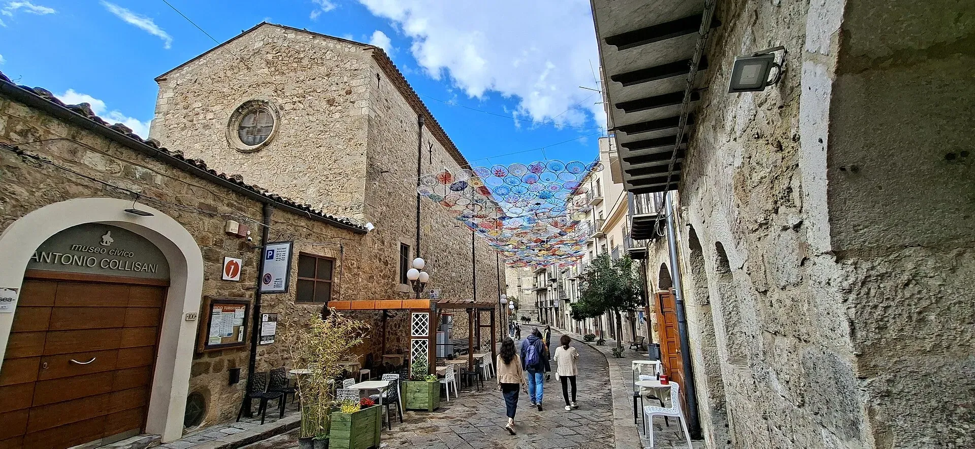
1,039 m a.s.l.
Home of the Madonie Park, at the foot of Piano Battaglia
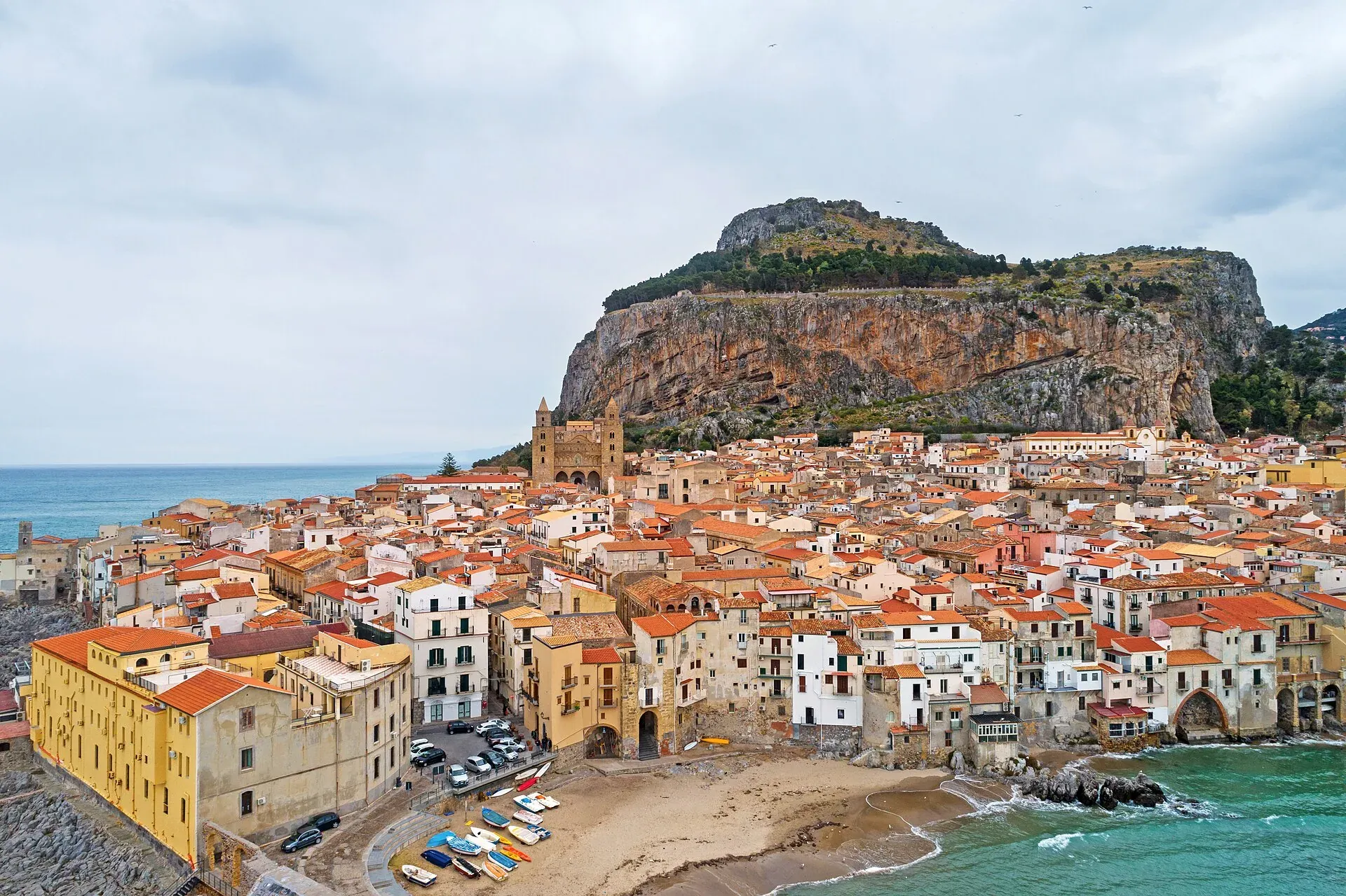
16 m a.s.l.
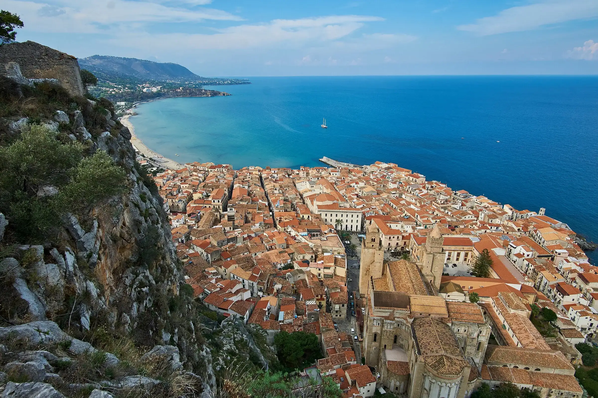
The Norman cathedral, the Rocca and the sea at the foot of the Madonie
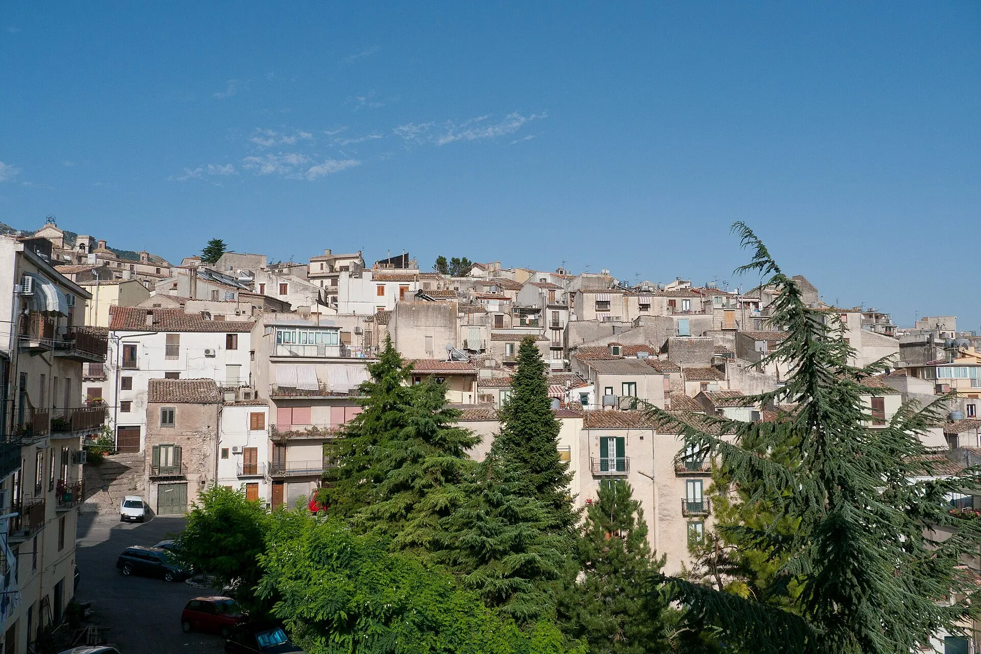
920 m a.s.l.
The town of the Abies nebrodensis, sfoglio and badda beans
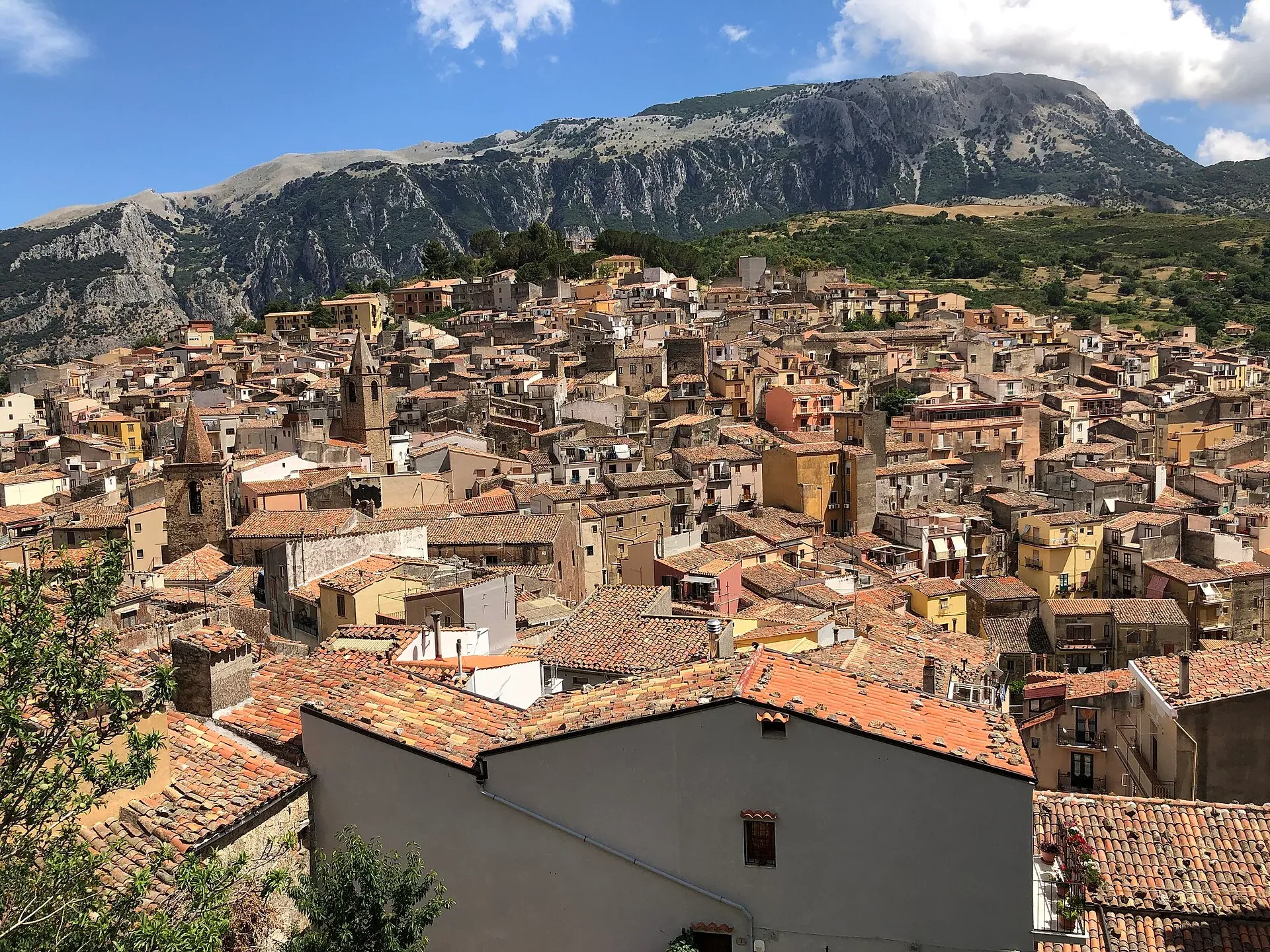
583 m a.s.l.
The town of the stars, beneath the Madonie cliffs
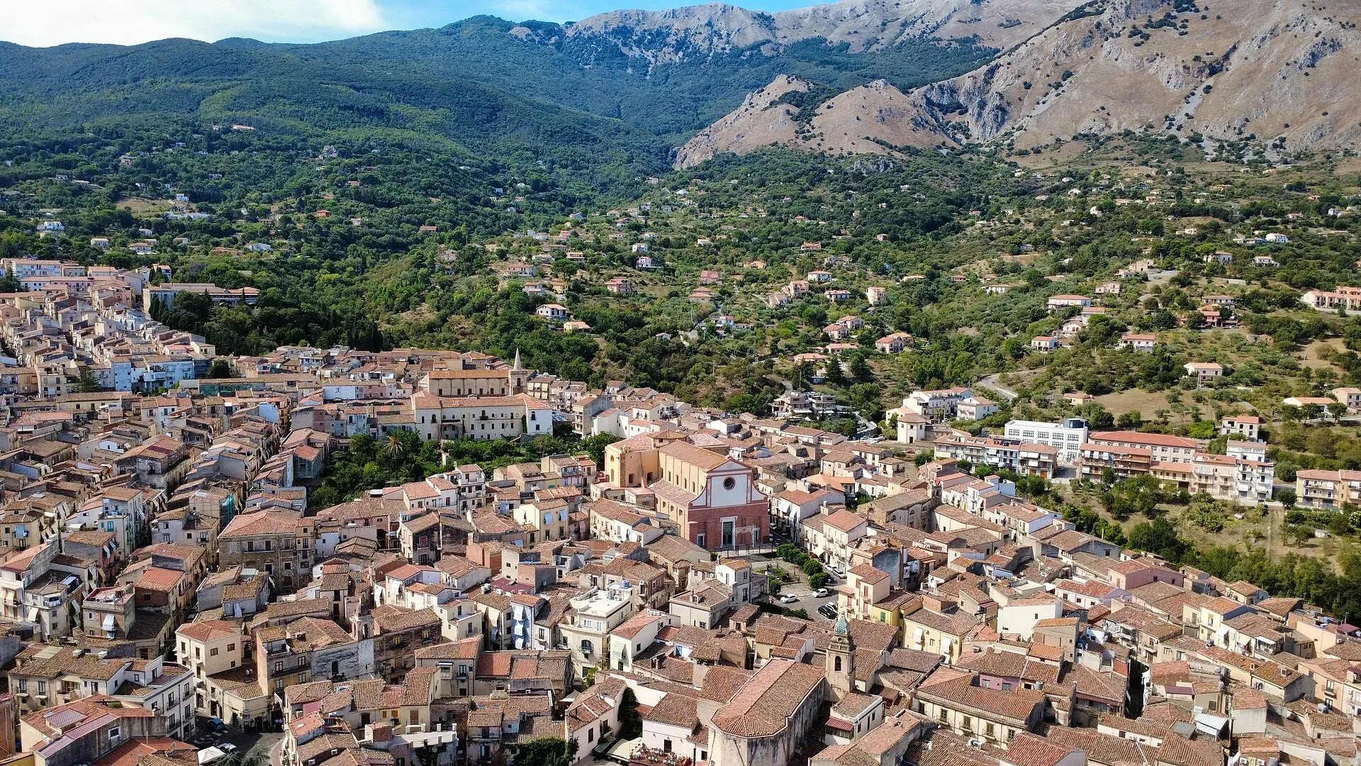
423 m a.s.l.
The town of the Ventimiglia castle, manna and testa di turco
Info
The rules of the Madonie Park: zones A, B, C and D, official bans, camping, fires, mushrooms, dogs, drones and cars, with sources from the Ente Parco.
Info
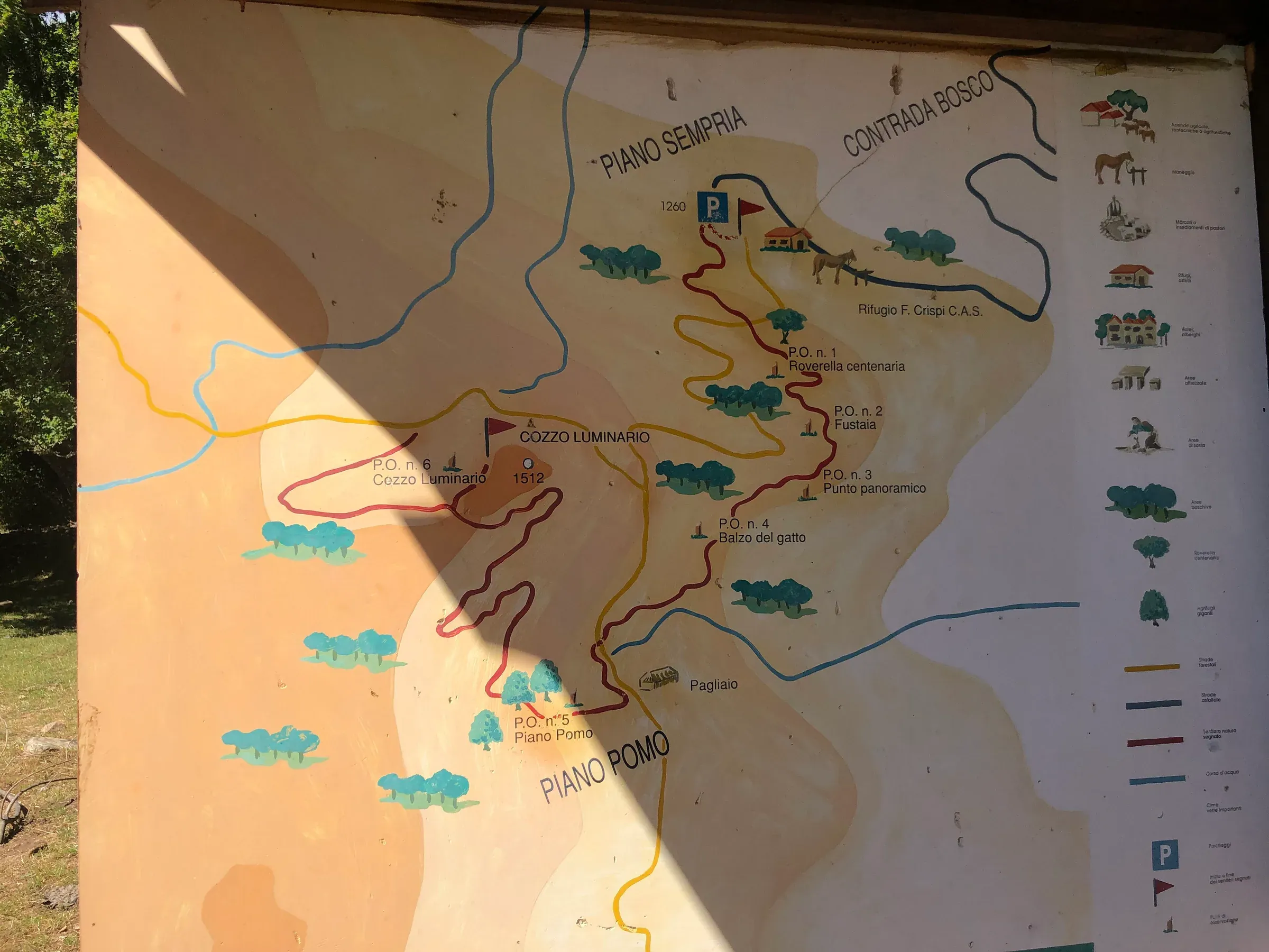
Finding your way in the Madonie: CAI waymarks, the Ente Parco trail map, OpenStreetMap, offline apps, GPX tracks and what to do when there is no signal.
Travel info