Travel info
Nature and landscapes
Madonie Park (Parco delle Madonie): 39,679 hectares and 15 towns between Cefalù and the Petralias, founded in 1989. Zones, rules, sights and how to get there.
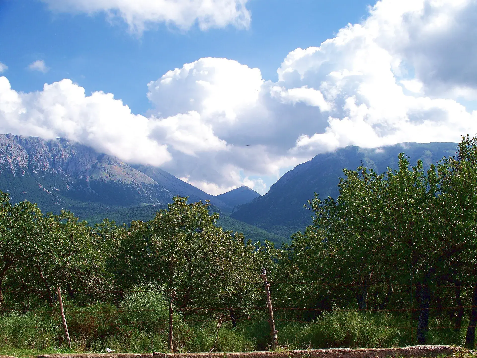
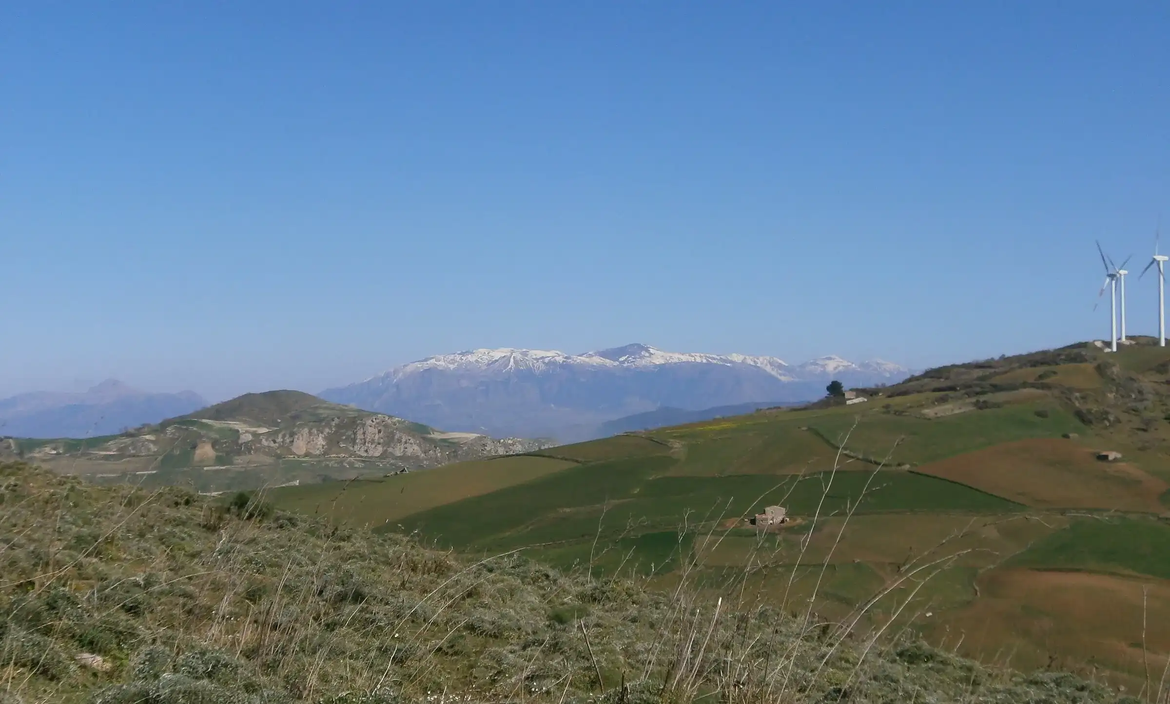
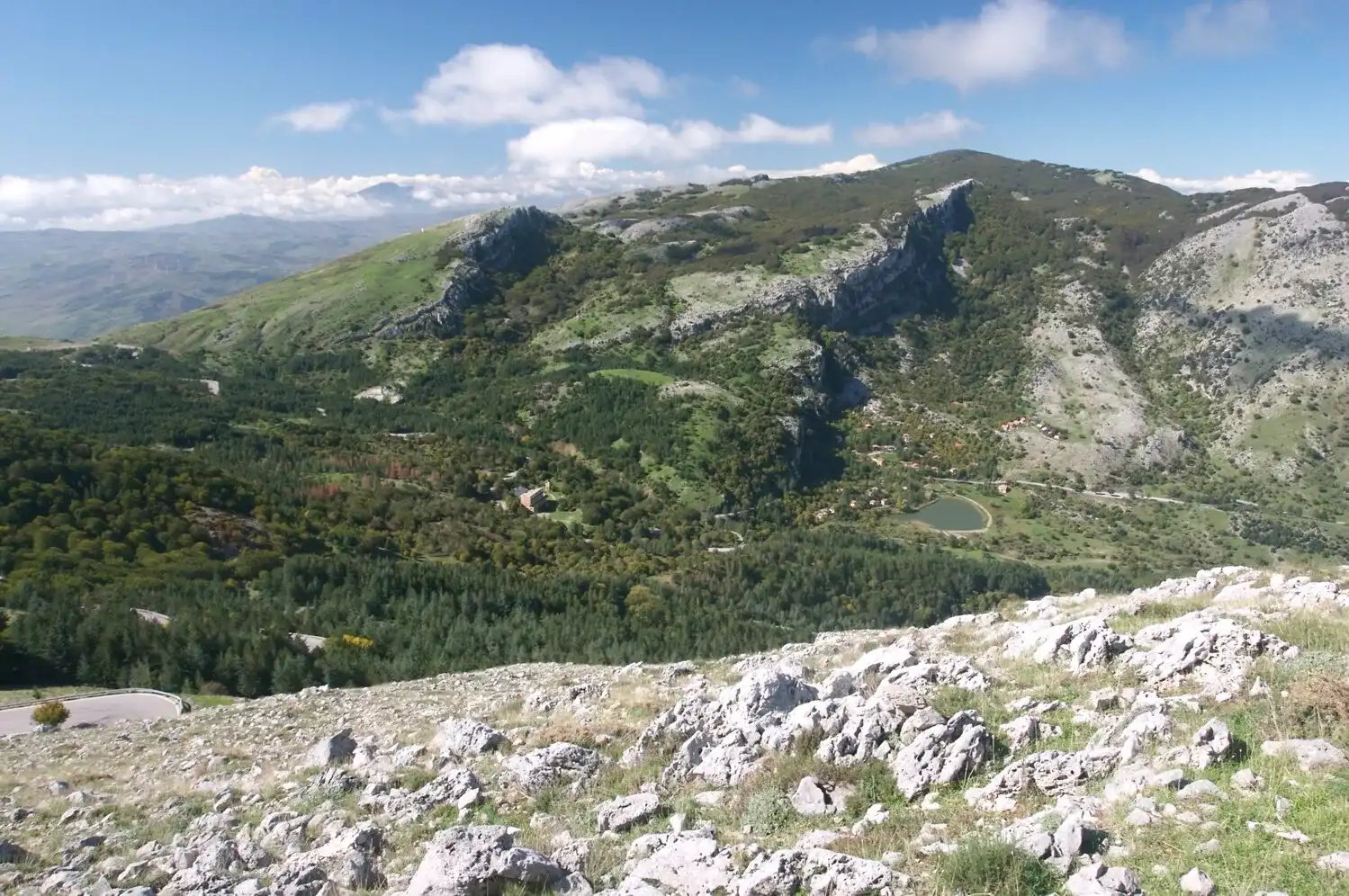
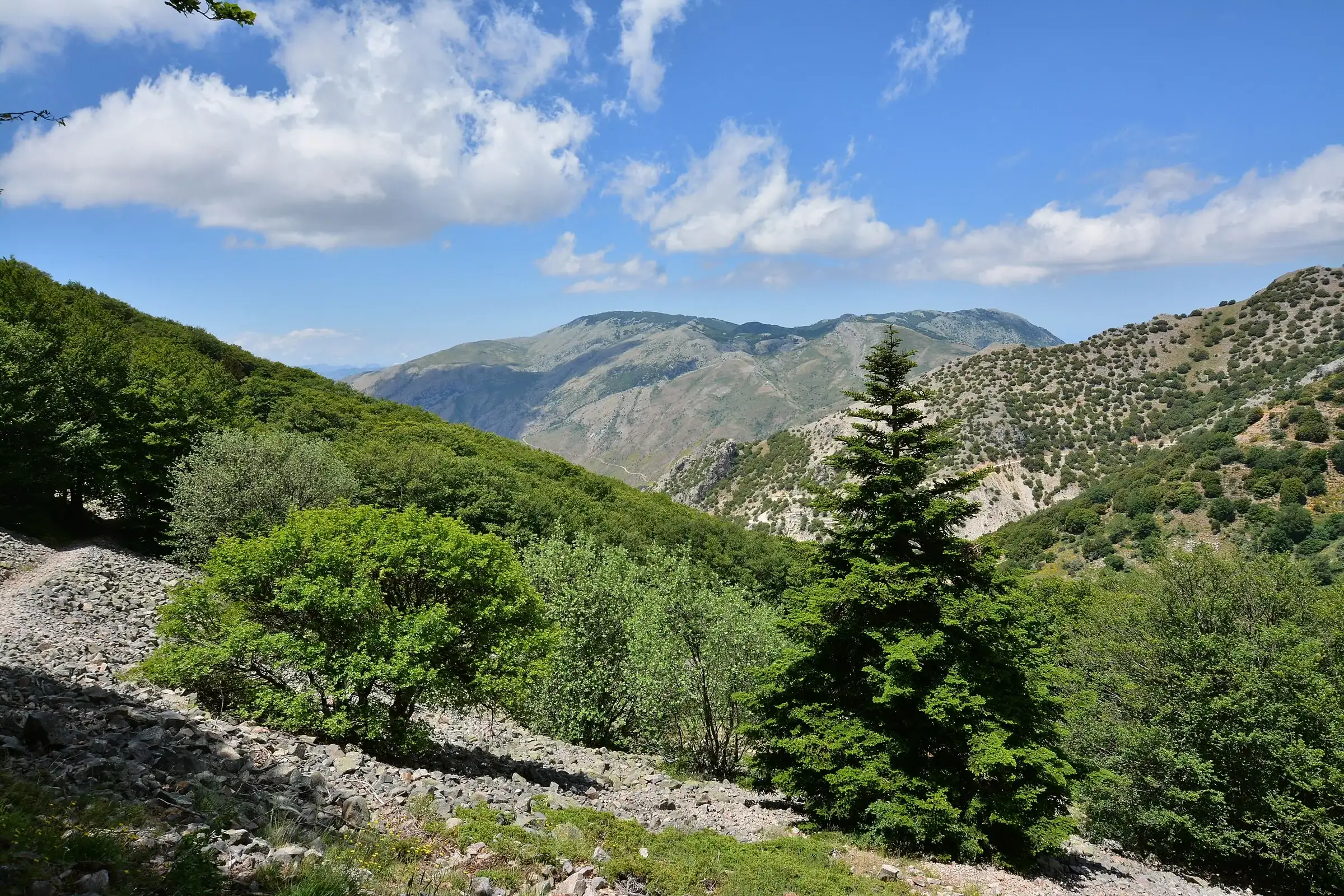
The Madonie Park (Parco delle Madonie) is a regional nature park in northern Sicily, founded on 9 November 1989. It covers 39,679 hectares in 15 towns of the metropolitan city of Palermo, from the sea at Cefalù and Pollina to the hills above Petralia Soprana and Petralia Sottana, and includes the highest peaks on the island after Etna: Pizzo Carbonara reaches 1,979 metres. It is run by the Madonie Park Authority, based in Petralia Sottana.
Since 2015 the same area has been part of the UNESCO Global Geoparks network. Here you will find the key figures, the protection zones, the rules and a map of what to see, with links to the detailed guides.
At a glance
The park covers the north-central part of Sicily. According to the Park Authority its natural borders are the Tyrrhenian Sea to the north, the Imera Settentrionale river to the west, the Pollina river to the east and, to the south, the band of hills around Sclafani Bagni, Caltavuturo, Polizzi Generosa, Castellana Sicula and the two Petralias.
To the east the Pollina valley separates the Madonie from the Nebrodi mountains. Together with the Nebrodi and the Peloritani, the Madonie form the Sicilian Apennines. ISPRA, Italy’s environmental agency, describes them as the island’s second mountain group after Etna, by height and size.
The northern side drops steeply to the sea through deep valleys. The southern side softens into clay hills that lead towards the inland plateau.
Each town has part of its land inside the boundary. The towns sit at very different heights, from the seaside at Cefalù to over a thousand metres in the Petralias.
| Town | What you find in the park | Guide |
|---|---|---|
| Caltavuturo | Rocca di Sciara and its geological trail | Caltavuturo |
| Castelbuono | Castelbuono woods, Piano Sempria, manna ash trees | Castelbuono |
| Castellana Sicula | Badlands, trail to the Madonna dell’Alto | Castellana Sicula |
| Cefalù | The Rocca, Gibilmanna, Abisso del Gatto | Cefalù |
| Collesano | The chestnut path among cork oaks and oaks | Collesano |
| Geraci Siculo | Bosco Sugheri, Piano Catarineci | Geraci Siculo |
| Gratteri | Grotta Grattara, Pizzo Dipilo | Gratteri |
| Isnello | Piano Zucchi, Abisso del Vento | Isnello |
| Petralia Soprana | Rock salt mine, Piano Catarineci | Petralia Soprana |
| Petralia Sottana | Piano Battaglia, Park Authority headquarters | Petralia Sottana |
| Polizzi Generosa | Vallone Madonna degli Angeli, Abies nebrodensis | Polizzi Generosa |
| Pollina | Gole di Tiberio, view of the Aeolian Islands | Pollina |
| San Mauro Castelverde | Gole di Tiberio, Vallone dei Molini | San Mauro Castelverde |
| Scillato | Scillato springs, Water Museum | Scillato |
| Sclafani Bagni | Urban geological trail | Sclafani Bagni |
Gangi is not in the park. The Madonie UNESCO Global Geopark, on the other hand, is wider: according to Balarm it includes 22 towns, and the 2026 geosite map reaches as far as Lascari, Campofelice di Roccella and Valledolmo. The difference between park and geopark is explained in the guide to the Madonie UNESCO Global Geopark.
The area is divided into four zones with different rules. This table gives the areas from the Park Authority’s 2026 plan.
| Zone | Type | Hectares | Share of the park |
|---|---|---|---|
| A | Strict nature reserve | 5,733 | 14.4% |
| B | General reserve | 16,535 | 41.7% |
| C | Protection | 427 | 1.1% |
| D | Control, or buffer zone | 16,984 | 42.8% |
Zone A holds the main natural treasures: the highest peaks, from Pizzo Carbonara to Monte dei Cervi, and the Abies nebrodensis woodland. Here nature is kept as it is.
In zone B no new building or land transformation is allowed, but grazing and forestry work authorised by the Park Authority are permitted. Zone C hosts visitor facilities such as mountain huts, rest areas and car parks. In zone D activities compatible with the park are allowed.
The whole park is under landscape protection and hunting is banned. The only culling is carried out under the wildlife control plans, such as those for fallow deer and wild boar.
The main reason the park was created, says the Park Authority, is its plant cover. The plant biodiversity map published by Raimondo, Schicchi and Surano in 2004 counts about 1,500 species and subspecies of vascular plants, more than half of Sicily’s flora, on just 1.55% of the island’s surface. There are 170 endemic plants.
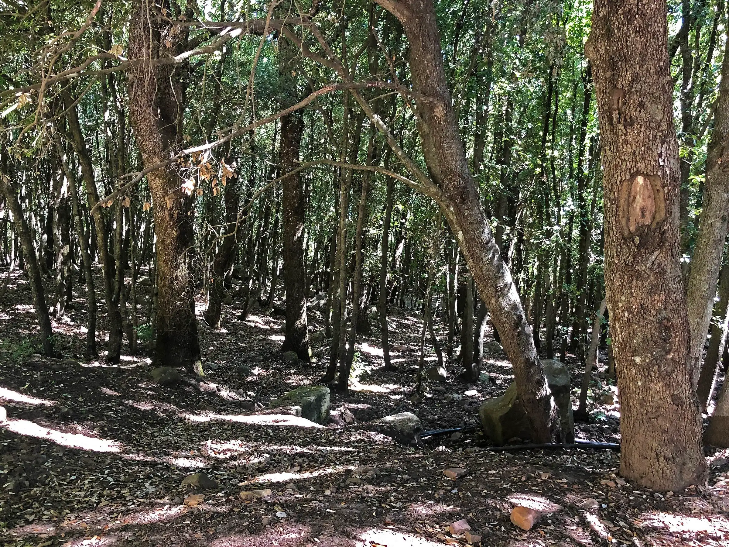
According to the same map, woods cover about 9,600 hectares and pastures about 13,000. The high beech woods, holm oak woods, cork oak woods and the sessile oak and holly woods are described in the guide to woods and beech forests.
The Park Authority reports that the park is home to more than half of Sicily’s bird species, all the island’s mammal species and more than half of its invertebrates. Since 2021 the griffon vulture has been back, after disappearing from here in the 1950s: the story is in the guide to Madonie wildlife.
The area is also protected by the European Union. The CNR lists the “Monti Madonie” Special Area of Conservation and Special Protection Area of the Natura 2000 network within the park. Before the park, two reserves already existed, Monte Quacella and Faggeta Madonie, which were later absorbed.
The guides in this section divide the park by theme. Here is where to start, with the best-known places of each.
The Park Authority recommends spring and autumn for hiking. For short walks any fine day of the year is fine, while it advises against crossings of the high Madonie in winter.
The nature calendar follows altitude. In the high, rocky areas flowers arrive between late May and June, with orchids and peonies. From October to the first half of November the beech woods change colour, as our article on autumn colours in the Madonie explains.
In winter heavy snow falls at altitude and Piano Battaglia becomes a ski resort: all the information is in the snow section. Before driving up, check the mountain weather and the Madonie driving guide.
The main road into the centre of the park is the SP54, which crosses the high Madonie from Collesano and Isnello to Petralia Sottana, passing Piano Zucchi and Piano Battaglia. The SP119, which used to climb from Polizzi Generosa to Portella Colla, has been closed by a landslide since February 2026, and in June work had still not started, according to Madonie Press. From Polizzi you now drive up via the SS643, the SS120 and Petralia Sottana: about 35 km and 43 minutes.
There are two motorways. The A20 Messina-Palermo serves Cefalù, Castelbuono, Pollina and the seaward side; the A19 Palermo-Catania serves Polizzi Generosa, Caltavuturo, Petralia Soprana, Petralia Sottana and Gangi. By our own calculations on OpenStreetMap, Piano Battaglia is about 89 km from Palermo (1 hour 40 minutes, with the A19 to Buonfornello, the SS113 and the SP9 to Collesano), 45 km from Cefalù and 152 km from Catania.
Exits, provincial roads and driving times town by town are in the guide on getting to and around the Madonie by car.
On 27 June 2026 the Park Authority republished the list of bans in its visitor regulations. In short, in the park you may not:
In September 2026 the Park Authority added a notice about monumental trees: do not stop at the foot of large trees, because branches can fall even without wind, and stay out of the woods during weather alerts.
On days when wildlife control is carried out, the Park Authority publishes “danger zone” notices listing the areas involved. Check them before leaving the main trails. For general rules on difficulty and safety there is our guide to the CAI scale and mountain safety.
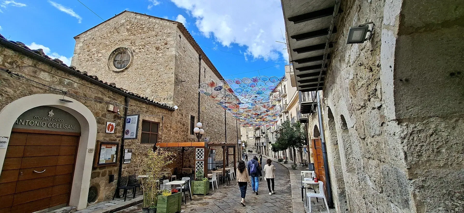
The Park Authority lists several museums linked to the area’s nature. In Petralia Sottana, in Palazzo Pucci Martinez, the Antonio Collisani civic museum houses the Giuseppe Torre geological section of the Geopark, opened in September 2025.
In Polizzi Generosa there are the Abies nebrodensis Museum and the Madonie Environmental Museum. In Castelbuono the Francesco Minà Palumbo natural history museum holds the collections of the 19th-century naturalist. In Scillato the Water Museum, in the former Paraturi mill, tells the story of the Madonie springs.
The most convenient bases for exploring the park are the mountain towns. Petralia Sottana is 16.5 km from Piano Battaglia, Castelbuono is close to the woods on the northern side, and Polizzi Generosa is the gateway to the Vallone Madonna degli Angeli. You will find places to stay on where to stay in Petralia Sottana, where to stay in Castelbuono and in the full list of where to stay in the Madonie.
Updated on 19 October 2026
 Hiking trail
Piano Battaglia · Loop
 Hiking trail
Contrada Quacella, SP119 · Loop
 Hiking trail
Case Marcatagliastro · Out and back
 Hiking trail
Piano Sempria · Out and back
 Hiking trail
Piano Noce, SP119 · Out and back
 Easy walk
Cefalù · Out and back
1,039 m a.s.l.
Home of the Madonie Park, at the foot of Piano Battaglia
631 m a.s.l.
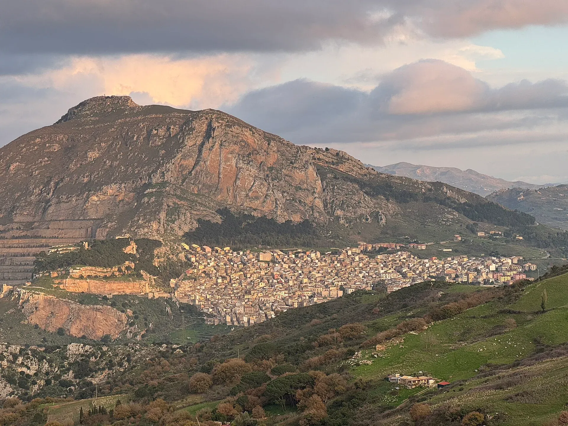
The village below the Rocca di Sciara
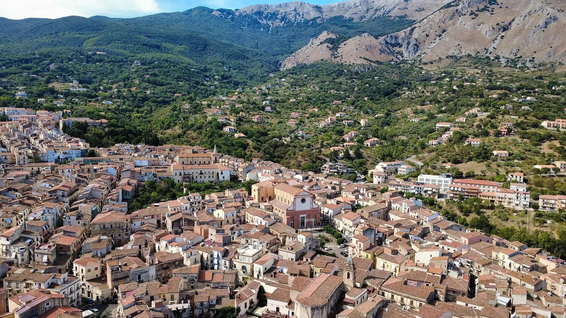
423 m a.s.l.
The town of the Ventimiglia castle, manna and testa di turco
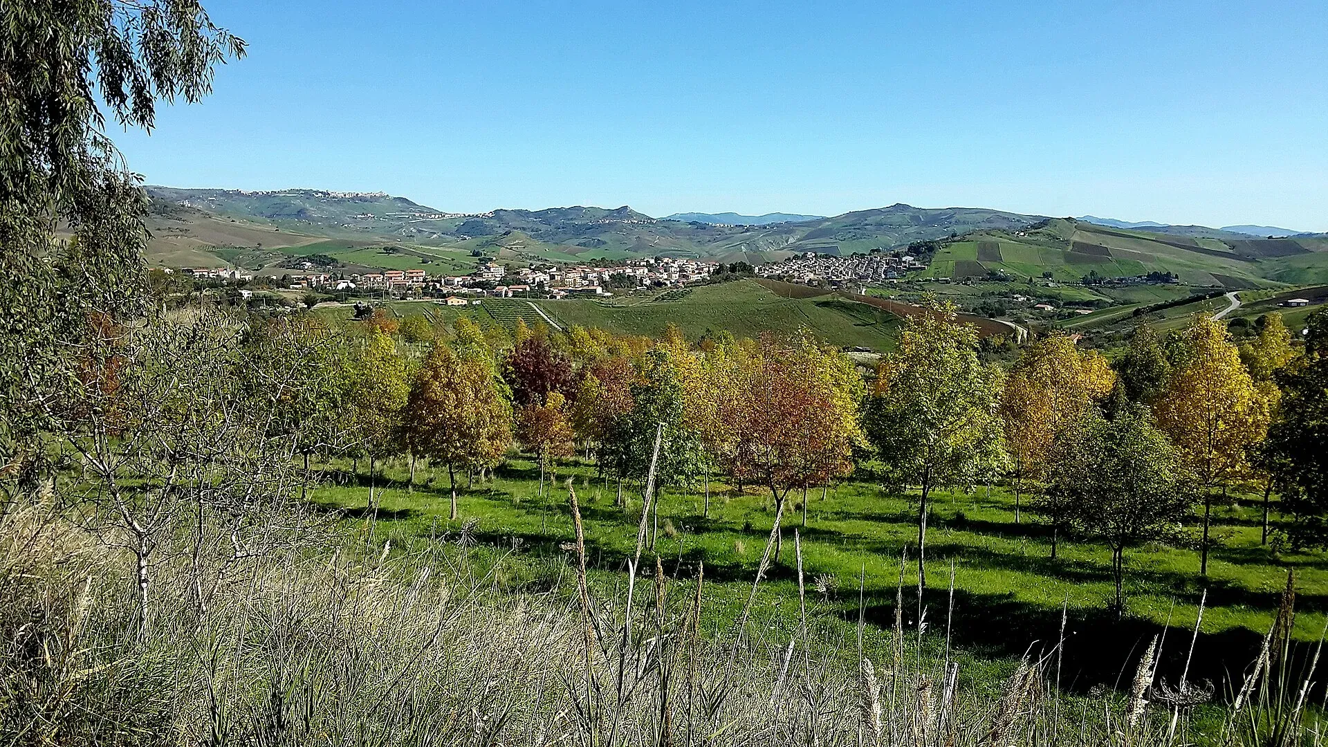
774 m a.s.l.
The village of hamlets and murals
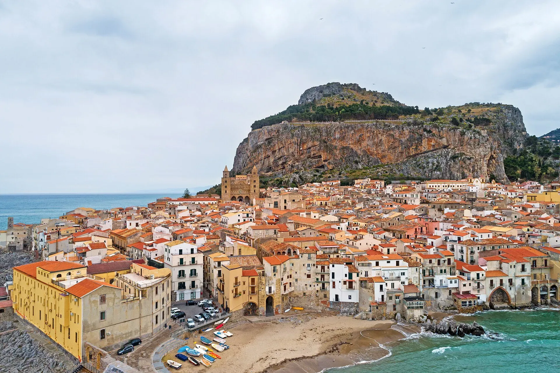
16 m a.s.l.
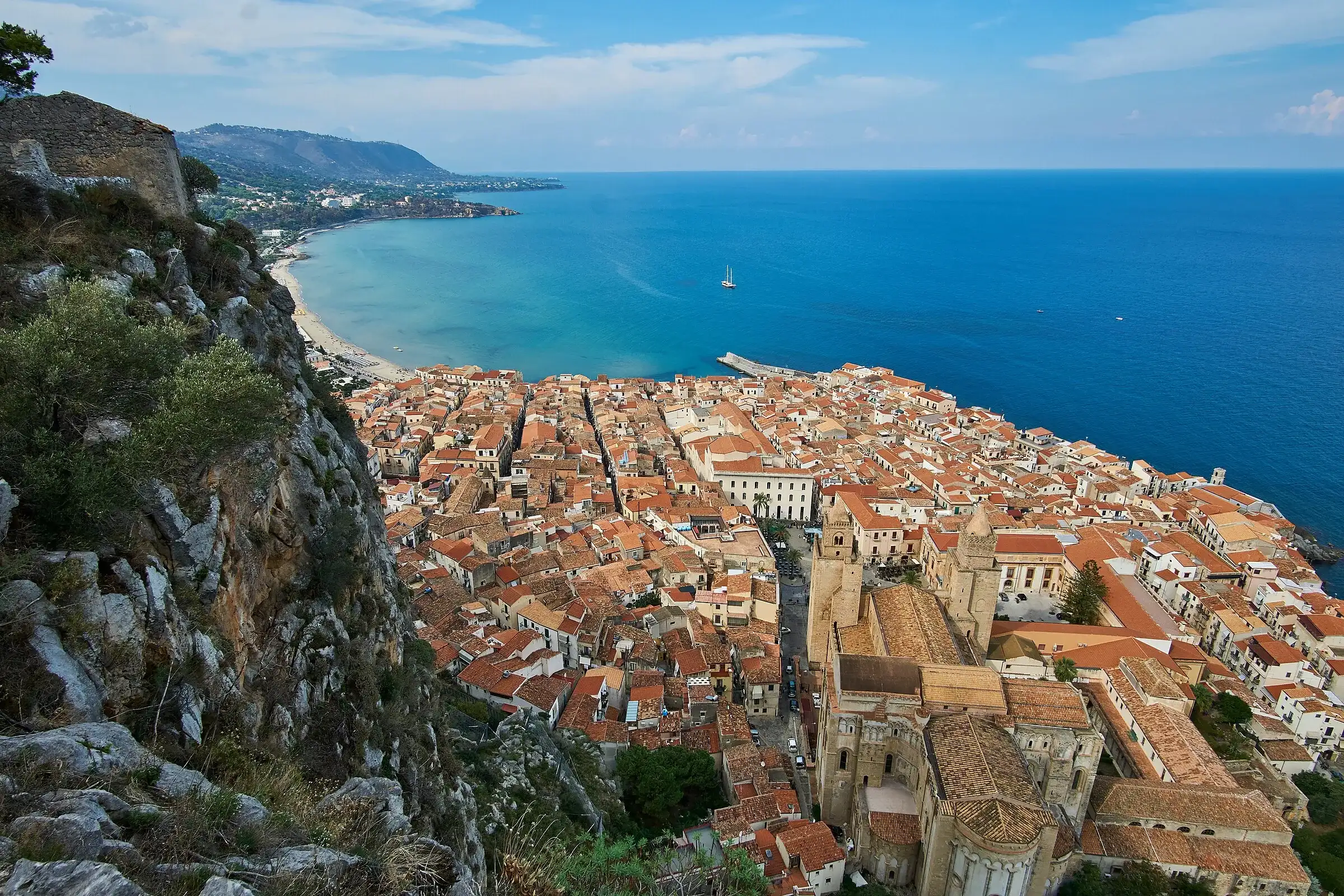
The Norman cathedral, the Rocca and the sea at the foot of the Madonie
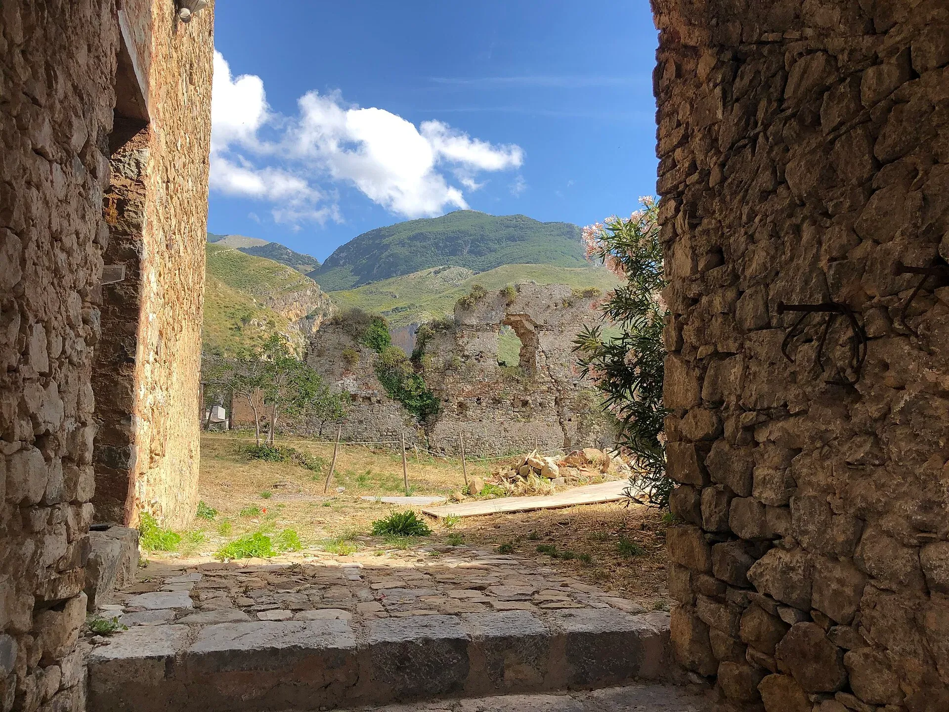
470 m a.s.l.
Ceramics, a castle and the Targa Florio museum
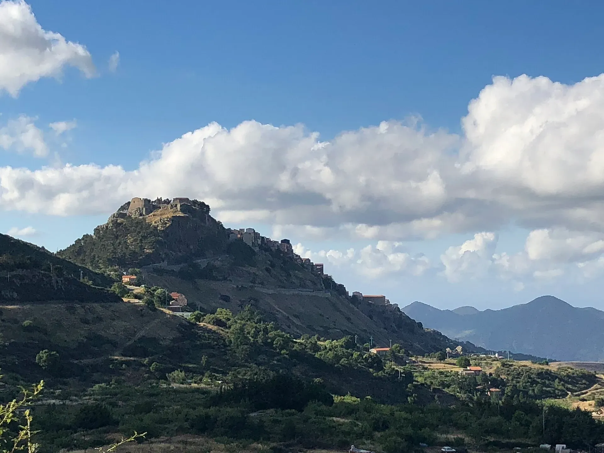
1,077 m a.s.l.
The first capital of the Ventimiglia, above the Madonie woods
680 m a.s.l.
The terrace over the Tyrrhenian Sea above Cefalù
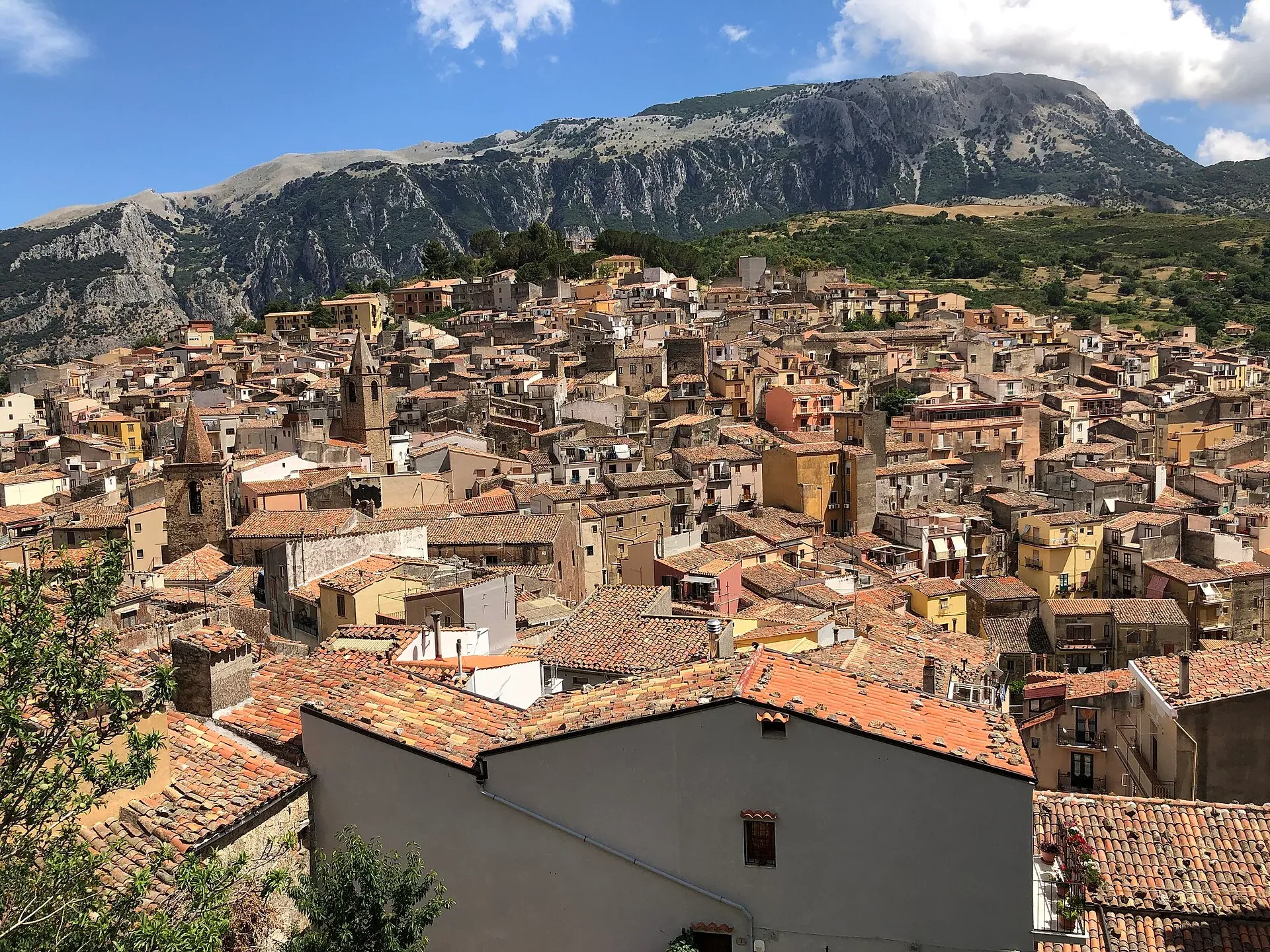
583 m a.s.l.
The town of the stars, beneath the Madonie cliffs
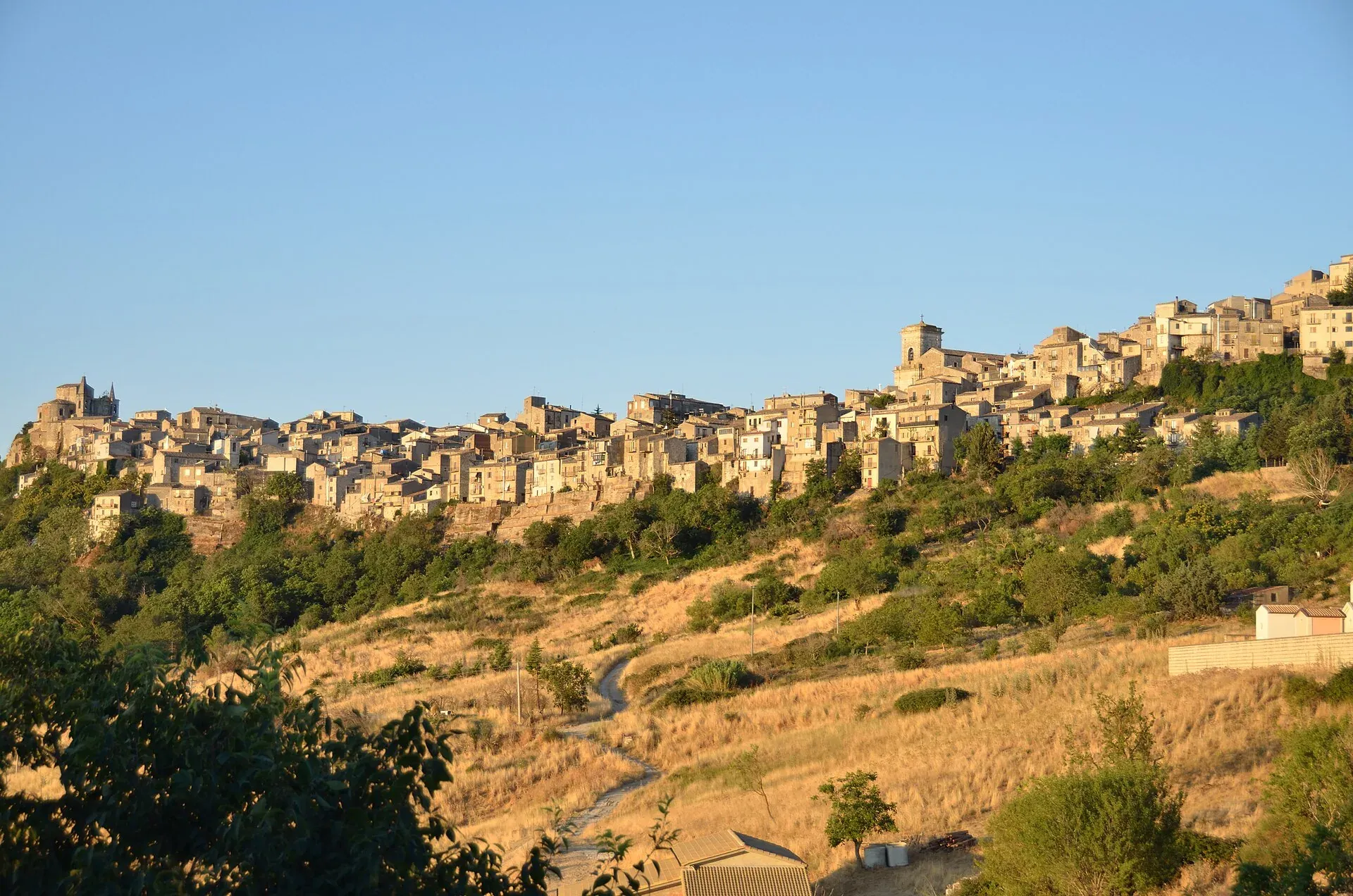
1,147 m a.s.l.
The highest town in the Madonie, Borgo dei Borghi 2018
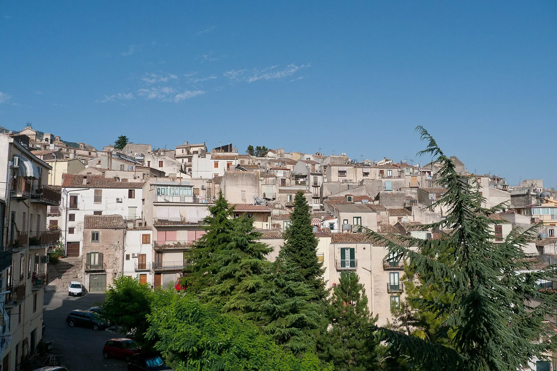
920 m a.s.l.
The town of the Abies nebrodensis, sfoglio and badda beans
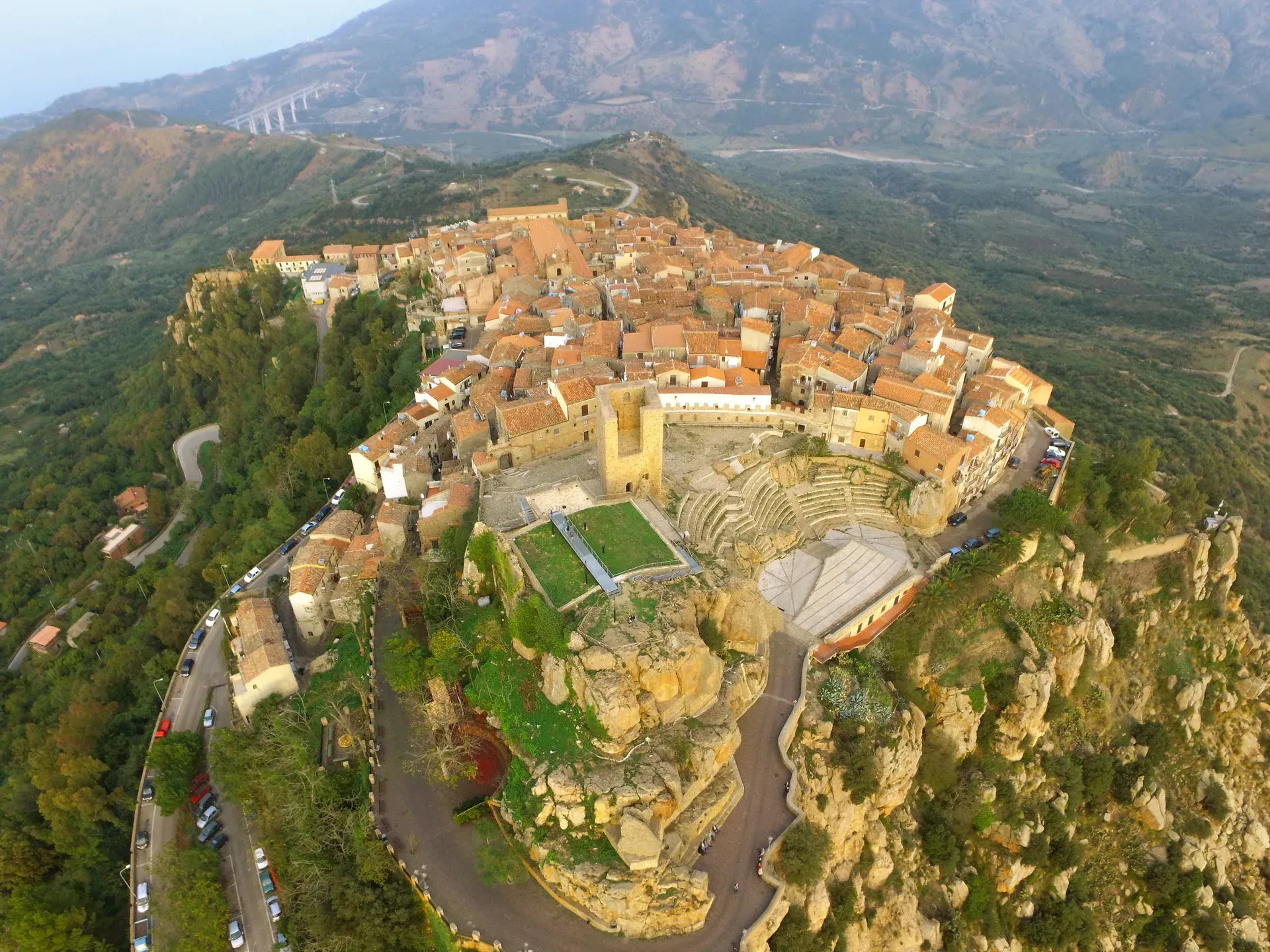
664 m a.s.l.
The stone theatre and the manna, above the sea at Finale
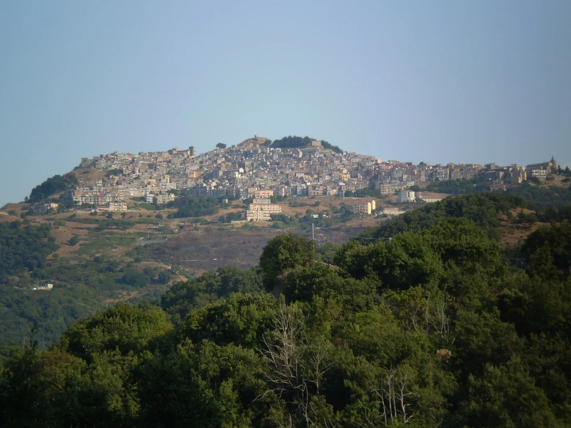
1,025 m a.s.l.
The village at a thousand metres above the Gole di Tiberio
239 m a.s.l.
Springs, water mills and oranges
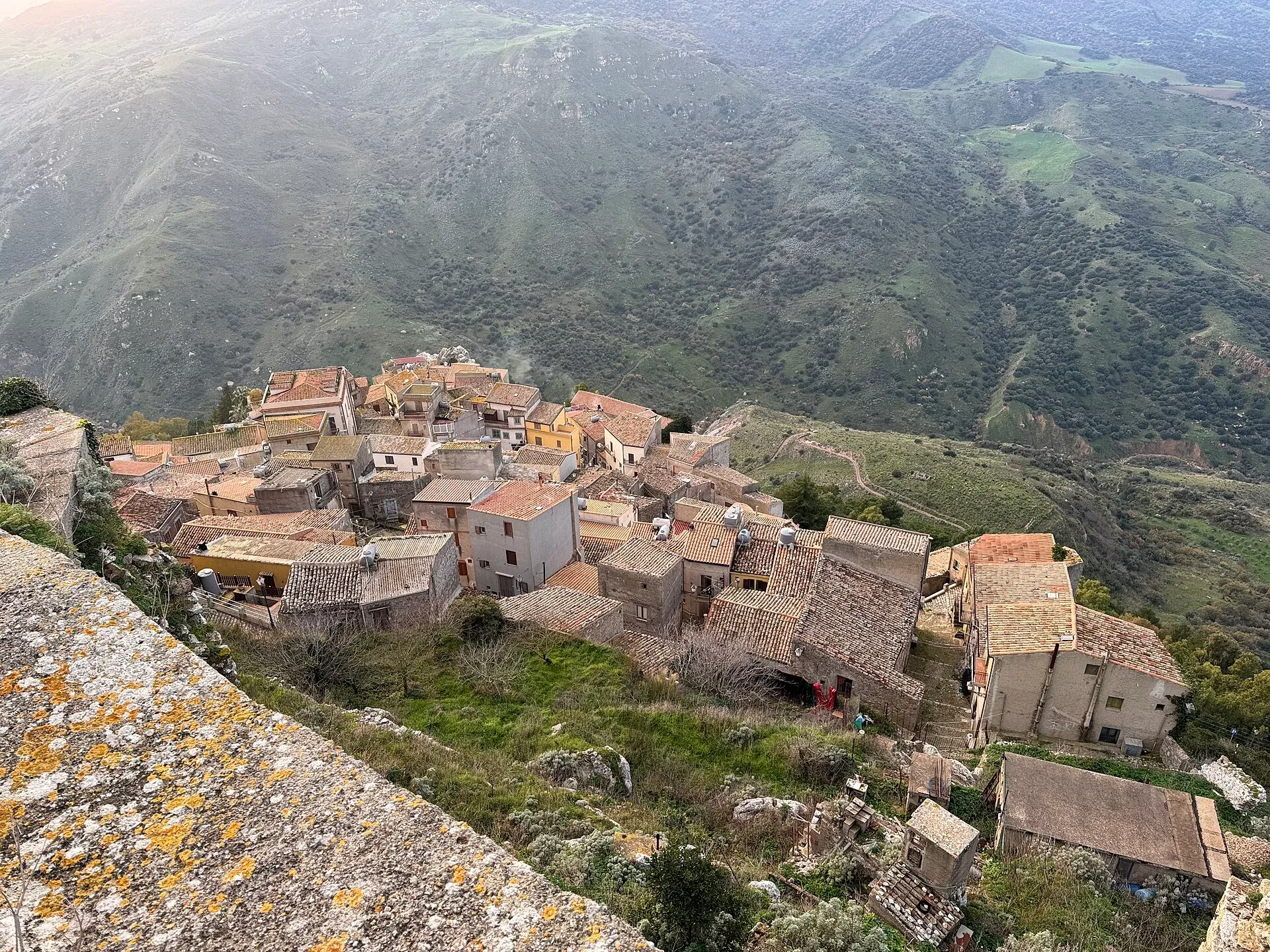
755 m a.s.l.
The walled village on the rock and its hot spring
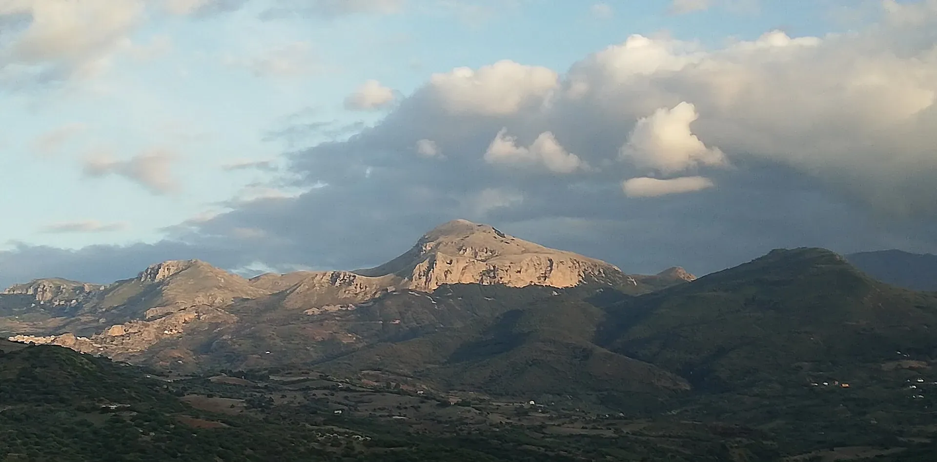
Nature
Madonie UNESCO Global Geopark: a geopark since 2001, UNESCO since 2015, 70 geosites and 220 million years of history. What to see, geological trails, museums.
Nature
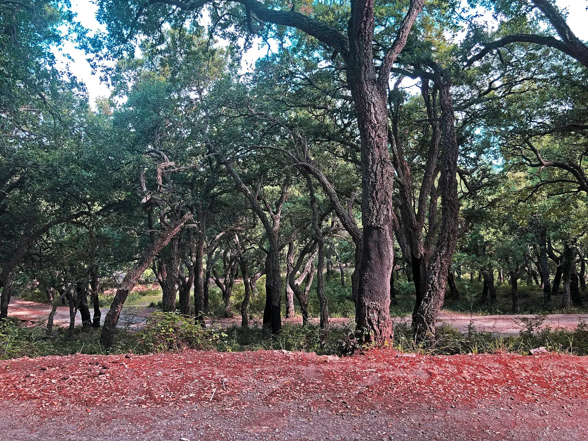
Madonie woods: beech forests up to 1,900 m, holm oaks, cork oaks, giant hollies and trees 800 years old. Where they are, how to tell them apart and when to go.
Nature
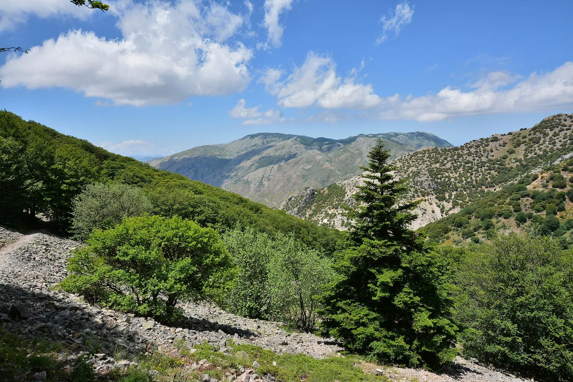
Abies nebrodensis: about 30 adult trees in the wild, all near Polizzi Generosa. What it looks like, why it may vanish, how it is protected, where to see it.
Nature
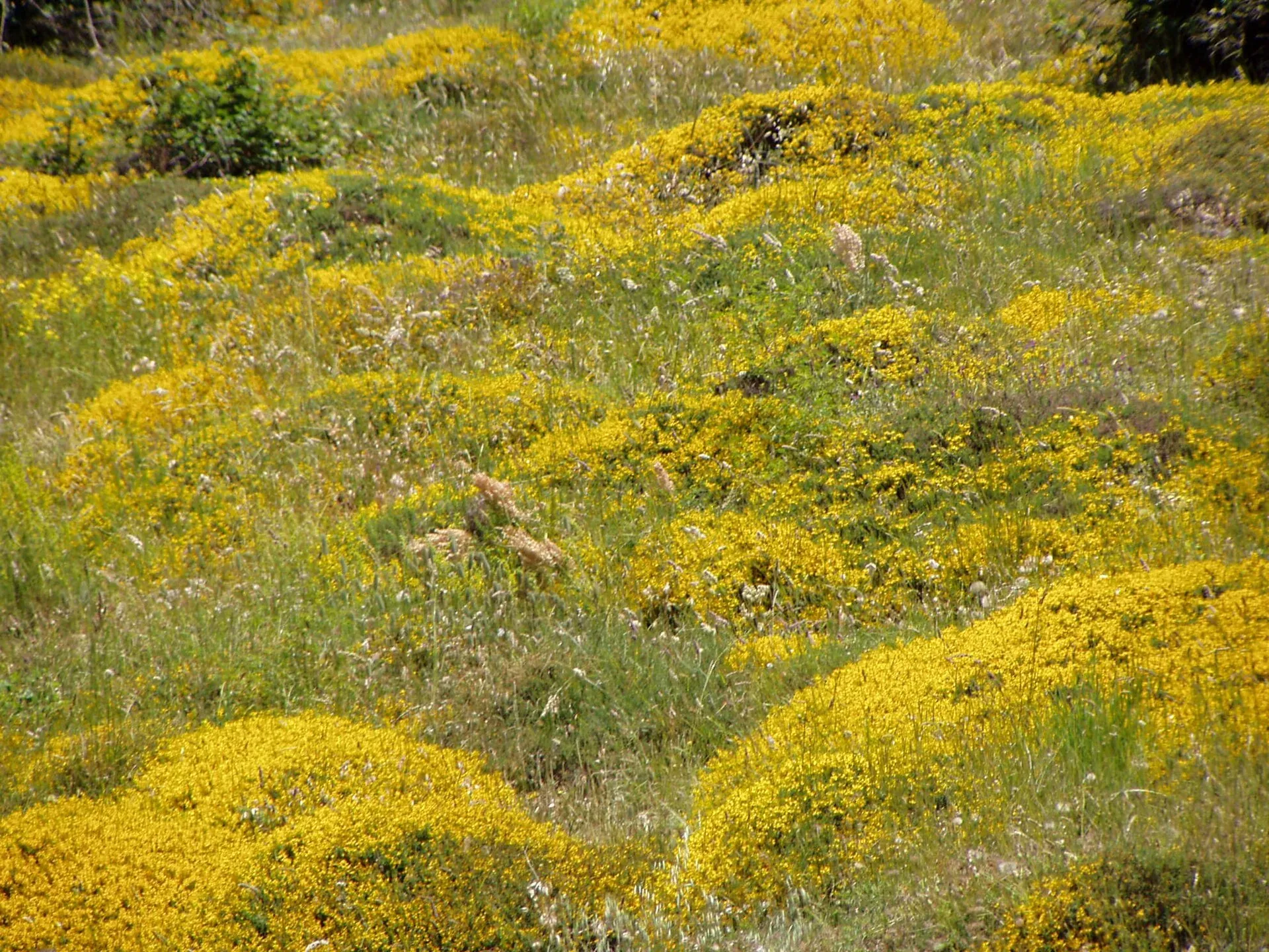
Madonie flora: about 1,500 species and 170 endemics, over half of Sicily's plants. Endemic plants, orchids, peonies, where to see them and when they flower.
Nature
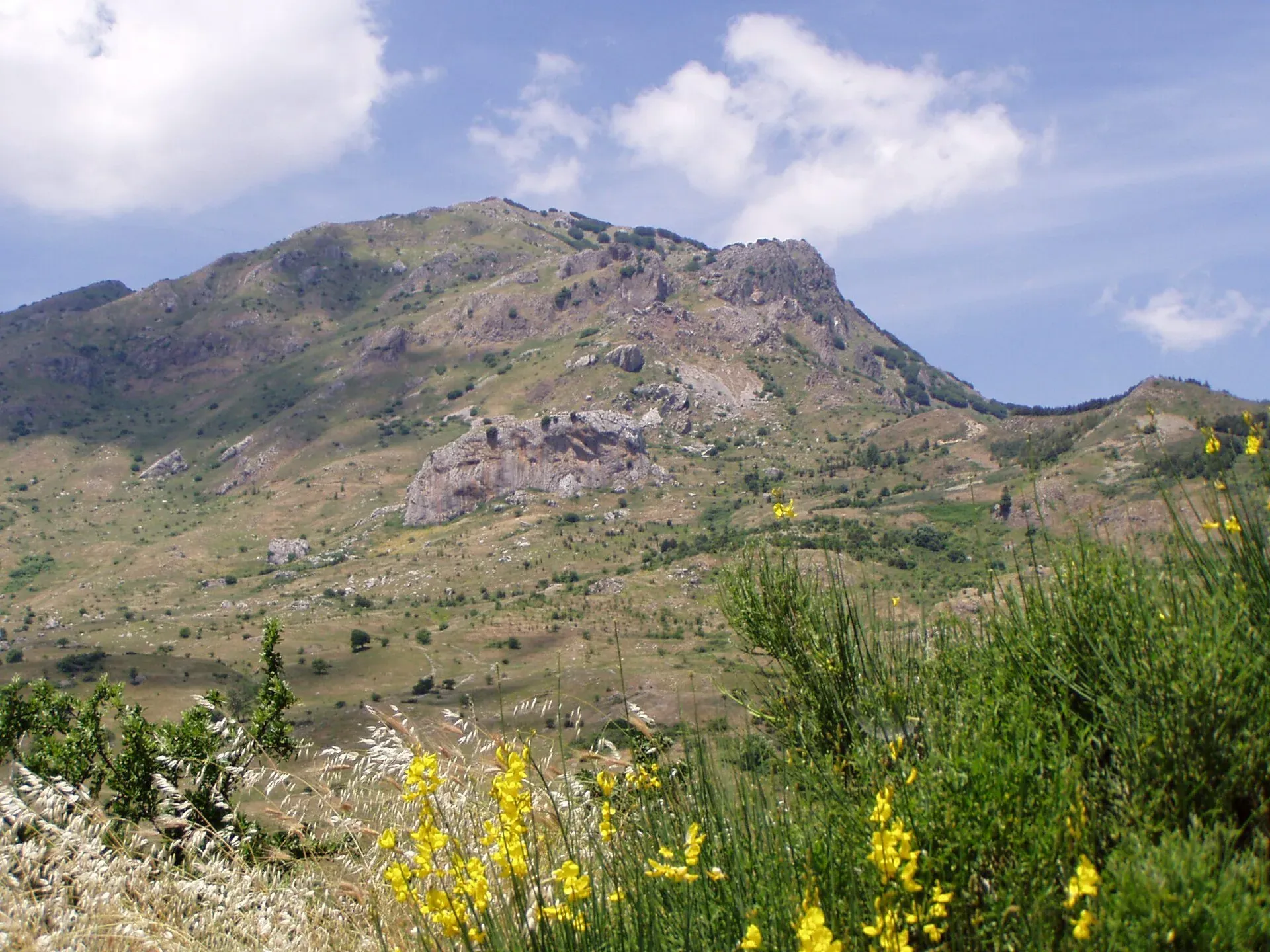
Madonie wildlife: golden eagles, griffon vultures back after 70 years, Egyptian vultures, fallow deer, porcupines and the Parnassius apollo siciliae butterfly.
Nature
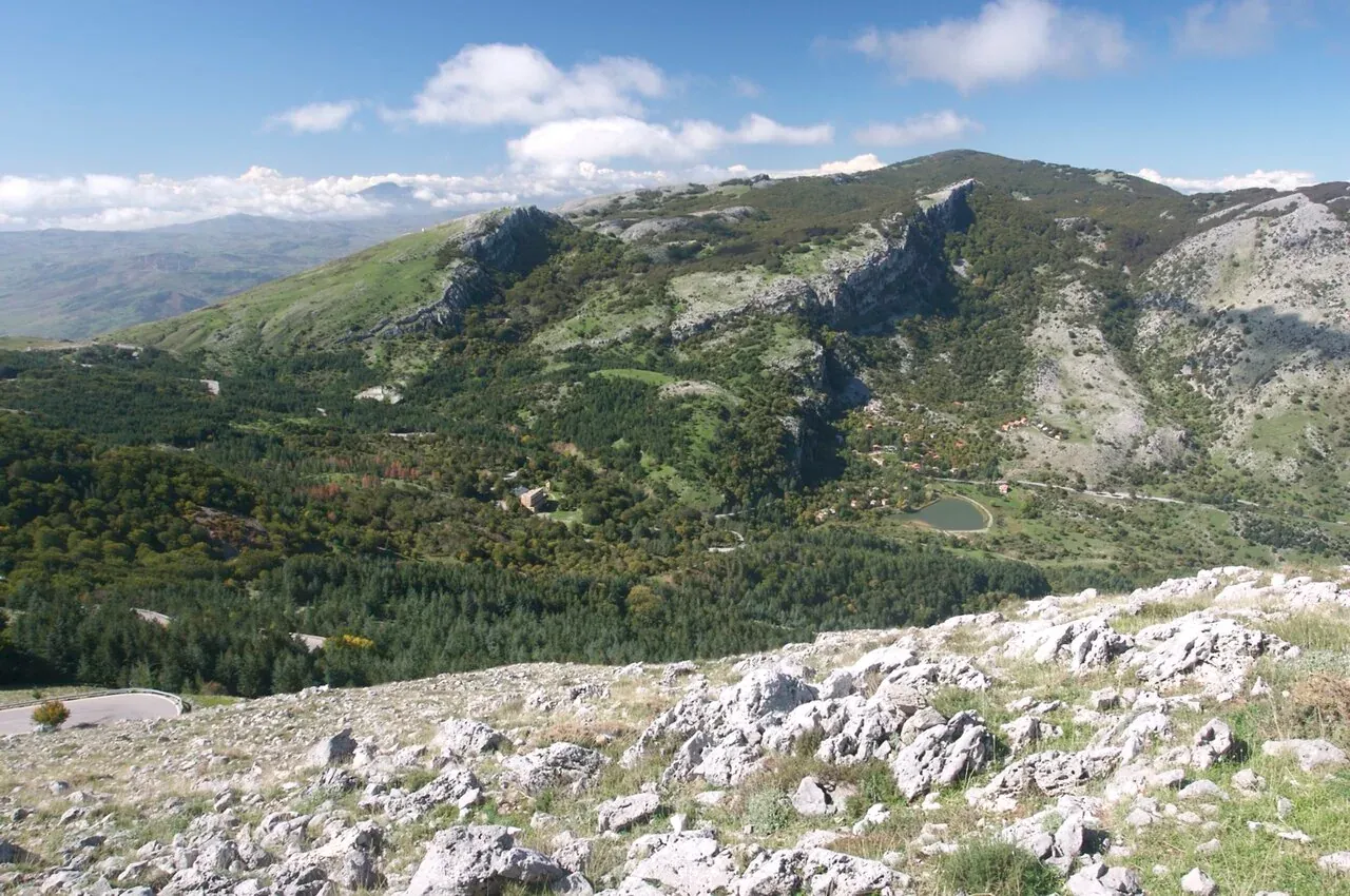
The peaks of the Madonie: Pizzo Carbonara 1,979 m, Pizzo Antenna Grande, Monte San Salvatore, Quacella and Mufara. Table of heights, trails and practical tips.
Nature
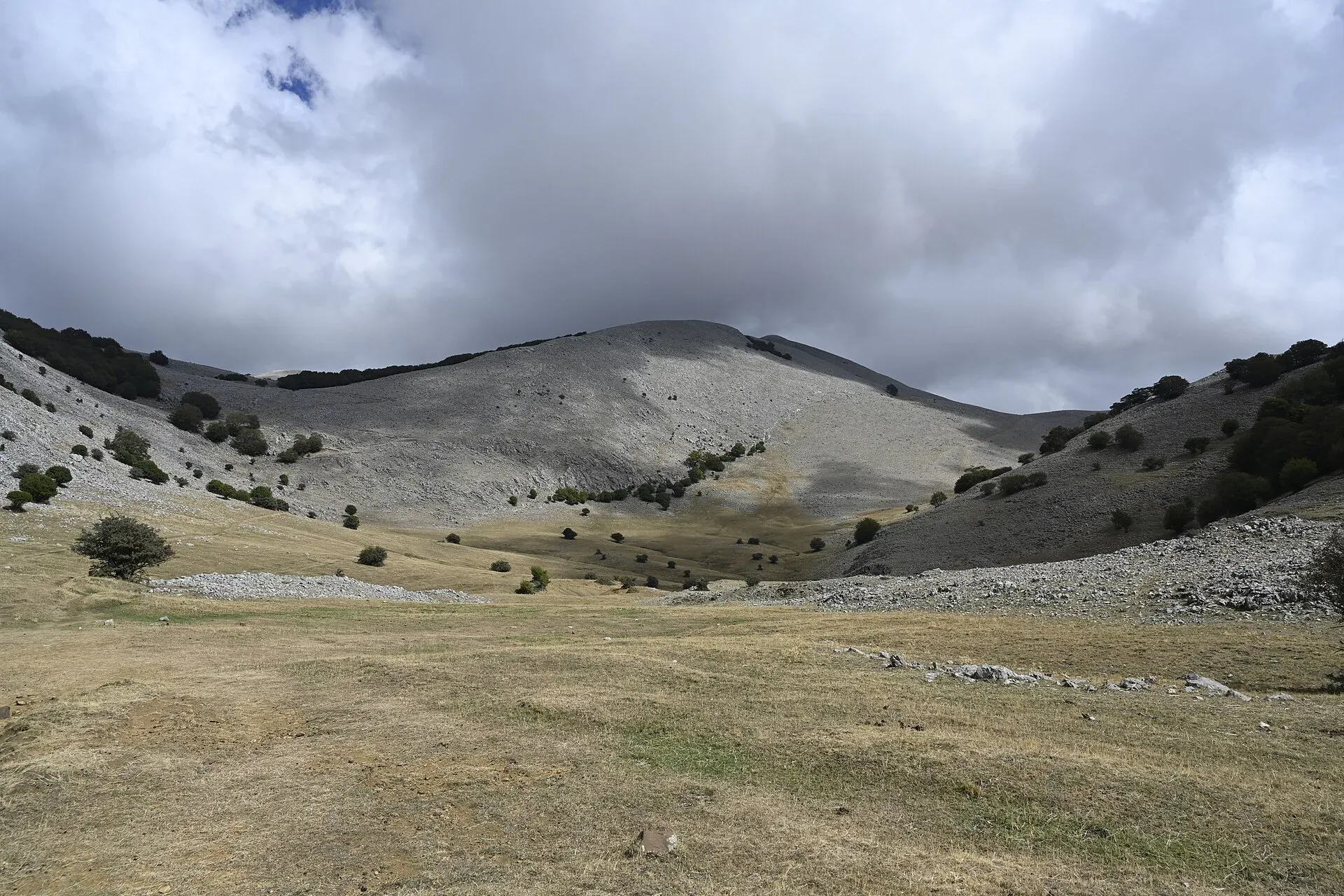
The plateaus of the Madonie: Piano Battaglia at 1,572 m, Piano Zucchi, Piano Sempria, Piano Cervi, Piano Pomo and Piano Catarineci. Heights, access, what to do.
Nature
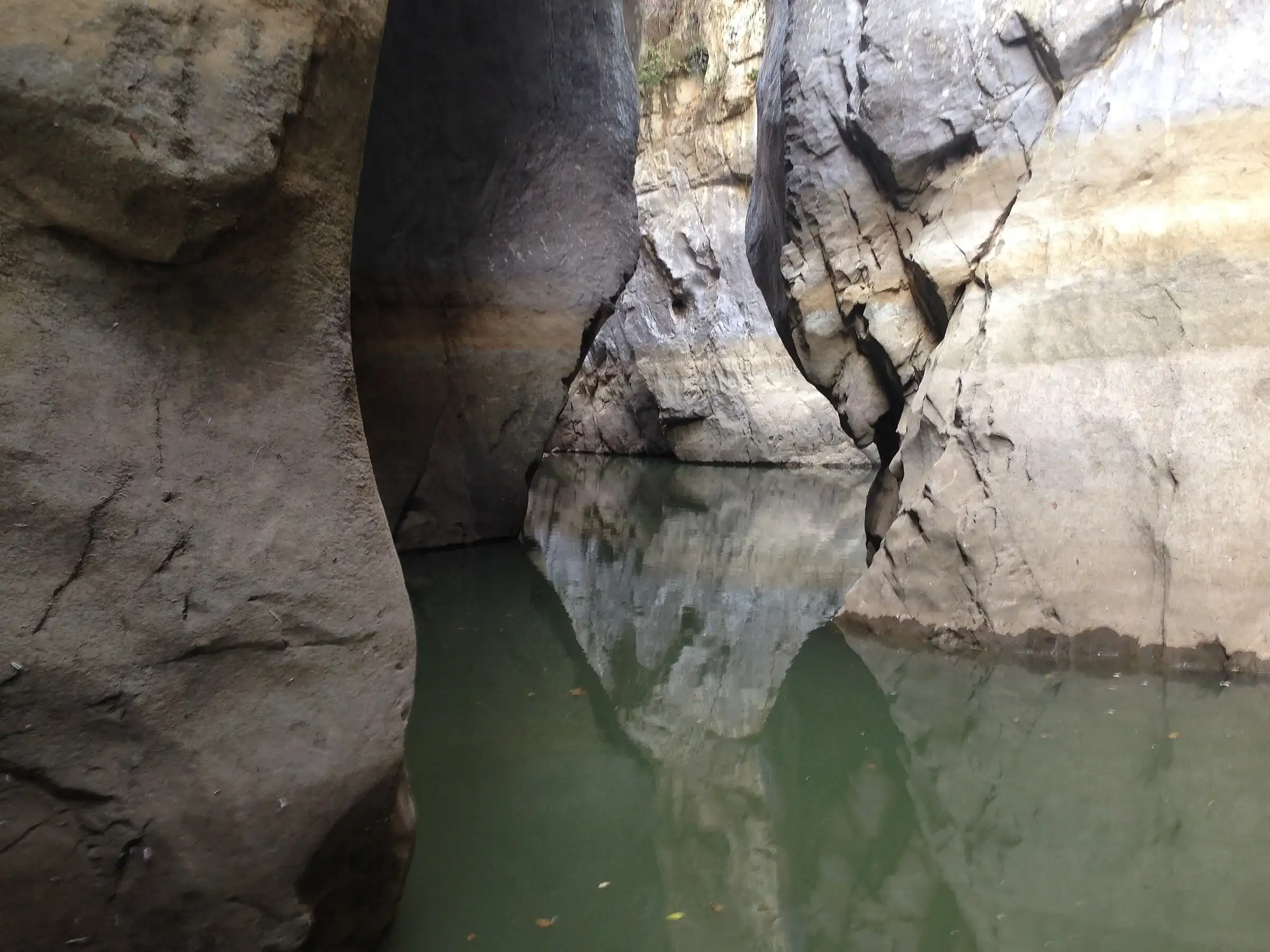
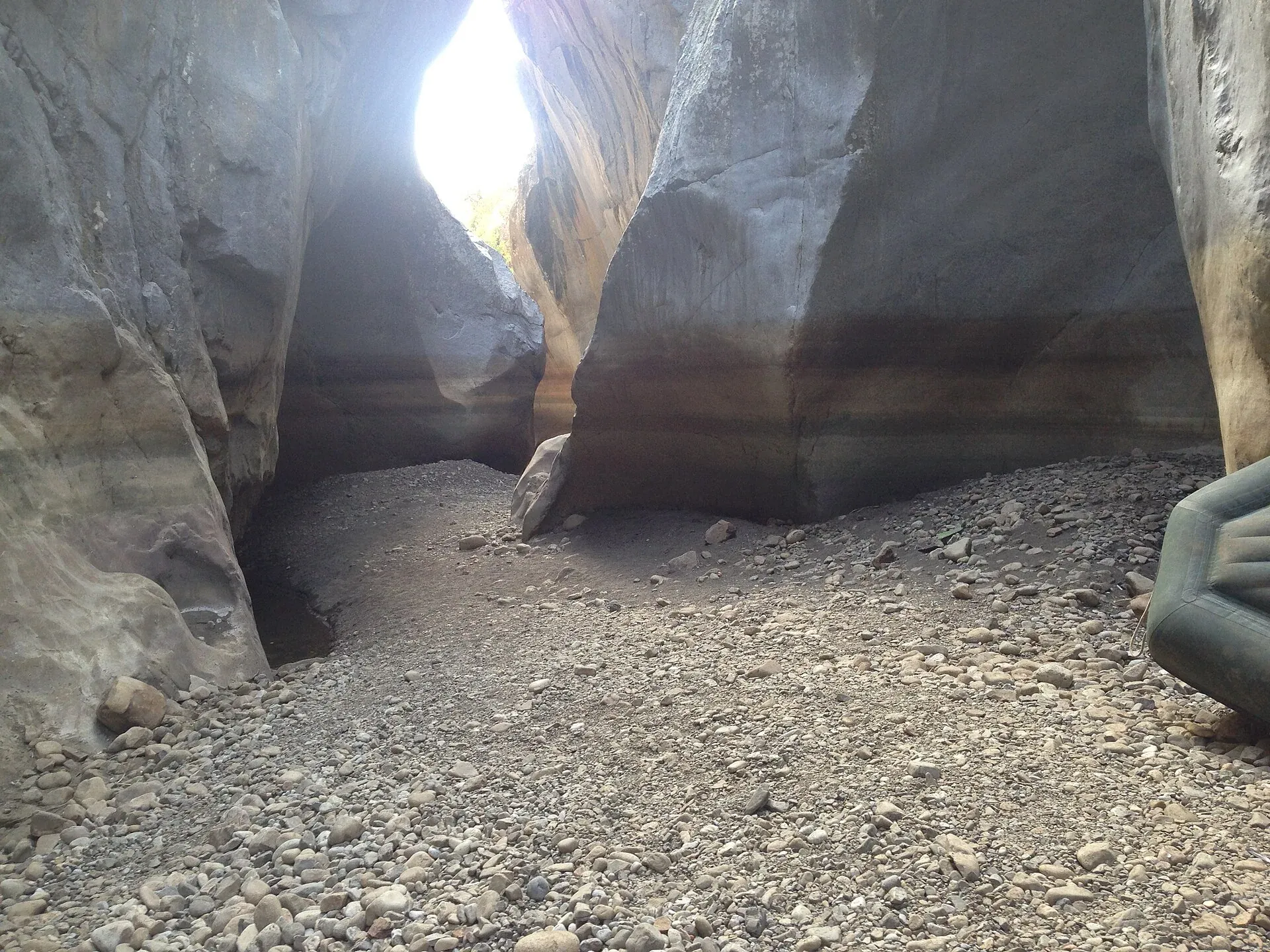
Gole di Tiberio, Grotta Grattara, Abisso del Vento, Abisso del Gatto and Scopalacqua falls: where they are, how to visit and what is banned in the Madonie.
Nature
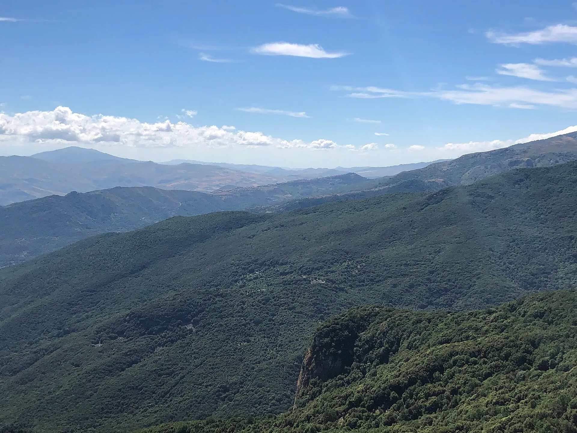
The best viewpoints in the Madonie: Pizzo Carbonara, Madonna dell'Alto, Monte San Salvatore, Pollina and the SP54 lookouts. Where to see Etna and the Aeolians.
Nature
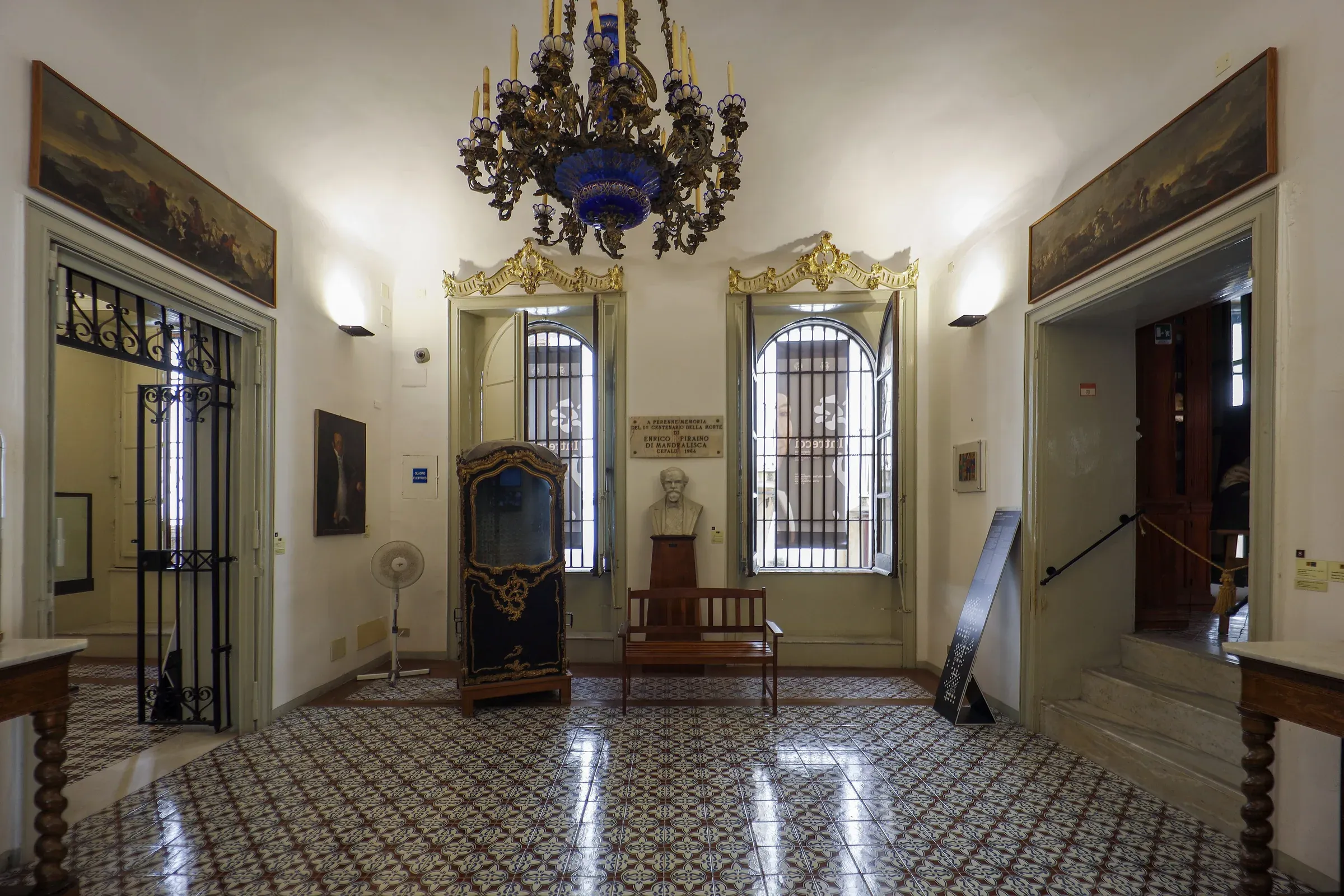
Museums of the Madonie: the Mandralisca in Cefalù, the Museo Civico in Castelbuono castle, Minà Palumbo, the Targa Florio, salt sculptures and rural life.
Travel info
Itineraries
Nature