Travel info
Nature and landscapes
Gole di Tiberio, Grotta Grattara, Abisso del Vento, Abisso del Gatto and Scopalacqua falls: where they are, how to visit and what is banned in the Madonie.
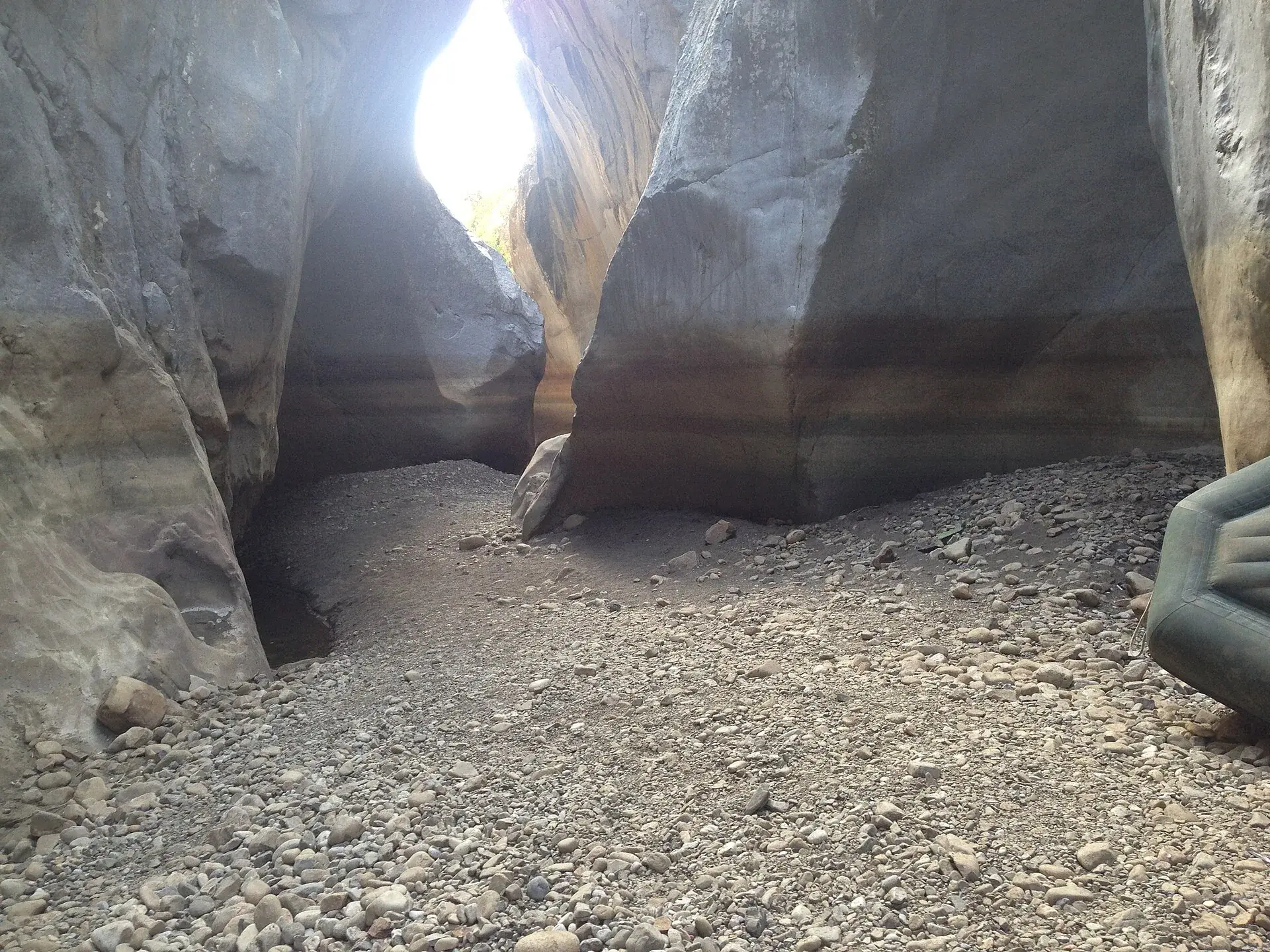
The gorges, caves and waterfalls of the Madonie are the work of water on limestone. The best known are the Gole di Tiberio, a canyon about 450 metres long carved by the Pollina river at San Mauro Castelverde, the Grotta Grattara above Gratteri and the Vallone Scopalacqua waterfall, a drop of about 40 metres along the SP54. Underground there are shafts hundreds of metres deep, such as the Abisso del Vento at Isnello and the Abisso del Gatto at Cefalù, the deepest in Sicily.
Some places can be visited on a short walk, others only with guides or cavers. This guide tells you what to see, how to get there and what is forbidden.
At a glance
Much of the high Madonie is made of limestone and dolomite. Rain and snowmelt dissolve these rocks: this is karst. On the surface it leaves dolines and swallow holes; underground it carves caves, pits and shafts.
According to Wikipedia horizontal caves and vertical shafts tell of two different moments: the first formed when the mountains rose slowly, the second during phases of rapid uplift. On the Carbonara plateau there are no surface streams, because the water sinks straight underground and comes back out at the springs lower down.
The most spectacular caves, according to Wikipedia, are in the massifs of Pizzo Dipilo, Monte Balatelli, Monte Ferro and Cozzo Carcarello. Lower down the rivers take over. The Park Authority explains that on limestone and sandstone they cut downwards, in a V shape, opening gorges and ravines; on clay, instead, they widen the valleys.
The Gole di Tiberio are a small canyon on the Pollina river, between the towns of San Mauro Castelverde, Castelbuono and Pollina. They lie at about 100 metres above sea level, some ten kilometres before the river reaches the Tyrrhenian Sea.
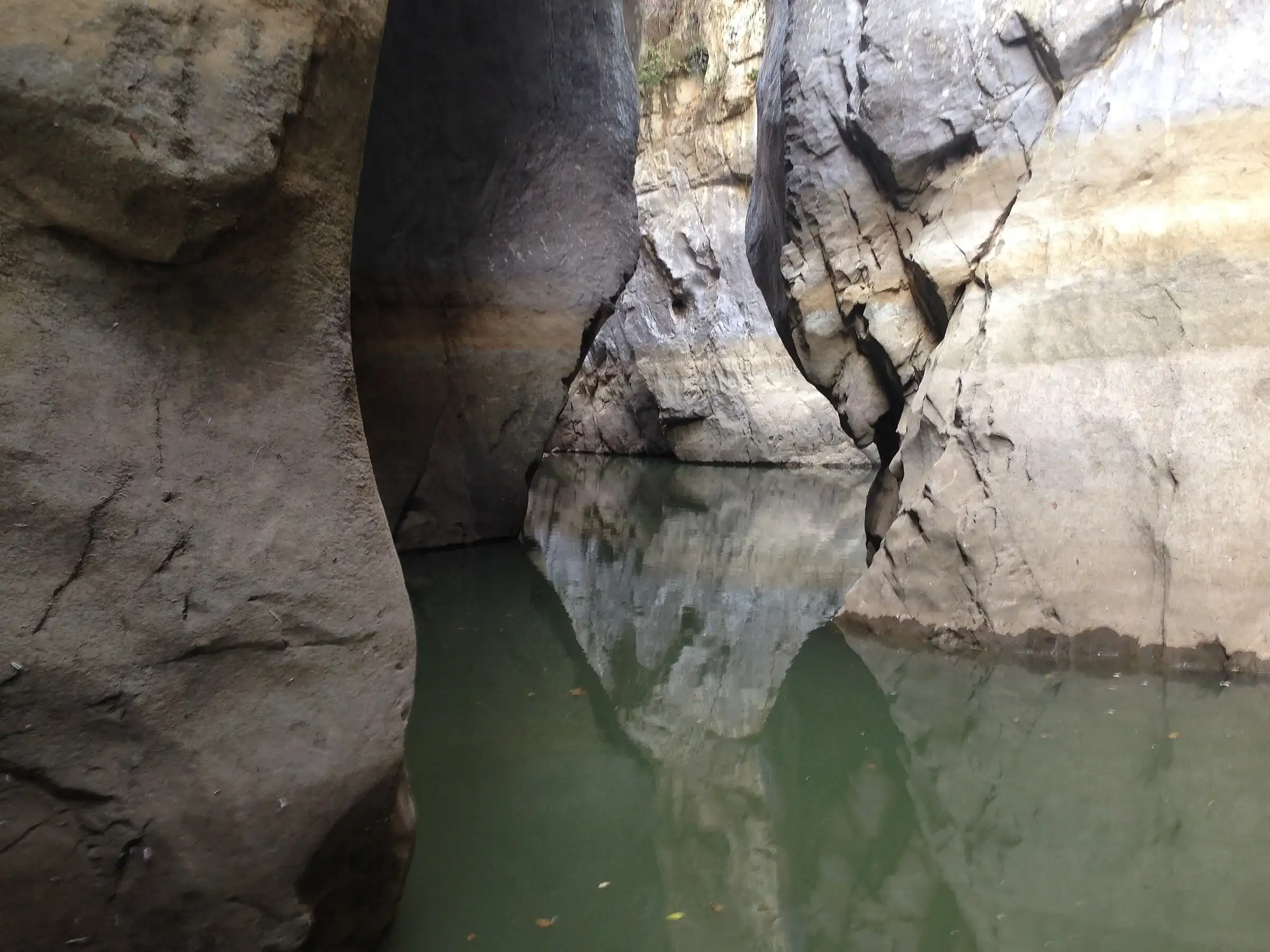
According to Wikipedia the gorge is about 450 metres long, with walls up to 50 metres high and water up to 8 metres deep. The Park Authority explains that the limestone formed more than 200 million years ago. The river began cutting into it in the Miocene and, according to Wikipedia, the canyon had formed by about two million years ago. On the smooth walls you can see fossil sea snails, and cliff birds nest there.
The name of the district, according to oral tradition, comes from a Roman villa dedicated to the emperor Tiberius. In Sicilian the gorge is called ’u Mirìcu, the navel.
The path starts at the Case Marcatagliastro, a farm complex at 284 metres, on the road to San Mauro Castelverde. According to the Cefalù Madonie tourist district it goes down through an olive grove and a citrus grove to the river and, in less than a kilometre, reaches the entrance of the gorge.
You cannot walk inside the gorge: the river fills the whole floor. In spring and summer it is explored by inflatable boat. The tourist district mentions the service of the Madonie Outdoor association, which in 2021 also took a Geoparks Week outing through the gorge by boat.
Start point, tips and season are on the Gole di Tiberio page. It is one of the best outings for families, but after heavy rain the river swells and access becomes dangerous.
The Grotta Grattara opens at the foot of Pizzo Dipilo, about 300 metres from the village of Gratteri. You get there from the San Nicola plateau, on a path that zigzags through a pine wood to the boulder called lazzu di vuoi, the oxen’s bed, and then on the level to the entrance.
The Park Authority describes a large rock basin in the middle of the cave, hollowed out by dripping water, and a small flight of steps worn by generations of feet. Swallows and pigeons nest on the outer ledges, and in winter sheep shelter there from the north wind.
The cave is also a place of stories. In local legend it was the home of the Befana, the vecchia strina, who on the last night of the year came down the chimneys to fill the stockings of the children of Gratteri. Today it is one of the Geopark’s 70 geosites.
In the same massif Wikipedia mentions the Grotta dei Panni, at 1,190 metres, and the Grotta dell’Appesa, at 900 metres, both at Gratteri. Some caves of Pizzo Dipilo have yielded finds from the Upper Palaeolithic.
At Piano Battaglia the water disappears underground at one precise point: the Battaglietta swallow hole, zubbiu in dialect. It is a small cave at the foot of the northern side of the basin, through which rainwater and snowmelt flow.
It is the easiest geosite to see: you find it with a short detour from the Battaglietta to Portella Colla geological trail or from trail 552 towards Piano Sempria. You only go inside with experienced cavers. The geology of the area is explained in the guide to the UNESCO Geopark.
The Madonie have some of the deepest caves in Sicily. They are serious places, with vertical pits and squeezes: they can only be visited with caving equipment and training.
| Cave | Town | Depth | Length | Access |
|---|---|---|---|---|
| Abisso del Gatto | Cefalù | 323 m | about 1,100 m | Authorised cavers, at least 4, by booking |
| Abisso del Vento | Isnello | about 220 m | about 2 km | Experienced cavers, entrance on private land |
| Pozzo Minnonica | n/a | about 57 m explored | n/a | Dangerous pit, cavers only |
The Abisso del Gatto opens at 380 metres, on the western slopes of Cozzo Carcarello. According to the tourist district it is the deepest cave in Sicily.
The Abisso del Vento lies on the slopes of Cozzo Balatelli, at Isnello. The name comes from the strong draught in the first squeeze: people once said they could hear rushing water by putting an ear to the rock. The first explorations date from 1972, by cavers from the CAI in Cefalù, who found an Eneolithic tomb near the entrance. The deepest branches hold stalactites, stalagmites and flowstone.
The Park Authority also mentions the Grotta Rossa and the Grotta del Vecchiuzzo, the latter with an archaeological site, among the caves to visit only with experts.
The Madonie are one of Sicily’s most important water reserves. Wikipedia notes that they supply much of the Palermo area, and that some springs have average flows of around 800 litres per second, such as the Scillato spring, tapped by the aqueduct of the same name.
The best-known waterfall in the Madonie is the one in the Vallone Scopalacqua, along the SP54 in the municipality of Petralia Sottana. According to the Park Authority it drops about 40 metres over steeply tilted quartz rocks and gives rise to the Mandarini stream. Hollies grow around it, and upstream lives a rare fern known locally as filici francisi.
In 2024 the Park Authority and the regional Department of Rural Development made the area safe; it is one of the Geopark’s viewpoints. On 23 May 2026 Geoparks Week opened right here, with new panels along the educational path.
The Madonie Park rules forbid entering caves and natural cavities, except those signposted as places of interest and only along the marked route. This also applies to the Battaglietta swallow hole.
For the Gole di Tiberio the most convenient bases are San Mauro Castelverde or Pollina. For the Grotta Grattara there is Gratteri. Before setting off check the weather at San Mauro Castelverde.
Updated on 19 October 2026
 Hiking trail
Case Marcatagliastro · Out and back
 Hiking trail
Piano Battaglia · Loop
 Easy walk
Cefalù · Out and back
1,025 m a.s.l.
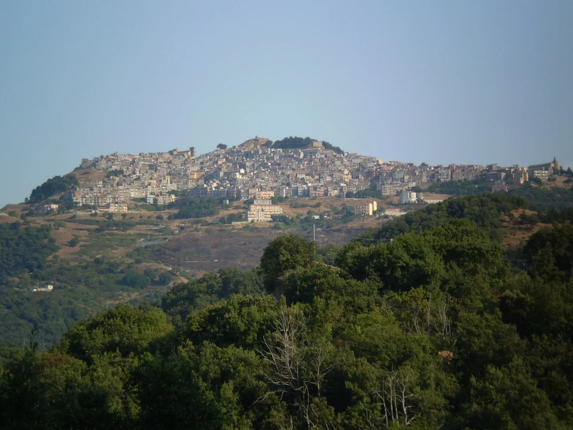
The village at a thousand metres above the Gole di Tiberio
664 m a.s.l.
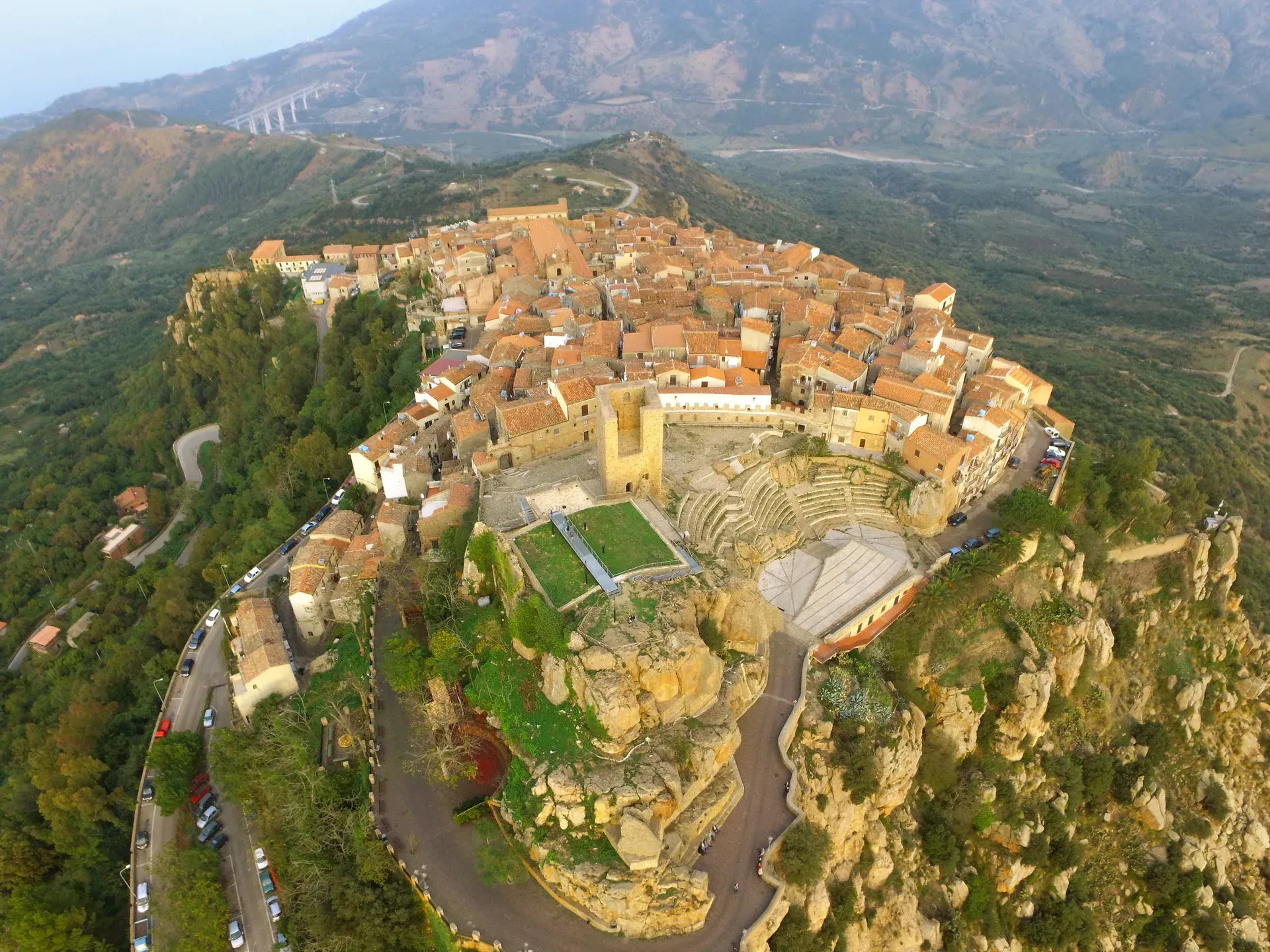
The stone theatre and the manna, above the sea at Finale
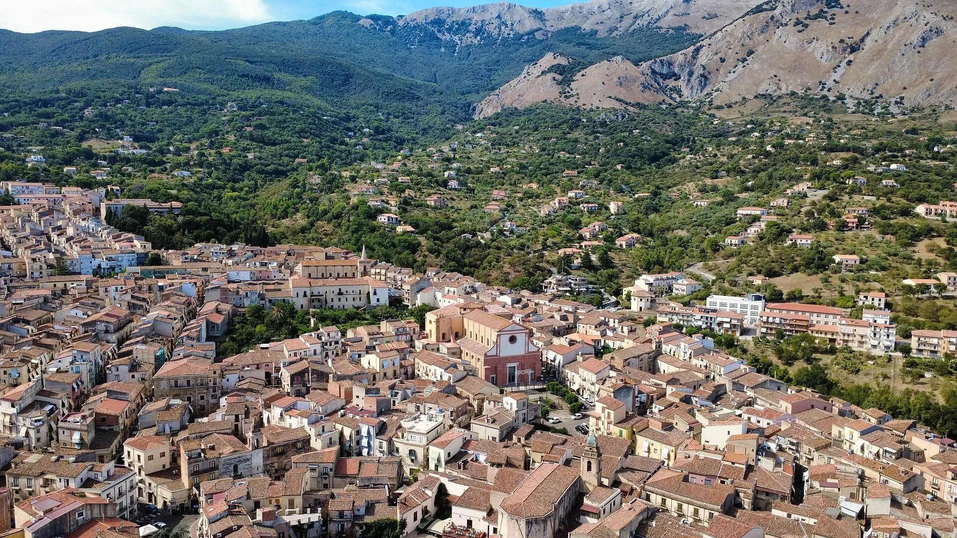
423 m a.s.l.
The town of the Ventimiglia castle, manna and testa di turco
680 m a.s.l.
The terrace over the Tyrrhenian Sea above Cefalù
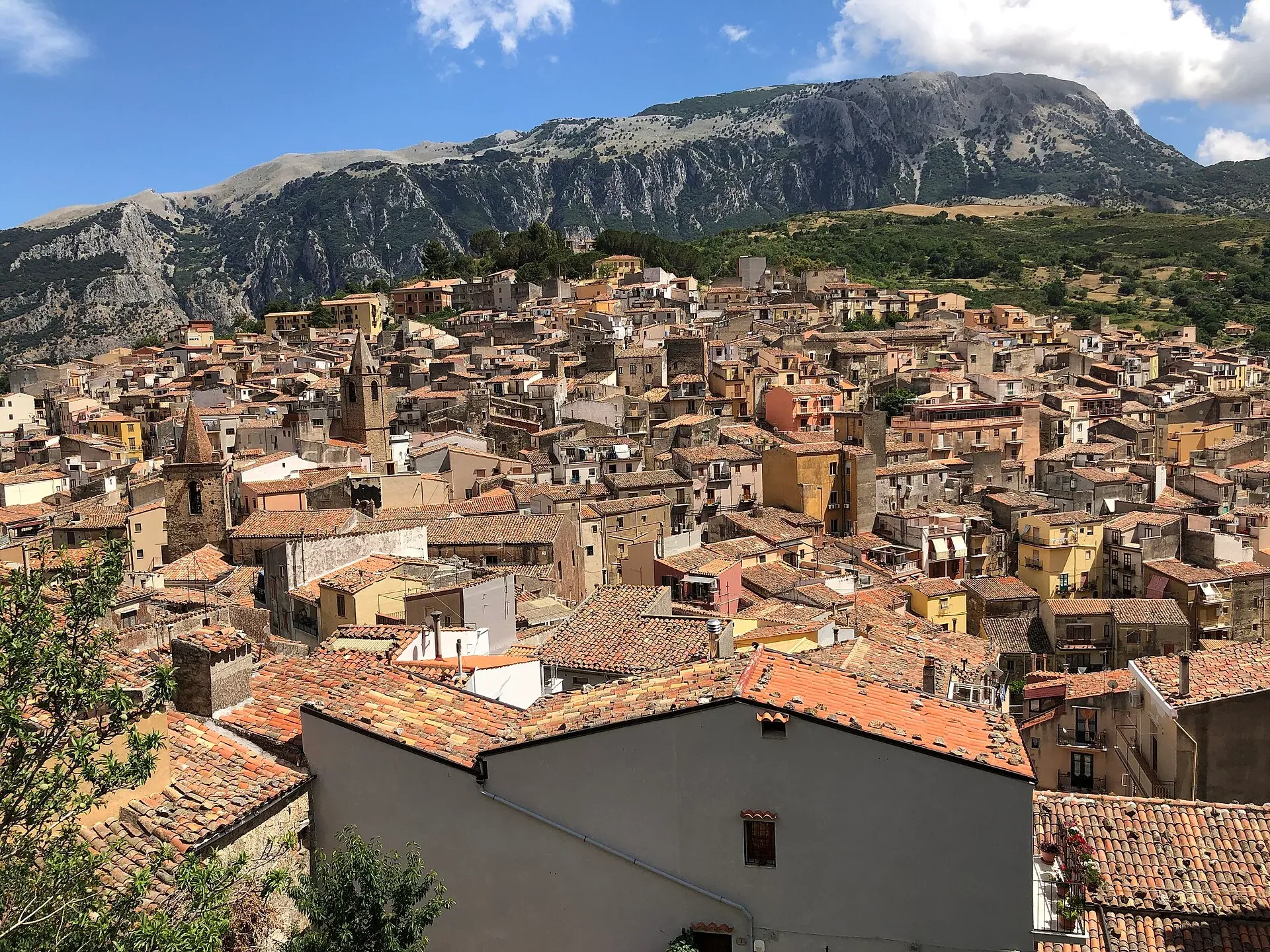
583 m a.s.l.
The town of the stars, beneath the Madonie cliffs
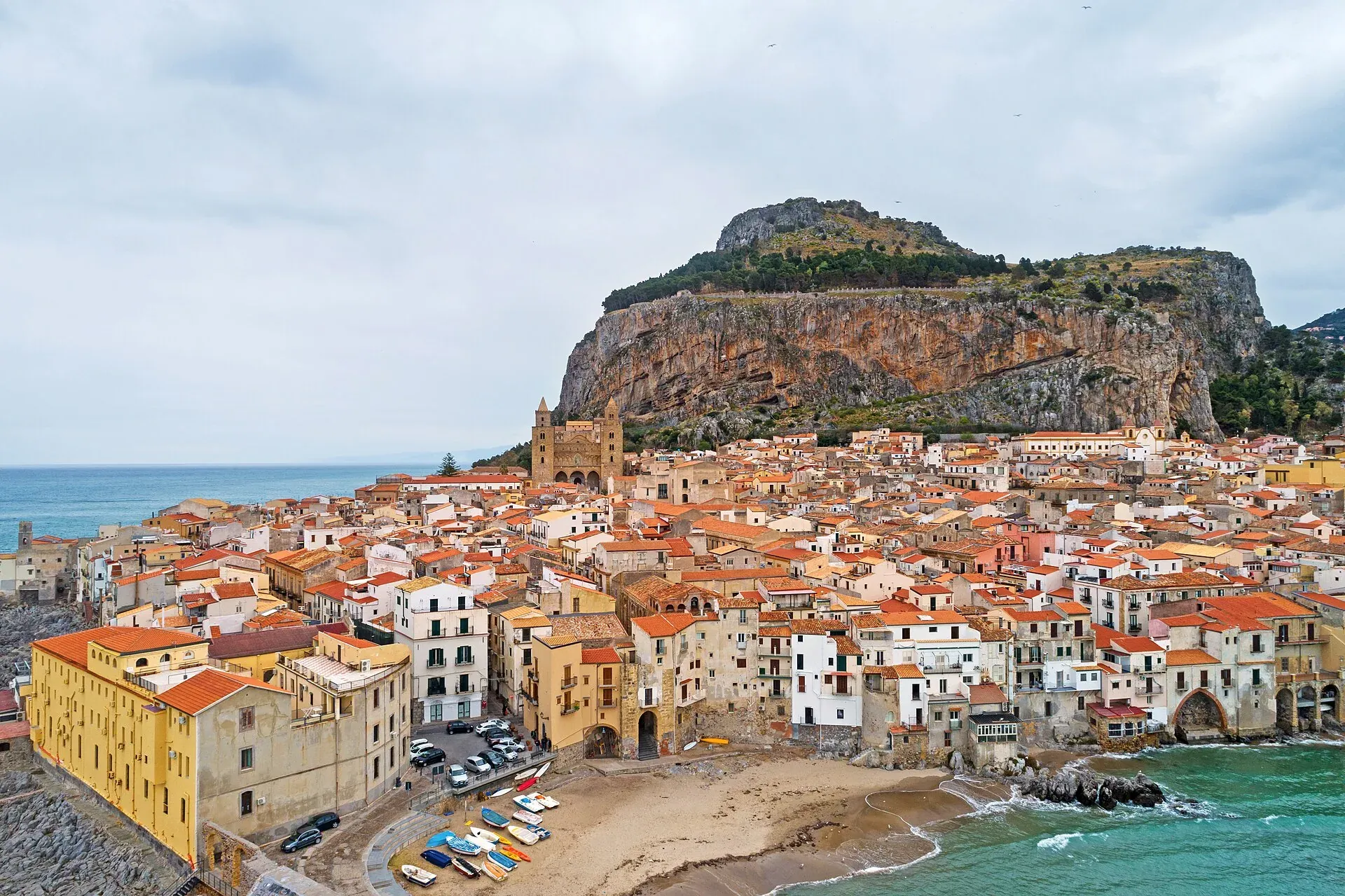
16 m a.s.l.
The Norman cathedral, the Rocca and the sea at the foot of the Madonie
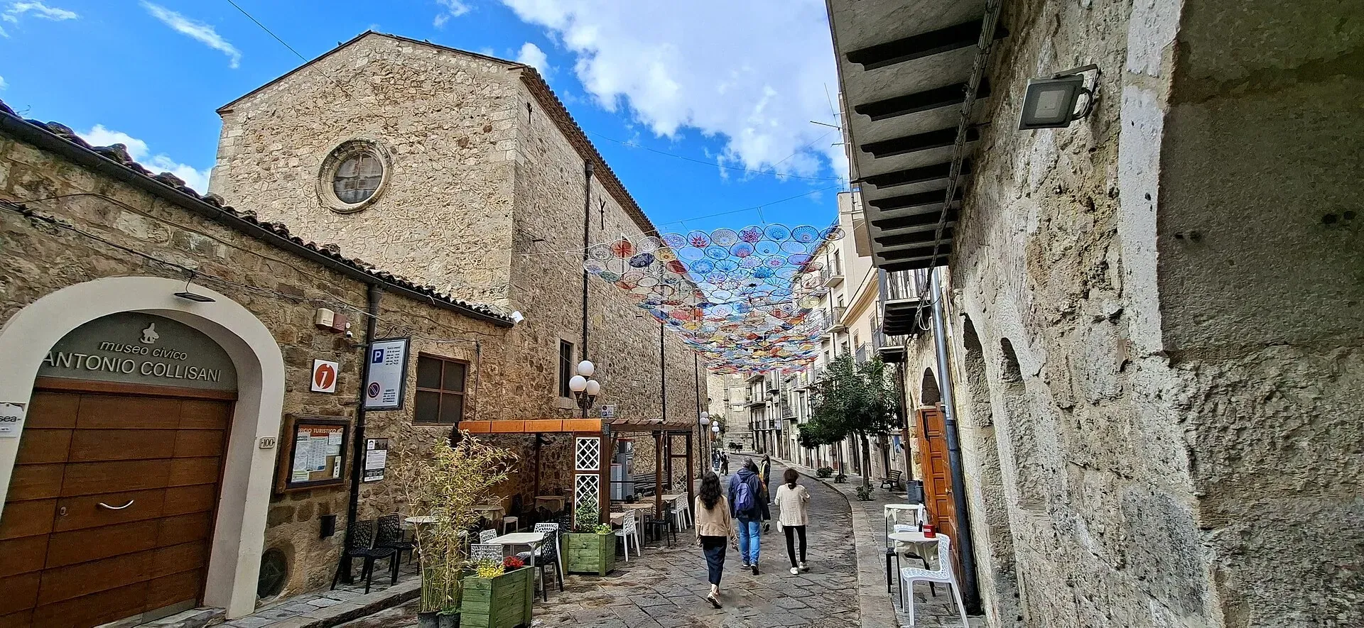
1,039 m a.s.l.
Home of the Madonie Park, at the foot of Piano Battaglia
239 m a.s.l.
Springs, water mills and oranges
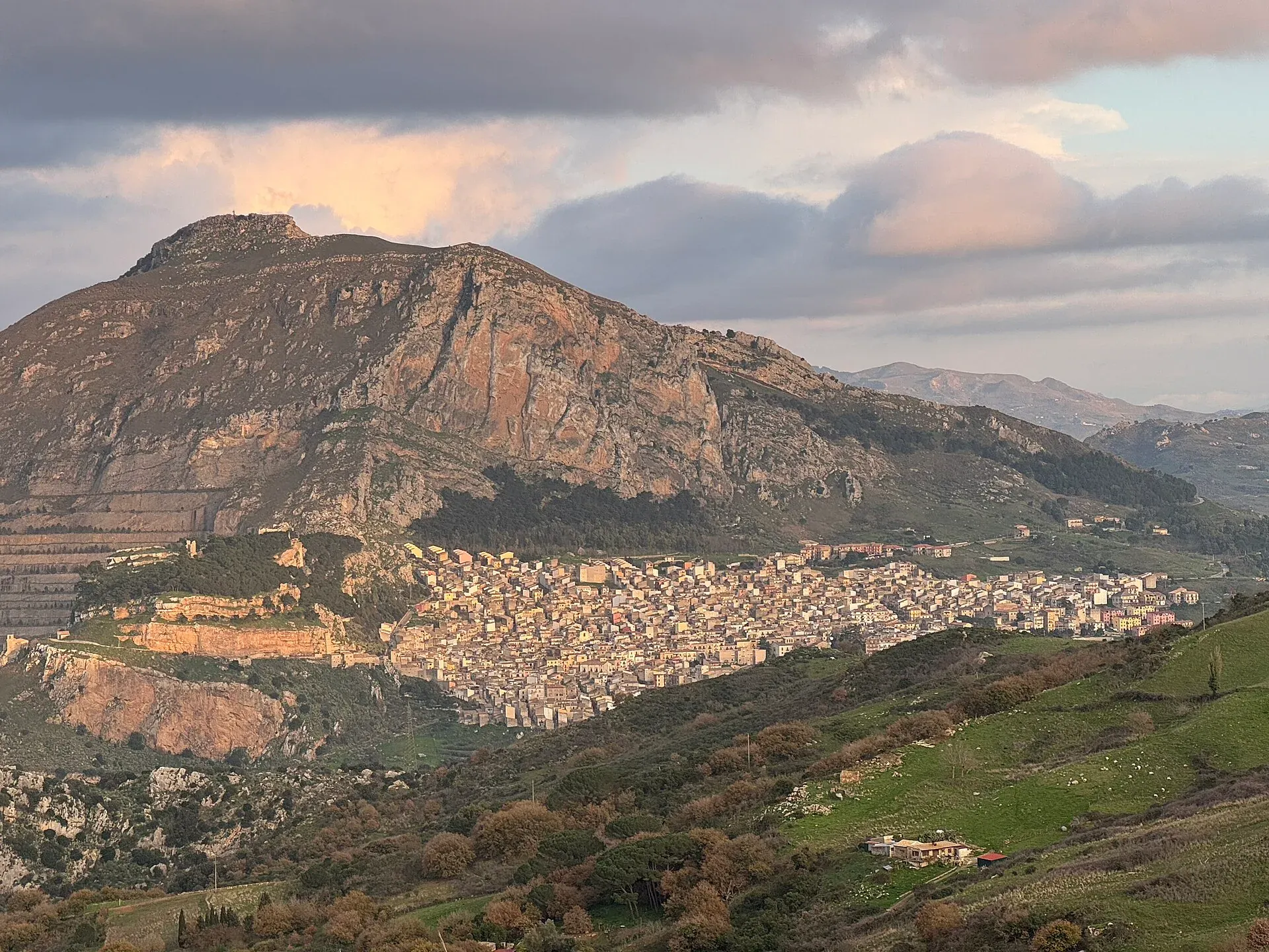
631 m a.s.l.
The village below the Rocca di Sciara
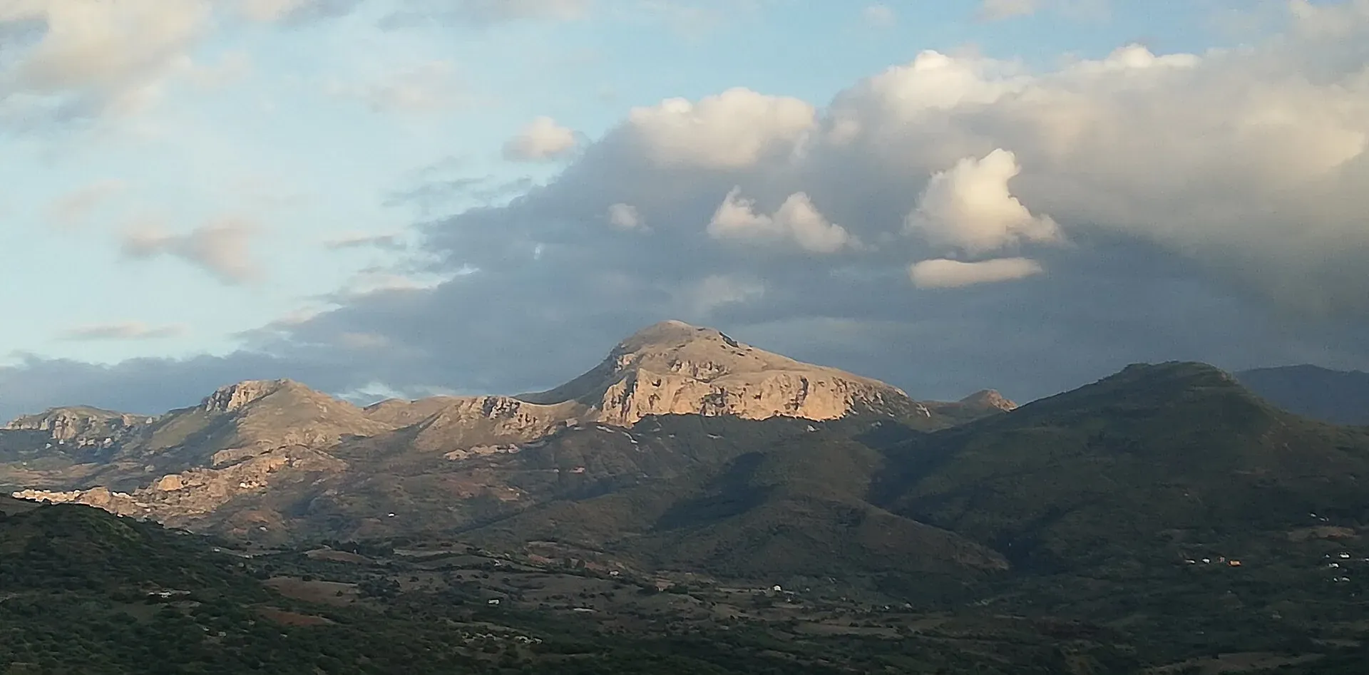
Nature
Madonie UNESCO Global Geopark: a geopark since 2001, UNESCO since 2015, 70 geosites and 220 million years of history. What to see, geological trails, museums.
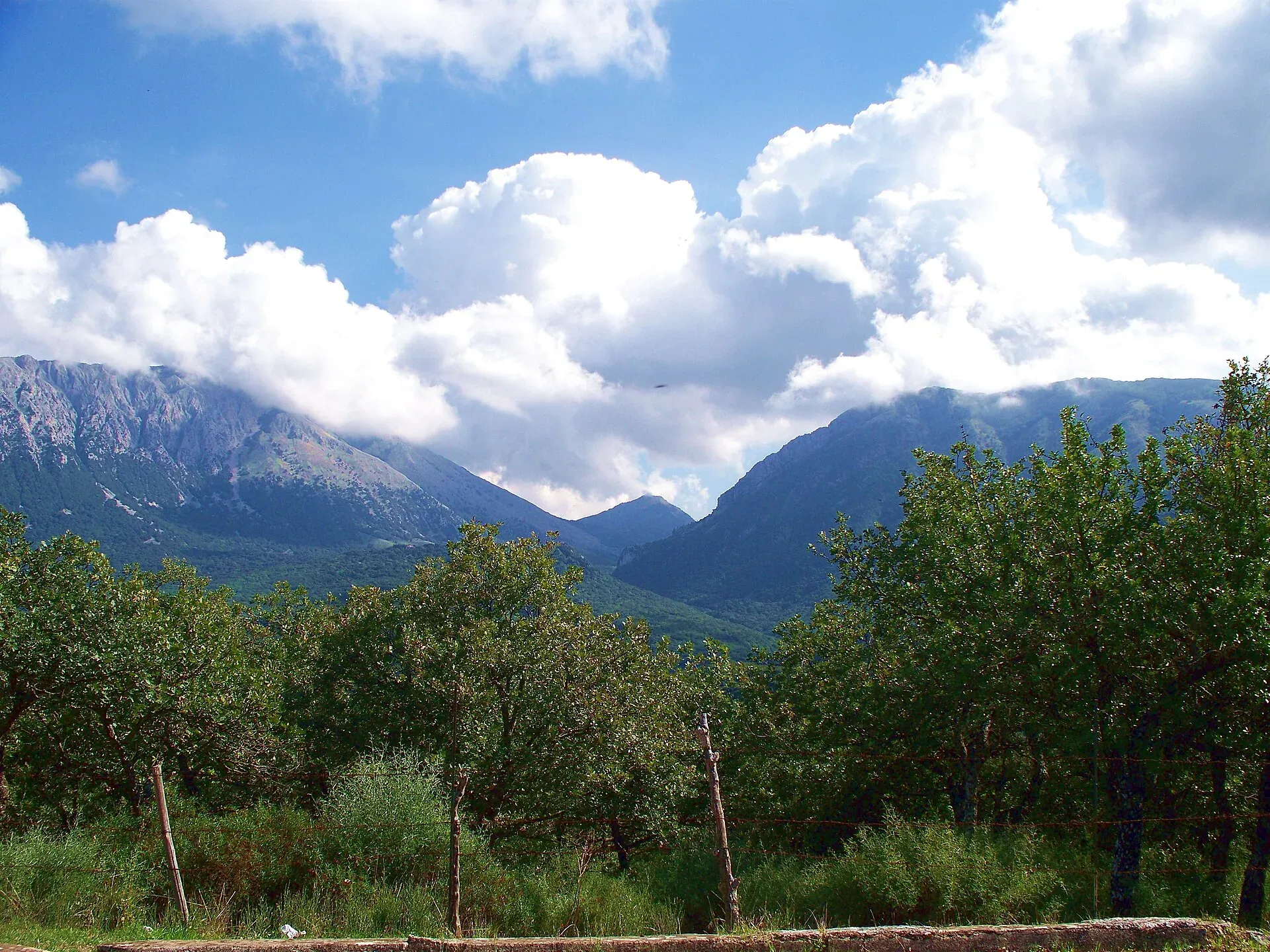
Nature
Madonie Park (Parco delle Madonie): 39,679 hectares and 15 towns between Cefalù and the Petralias, founded in 1989. Zones, rules, sights and how to get there.
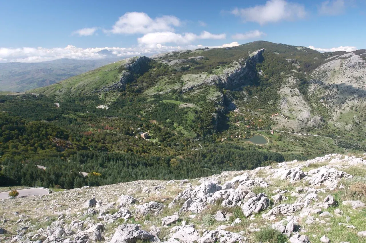
Nature
The peaks of the Madonie: Pizzo Carbonara 1,979 m, Pizzo Antenna Grande, Monte San Salvatore, Quacella and Mufara. Table of heights, trails and practical tips.
Nature
The plateaus of the Madonie: Piano Battaglia at 1,572 m, Piano Zucchi, Piano Sempria, Piano Cervi, Piano Pomo and Piano Catarineci. Heights, access, what to do.
Nature
The best viewpoints in the Madonie: Pizzo Carbonara, Madonna dell'Alto, Monte San Salvatore, Pollina and the SP54 lookouts. Where to see Etna and the Aeolians.
Travel info
Itineraries