Travel info
Things to do in the Madonie
Hiking in the Madonie Park: where to walk, the right season, the CAI difficulty scale, the Sentiero Italia, hiking guides, the CAI and the Park rules.
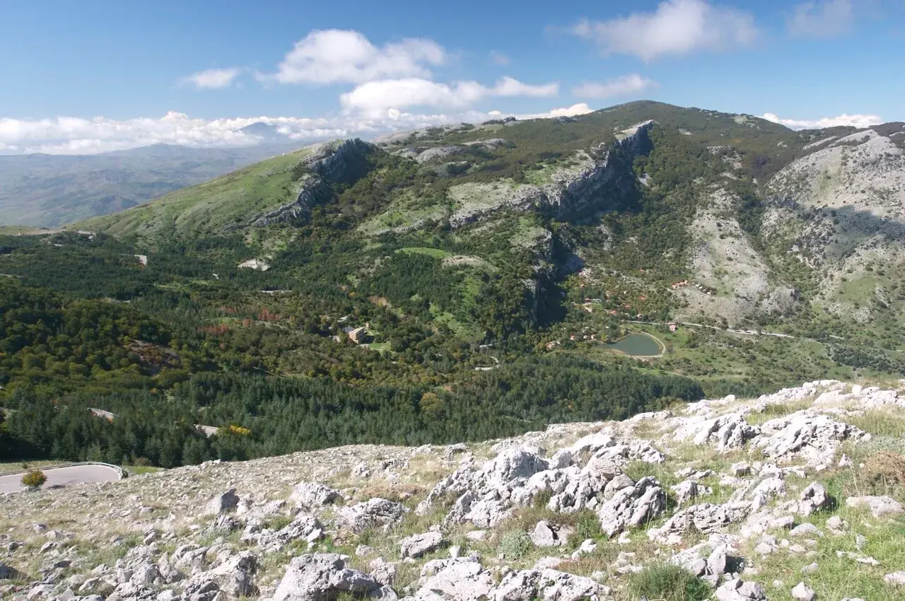
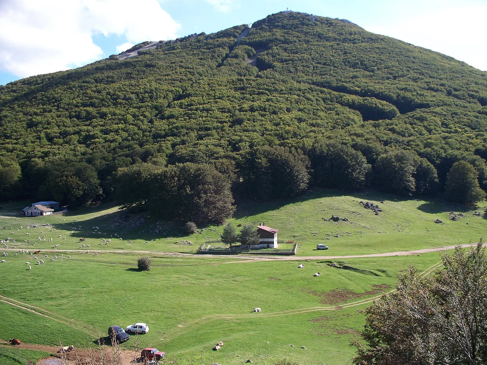
Hiking in the Madonie happens in the Parco delle Madonie (Madonie Park), between Cefalù and the two Petralias, on a network the Park authority describes as 29 trails covering almost 300 km, plus the stages of the Sentiero Italia CAI. The heart of it is around Piano Battaglia and Pizzo Carbonara, 1,979 metres. The best months are spring and autumn, most trails are graded E and inside the Park you find no water or services outside the villages.
Here you will find how to choose your area, season and route. The pages on individual trails are in the list of Madonie trails; GPX tracks, elevation gain and altitudes are on sentierisiciliani.it.
At a glance
The Madonie are not a single block. Rock, woodland and altitude change from one valley to the next, and the starting point decides almost everything. This table lists the areas with the trails we have already described.
| Area | Starting municipality | What you find | Trails on this site |
|---|---|---|---|
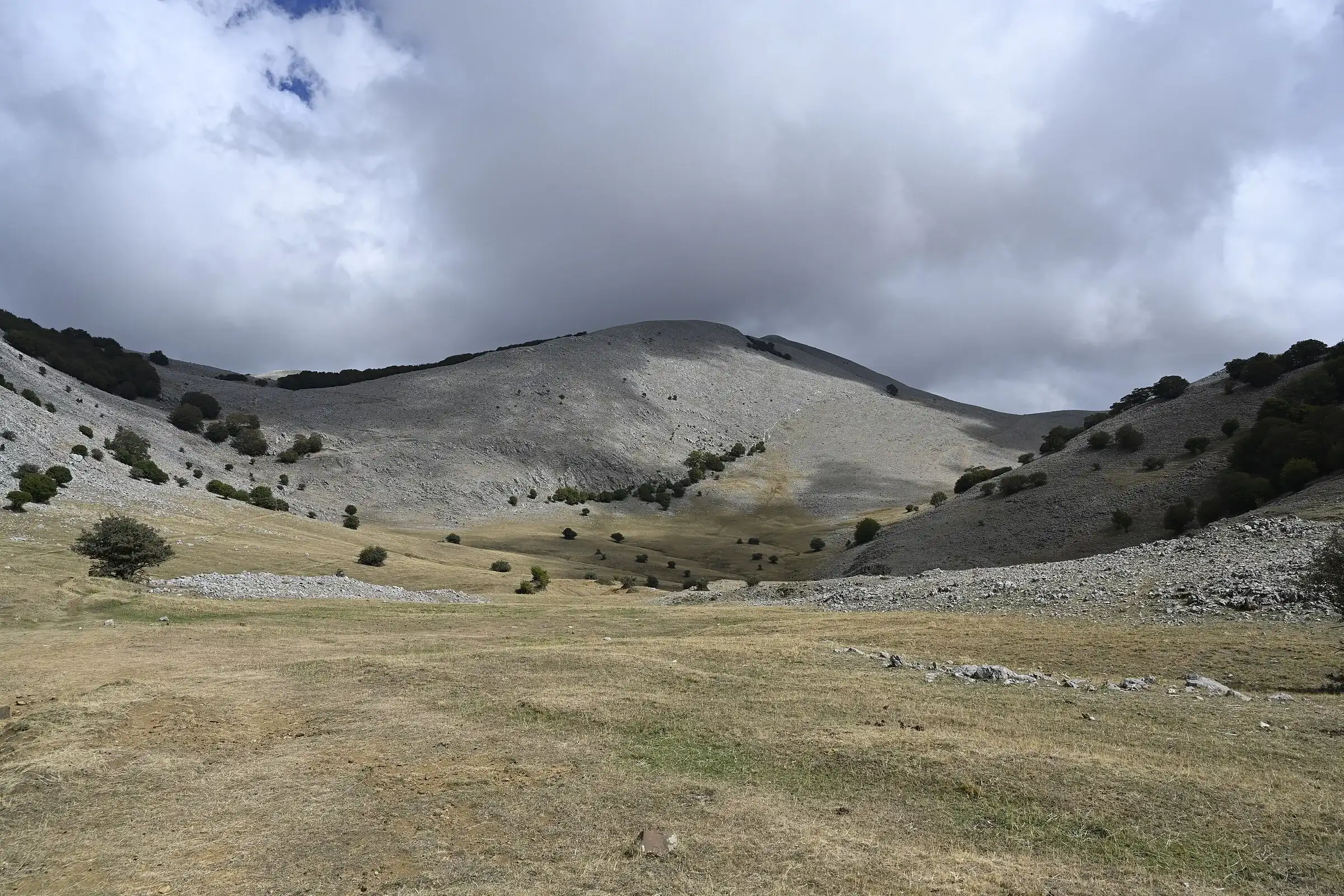
| Piano Battaglia and Pizzo Carbonara | Petralia Sottana, Isnello | Beech woods, dolines, the highest peak | Pizzo Carbonara |
| Portella Colla and Vallone Madonna degli Angeli | Polizzi Generosa | The Madonie fir, Monte San Salvatore | Abies nebrodensis, Monte San Salvatore |
| Quacella | Polizzi Generosa | Ridges and rock faces, tougher ground | Monte Quacella (EE) |
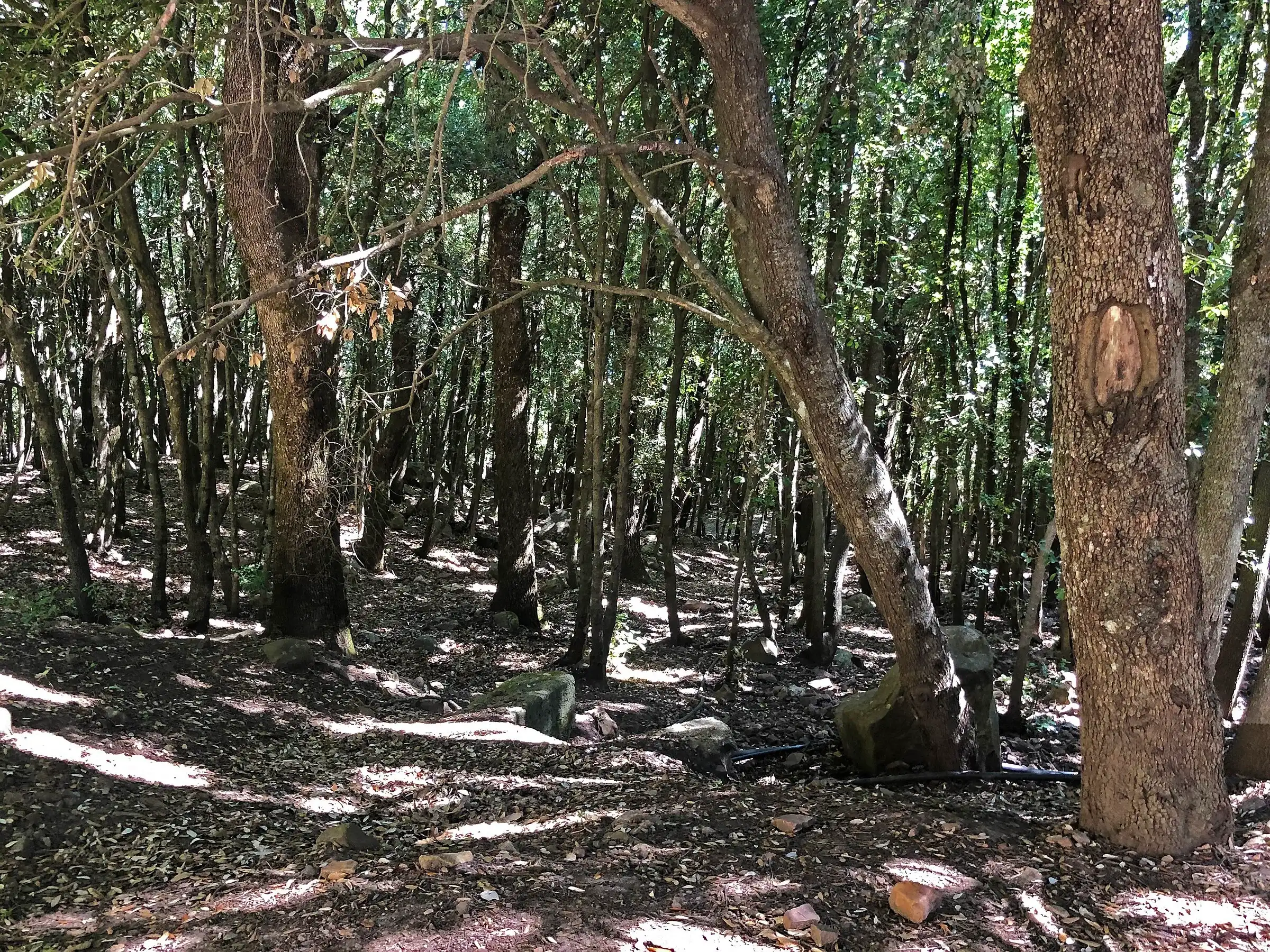
| Piano Sempria and Piano Pomo | Castelbuono | Centuries-old oaks and giant hollies | Bosco di Castelbuono |
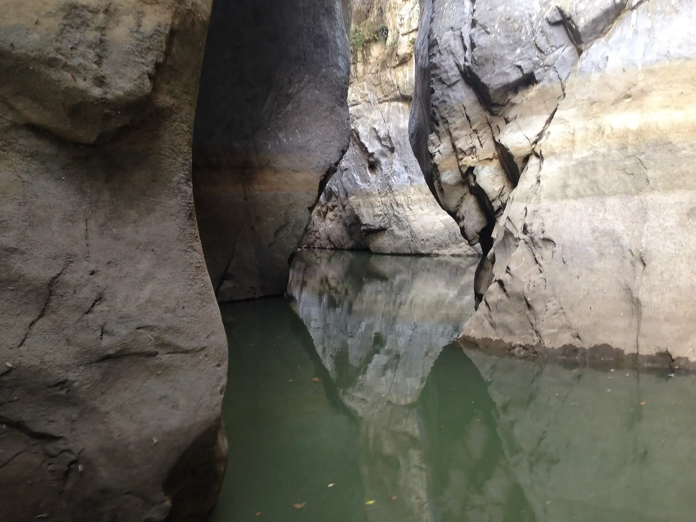
| Pollina valley | San Mauro Castelverde | A canyon on the Pollina river, a Geopark geosite | Gole di Tiberio |
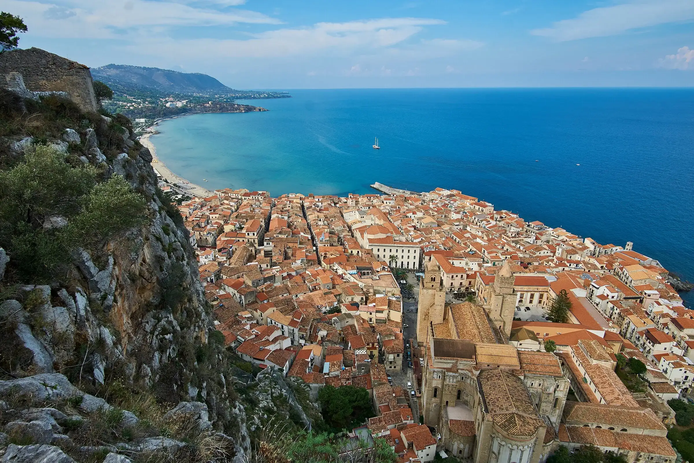
| Coast | Cefalù | The Rocca above the town and the Temple of Diana | Rocca di Cefalù (T) |
| From the plateaus down to the villages | Piano Battaglia, Petralia Sottana | A traverse along the Sentiero Italia | Sentiero Italia, Piano Battaglia-Petralia Sottana |
Since February 2026 the SP119 between Polizzi Generosa and Portella Colla has been closed by a landslide: you reach Portella Colla from Piano Battaglia along the SP54.
For the heights and ascent routes of every summit there is the guide to the Madonie peaks; for protection zones and municipalities, the guide to the Parco delle Madonie.
If it’s your first time, start from Piano Battaglia. You get there by car from Collesano, Isnello or Petralia Sottana, you find parking and mountain huts, and there are trails for half a day or a whole day. Before going up in winter, check the page on Madonie roads.
The Park authority recommends spring and autumn for hikes and advises against winter for crossings of the High Madonie. Each season has its reasons and its limits.
| Season | Why go | What to watch out for |
|---|---|---|
| Spring (April-June) | Snow retreating, beeches coming into leaf, flowers; in late May the broom Genista demarcoi blooms below Pizzo Dipilo | Leftover snow patches up high until April, mud |
| Summer (July-August) | Cooler at altitude than on the coast, long days | Strong sun on shadeless plateaus; on days of high fire risk the Park authority asks people not to hike |
| Autumn (September-November) | Yellow and red beech woods from October to early November, clear air | Short days, sudden fog, first cold spells |
| Winter (December-March) | Snow on the plateaus of Piano Battaglia | Crossings not recommended; you need snowshoes, equipment and the ability to read the bulletin |
For autumn colours there is the guide to the beech woods in autumn. For snow, the snow in the Madonie section, with the page on winter safety.
One last thing to check, in every season. In its notices the Park authority publishes the days of wildlife control with firearms: in those areas, from dawn to sunset, you must not go in. On 14 October 2026, for example, it was the turn of Alastri, Catarratti, Sant’Otiero, Taccarelle and Mandarini, in Petralia Sottana.
Madonie trails use the scale of the Club Alpino Italiano. The full explanation, with waymarks and what to bring, is in the article on the CAI scale and safety. Here you only need to know how it translates in these mountains.
| Grade | What it means | Example in the Madonie |
|---|---|---|
| T | Tourist: short, clear routes on roads or mule tracks | The Rocca di Cefalù |
| E | Hiking: waymarked paths, some steep sections, you need a steady step and suitable shoes | Pizzo Carbonara, Monte San Salvatore, the Abies valley, the Castelbuono woods, the Gole di Tiberio |
| EE | For expert hikers: rough ground, steep or slippery slopes, exposed sections | Monte Quacella |
| EEA | Routes equipped with cables and ladders | None among the trails published on this site |
The grade measures the terrain in good weather. With snow, ice or fog an E trail gets harder, and Madonie rescues show it well: three young people who reached the top of Pizzo Carbonara lost the path on the way down, in the dark and without suitable gear, and Alpine Rescue teams brought them down.
The Sentiero Italia CAI crosses the Madonie from west to east. The distances below come from the CAI’s official stage sheets, where you also find elevation gain, times and tracks.
| Stage | From | To | Distance |
|---|---|---|---|
| SI V14 | Montemaggiore Belsito | Scillato | 20.2 km |
| SI V15 | Scillato | Piano Battaglia | 19.0 km |
| SI V16 | Piano Battaglia | Petralia Sottana | 13.9 km |
| SI V16V (variant) | Piano Battaglia | Petralia Sottana | 10.1 km |
| SI V17 | Petralia Sottana | Contrada Rainò | 13.1 km |
| SI V18 | Contrada Rainò | Sella del Contrasto (Gangi) | 23.3 km |
V15 is the hard one: from Scillato you climb all the way to Piano Battaglia at 1,587 metres. On arrival the welcome point listed by the CAI is the Rifugio Giuliano Marini.
The Madonie also have pilgrim routes. According to the Park authority, the Via dei Frati runs for 173.2 km from Caltanissetta to Cefalù on provincial roads, old drove roads and paths, and in the Madonie it passes through Gangi, Geraci Siculo and Castelbuono.
On your own you can do the waymarked trails you know. For everything else it’s worth having someone local.
Hiking guides. The Sicilian Region keeps a register of environmental, nature and hiking guides: on 7 October 2026 it held 668 names. It is not a licence to practise, but for each person it records their qualification and membership card number. When you book, ask the guide which association they belong to and about insurance cover.
CAI. In the Madonie there are the Madonie section in Petralia Sottana, the Polizzi Generosa section and a group in Gangi, all of which appear in the 2026 Geopark Week programme. Club outings are designed for members: ask the section how to take part.
Park authority and Punti Qui Parco. Between late May and early June the European Geoparks Week fills the calendar with guided visits to geosites and trails. In 2026 they included the Monumental Trees trail at Pomieri and the Battaglietta-Portella Colla geological trail.
Trails for everyone. The association Madonie a passo lento, with Madonie Outdoor asd, runs outings with the joëlette, the single-wheel off-road chair for people with reduced mobility. The Park authority lists the trails of Piano Cervi, Piano Battaglia, Battaglietta, Piano Farina and Piano Catarineci as suitable.
The Parco delle Madonie warns that visiting it means accepting the natural risks of the terrain, and that outside the villages there is no water, food or assistance. Pack accordingly:
The main rules, from the Park’s list of prohibitions:
On dogs: a regional decree of October 2025 allows them on a lead in protected areas, but only on trails chosen by each managing body. For the Madonie, ask the Park authority which ones.
Our trail pages give difficulty, approximate distance and time, the starting point and nearby villages. For the full track and profile, open the “Track and technical details” box on each page, which links to sentierisiciliani.it. To see all starting points on a map, use the Madonie map.
On a multi-day trek you sleep in mountain huts, farm stays or villages: you will find them all under where to stay in the Madonie. In winter, see the page on huts open in the snow.
And if you want a change of pace, the Madonie can also be explored by mountain bike and on horseback.
Updated on 19 October 2026
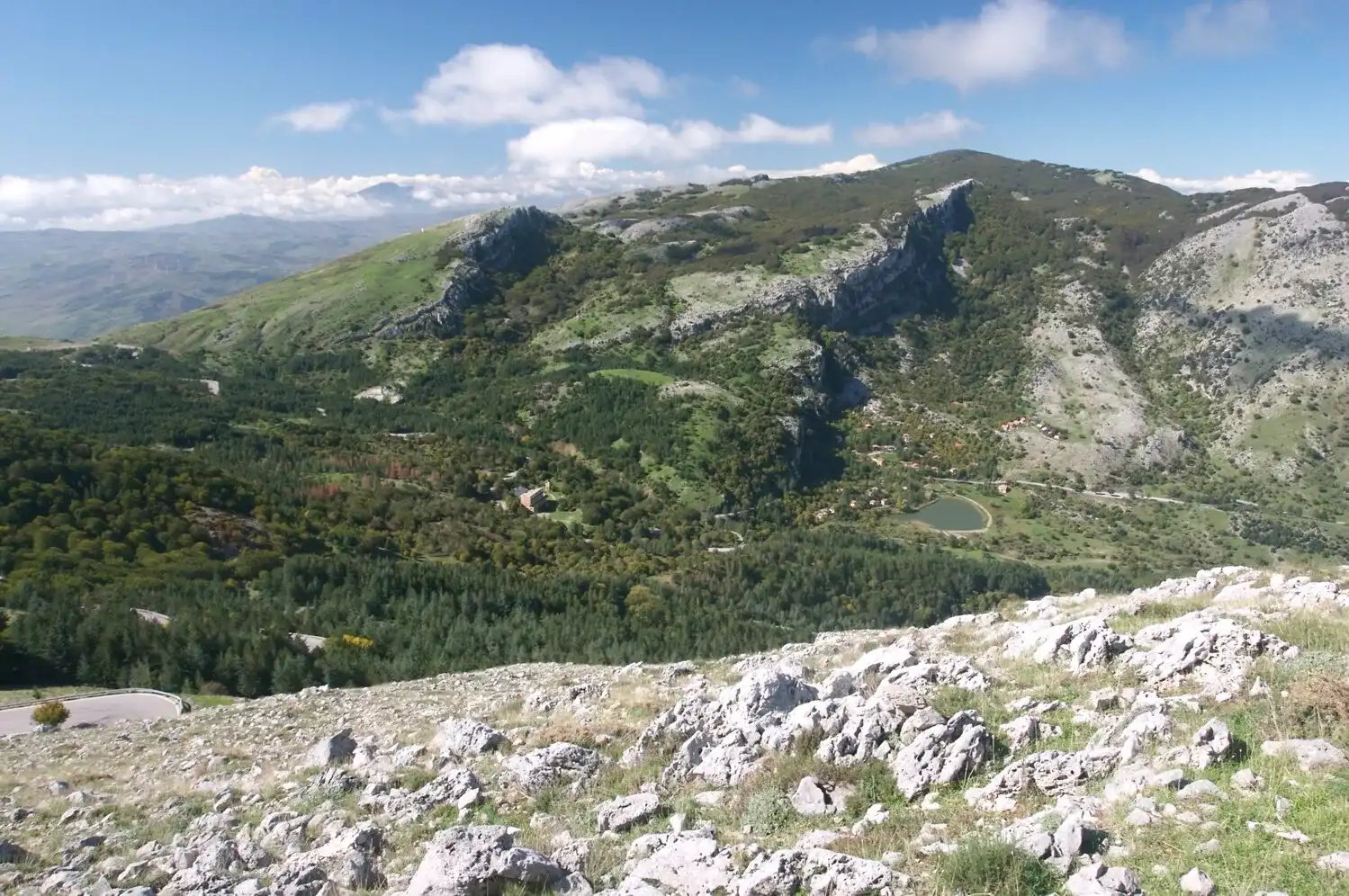 Hiking trail
Piano Battaglia · Loop
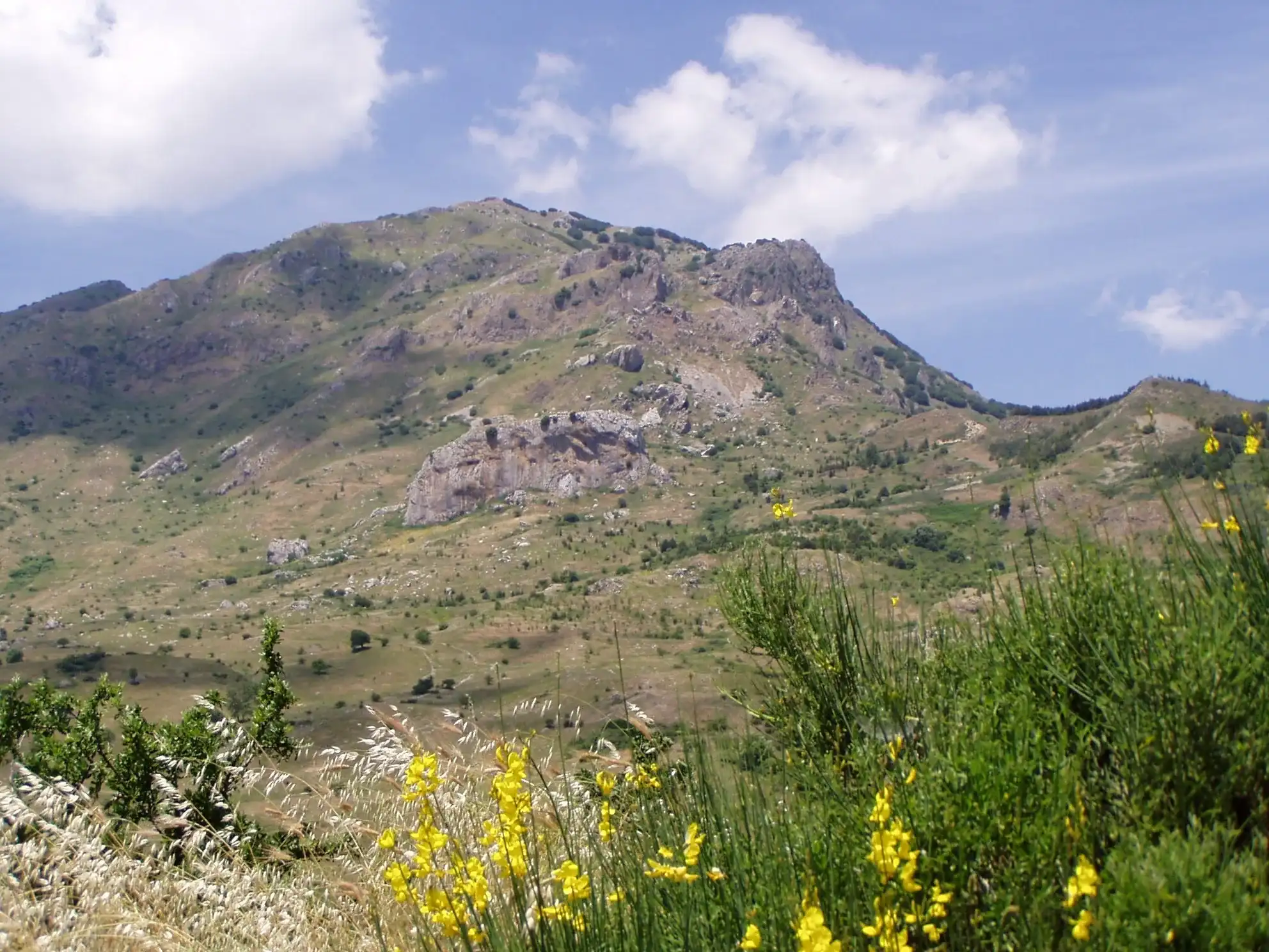 Hiking trail
Piano Noce, SP119 · Out and back
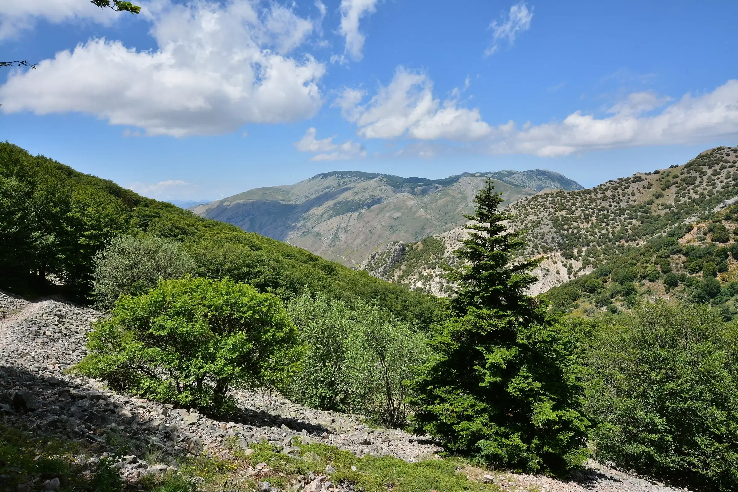 Hiking trail
Contrada Quacella, SP119 · Loop
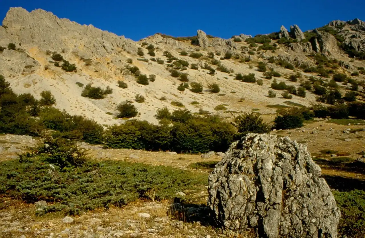 For experienced hikers
Polizzi Generosa · Out and back
 Hiking trail
Piano Sempria · Out and back
 Hiking trail
Case Marcatagliastro · Out and back
 Easy walk
Cefalù · Out and back
 Hiking trail
Piano Battaglia · Point to point
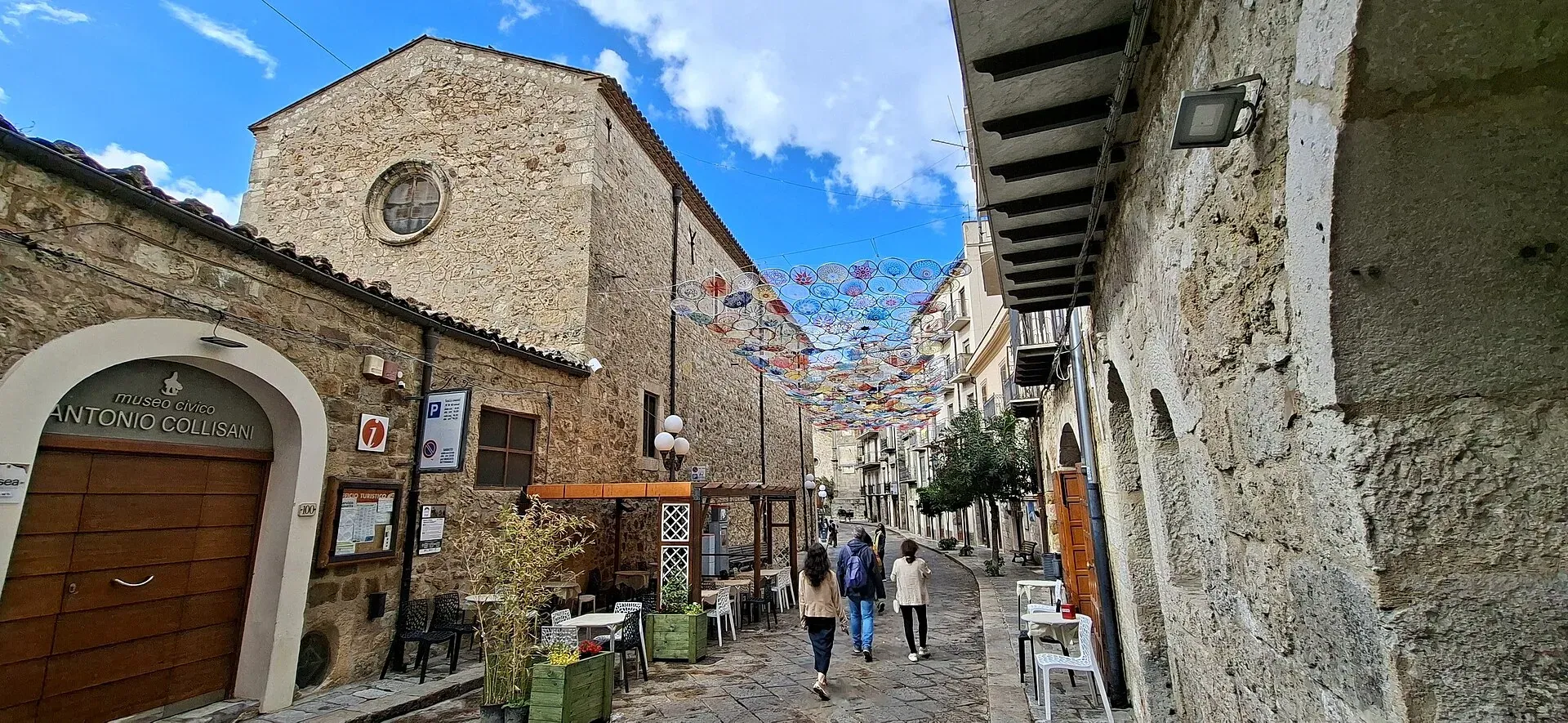
1,039 m a.s.l.
Home of the Madonie Park, at the foot of Piano Battaglia
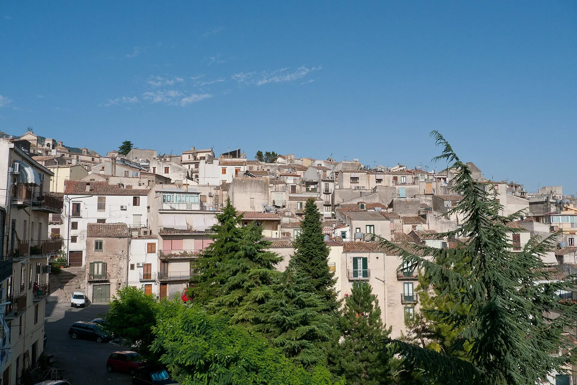
920 m a.s.l.
The town of the Abies nebrodensis, sfoglio and badda beans
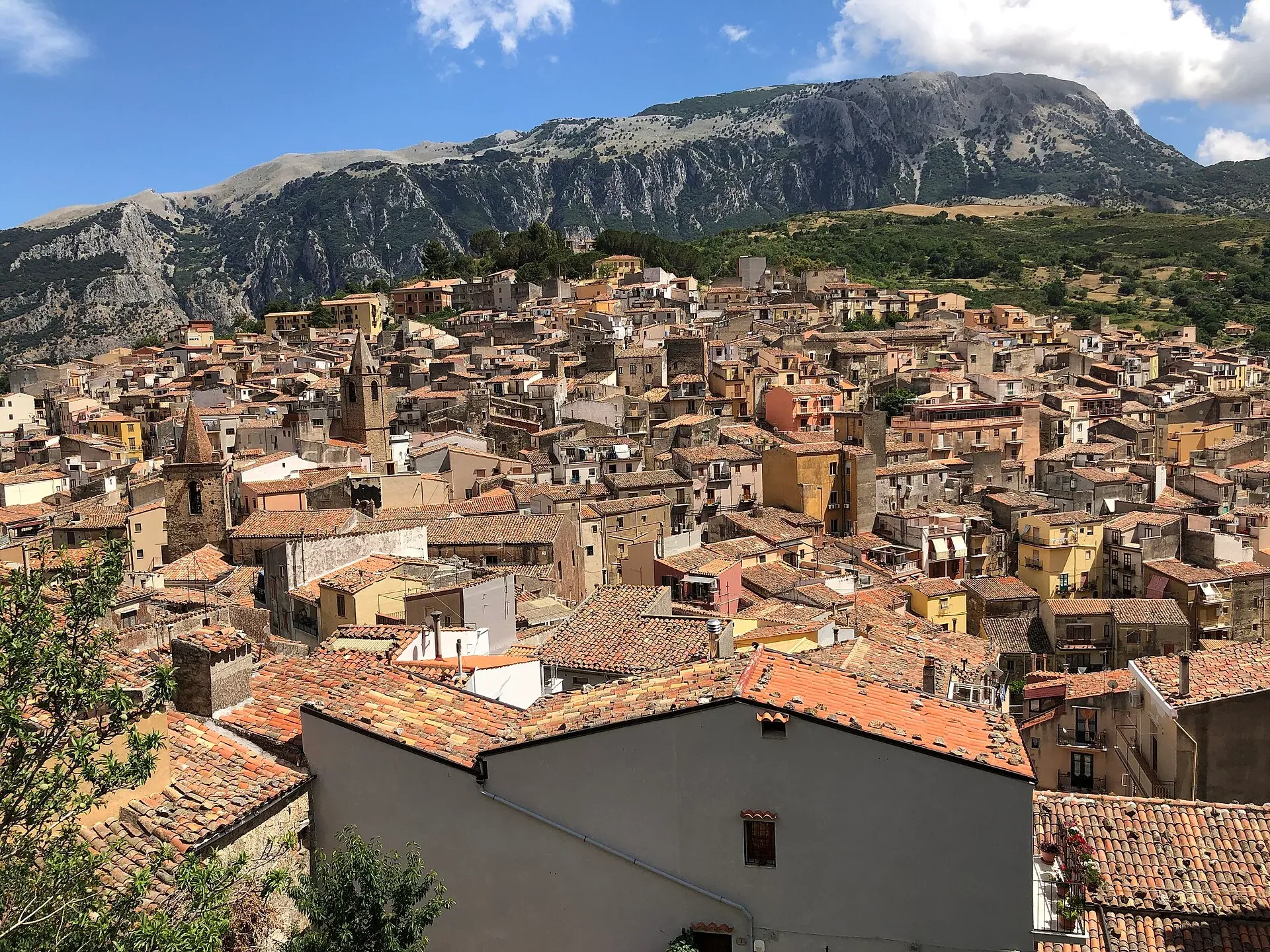
583 m a.s.l.
The town of the stars, beneath the Madonie cliffs
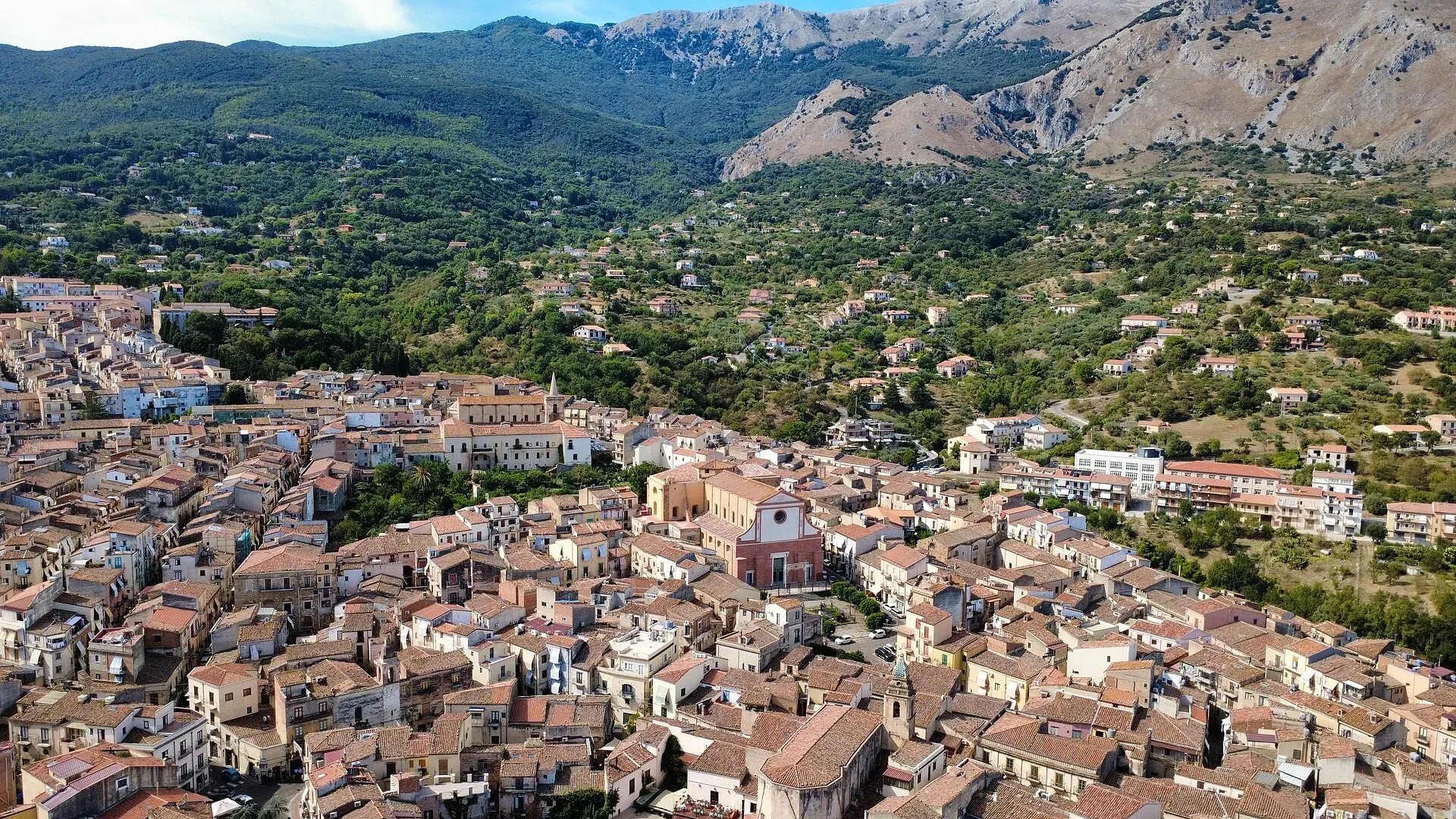
423 m a.s.l.
The town of the Ventimiglia castle, manna and testa di turco
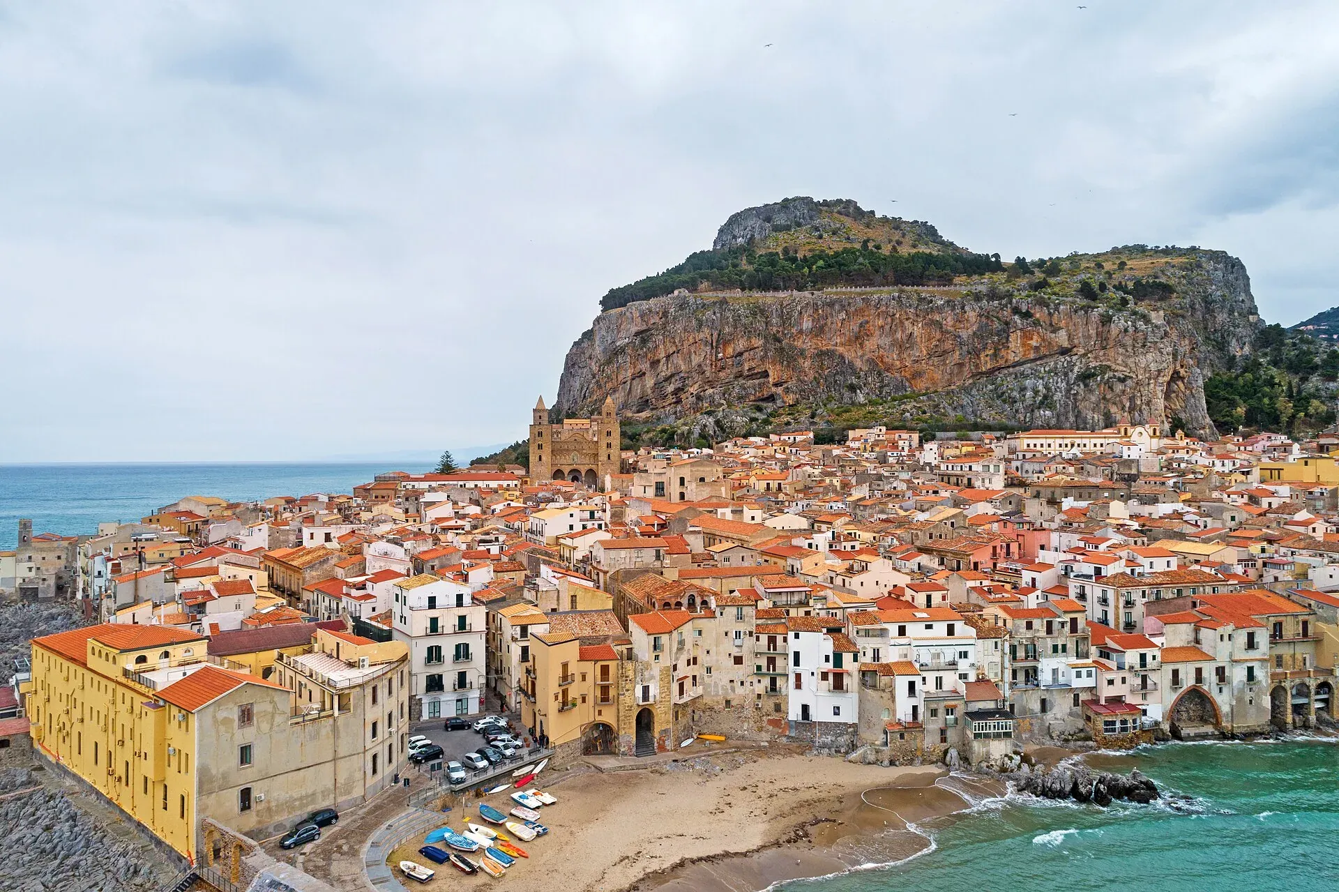
16 m a.s.l.
The Norman cathedral, the Rocca and the sea at the foot of the Madonie
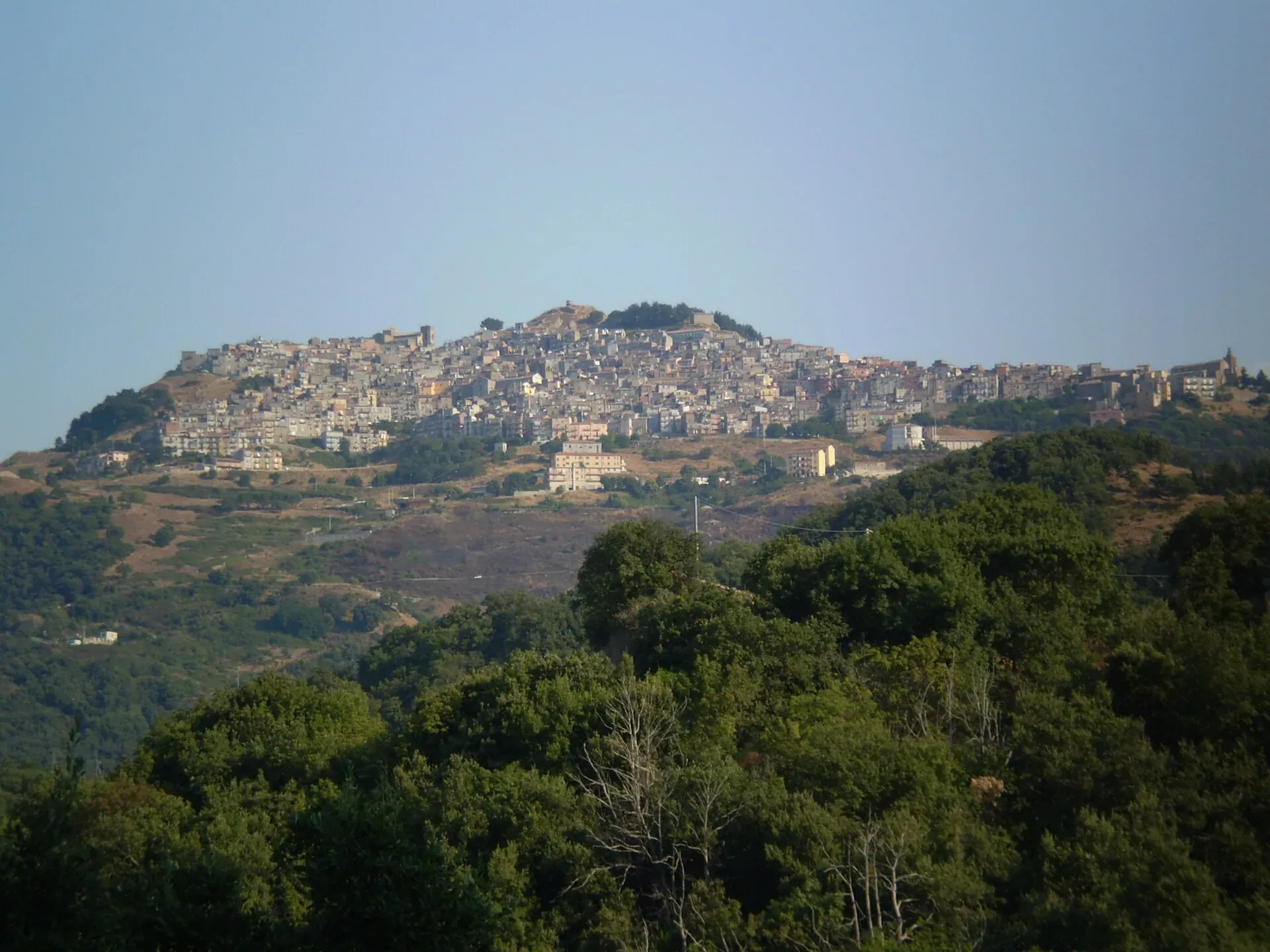
1,025 m a.s.l.
The village at a thousand metres above the Gole di Tiberio
239 m a.s.l.
Springs, water mills and oranges
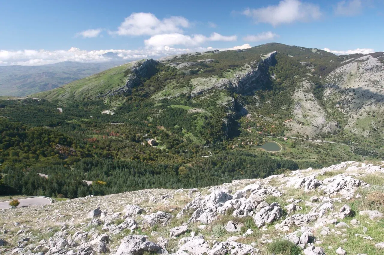
Things to do
The peaks of the Madonie: Pizzo Carbonara 1,979 m, Pizzo Antenna Grande, Monte San Salvatore, Quacella and Mufara. Table of heights, trails and practical tips.
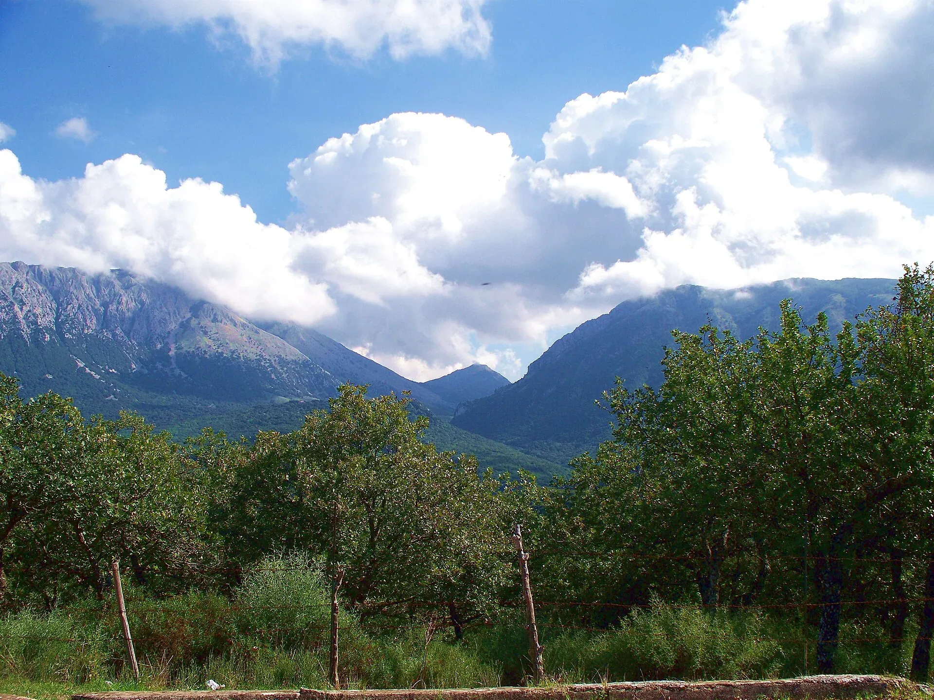
Things to do
Madonie Park (Parco delle Madonie): 39,679 hectares and 15 towns between Cefalù and the Petralias, founded in 1989. Zones, rules, sights and how to get there.
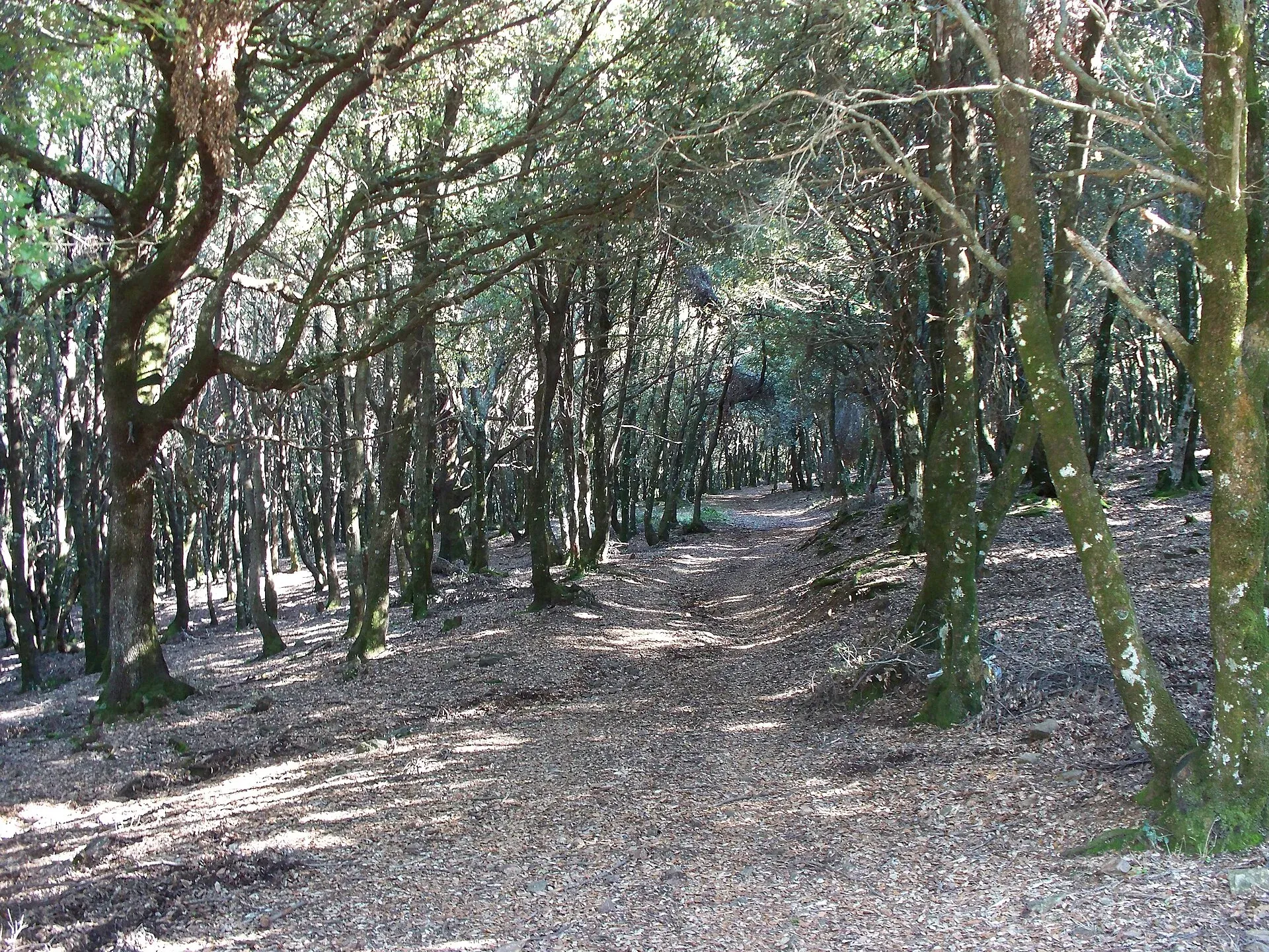
Things to do
What to do in the Madonie with children: Parco Avventura Madonie, Pollina Adventure, GAL Hassin, picnic areas, easy trails and sledging, with 2026 prices.
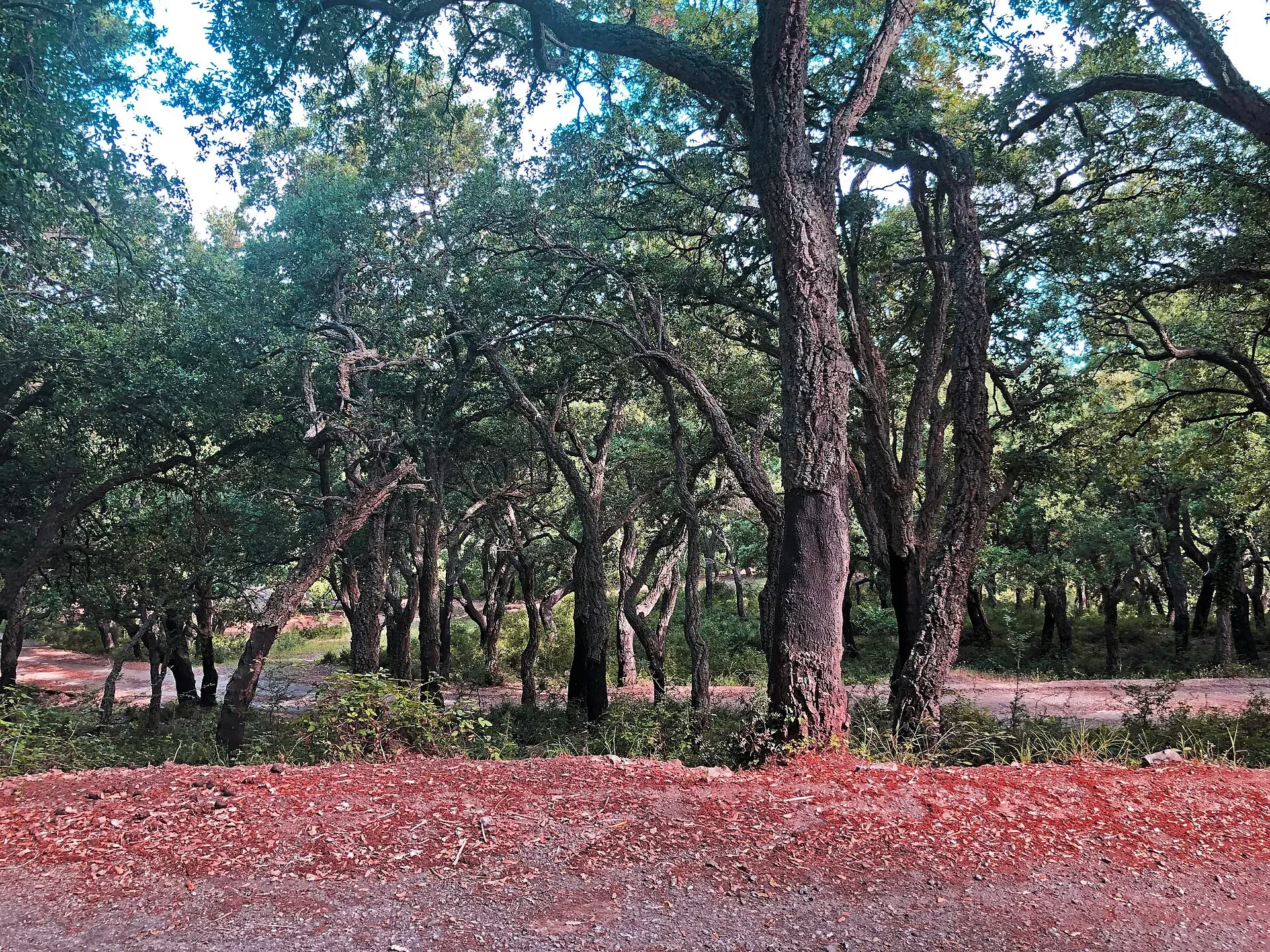
Things to do
MTB and e-bikes in the Madonie: where to ride around Piano Battaglia and Piano Zucchi, the CAI scale, the Ciclovia dei Parchi, bike hire and Park rules.
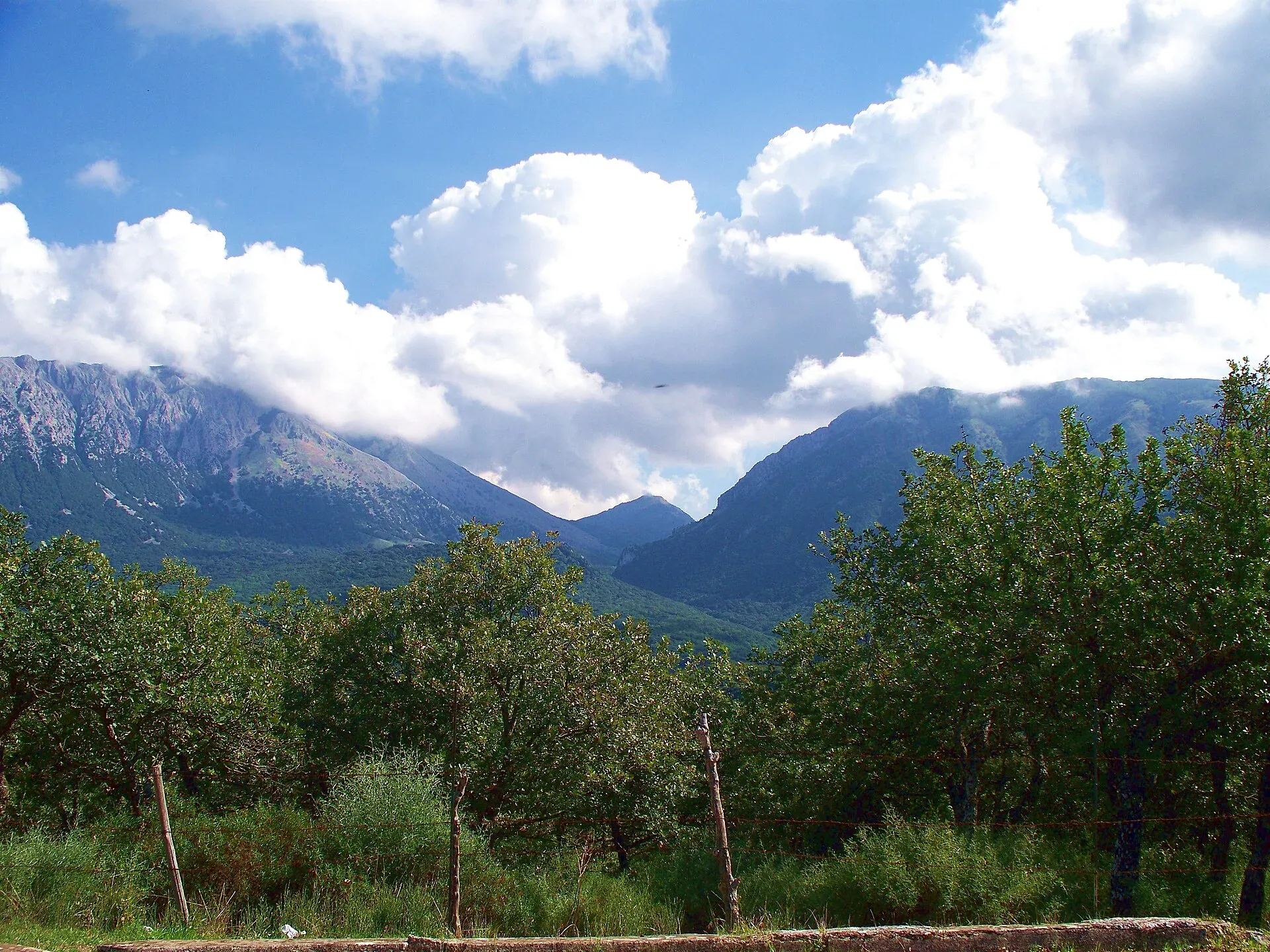
Things to do
Horse rides and treks in the Madonie: the Park's bridle paths on the old royal drove roads, riding centres listed by the Park authority, seasons and rules.
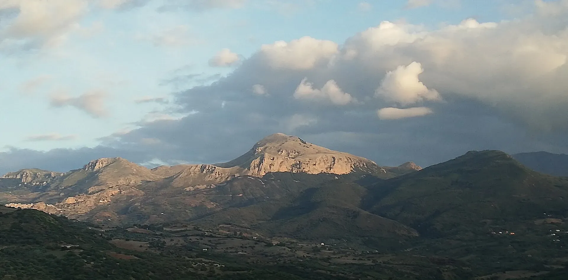
Things to do
Photography in the Madonie: autumn colours, snow, flowers, sunrise and sunset at Piano Battaglia, the Milky Way over Isnello, hill villages, wildlife, drones.
Travel info
Nature
Itineraries