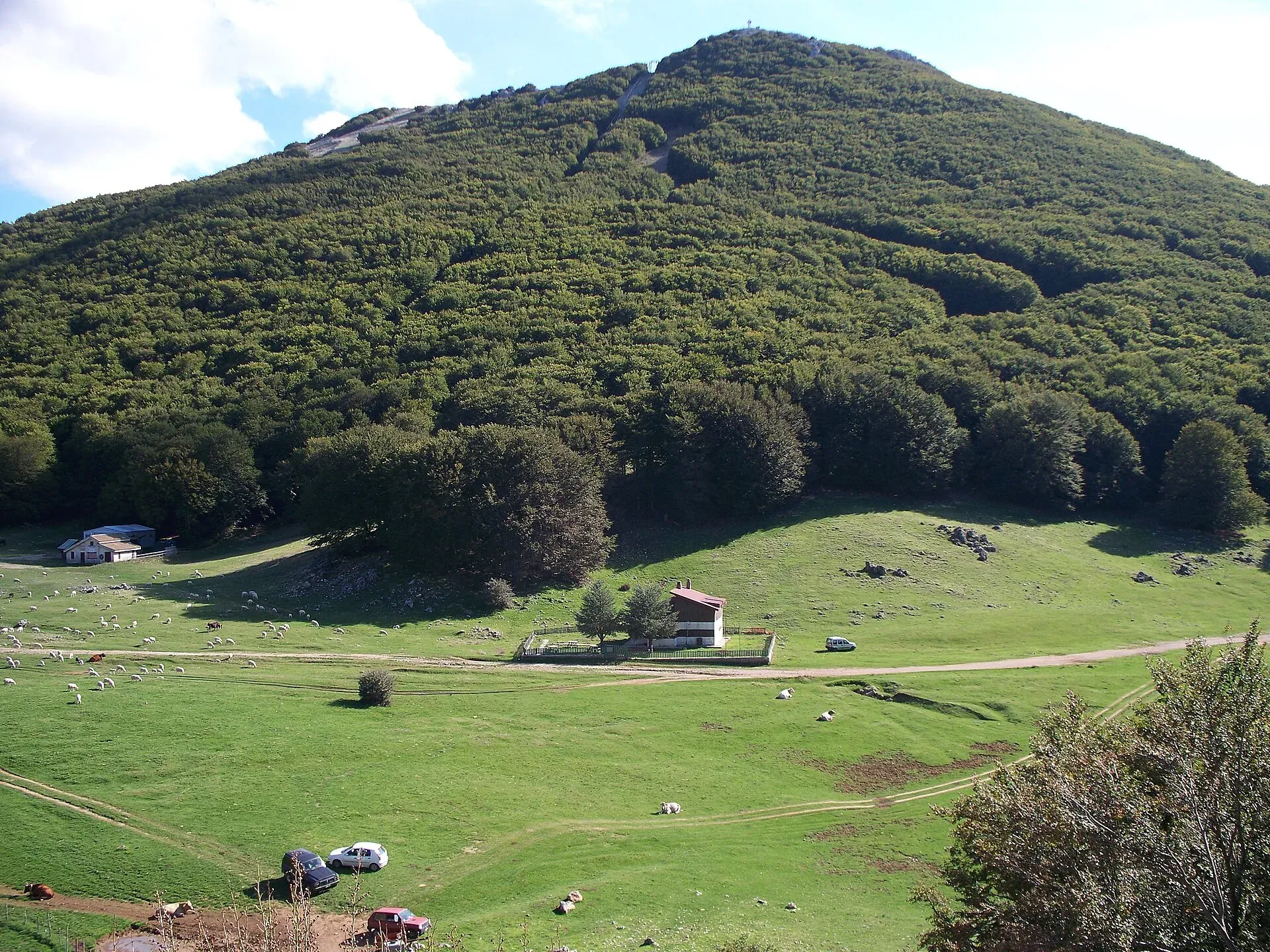
Nature
Madonie Park · UNESCO Geopark
Beech woods that turn copper in autumn, karst plateaus, gorges cut by rivers and the fir tree that grows only here. The landscape of the Madonie, explained.
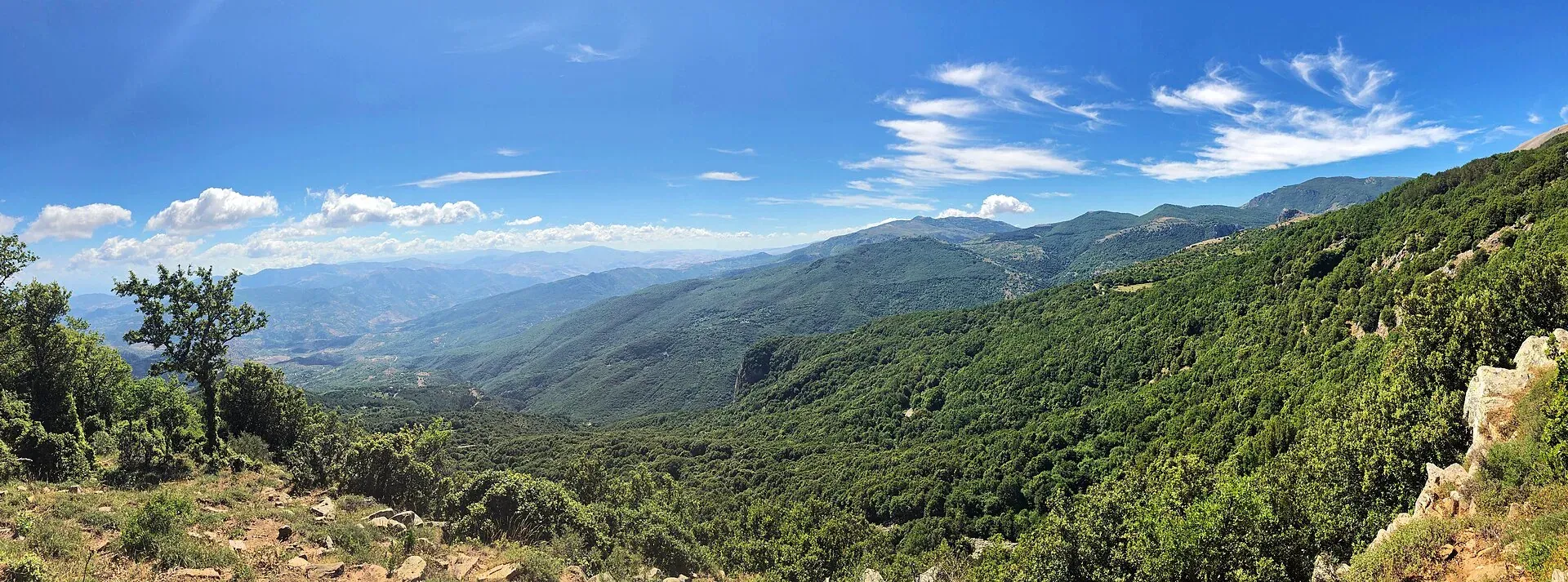
10 topics
Boundaries, protection zones, rules and figures of the regional park set up in 1989.
Rocks, fossils and geosites: the geology of the Madonie, to read in the open air.
Beech, holm oak, cork oak and giant holly: where the woods are and when to go.
Piano Battaglia, Piano Zucchi, Piano Sempria and the other plateaus.
Pizzo Carbonara, San Salvatore, Quacella, Mufara: the summits above 1,800 metres.
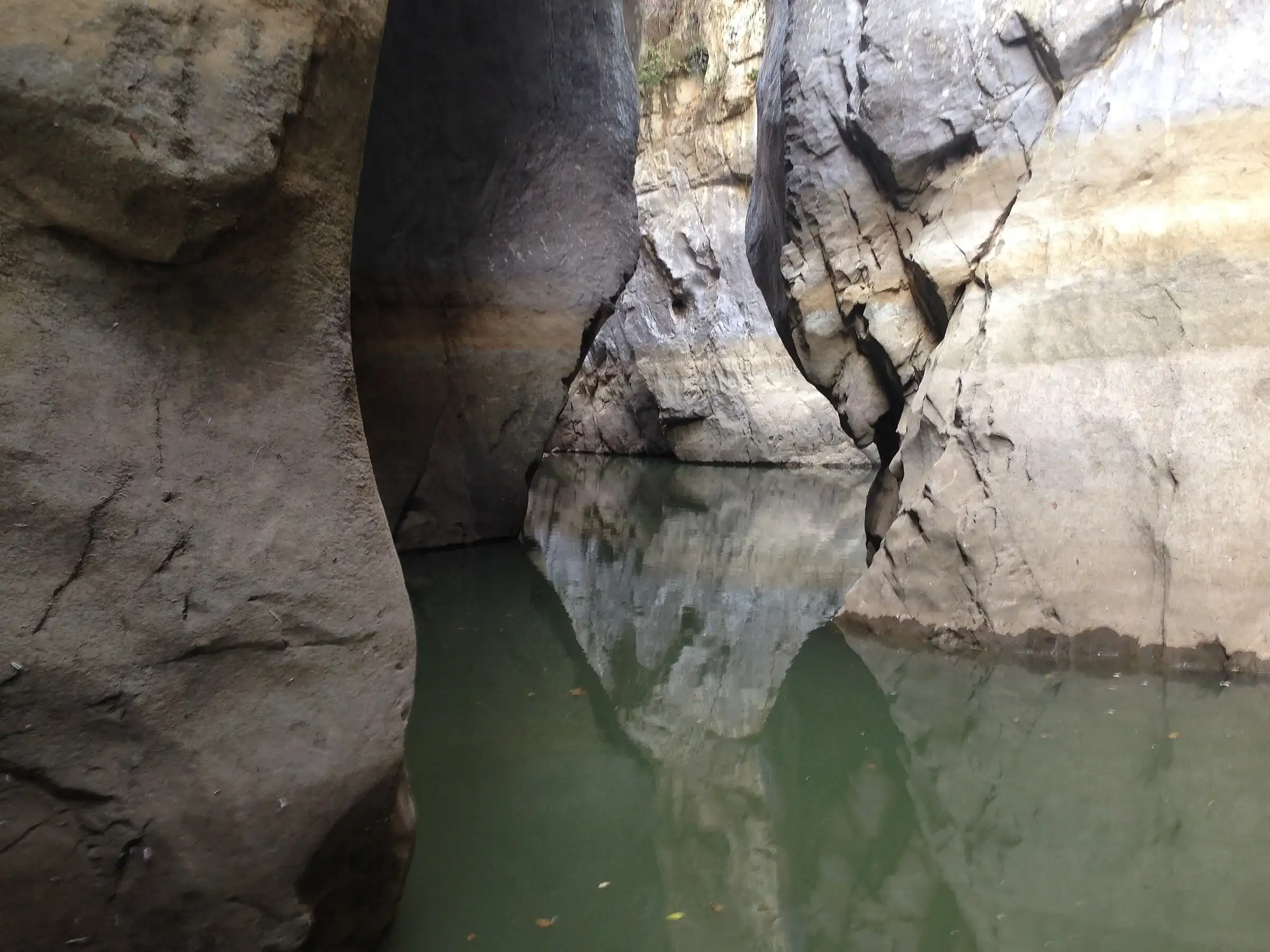
From the Gole di Tiberio to the Grotta Grattara, the places carved by water.
The Madonie fir: a few dozen adult trees, in a single valley in the world.
Wild orchids, peonies, endemic plants: the flowering calendar.
Golden eagles, fallow deer, porcupines and owls.
Where to see Etna, the Aeolian Islands and the sea at Cefalù from above.
Madonie Park (Parco delle Madonie) is a regional nature park of 39,679 hectares, established on 9 November 1989, between the sea at Cefalù and the interior of the province of Palermo. It includes 15 municipalities and since 2015 has been part of the UNESCO Global Geoparks network. The highest peak is Pizzo Carbonara, 1,979 metres, the second highest in Sicily after Etna.
Guides to the park’s landscapes, one topic at a time: the park and the Geopark, woods and beech forests, high plains, peaks, gorges and caves, the Abies nebrodensis, flora, fauna and viewpoints. The list above tells you which are already online.
Each guide has facts with sources, frequently asked questions and the trails to go and see for yourself what it describes.
With what you can see in a day.
The Madonie map shows villages and trailheads. Petralia Sottana, home of the park authority, is the closest town to Piano Battaglia: start from its page.
Up high the weather changes fast. Before you go out, check the Piano Battaglia weather and, in winter, the snow section. The basic rules for walking safely are in the article on the CAI scale and safety.
Sources: Ente Parco delle Madonie for the park municipalities; Wikipedia, Parco delle Madonie for area, date of establishment and entry into the UNESCO Geoparks network, on 17 November 2015.
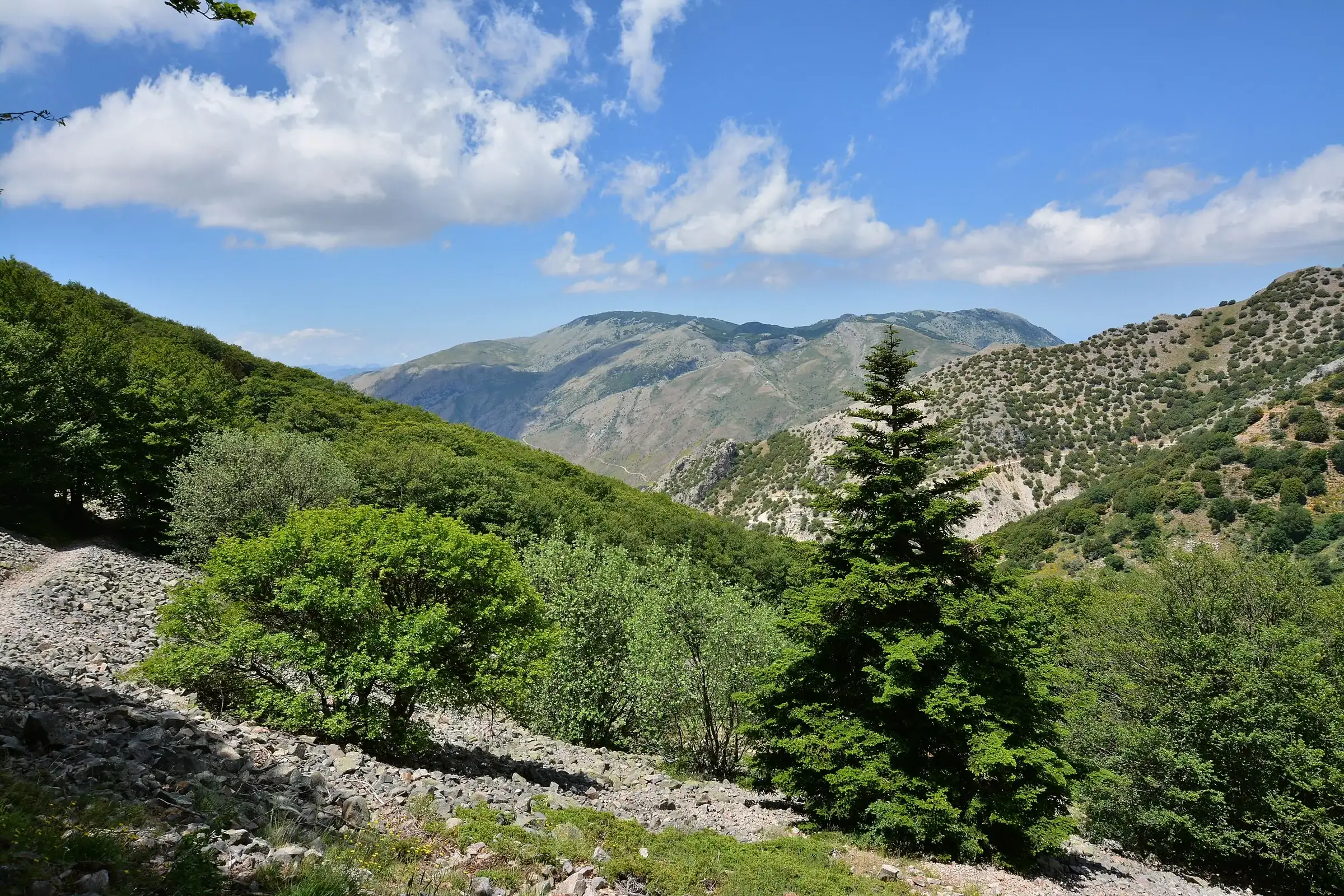 Hiking trail
Contrada Quacella, SP119 · Loop
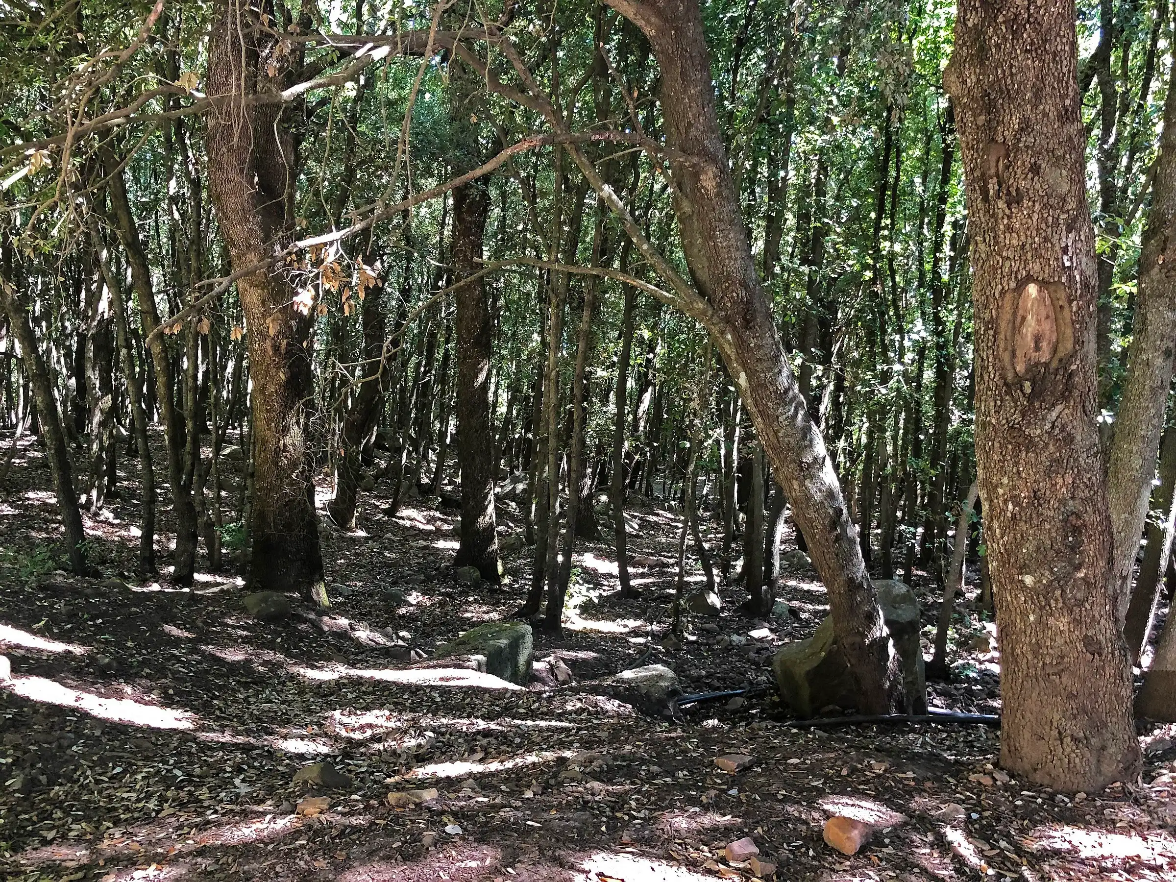 Hiking trail
Piano Sempria · Out and back
 Hiking trail
Case Marcatagliastro · Out and back