Things to do
Nature and landscapes
The plateaus of the Madonie: Piano Battaglia at 1,572 m, Piano Zucchi, Piano Sempria, Piano Cervi, Piano Pomo and Piano Catarineci. Heights, access, what to do.
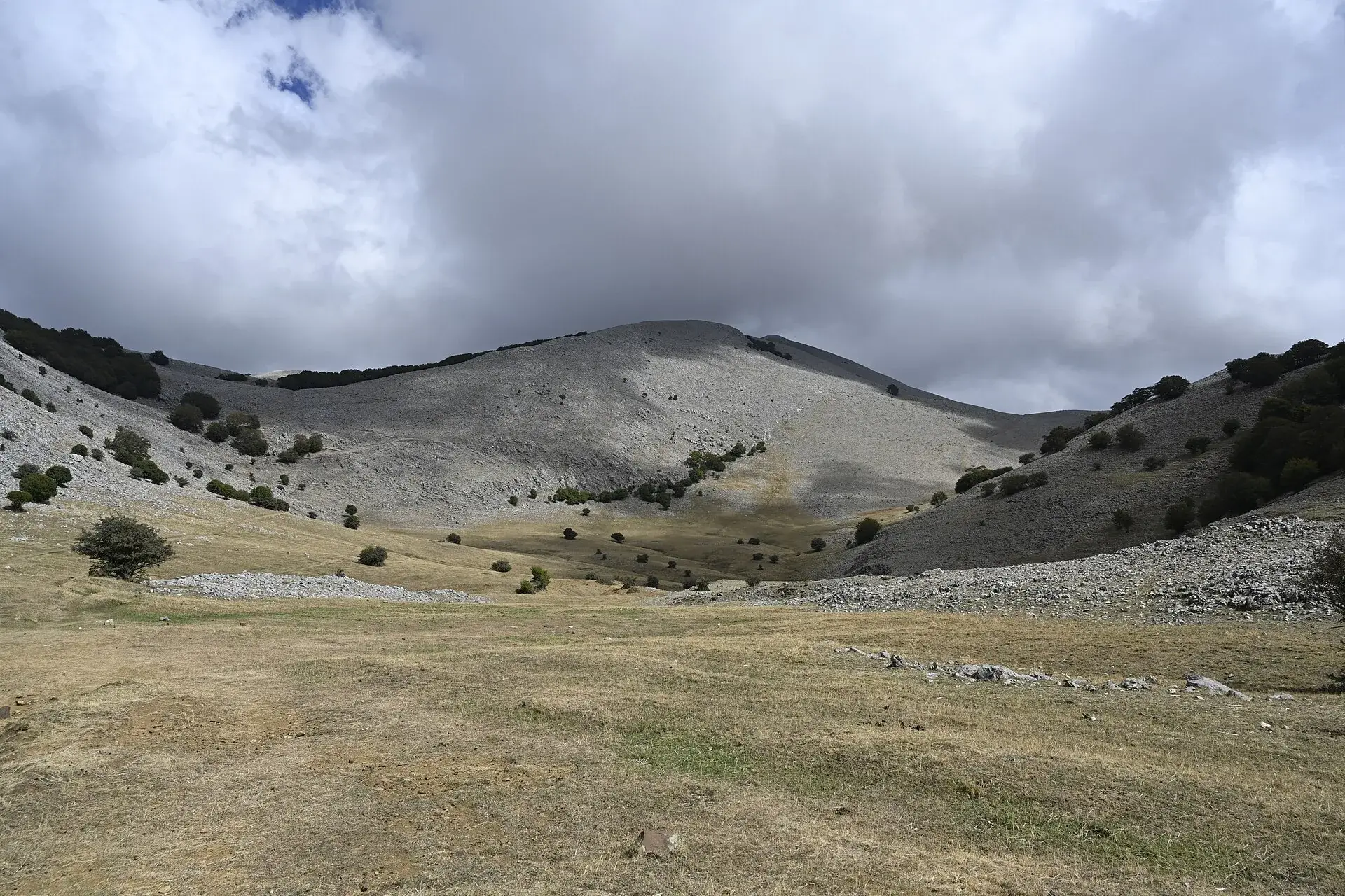
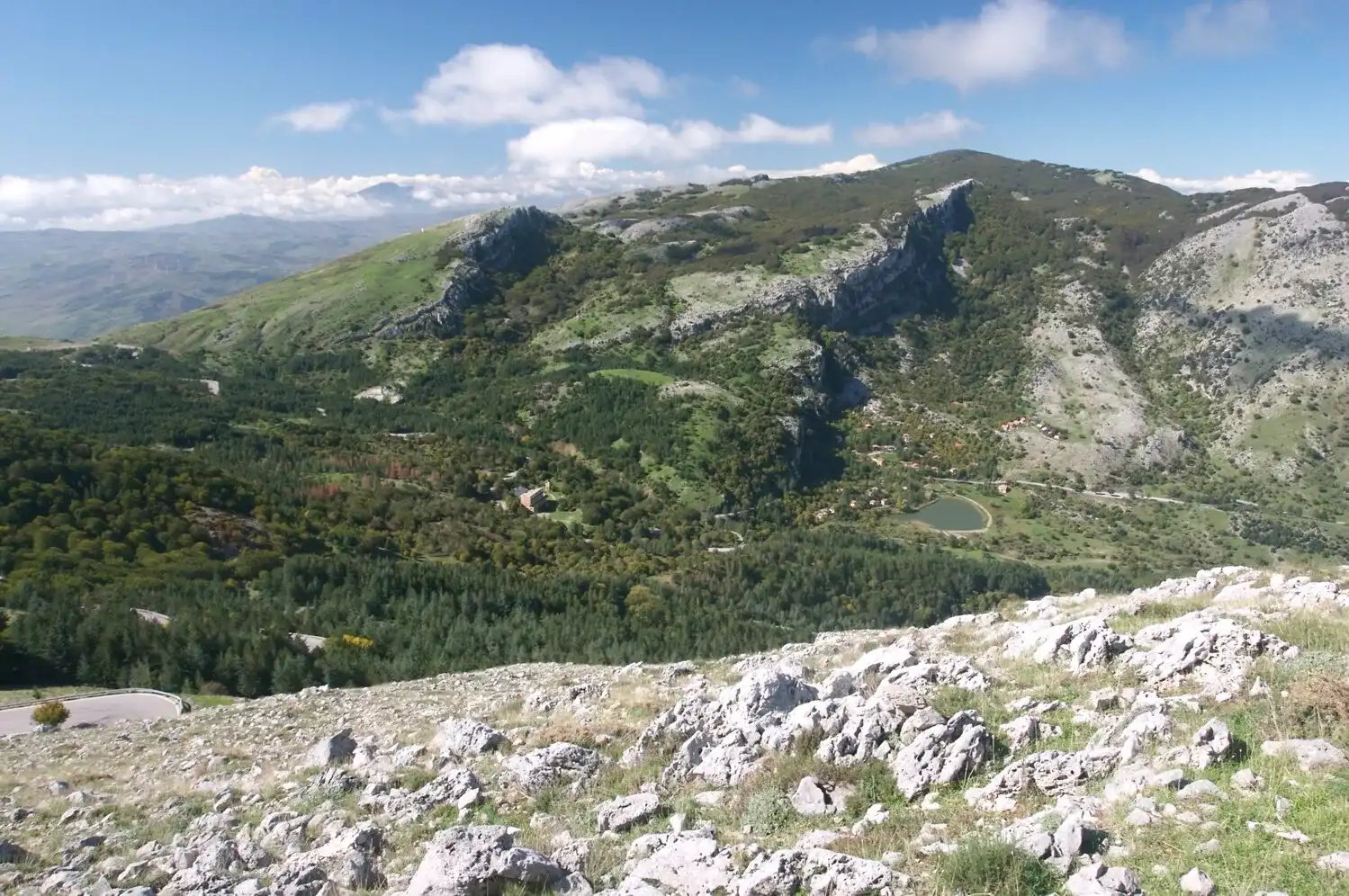
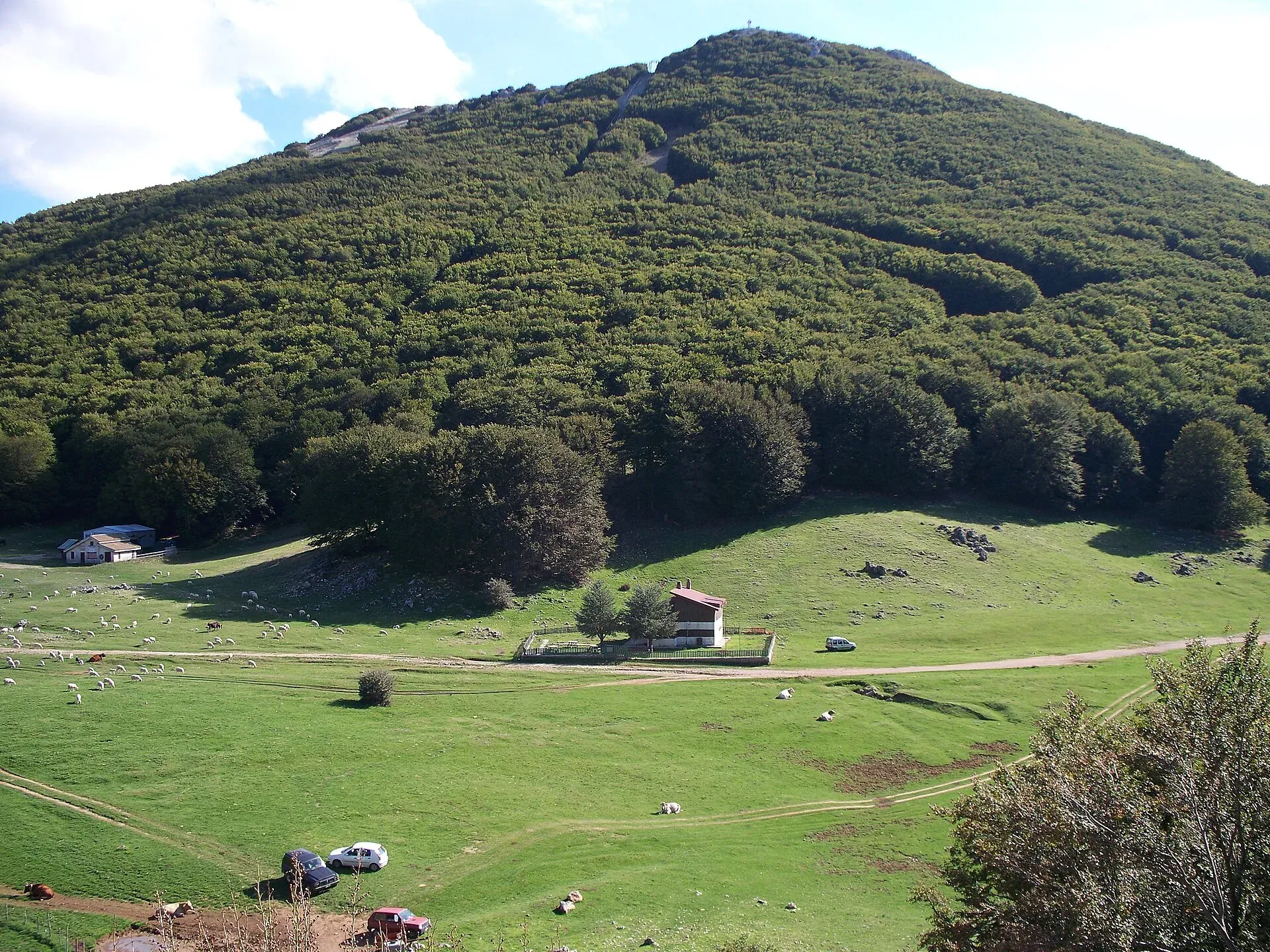
The plateaus of the Madonie are high plains, between about 1,100 and 1,600 metres, almost all formed by karst: basins where water dissolved the limestone and then vanished underground. The best known is Piano Battaglia, at 1,572 metres between Pizzo Carbonara and Monte Mufara. Around it lie Piano Zucchi, Piano Sempria, Piano Pomo, Piano Cervi and Piano Catarineci, summer pastures surrounded by beech, holm oak and holly.
Each plateau has its own character. Some you reach by car, others only on foot. This guide lines them up with heights, access and things to do.
At a glance
The answer lies in the limestone. In the Carbonara massif rain and snow have been dissolving the rock for about two million years, carving dolines, closed valleys and swallow holes. According to the Park Authority the dolines, called quarare in dialect, can be a few hundred metres across and up to 25 metres deep.
The largest basins are called poljes. Piano Battaglia and the nearby Battaglietta are two poljes with a swallow hole at the bottom, where the water disappears and feeds the springs further down. Wikipedia describes them as the most extensive karst landscape of the Carbonara massif.
It rains a lot on the high plateaus. According to the 2004 vegetation map, the Piano Formaggio station, near Piano Zucchi at 1,210 metres, records an average of 1,208 mm of rain a year, compared with an average of about 816 mm across the Park’s rain gauges.
This table sums up the height, town and access of the main plateaus, with the sources listed at the bottom of the page.
| Plateau | Height | Town | How you get there | What is there |
|---|---|---|---|---|
| Piano Battaglia | 1,572 m | Petralia Sottana | By car, SP54 | Skiing, Rifugio Marini, trails to the peaks |
| Battaglietta | about 1,630 m | Petralia Sottana | By car, from the Piano Battaglia ring road | Swallow hole, geological trail |
| Piano Zucchi | about 1,100 m | Isnello | By car, SP54 | Holm oak wood, monumental trees |
| Piano Sempria | 1,310 m | Castelbuono | By car, from Castelbuono | Rifugio Crispi, oaks and beeches |
| Piano Pomo | about 1,400 m | Castelbuono, Petralia Sottana | On foot, 1.3 km from Piano Sempria | Giant hollies |
| Piano Cervi | 1,530 m | n/a | On foot from Portella Colla | Pond, beech wood, hut |
| Piano Catarineci | n/a | Geraci Siculo, Petralia Soprana | On foot | Meadow with wild horses |
| Piano della Principessa | n/a | n/a | On foot, trail 551 | Dolines on the Carbonara plateau |
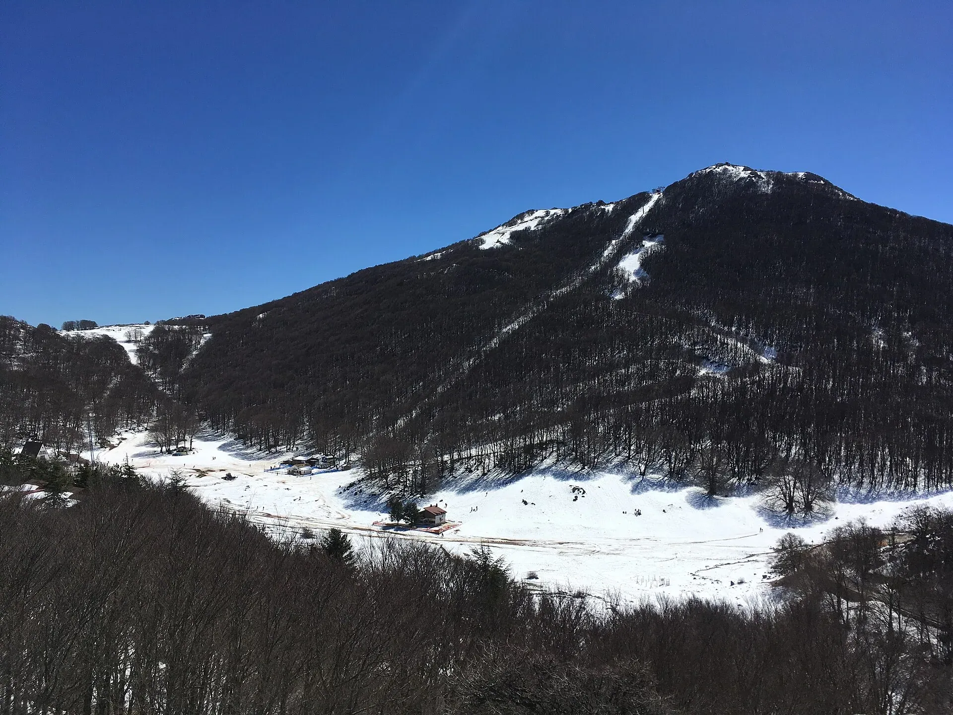
The Park Authority places Piano Battaglia at 1,572 metres, in the municipality of Petralia Sottana, between the Pizzo Carbonara group and Monte Mufara. It is a summer and winter resort, with villas and chalets built between the 1950s and the 1970s.
According to Wikipedia the name comes from a battle between Normans and Arabs in the 11th century, or from the wrestling games of shepherds: both explanations are recorded from the 18th century.
The plateau is the starting point for almost every hike in the high Madonie. The first building was the Rifugio Marini, belonging to the CAI. All around is the beech wood, and fossils of the 220-million-year-old coral reef crop out along the geological trail.
In winter Piano Battaglia is the only ski resort in western Sicily. Lifts, slopes, roads and chains are covered in the snow section and in the article on Piano Battaglia in winter.
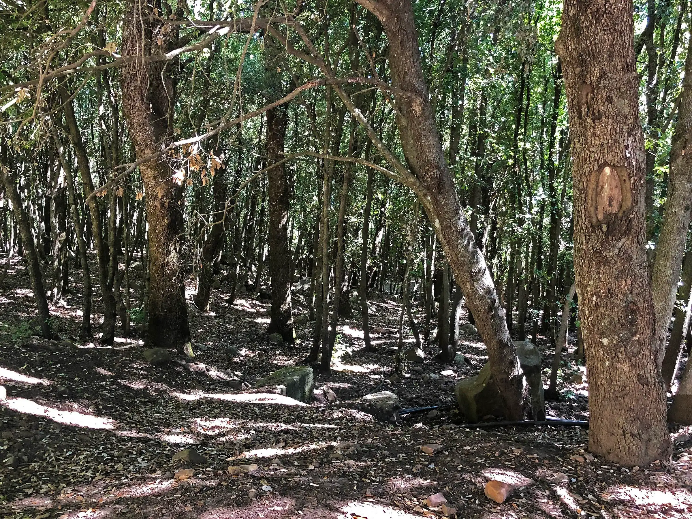
Piano Zucchi is the only hamlet of Isnello, at about 1,100 metres according to Wikipedia, on the SP54. The name comes from the Sicilian zuccu, stump or trunk, and recalls the ancient holm oak forest, of which centuries-old trees still survive.
The Park Authority has catalogued two monumental trees here: a holm oak about 800 years old at 950 metres, with a trunk about 7 metres round, and a Montpellier maple at 1,050 metres, with a crown about 23 metres wide.
In 1910 the Club Alpino Siciliano built the Luigi Orestano mountain hut: according to Madonie Press it has taken no guests since a fire in 2008 destroyed its roof and top floor. A little further up, at km 12 of the SP54, lies the small artificial lake of Mandria del Conte. Piano Zucchi is a good stop if you drive up to Piano Battaglia from the Cefalù side.
Piano Sempria is a green clearing dominated by large oaks, maples and beeches, with the Rifugio Crispi of the Club Alpino Siciliano. The Cefalù Madonie tourist district puts it at 1,310 metres. From Castelbuono take the road to San Guglielmo, pass the Liccia hermitage and follow the local road to the hut.
From here start the Castelbuono woods loop and the nature trail to Piano Pomo. After about 1.3 km you enter the hollies: 317 trees up to 15 metres tall, up to an estimated 350 years old. You may not go inside the grove, for safety reasons. The story is in the guide to woods and beech forests.
Trail 565 links Piano Pomo with Case La Pazza through the marcati, the shelters where shepherds spend the summer and make the provola cheese of the Madonie. A stretch at the foot of Pizzo Canna is closed from 1 February to 30 July while golden eagles nest.
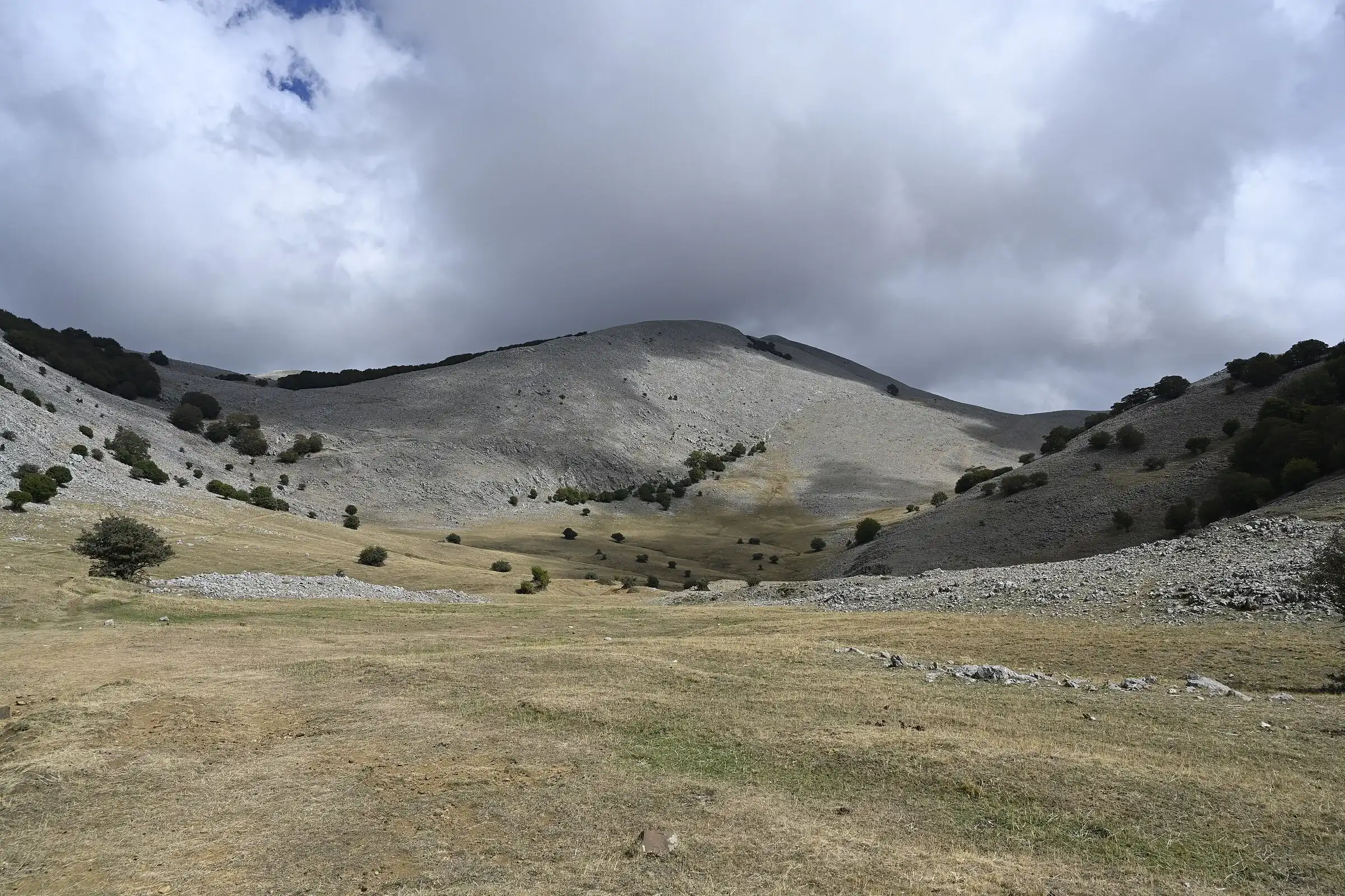
Piano Cervi can only be reached on foot, climbing from Portella Colla. According to the Cefalù Madonie tourist district it is a wide river-and-karst hollow at 1,530 metres, with a small pond in the middle formed by melting snow. Pasture replaces woodland, while a beech forest dominates the north-west side.
On the way up, on the slopes of Cozzo Piombino, there is a stand of Abies nebrodensis planted by the regional forestry agency in the late 1970s. Beyond the plateau you find charcoal burners’ sites, a Club Alpino Siciliano hut and a haystack hut rebuilt with the traditional technique.
Further on you reach Mandria Nipitalva, a marcato where summer grazing still goes on. The Sentiero Italia passes here towards Piano Zucchi: from May to October follow the variant that avoids the golden eagle nesting sites.
Piano Catarineci is a large green meadow running from Cozzo Ipsi to Pizzo Catarineci, between Geraci Siculo and Petralia Soprana. The tourist district describes it as a place where you often see horses living in the wild. You get there on foot from the Gorgonero pond or from Geraci Siculo towards Portella Ferrone.
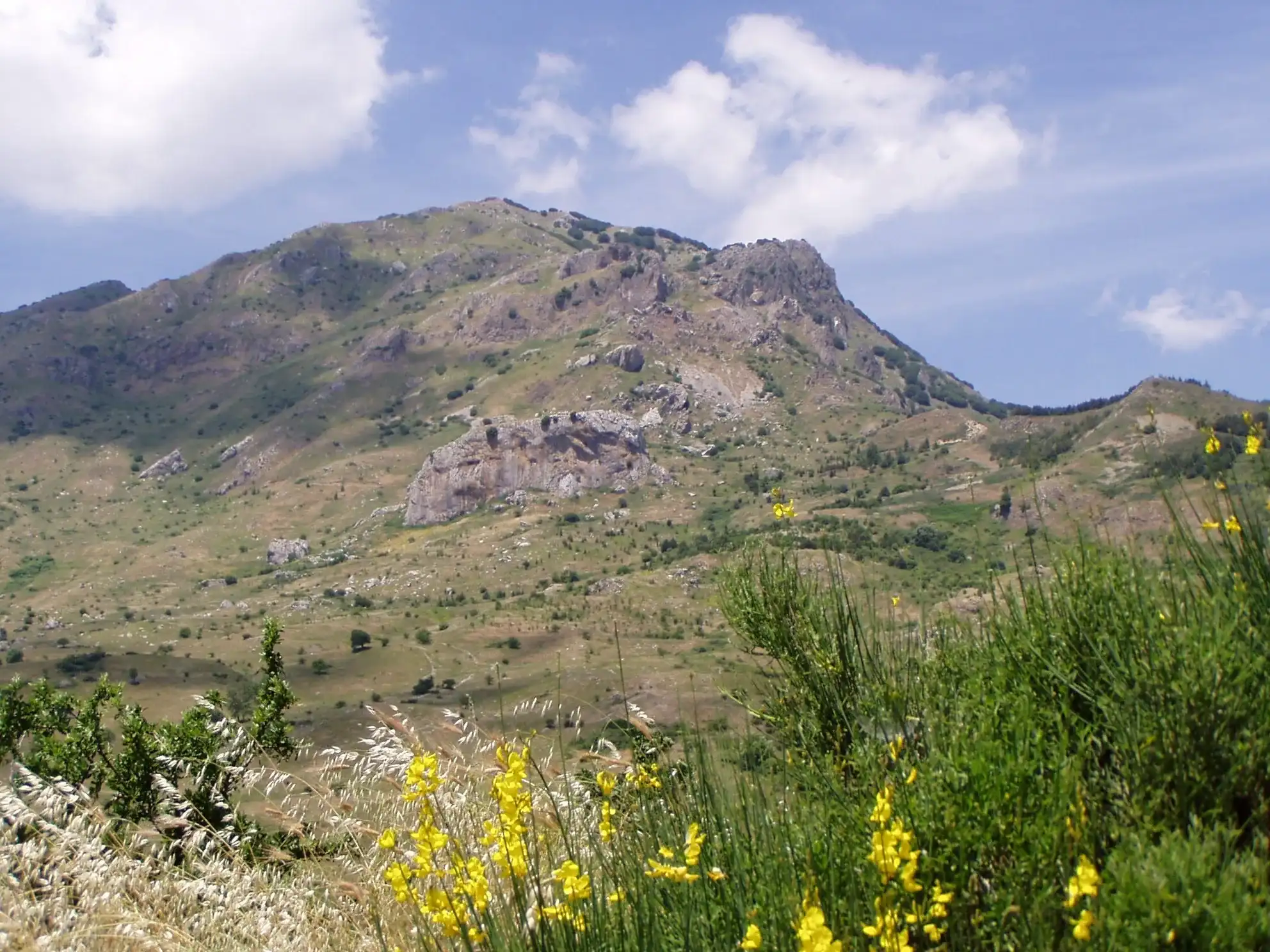
On the Carbonara plateau there are other high meadows. Piano della Principessa, on trail 551, is a plain of dolines and green terraces below Pizzo Antenna. Piano Catagiddebbe, on the western side of Carbonara, is covered with the golden cushions of Cupani’s broom, an endemic plant.
Dozens of “piani” appear on maps of the Madonie. Some are useful names for finding your way:
From May to October the plateaus are green and easy to walk. In late spring the high meadows flower, and at the end of May the Festa della Transumanza in Geraci Siculo follows the herds up to the summer pastures.
In winter heavy snow falls above 900 to 1,000 metres and roads may close. Check the weather at Piano Battaglia or at Piano Zucchi and the Madonie driving guide.
On the pastures you meet herds and flocks. Respect the animals, close gates behind you and leave your car only in parking areas: the Park’s rules forbid parking anywhere else. To sleep nearby, the closest base to Piano Battaglia is Petralia Sottana, 16.5 km away.
Updated on 19 October 2026
 Hiking trail
Piano Battaglia · Loop
 Hiking trail
Piano Sempria · Out and back
 Hiking trail
Piano Battaglia · Point to point
 Hiking trail
Piano Noce, SP119 · Out and back
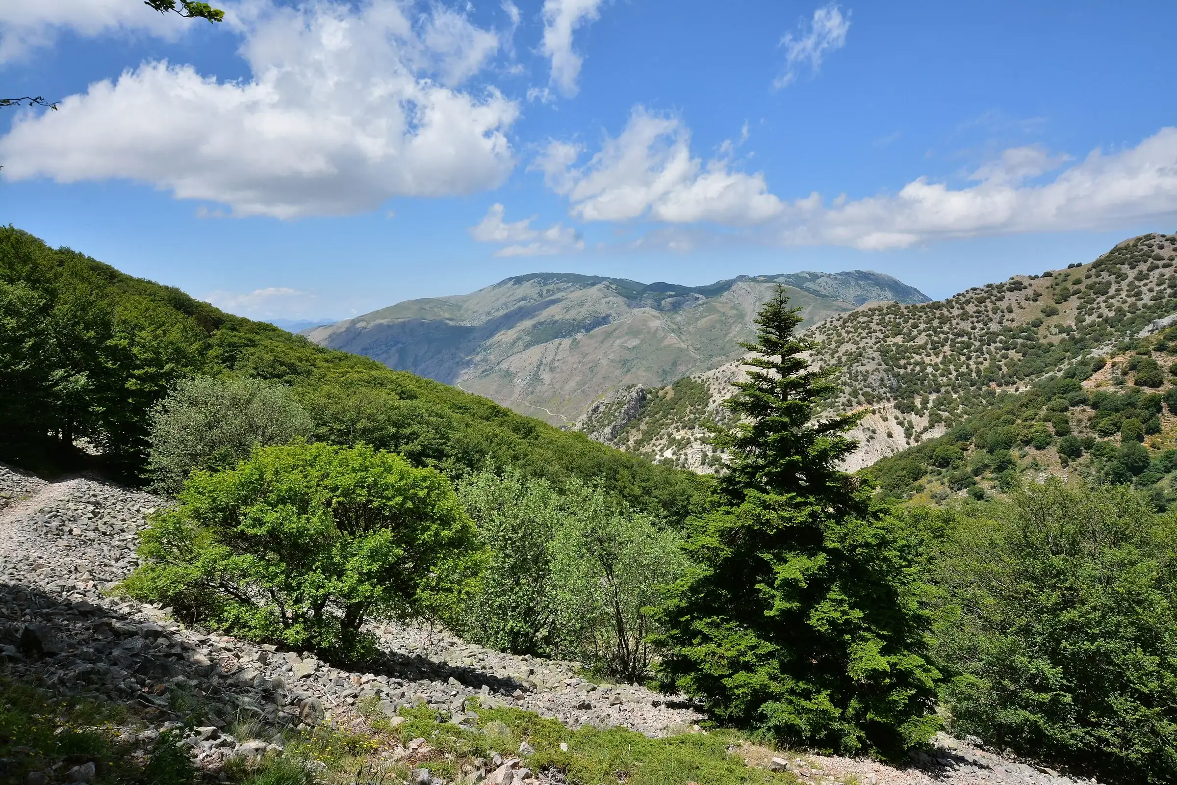 Hiking trail
Contrada Quacella, SP119 · Loop
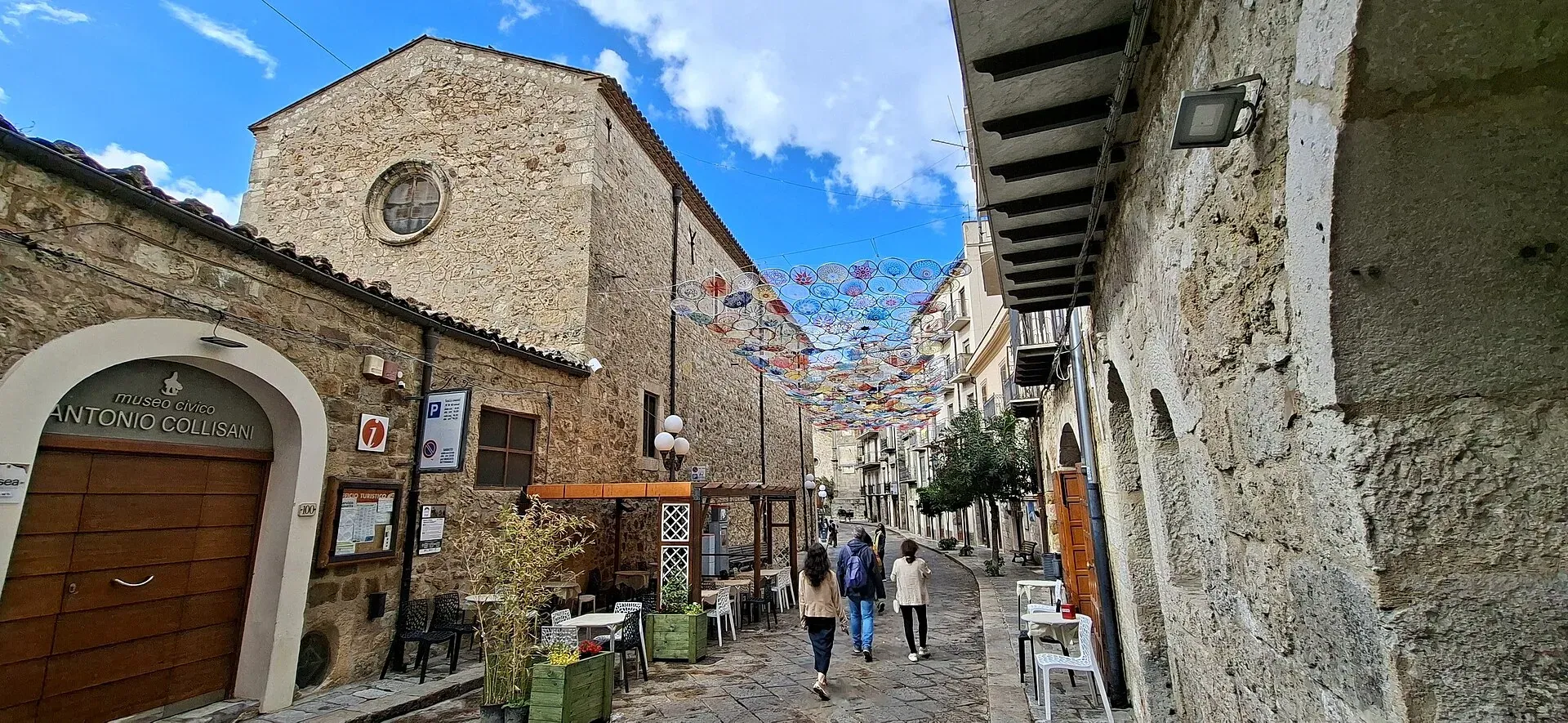
1,039 m a.s.l.
Home of the Madonie Park, at the foot of Piano Battaglia
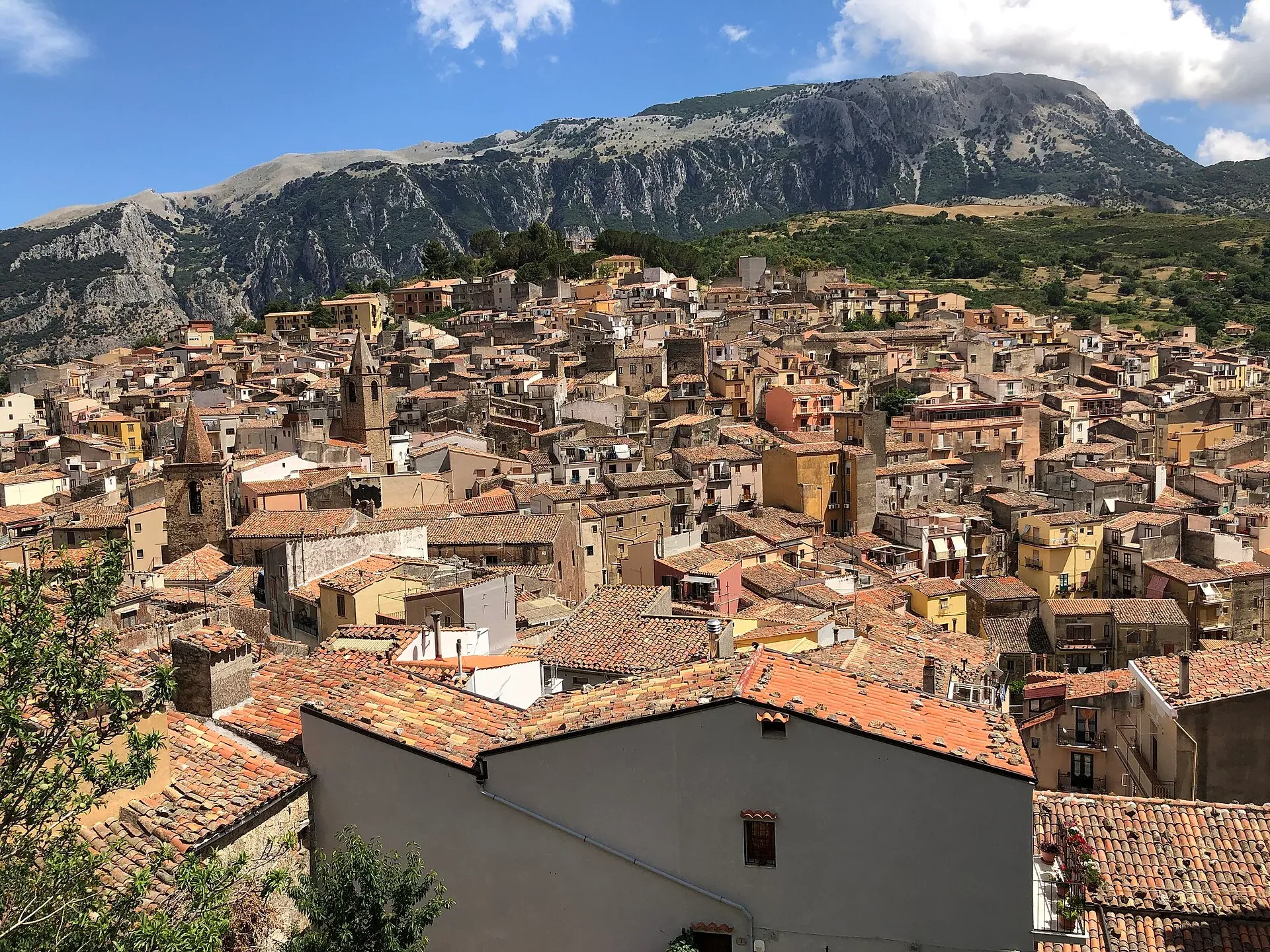
583 m a.s.l.
The town of the stars, beneath the Madonie cliffs
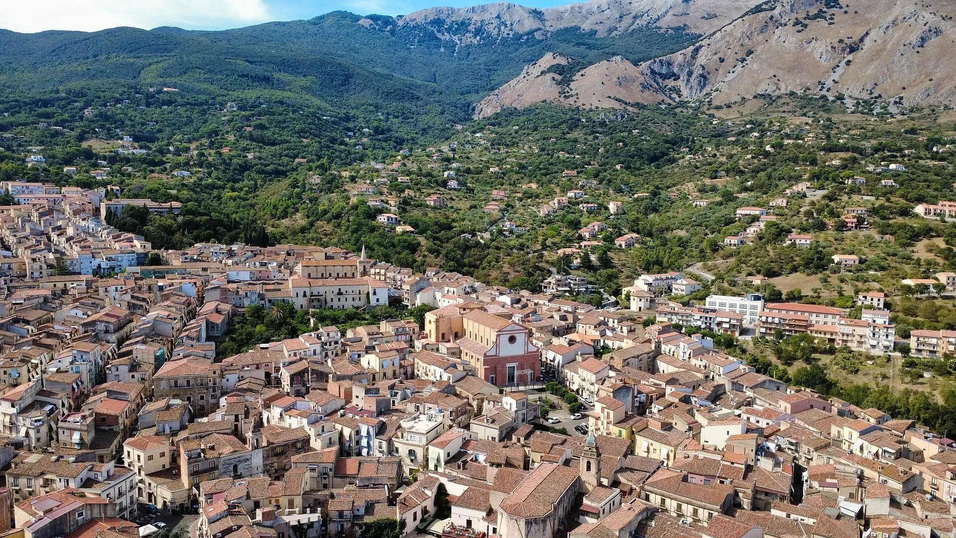
423 m a.s.l.
The town of the Ventimiglia castle, manna and testa di turco
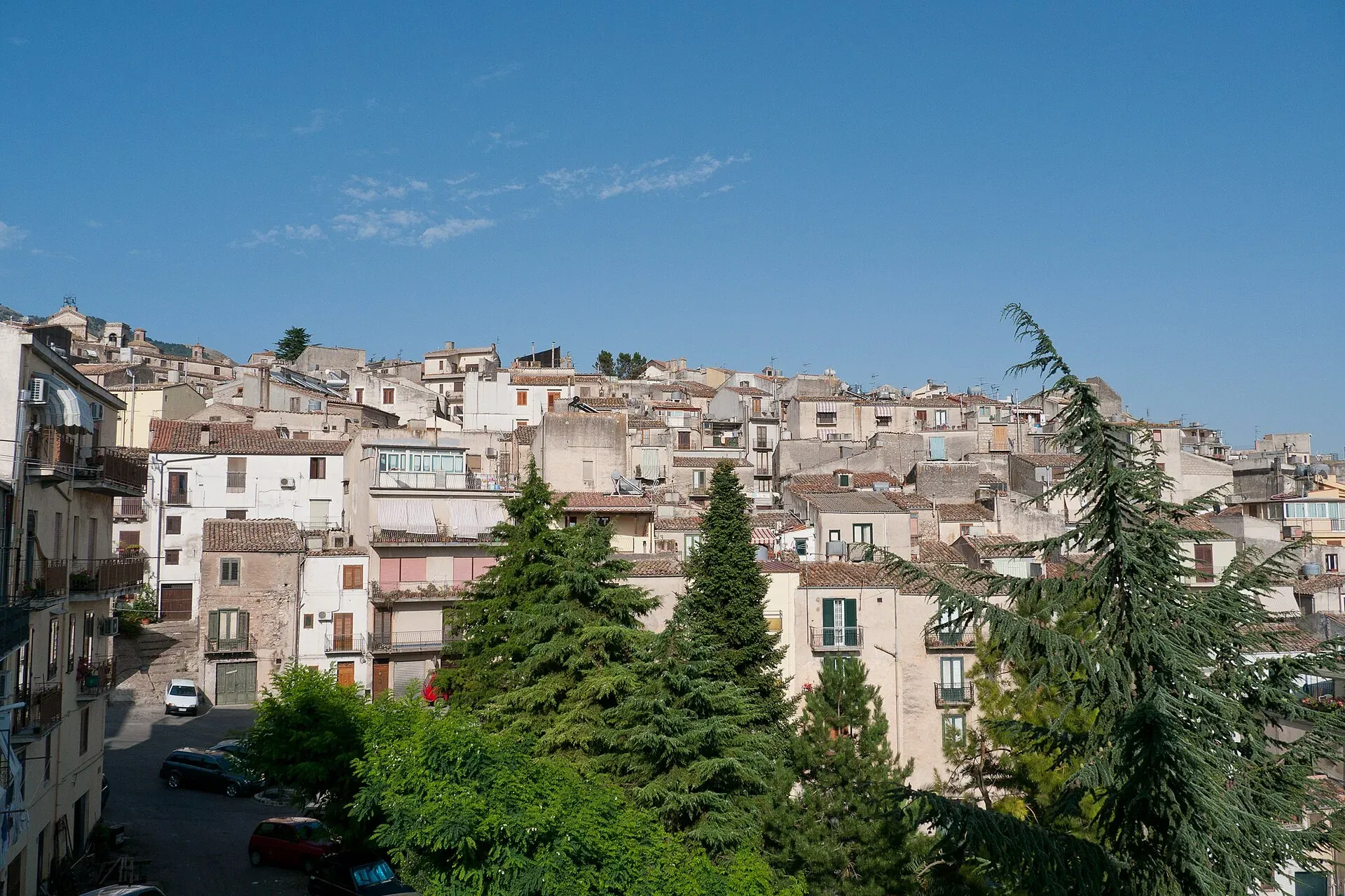
920 m a.s.l.
The town of the Abies nebrodensis, sfoglio and badda beans
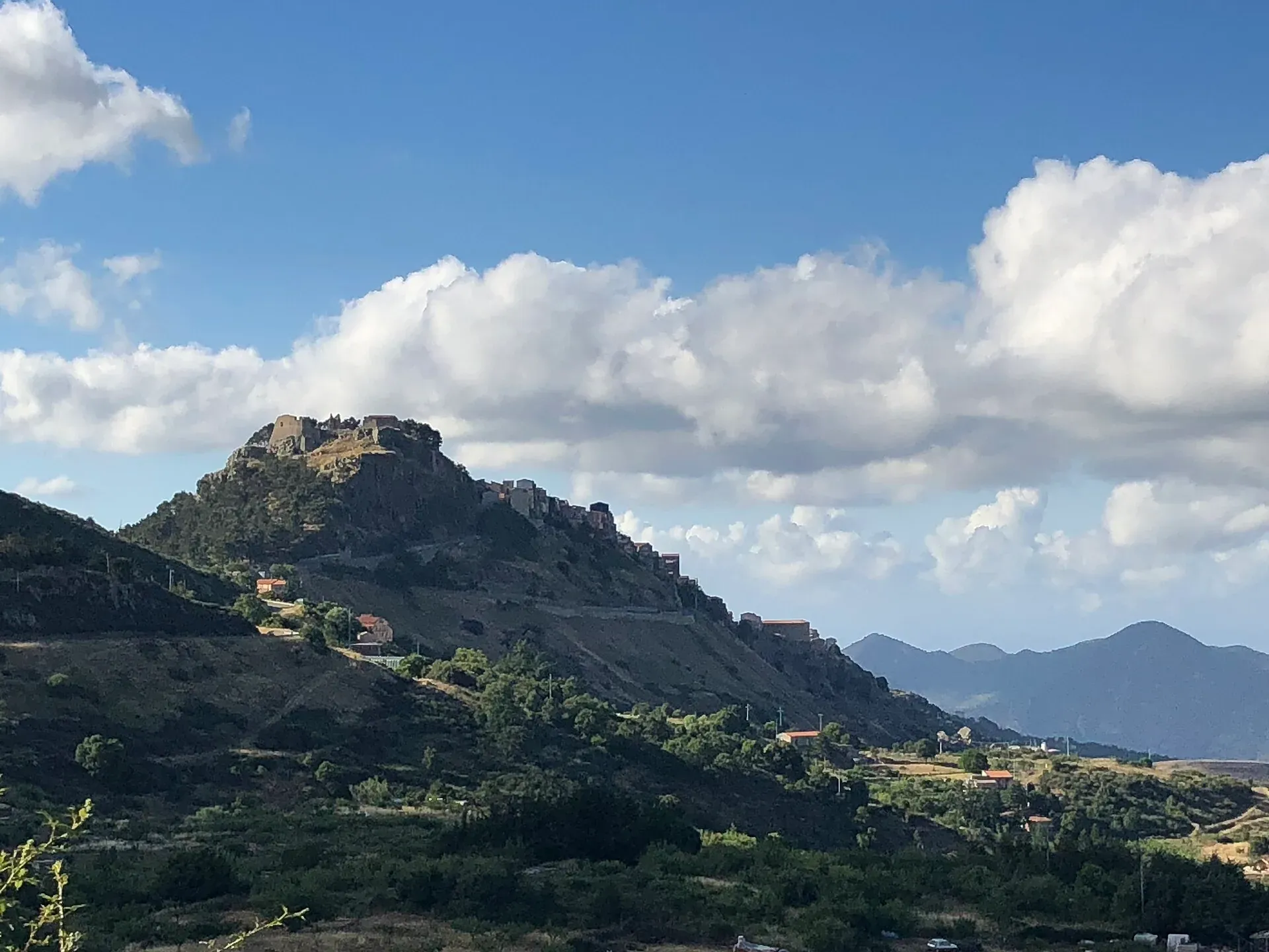
1,077 m a.s.l.
The first capital of the Ventimiglia, above the Madonie woods
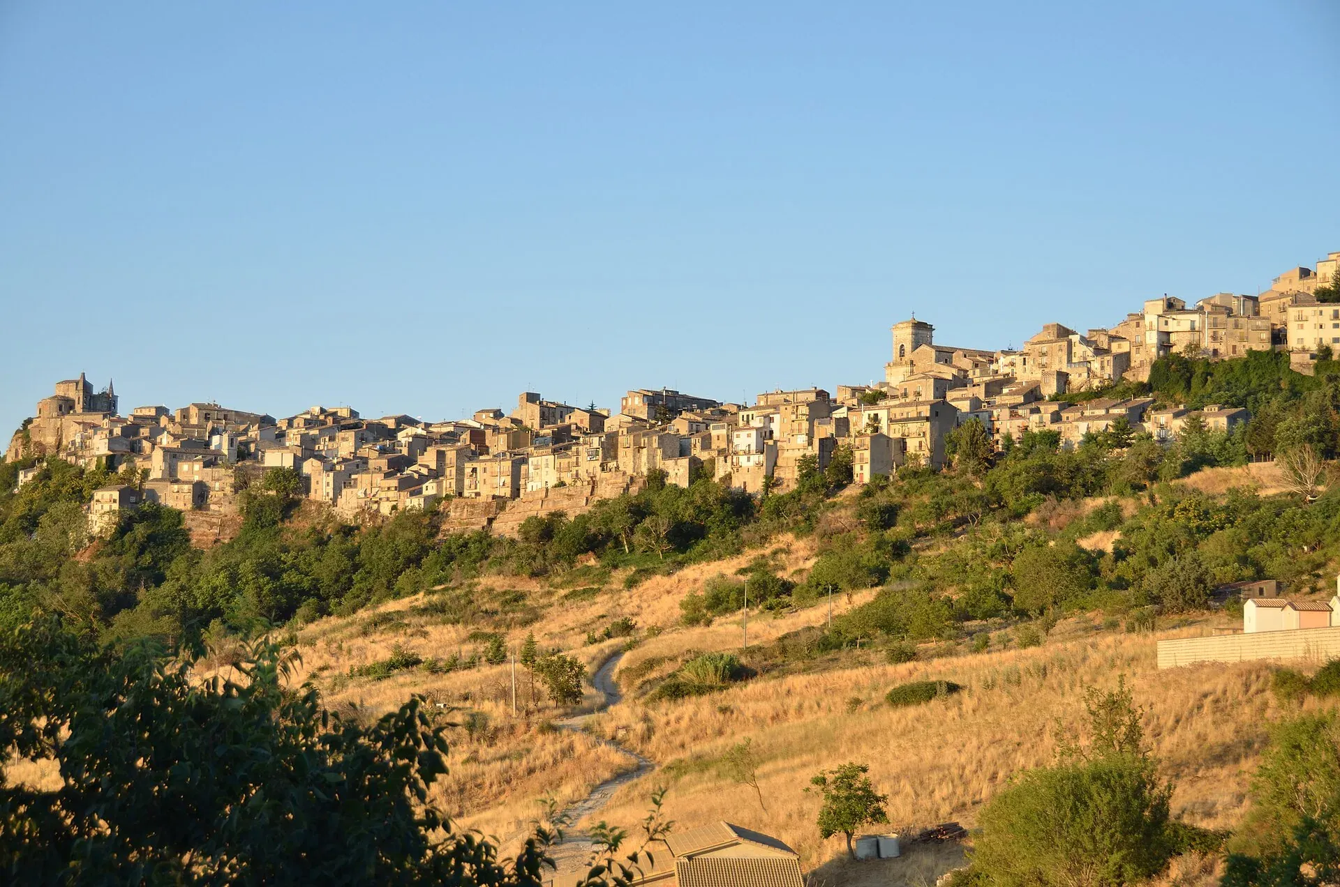
1,147 m a.s.l.
The highest town in the Madonie, Borgo dei Borghi 2018
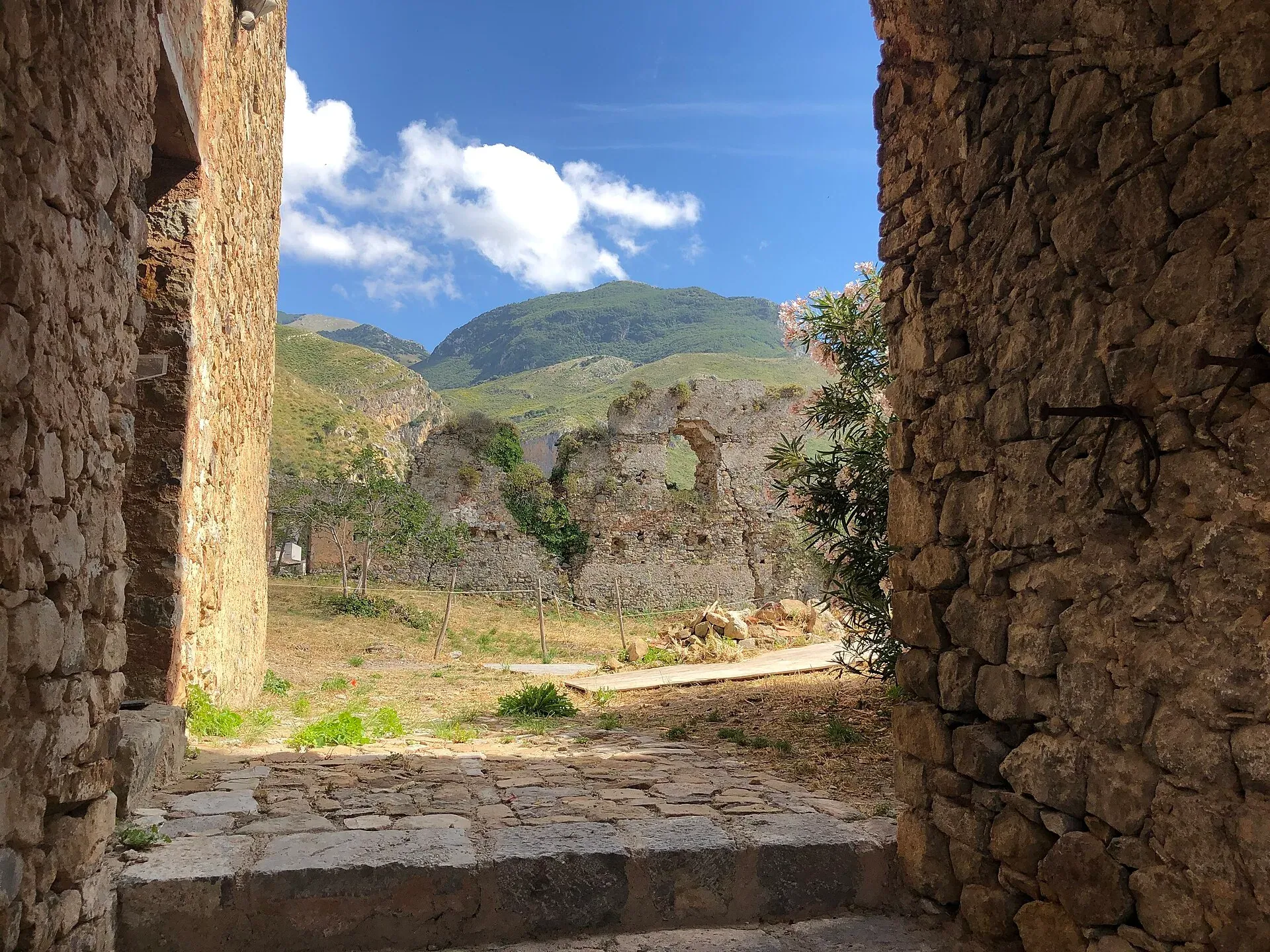
470 m a.s.l.
Ceramics, a castle and the Targa Florio museum
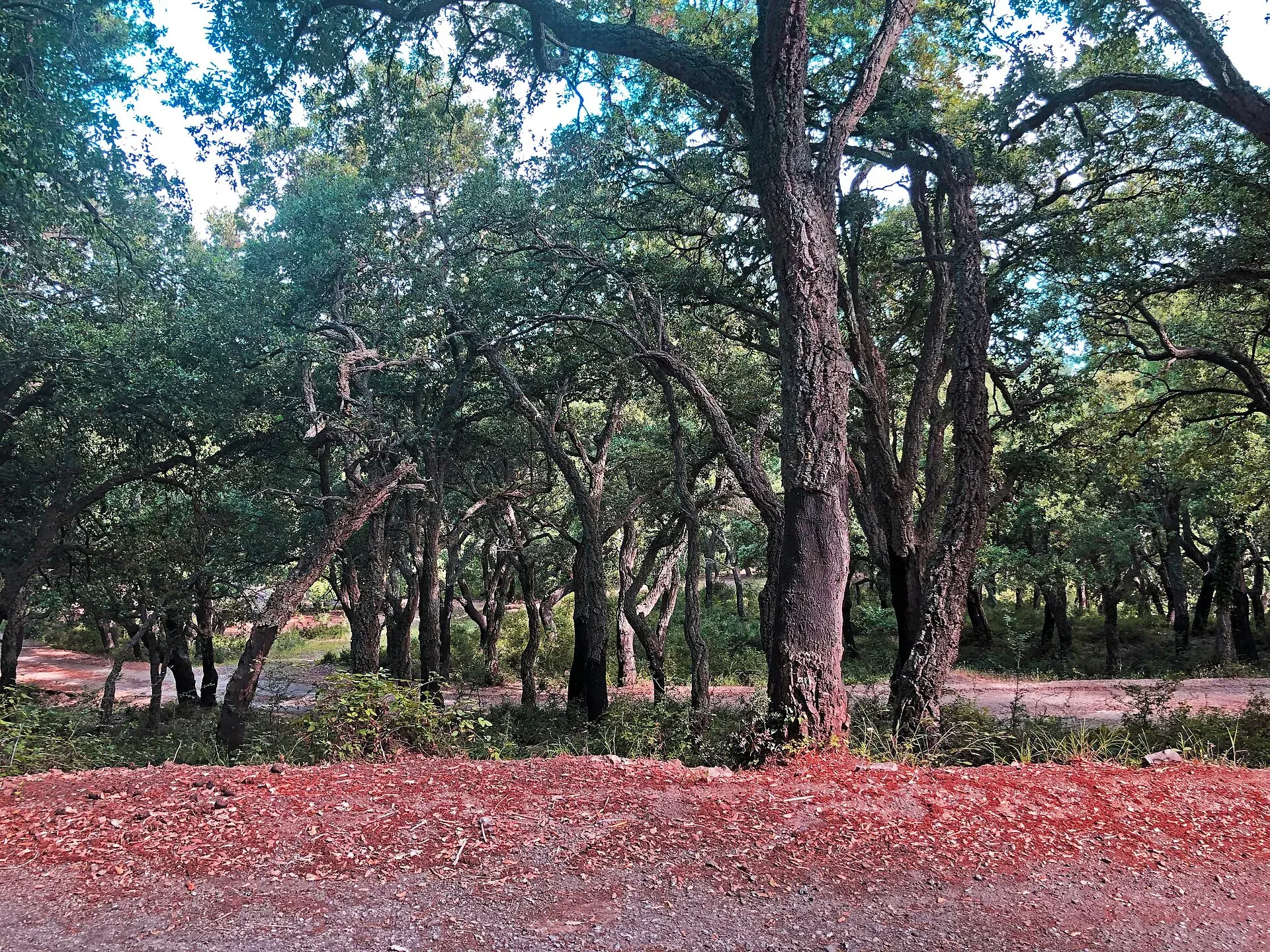
Nature
Madonie woods: beech forests up to 1,900 m, holm oaks, cork oaks, giant hollies and trees 800 years old. Where they are, how to tell them apart and when to go.
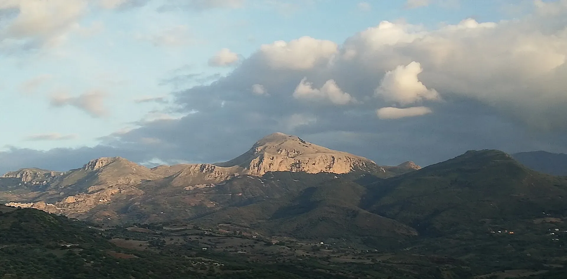
Nature
Madonie UNESCO Global Geopark: a geopark since 2001, UNESCO since 2015, 70 geosites and 220 million years of history. What to see, geological trails, museums.
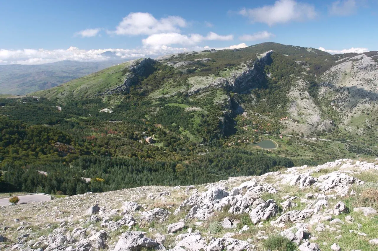
Nature
The peaks of the Madonie: Pizzo Carbonara 1,979 m, Pizzo Antenna Grande, Monte San Salvatore, Quacella and Mufara. Table of heights, trails and practical tips.
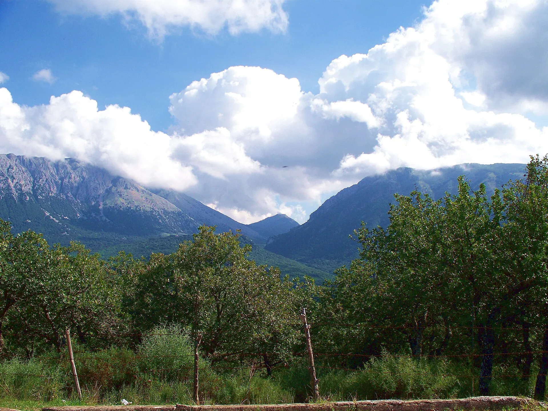
Nature
Madonie Park (Parco delle Madonie): 39,679 hectares and 15 towns between Cefalù and the Petralias, founded in 1989. Zones, rules, sights and how to get there.
Nature
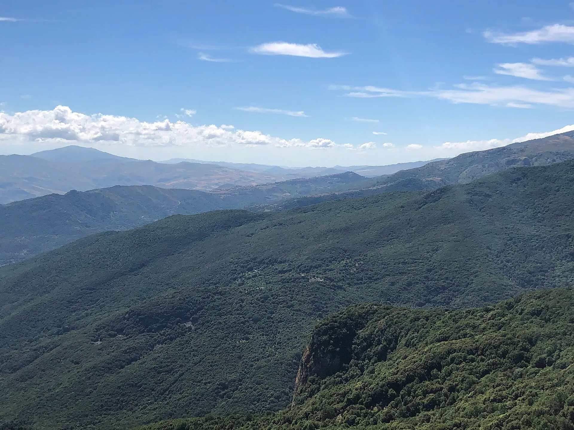
The best viewpoints in the Madonie: Pizzo Carbonara, Madonna dell'Alto, Monte San Salvatore, Pollina and the SP54 lookouts. Where to see Etna and the Aeolians.
Nature
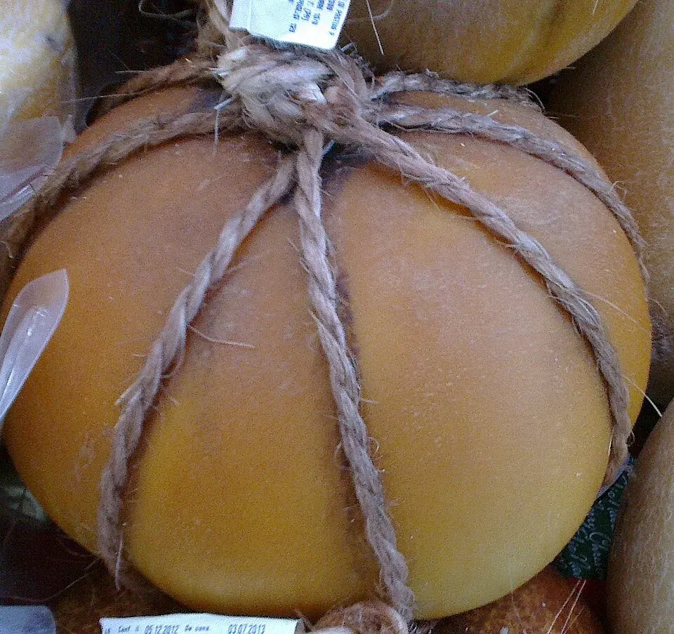
Madonie cheeses one by one: Slow Food provola, caciocavallo, Gratteri's canestrato, ricotta and tuma, with farms to visit, cheese festivals and pairings.
Things to do
Nature
Itineraries