Travel info
Madonie travel info
Finding your way in the Madonie: CAI waymarks, the Ente Parco trail map, OpenStreetMap, offline apps, GPX tracks and what to do when there is no signal.
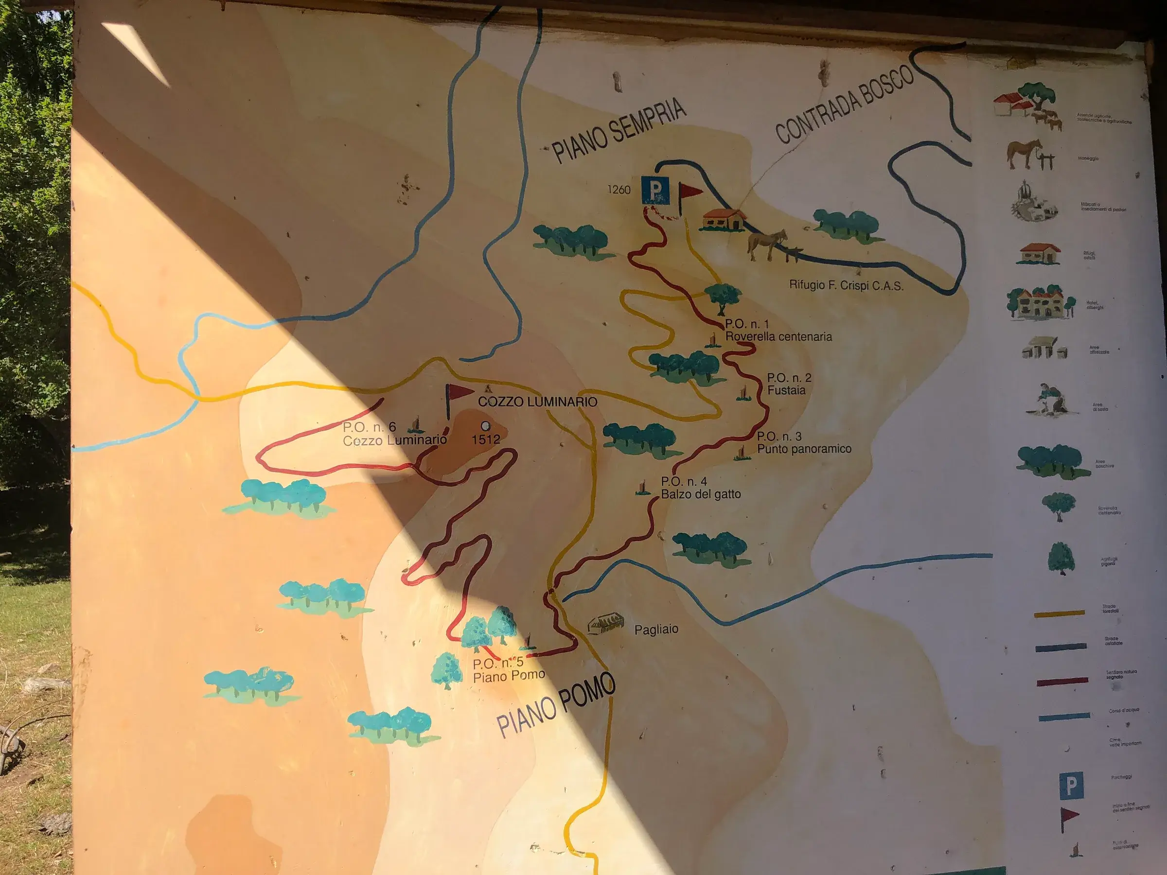
To find your way in the Madonie you need three things: the ability to read the white-red CAI waymarks, a digital map downloaded to your phone (apps based on OpenStreetMap, such as OsmAnd or Organic Maps, work offline) and, for long routes, the trail’s GPX track. The Ente Parco has published a 1:50,000 trail map, useful for the big picture. In the mountains mobile signal is not guaranteed: prepare everything at home.
At a glance
Trails marked by the CAI follow the rules in the Italian Alpine Club’s handbook on signage:
CAI trails have a three-digit number: the first digit is the sector, the other two the trail. On OpenStreetMap, for example, the Pizzo Carbonara loop is marked as trail 551, maintained by the Petralia Sottana CAI section.
Not all trails are marked the same way, and paint fades. At forest track junctions, if you cannot see any marks, check your position on the map before going on. Difficulty grades (T, E, EE) are explained in our article on the CAI scale.
The Ente Parco delle Madonie has published the Carta dei Sentieri e del Paesaggio - Madonie at 1:50,000. The Parks.it catalogue of park publications lists the sixth edition, from 2012, at 3 euros.
It is a good overview map for understanding where the peaks, plateaus, roads and towns are. For trail detail, and for routes changed after 2012, use it together with a digital map. Ask where to find it at the Park information points or at the Ente Parco in Petralia Sottana.
OpenStreetMap is the free map made by volunteers. In the Madonie it shows many numbered CAI trails, forest tracks, springs, huts and picnic areas. Many hiking apps use it, and so does our site for distances and the map.
If you find a mistake, anyone can fix it by registering on openstreetmap.org.
This table compares the most useful apps in the Madonie, based on what their official websites state.
| App | What it does | Offline | Cost |
|---|---|---|---|
| OsmAnd | OpenStreetMap map, position, routes | yes, downloadable maps | free version |
| Organic Maps | OpenStreetMap map for hiking and driving | yes, all features | free, no ads |
| GeoResQ | alert to Mountain Rescue with position and route | needs a network to send the alert | free |
How to use them:
This table sums up the Madonie trails we have published, with their CAI grade and where to find the track. The data come from our trail pages, which link the sources.
| Trail | CAI grade | Track |
|---|---|---|
| Pizzo Carbonara from Piano Battaglia | E | Sentieri Siciliani, trail 551 on OpenStreetMap |
| Monte Quacella | EE | OpenStreetMap |
| Rocca di Cefalù | T | Sentieri Siciliani |
| Castelbuono woods | E | OpenStreetMap |
| Gole di Tiberio | E | Sentieri Siciliani, OpenStreetMap |
| Monte San Salvatore | E | OpenStreetMap |
| Vallone Madonna degli Angeli and the Abies nebrodensis | E | OpenStreetMap |
| Sentiero Italia, Piano Battaglia-Petralia Sottana | E | Sentieri Siciliani, CAI Sentiero Italia |
All the routes, with their starting points, are in the Trails section.
Before a new trail, at home, follow these steps:
On the trail, compare your position with the track often, especially at forest track junctions and where the white-red marks thin out. If you lose the track, go back to the last safe point rather than cutting across slopes.
Our pages do not offer GPX downloads: we prefer to send you to the source that checks and updates them.
In the Madonie, as in all mountains, phone signal can be missing in valleys and woods.
How to call for help is explained in our guide to safety in the Madonie.
The Park zones and what you can do in each are in our guide to the Madonie Park rules.
Updated on 19 October 2026
 Hiking trail
Piano Battaglia · Loop
 Hiking trail
Piano Battaglia · Point to point
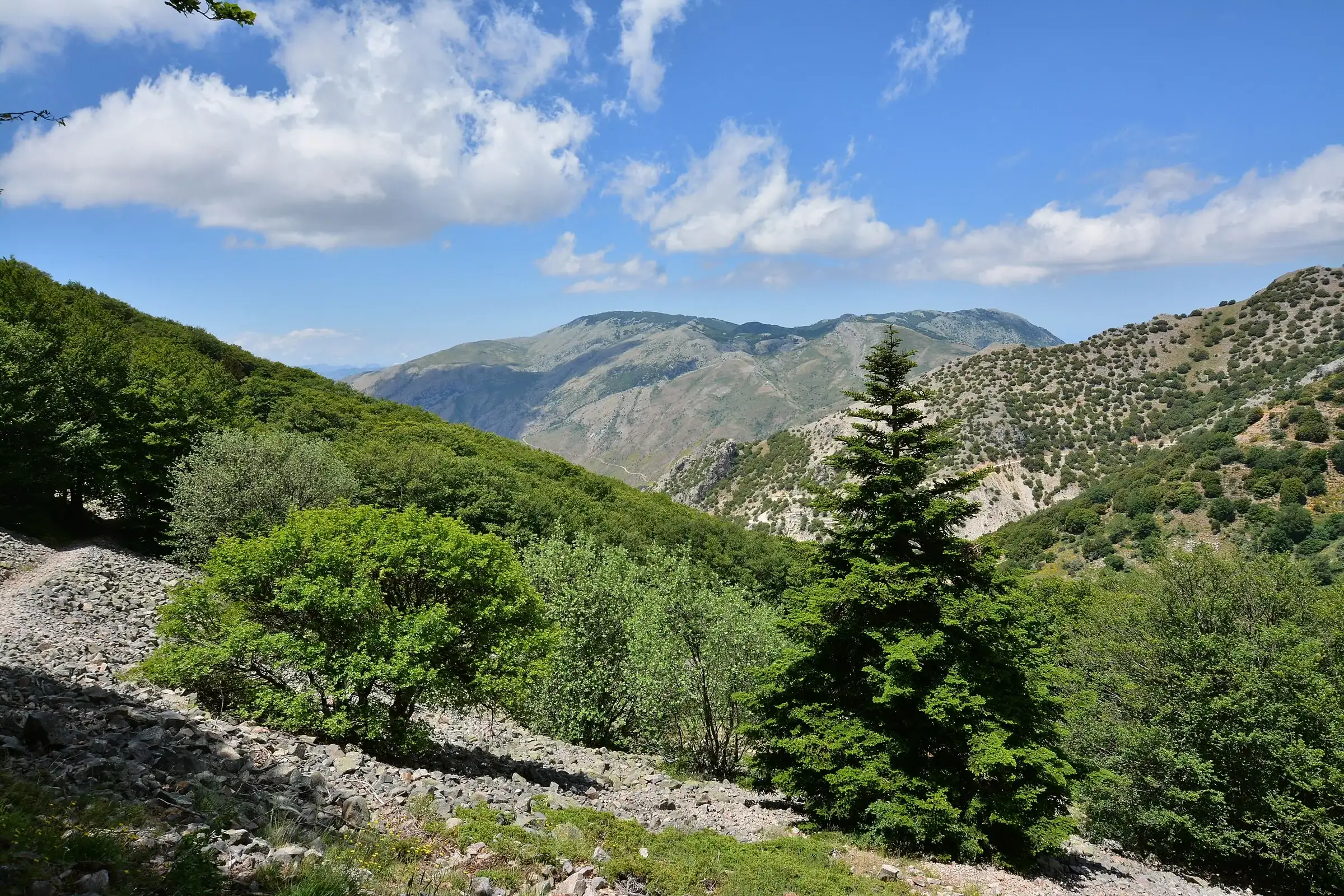 Hiking trail
Contrada Quacella, SP119 · Loop
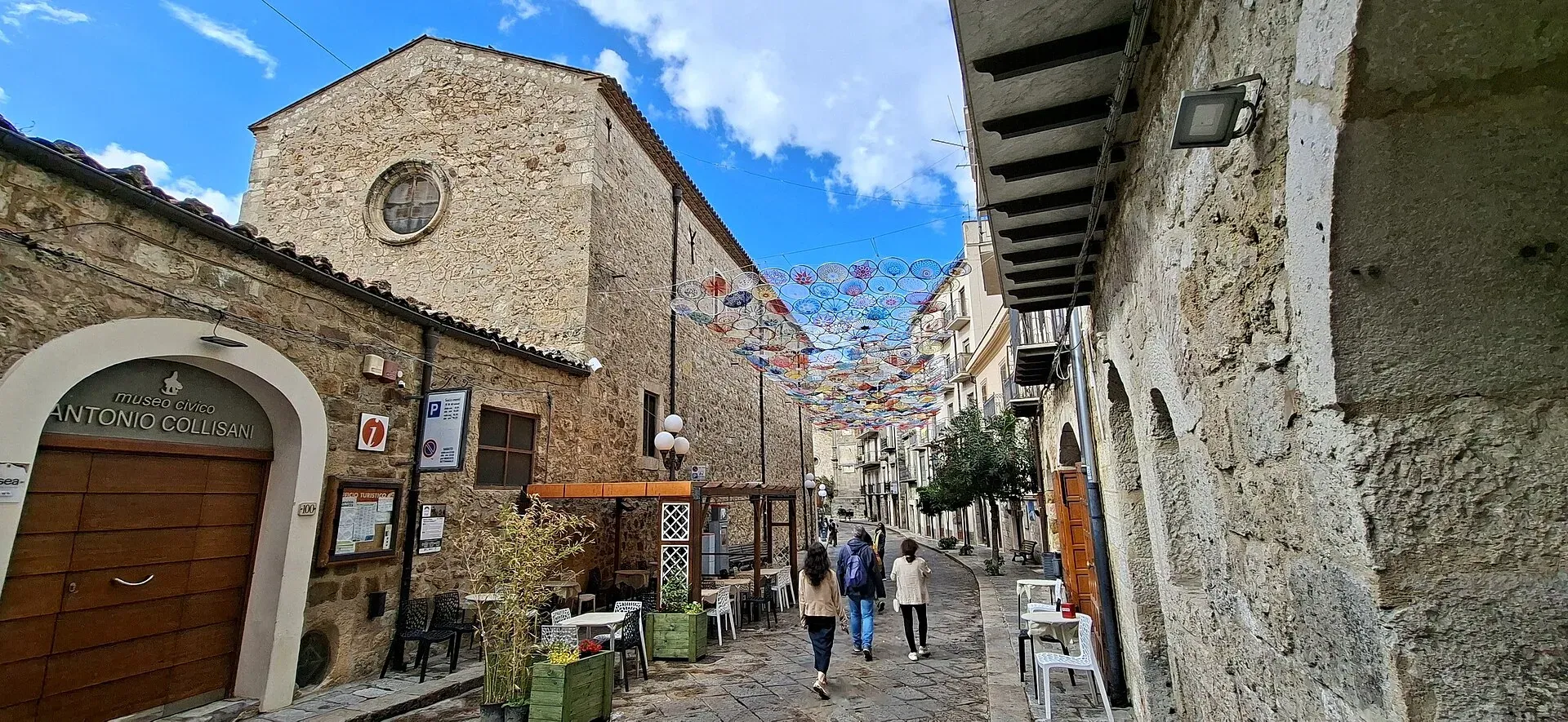
1,039 m a.s.l.
Home of the Madonie Park, at the foot of Piano Battaglia
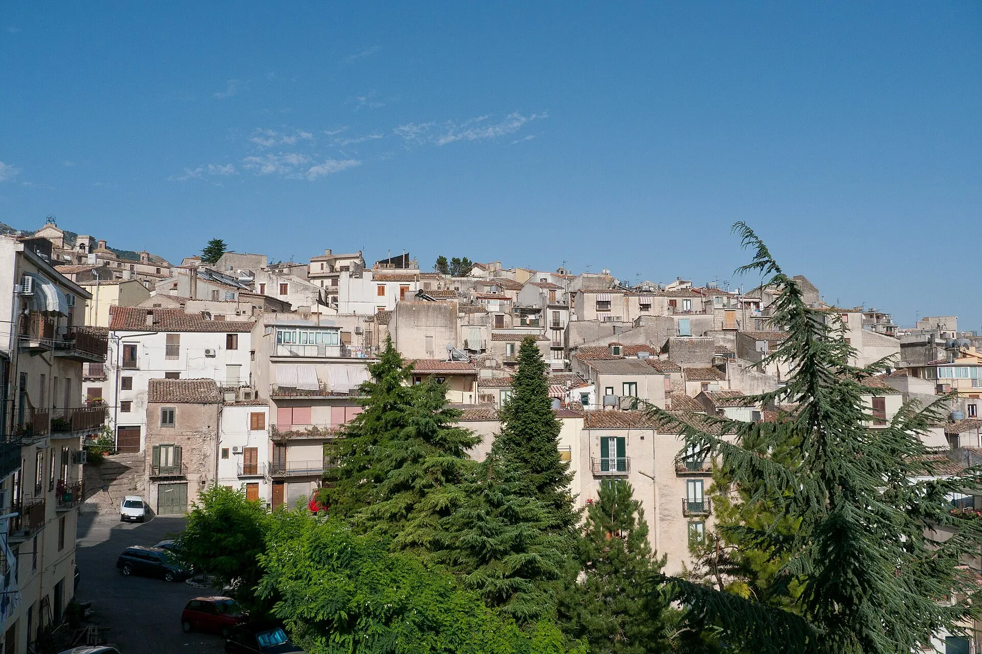
920 m a.s.l.
The town of the Abies nebrodensis, sfoglio and badda beans
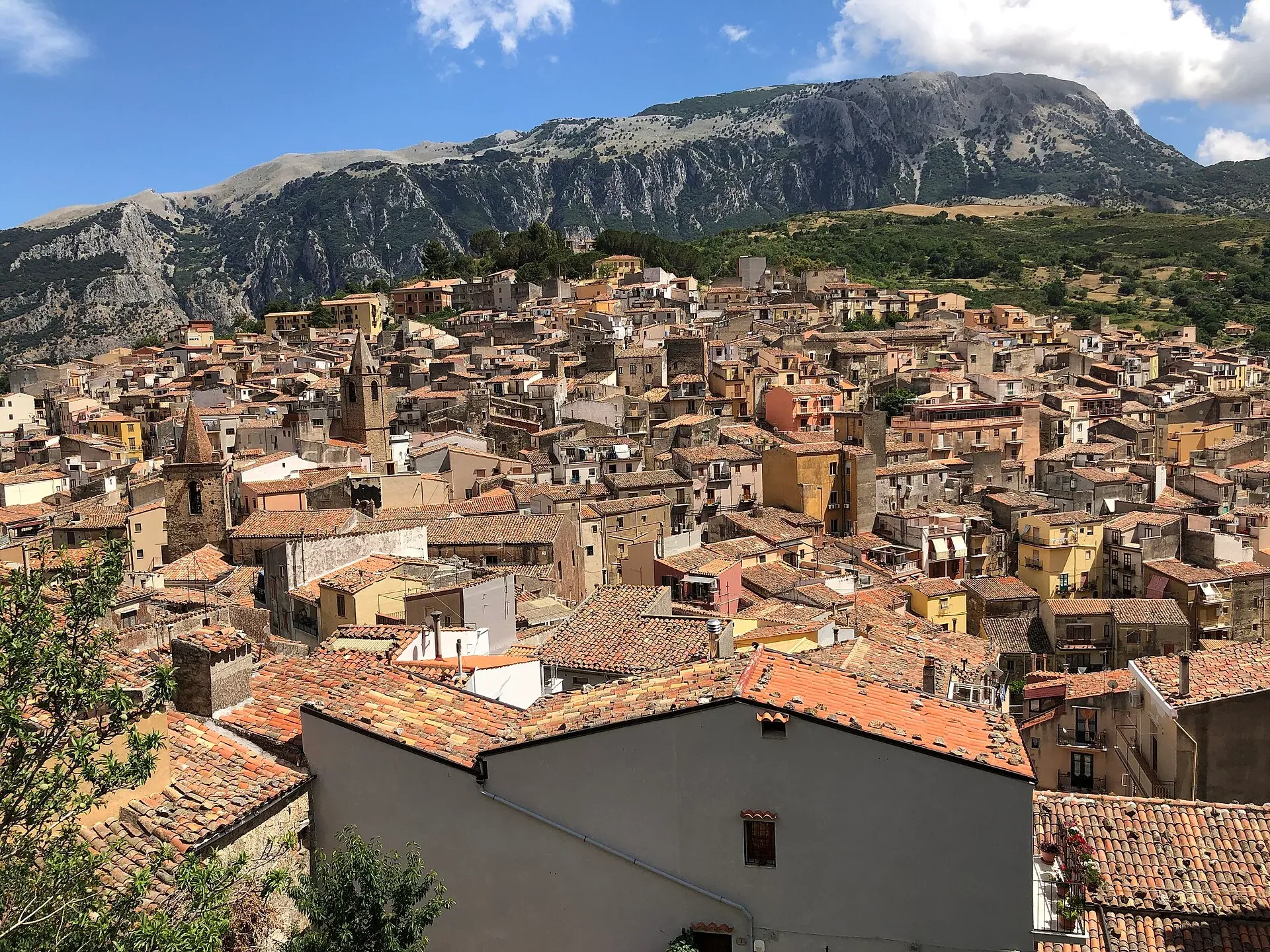
583 m a.s.l.
The town of the stars, beneath the Madonie cliffs
423 m a.s.l.
The town of the Ventimiglia castle, manna and testa di turco
Info
Safety in the Madonie: 112 and mountain rescue, 1515 for fires, hospitals, warnings to check, typical risks and what to carry on a hike in the Park.
Info
The rules of the Madonie Park: zones A, B, C and D, official bans, camping, fires, mushrooms, dogs, drones and cars, with sources from the Ente Parco.
Travel info