Itineraries
Nature and landscapes
The best viewpoints in the Madonie: Pizzo Carbonara, Madonna dell'Alto, Monte San Salvatore, Pollina and the SP54 lookouts. Where to see Etna and the Aeolians.
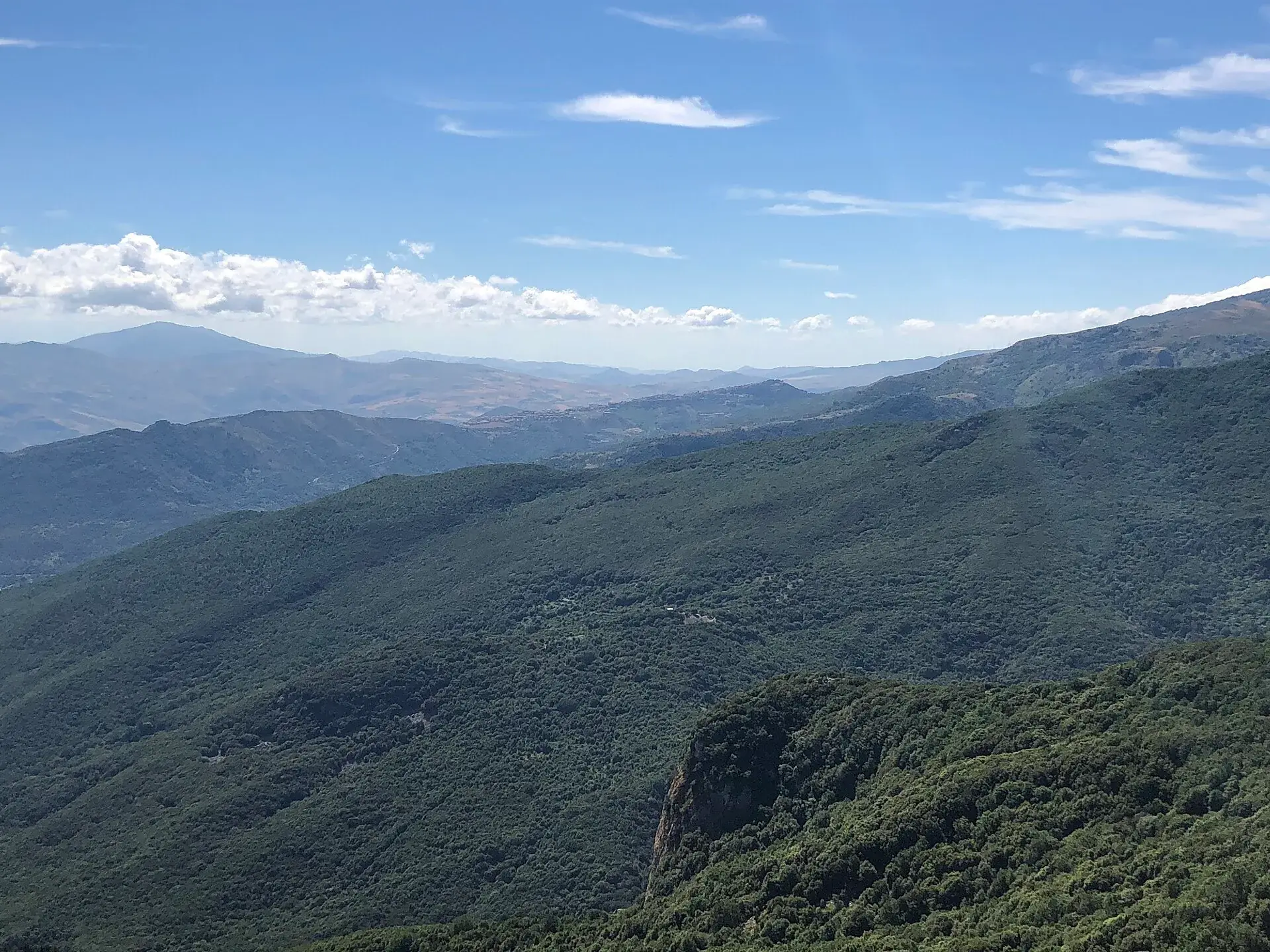
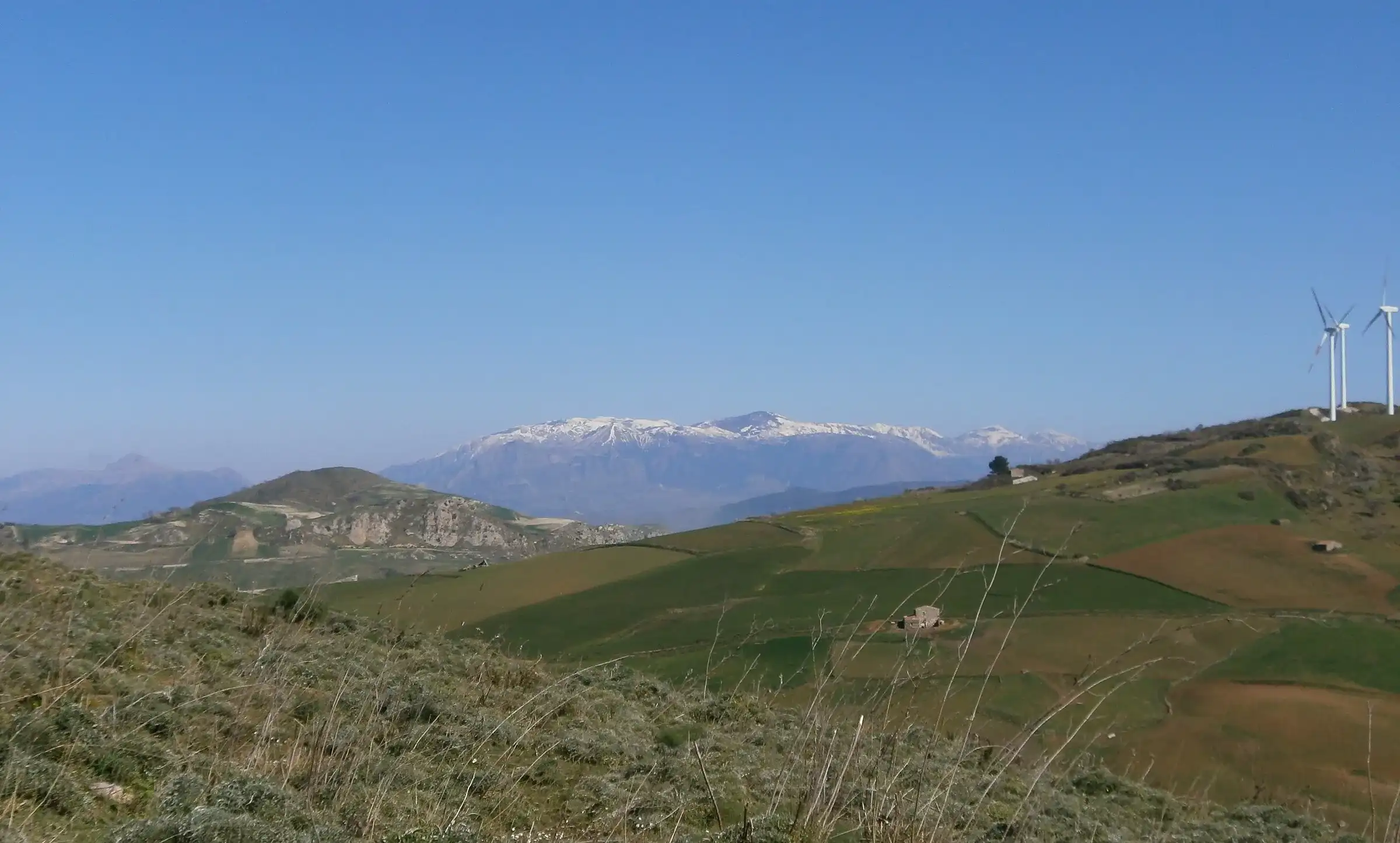
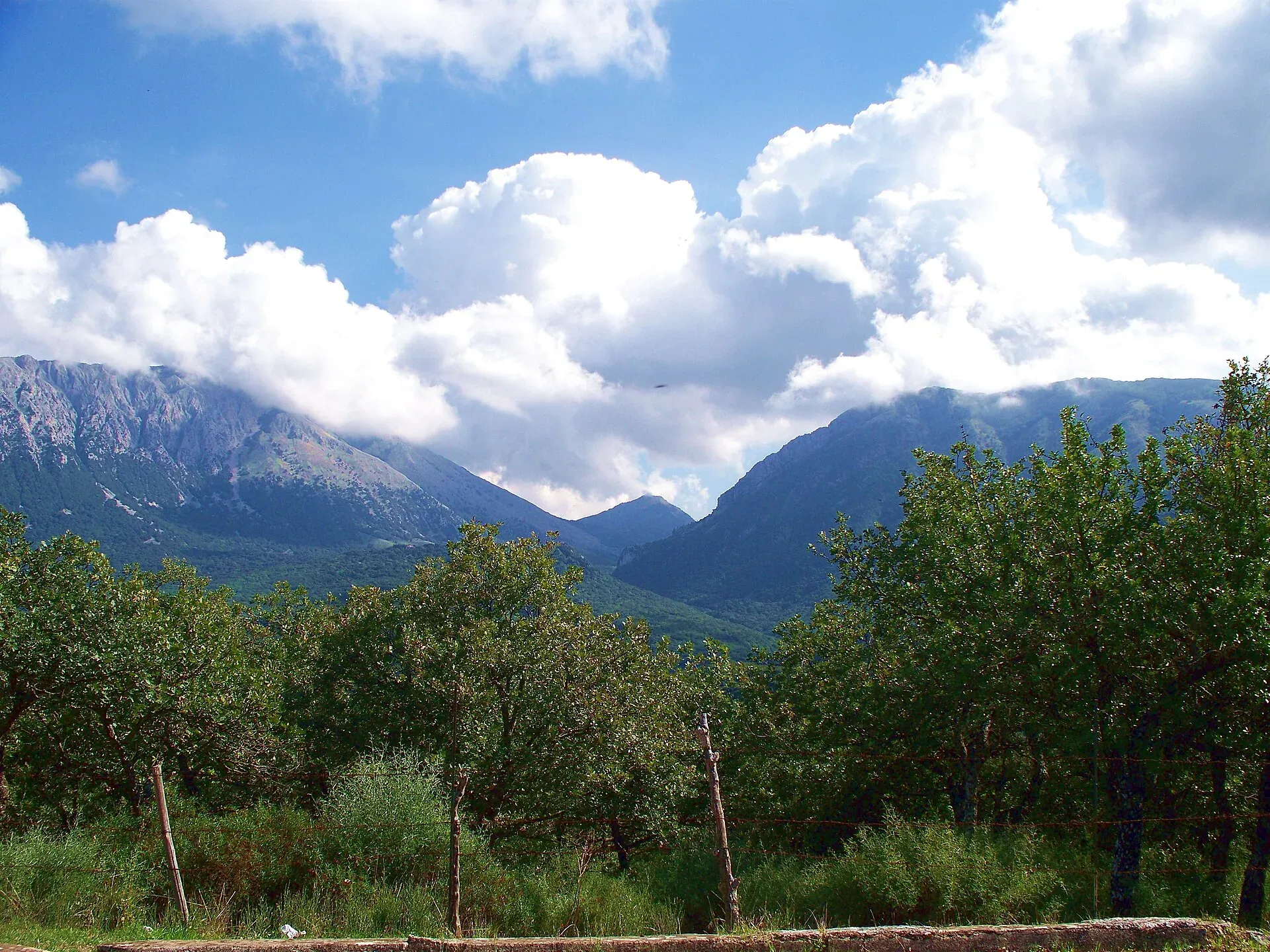
From the Madonie, on clear days, you can see Etna, the Aeolian Islands and the sea at Cefalù. The widest view is from Pizzo Carbonara, 1,979 metres: according to CAI Sicilia the Aeolian Islands can often be made out to the north, the Nebrodi to the east and sometimes Etna. Without walking, the easiest lookouts are the village of Pollina, with the Aeolian Islands on the horizon, and a spot on the SP54 just before Piano Battaglia, facing Etna.
The Madonie sit almost in the middle of Sicily’s north coast, between the Tyrrhenian Sea and the interior. That is why from the peaks you look at two worlds: the sea and islands to the north, the hills and volcanoes to the east and south. This guide gathers the viewpoints with the sources that describe them.
At a glance
This table brings together the lookouts described by official and local sources. Effort shows how much walking is involved.
| Viewpoint | Height | What you see | Effort | Source |
|---|---|---|---|---|
| Pizzo Carbonara | 1,979 m | Aeolian Islands, Nebrodi, Etna, gulfs of Termini and Palermo | Hike, 4-5 hours | CAI Sicilia, Balarm |
| Madonna dell’Alto sanctuary | over 1,800 m | 360 degrees: Etna, Imera valley, mountains of the Agrigento area | Hike | Tourist district |
| Monte San Salvatore | 1,912 m | The two Petralias, villages, Nebrodi, Etna | Hike | Tourist district |
| Monte Scalone | n/a | Vallone Madonna degli Angeli, Madonna dell’Alto, Monte Cavallo | Hike | Tourist district |
| Portella Arena | n/a | The Quacella amphitheatre | Walk | Park Authority |
| SP54 lookout | n/a | The valley and Etna | By car | Balarm |
| Scopalacqua waterfall | n/a | Ravine and waterfall | By car and a few steps | Park Authority |
| Pollina | n/a | Aeolian Islands, Rocca di Cefalù, Madonie villages | By car | Park Authority |
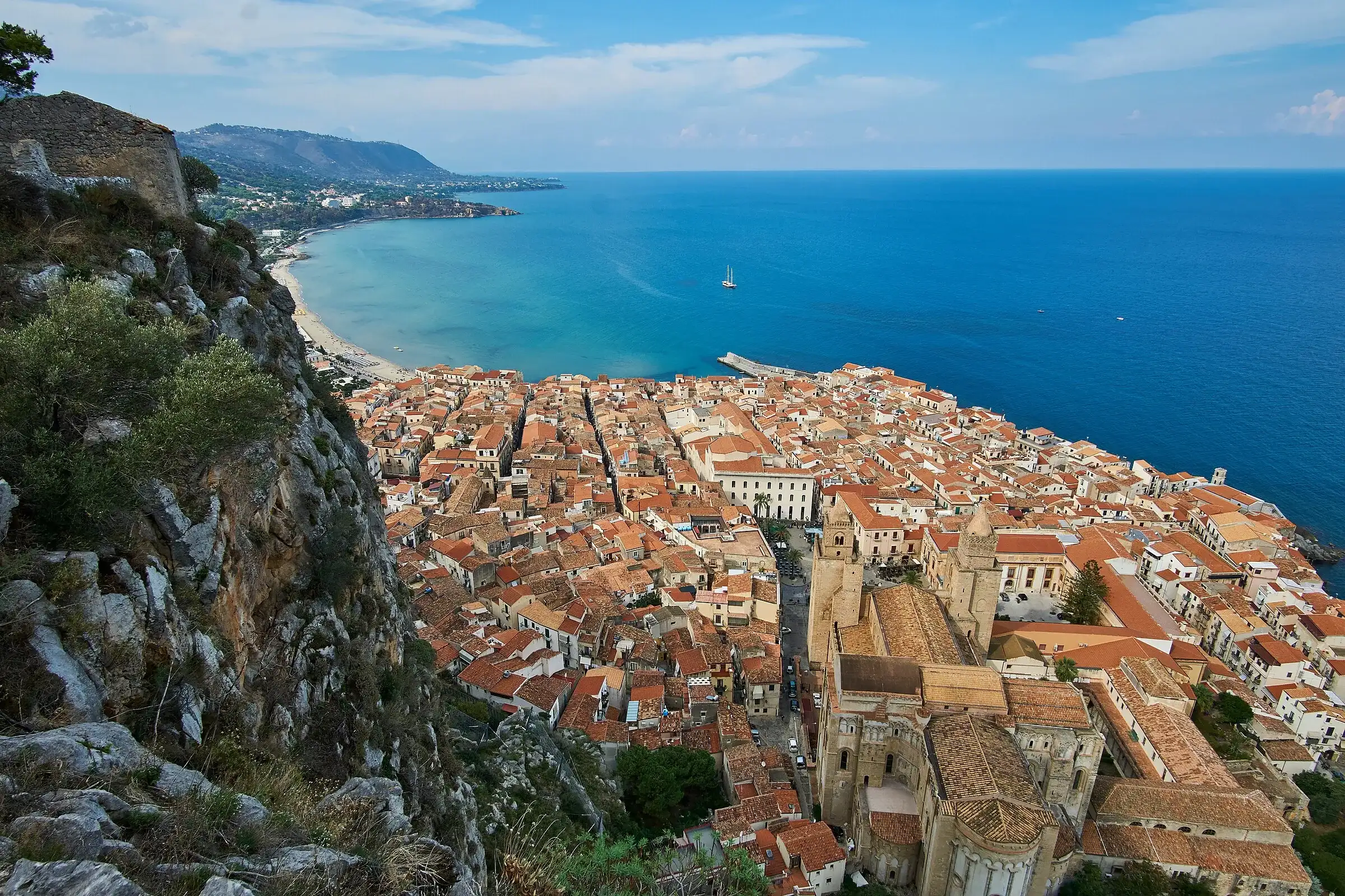
| Rocca di Cefalù | 268 m | The cathedral, the harbour and the sea | Short climb | Wikipedia, our trail page |
| Rocca di Sciara | 1,080 m | Caltavuturo and the Park | Short hike | Park Authority |
Pizzo Carbonara is the highest peak of the Madonie and the second highest in Sicily after Etna. CAI Sicilia writes that on days without haze you can make out from the summit the Aeolian Islands to the north, the Nebrodi range to the east and sometimes Etna.
Balarm adds the full list, on the best days: Monte Soro in the Nebrodi, Etna, Enna, Monte Cammarata, the Sicani mountains, Rocca Busambra, the gulfs of Termini and Palermo, Capo Zafferano, Monte Pellegrino, Capo Gallo, the Aeolian Islands and the Gibilmanna sanctuary.
The loop starts at Piano Battaglia, follows CAI trail 551 and takes about 4 to 5 hours according to the CAI. Start point, difficulty and tips are on the Pizzo Carbonara page. Before going up check the weather on Pizzo Carbonara: in fog you see nothing and the plateau becomes hard to cross.
Balarm describes the hike up Pizzo Carbonara to watch the sunset or the sunrise. For a summer sunset it suggests setting off around 5 pm; for sunrise between 4 and 4.30 am. In the dark you need torches, hiking boots and a jacket for the cold at the top, and it is better to go with a local guide if you do not know the route.
The Madonna dell’Alto sanctuary stands on the summit of Monte Alto, at over 1,800 metres: Wikipedia gives 1,819 metres, the Cefalù Madonie tourist district pages between 1,819 and 1,827. The district describes a 360-degree view from the church over valleys, hills, rivers and mountains, with Etna in the distance, the Imera valley and the peaks of the Agrigento area.
You reach it on foot by trail 553 from Nociazzi, near Castellana Sicula, or by the Sentiero della Pace from Petralia Sottana. On 14 and 15 August the sanctuary is the goal of the feast with a torchlight procession.
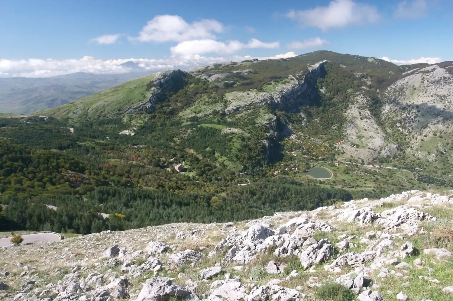
Next to it is Monte San Salvatore, 1,912 metres. From the top, according to the tourist district, you see the two Petralias, other Madonie villages, the Nebrodi and Etna. The climb from Portella Colla is on the Monte San Salvatore page.
Trail 557 from Pomieri climbs to Monte Scalone, from which, according to the tourist district, you see the whole Vallone Madonna degli Angeli, with the Madonna dell’Alto sanctuary and Monte Cavallo to the east. This is the home of the last Abies nebrodensis, described in the guide to the Sicilian fir.
On the geological trail from Piano Battaglia to Portella Colla, after a stretch through the woods, you reach Portella Arena. From here the Park Authority describes the Quacella amphitheatre, with isolated spires that look like “a gothic cathedral carved in the rock”. It is one of the easiest views in the high Madonie, on a trail graded easy.
You do not always need to walk. These spots can be reached by car or with a few steps.
On the SP54 towards Piano Battaglia. Balarm points to a viewpoint on the road climbing from the Petralias to Piano Battaglia, about 300 metres before you arrive, overlooking the valley and Etna. With low fog, it writes, the peaks of the Nebrodi and Etna rise out of a white sea.
On the road from the Petralias to Gangi. According to the same article, at dusk Etna appears behind the lit-up town of Gangi.
Scopalacqua waterfall. On the SP54, in the municipality of Petralia Sottana, the Park Authority made the geosite area safe in 2024 and calls it one of the Geopark’s viewpoints. The waterfall drops about 40 metres: see the guide to gorges, caves and waterfalls.
Pollina and the Teatro Pietra Rosa. According to the Park Authority, from Pollina you can see the villages of Castelbuono, Isnello, San Mauro Castelverde and Geraci Siculo, most of the park’s mountains, the Rocca di Cefalù and all the Aeolian Islands. The Teatro Pietra Rosa, built into the pinkish dolomite rock below the Maurolico tower, is the right place to look: Italia.it recommends seeing it at sunset. See the Pollina page.
Rocca di Cefalù. The 268-metre headland above the town is climbed from the old centre on steps and a paved path. From the top you see the Norman cathedral, the harbour and the coast. There is an entry fee: see the Rocca di Cefalù page.
Rocca di Sciara, Caltavuturo. The geological trail climbs from via Terravecchia to the ruins of the San Nicola hermitage. The Park Authority describes a view from the top over the town and the Madonie Park.
Grotta Grattara, Gratteri. The path from the San Nicola plateau leads to the cave, at the foot of Pizzo Dipilo, from where the Park Authority describes a very wide landscape.
Bosco Sugheri, Geraci Siculo. Next to the monumental cork oak, about 500 years old, the gaze sweeps from the Carbonara massif across the Castelbuono valley to the sea, writes the Park Authority.
Some trails of the Cefalù Madonie tourist district are known for their views all the way along.
Trail 565 also passes the foot of Pizzo Canna, 1,428 metres, which the district describes with a grand view. From 1 February to 30 July, however, that stretch is closed while golden eagles nest.
Visibility decides everything. The sources insist on days without haze: CAI for the Aeolian Islands from Carbonara, Balarm for Etna. Dawn and sunset are the recommended times, both for the light and for the clearer air.
In winter, snow-capped Etna seen from Pizzo Carbonara is the sight Balarm recommends to fit walkers, but mountain roads may close. Check the Madonie driving guide and the snow section. At night the Madonie are also a place to look at the sky: in August 2026 the Park Authority reported a Perseids stargazing evening at Piano Battaglia.
For the peaks these views open from, see the guide to the Madonie peaks; for the plateaus where the walks start, the guide to the plateaus.
Updated on 19 October 2026
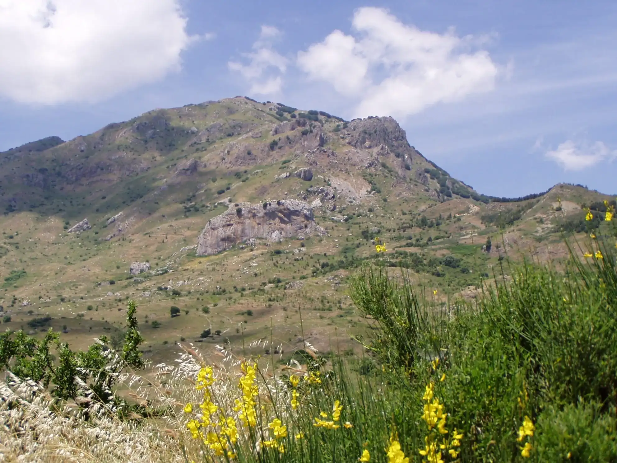
 Hiking trail
Piano Battaglia · Loop
 Hiking trail
Piano Noce, SP119 · Out and back
 Easy walk
Cefalù · Out and back
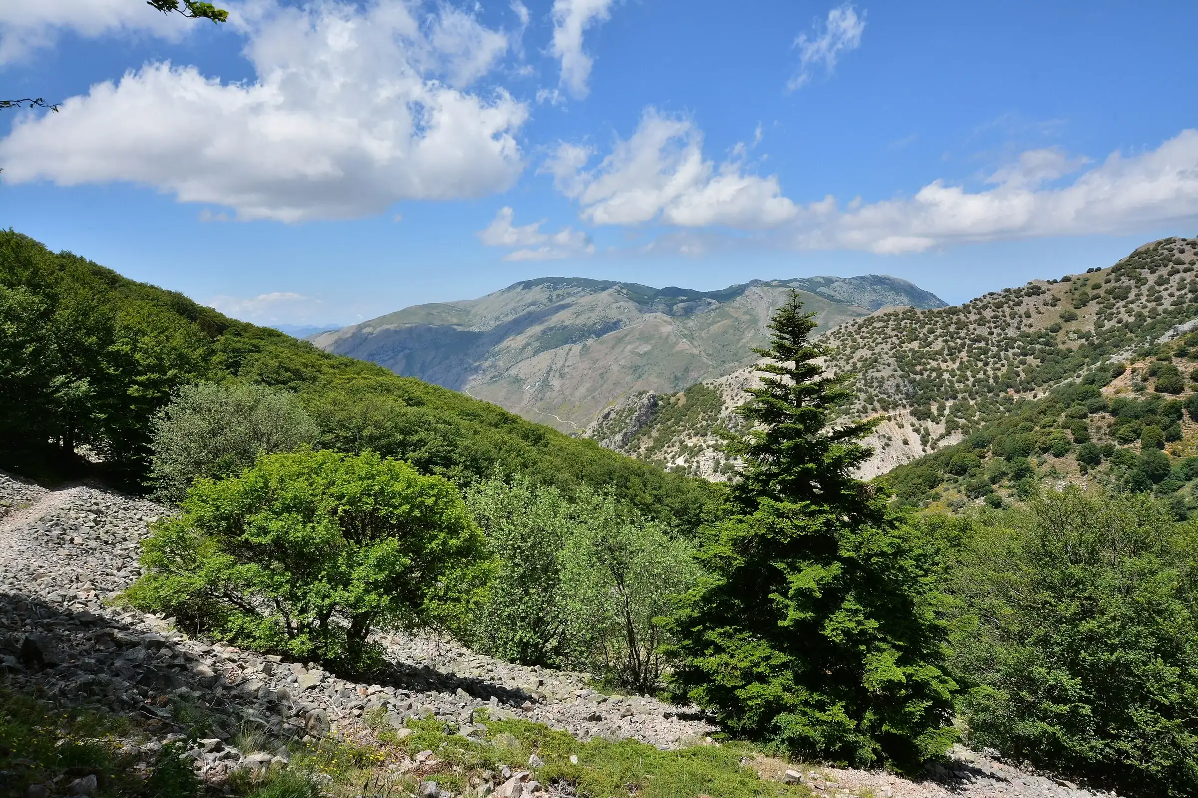 Hiking trail
Contrada Quacella, SP119 · Loop
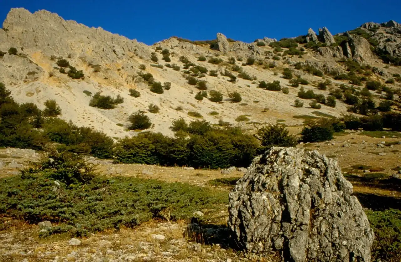 For experienced hikers
Polizzi Generosa · Out and back
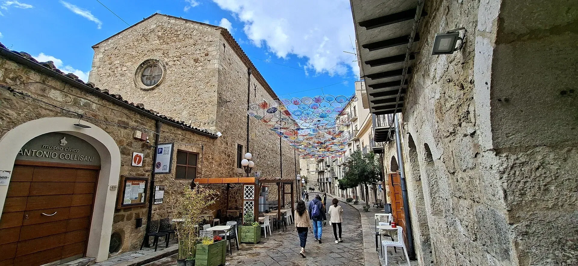
1,039 m a.s.l.
Home of the Madonie Park, at the foot of Piano Battaglia
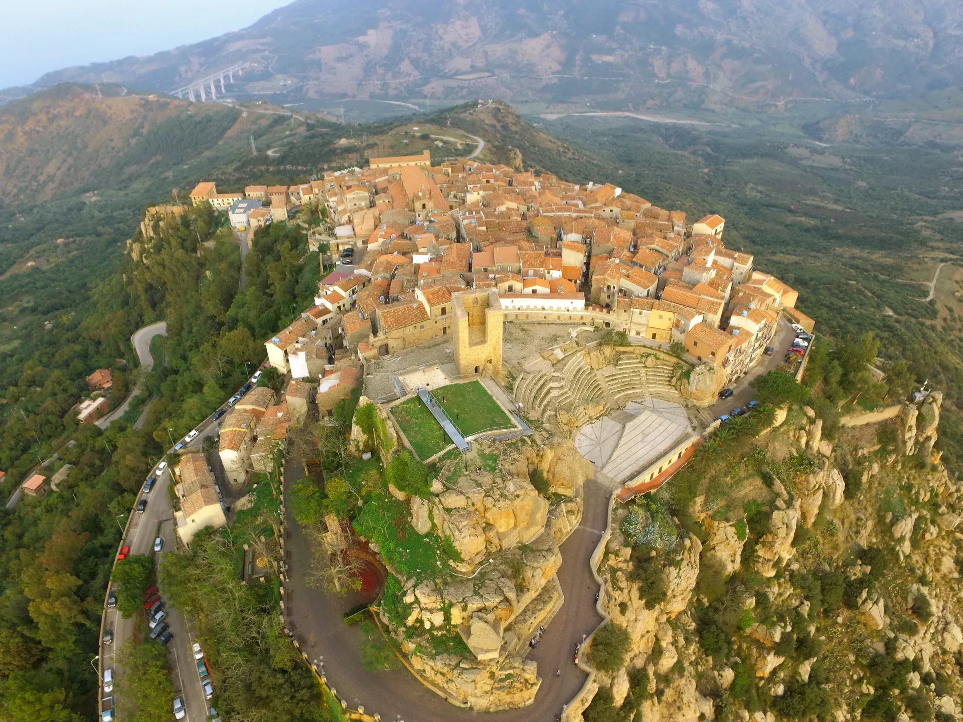
664 m a.s.l.
The stone theatre and the manna, above the sea at Finale
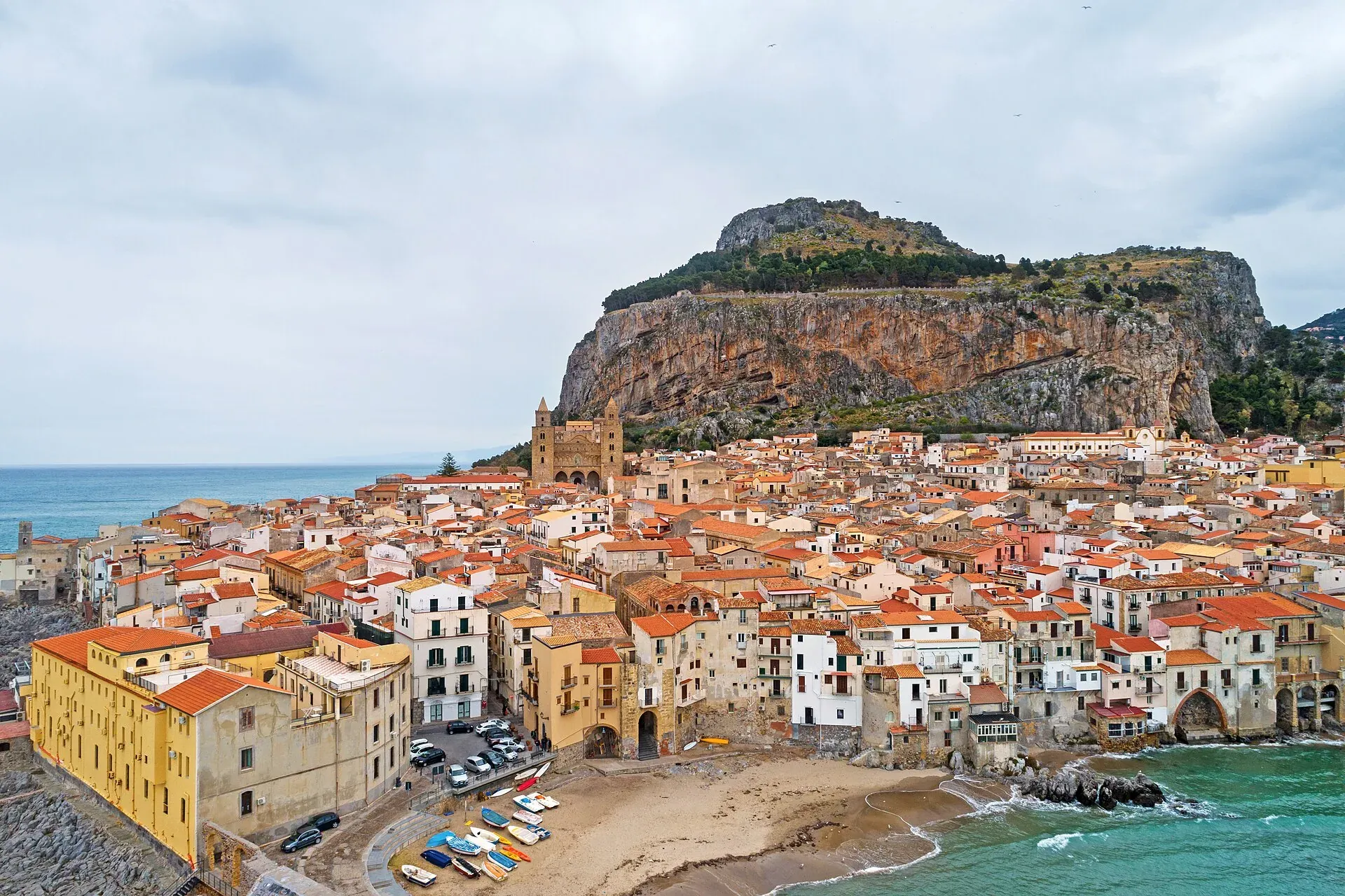
16 m a.s.l.
The Norman cathedral, the Rocca and the sea at the foot of the Madonie
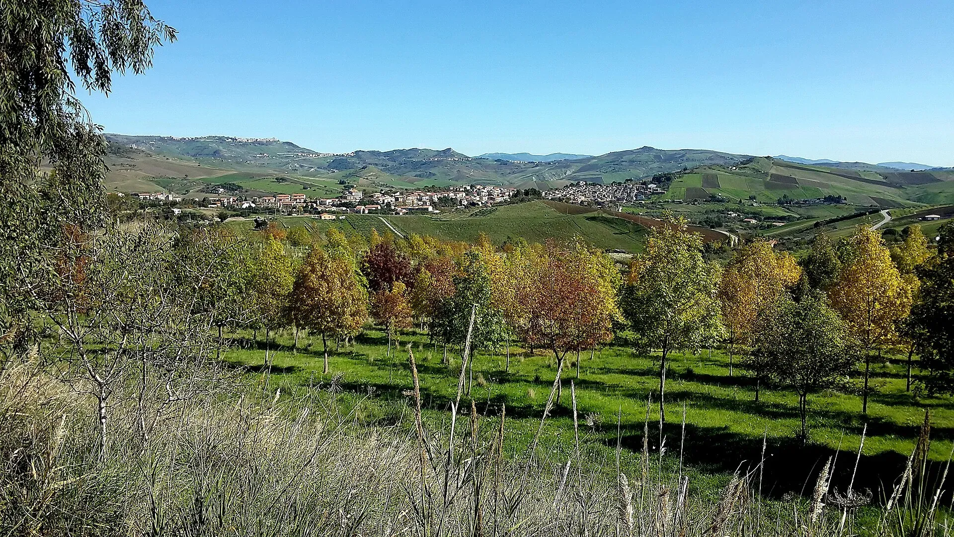
774 m a.s.l.
The village of hamlets and murals
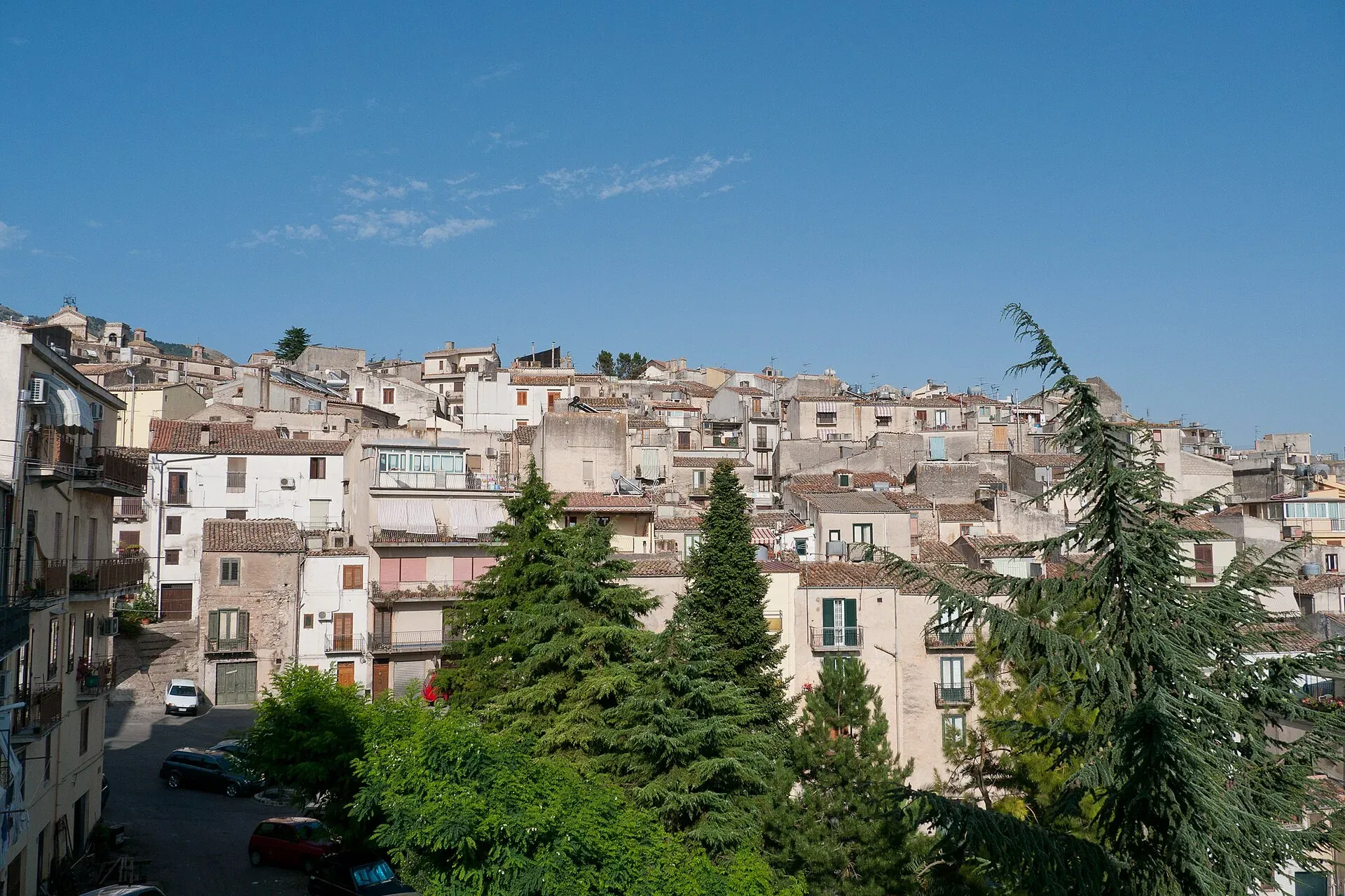
920 m a.s.l.
The town of the Abies nebrodensis, sfoglio and badda beans
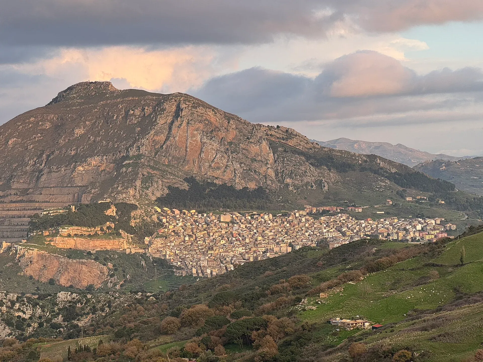
631 m a.s.l.
The village below the Rocca di Sciara
680 m a.s.l.
The terrace over the Tyrrhenian Sea above Cefalù
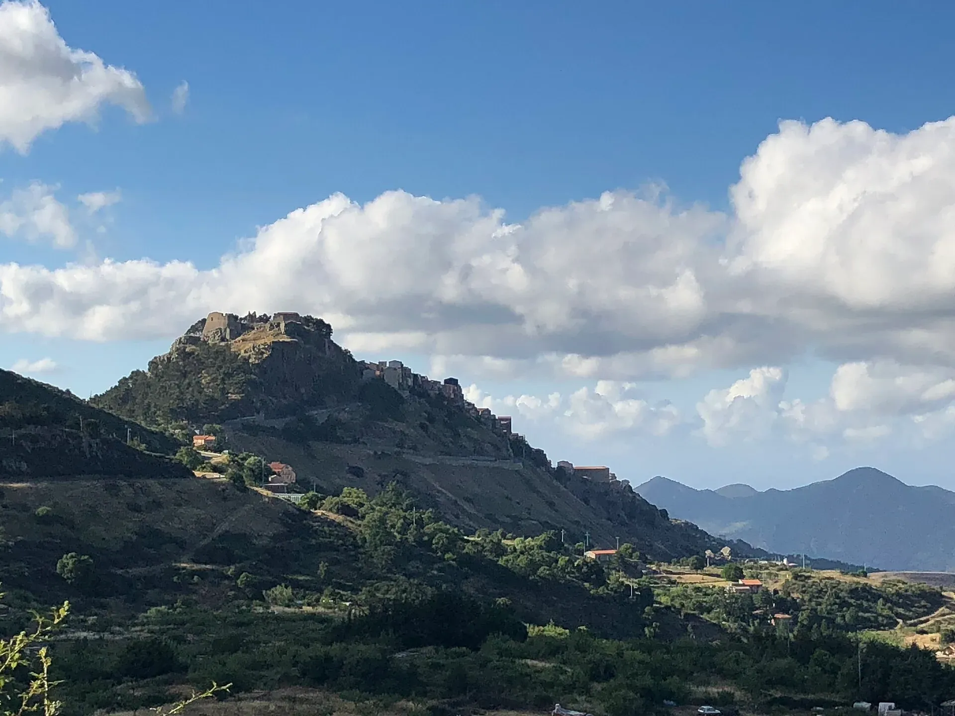
1,077 m a.s.l.
The first capital of the Ventimiglia, above the Madonie woods
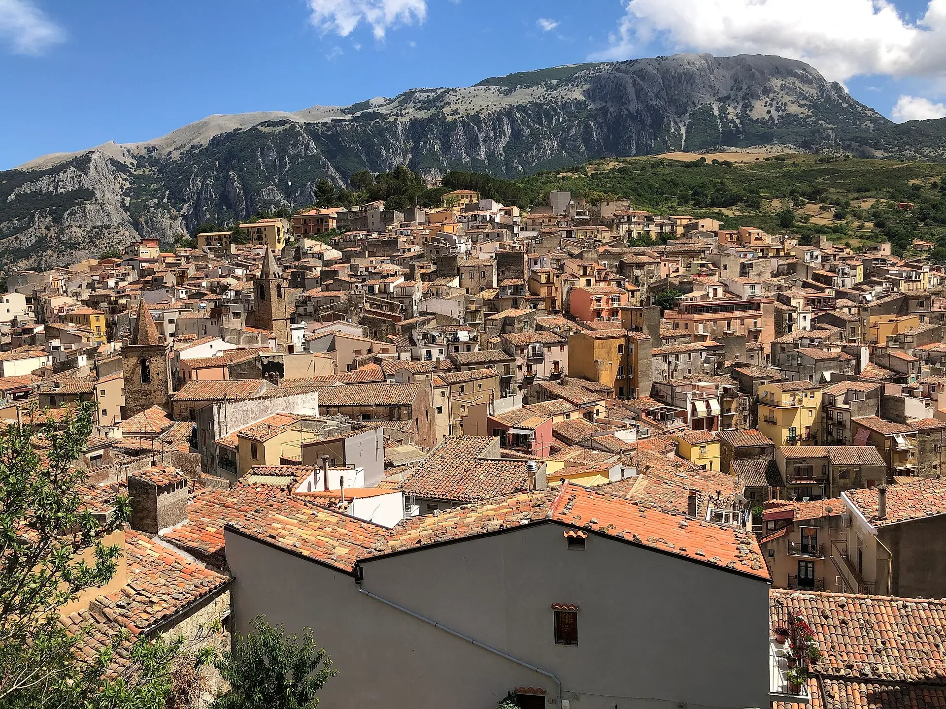
583 m a.s.l.
The town of the stars, beneath the Madonie cliffs
Nature
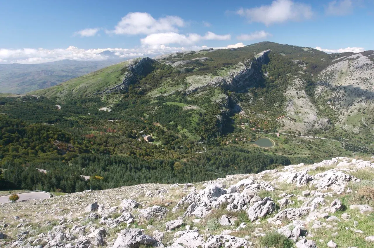
The peaks of the Madonie: Pizzo Carbonara 1,979 m, Pizzo Antenna Grande, Monte San Salvatore, Quacella and Mufara. Table of heights, trails and practical tips.
Nature
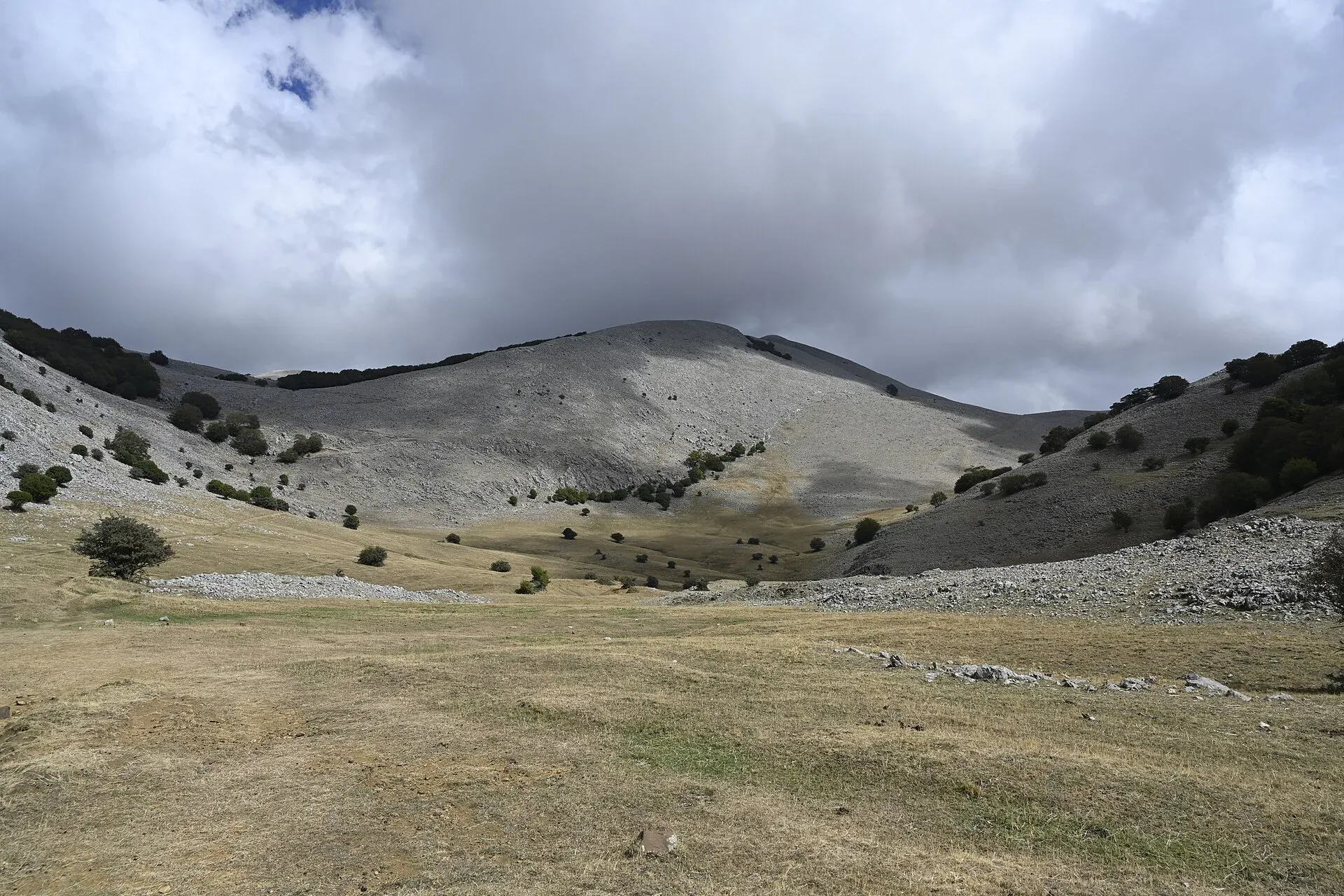
The plateaus of the Madonie: Piano Battaglia at 1,572 m, Piano Zucchi, Piano Sempria, Piano Cervi, Piano Pomo and Piano Catarineci. Heights, access, what to do.
Nature
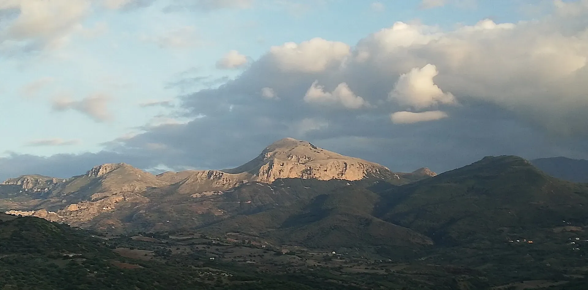
Madonie UNESCO Global Geopark: a geopark since 2001, UNESCO since 2015, 70 geosites and 220 million years of history. What to see, geological trails, museums.
Nature
Madonie Park (Parco delle Madonie): 39,679 hectares and 15 towns between Cefalù and the Petralias, founded in 1989. Zones, rules, sights and how to get there.
Nature
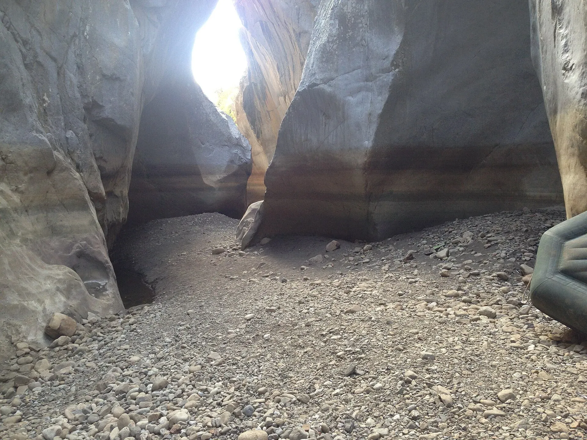
Gole di Tiberio, Grotta Grattara, Abisso del Vento, Abisso del Gatto and Scopalacqua falls: where they are, how to visit and what is banned in the Madonie.
Nature
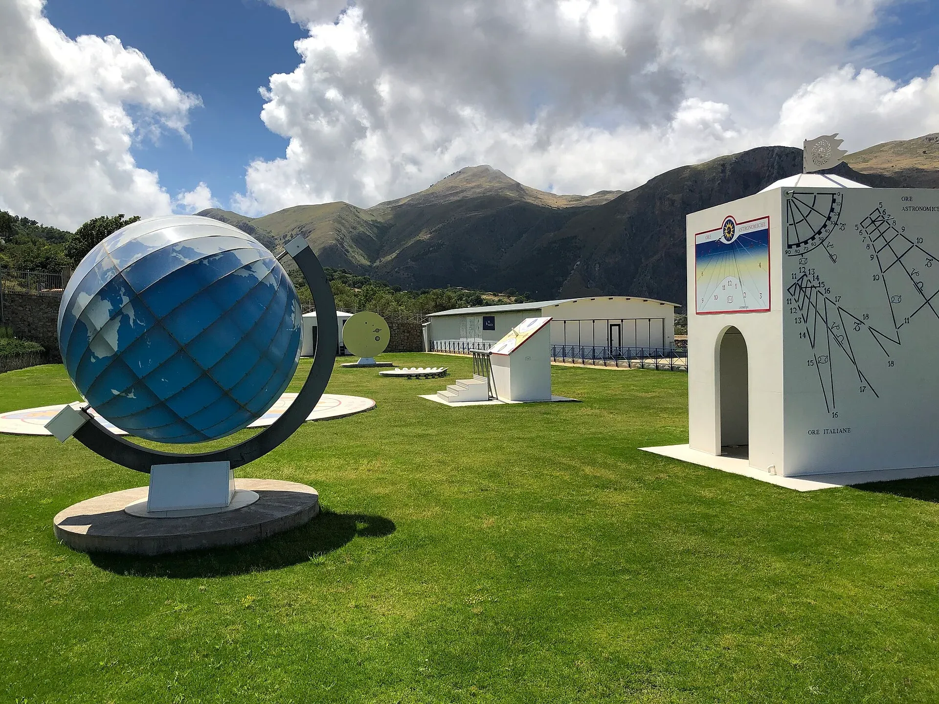
GAL Hassin astronomy park in Isnello: planetarium, telescopes, 2026 opening hours and tickets, summer stargazing nights and the Starlight sky of the Madonie.
Itineraries
Nature