Caltavuturo · Out and back
Rocca di Sciara geological trail, Caltavuturo
The Rocca di Sciara geological trail in Caltavuturo: a short climb to the San Nicola hermitage among red radiolarites and limestone. Duration, start, season.
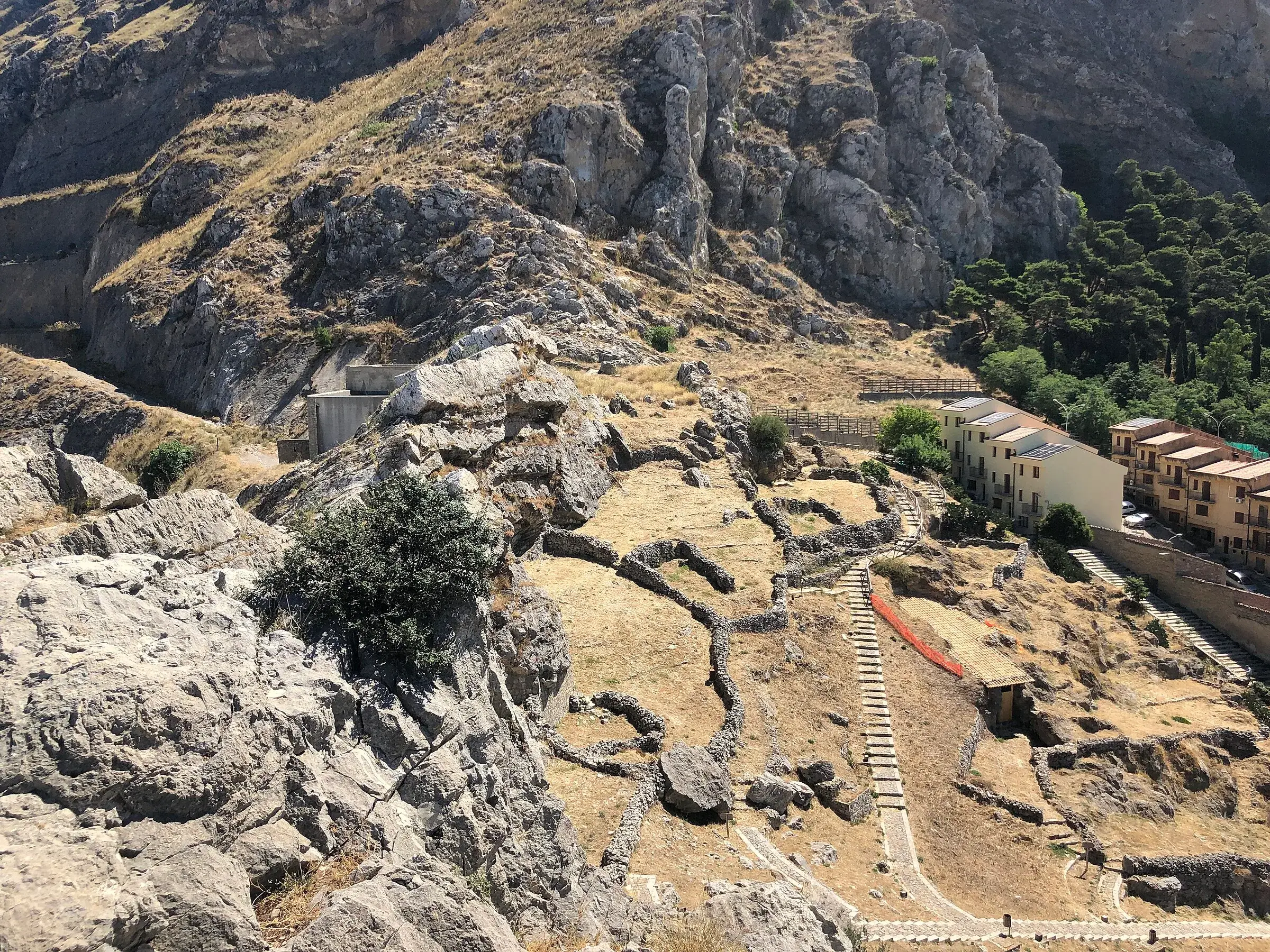
Along the way
- Rocks of the Imerese Domain from over 200 to about 24 million years ago
- Wine-red radiolarites and green clays
- Fossil sponges in the limestone
- Ruins of the San Nicola hermitage on the summit
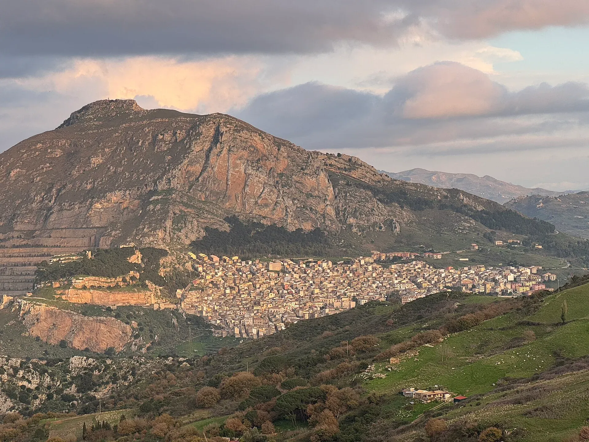
- Views over Caltavuturo, Terravecchia and Piano Battaglia
The Rocca di Sciara geological trail climbs from Caltavuturo to the top of the limestone crag that towers over the village, at about 1,080 metres, where the ruins of the San Nicola hermitage remain. It is about 2 km and an hour of walking uphill, not counting stops, and you return the same way. It is a short hiking trail, suitable for families, best from October to May.
It is a small open-air museum: in an hour you walk through almost 200 million years of Earth’s history.
Why climb the Rocca di Sciara
To see the Madonie from the inside, literally. The Cefalù Madonie tourist district explains that the Rocca and its surroundings show an almost complete sequence of the rocks of the Imerese Domain, an ancient deep-sea basin, from over 200 to about 24 million years ago.
And for the view from the top over Caltavuturo, the ruins of the Terravecchia castle, which lie just below the Rocca, and the rest of the Park.
What you see along the trail
The trail is marked by observation points. From the start you see the whole Rocca and understand how the layers are stacked.
Climbing among holm oaks, cork oaks and pines you meet the radiolarites and siliceous clays: first grey-green and well layered, with a band of limestone where you can make out fossil sponges. Further on the same rocks turn wine red, purple-grey and brown, so eroded they look floury. A sharp contact with a limestone bank shows where the rocks were deformed by tectonics.
At the top is the medieval San Nicola hermitage. After restoration, Caltavuturo’s tourism site writes, you can read the rectangular plan, the apse with a small pointed window and the remains of the door. The same site mentions a boulder with a Latin inscription about the Last Judgement expected around the year 1000.
From the summit, to the north-east, you see the highest peaks around Piano Battaglia. The district describes it as a spot that sums up the geology of the Madonie in a way that is hard to find elsewhere.
Who it is for
The trail is graded E. It climbs about 300 metres with no exposed passages, so it also suits children and families used to walking.
The sheer wall above the village is used for sport climbing, but that is another world: from the trail you do not go near the edge.
When to go
October to May. The Rocca is low and in summer the slope heats up a lot: if you climb between June and September, do it early in the morning. Check the weather in Caltavuturo before you go.
How to get to the start
The trail starts on the edge of Caltavuturo, near the sports ground. The Madonie Park suggests leaving the car in Via Terravecchia. The “Directions to the start” button on the page takes you to the beginning of the track.
Where to sleep and eat
You will find accommodation in where to stay in Caltavuturo and restaurants in where to eat in Caltavuturo.
Around mid-August the village hosts the International Folklore Festival. The Caltavuturo page covers Terravecchia, the civic museum and the Gole di Gazzara, reached on another walk.
Tips
- Bring water: there are no fountains along the trail.
- A magnifying glass makes the fossil hunt more fun, but the stones stay where they are.
- Shoes with a grippy sole: on the way down the clays are slippery, especially after rain.
Weather at the start
Weather in Caltavuturo →16°
Mostly clear
- Today
- 14° / 22°
- Wind
- 11 km/h S
- Snow on ground
- no
- Freezing level
- 3,850 m
- Tue 2014° 22°
- Wed 2115° 22°
- Thu 2213° 19°
- Fri 2311° 19°
- Sat 2410° 18°
Updated on 20 October at 08:48 · Forecasts Open-Meteo.com (CC BY 4.0)
Frequently asked questions
- How long is the Rocca di Sciara trail?
- The climb is about 2 km and the page calculates about an hour of walking without stops to reach the top. You come down the same way, so allow a couple of hours in all, plus time to stop at the geological points and the hermitage.
- Is the Rocca di Sciara difficult?
- The trail is graded E, a hiking path. It climbs steadily for about 300 metres, among holm oaks, cork oaks and pines, with no exposed passages. The vertical wall above the village is another matter: it is used for sport climbing and needs equipment.
- Where does the Rocca di Sciara geological trail start?
- The trail starts on the edge of Caltavuturo, near the sports ground. The Madonie Park suggests leaving the car in Via Terravecchia. The Directions to the start button on the page shows where the track begins.
- Can you do it with children?
- It is one of the climbs best suited to families in the Madonie: short, with colourful rocks to look at and a ruin at the top. Keep children away from the edge of the wall above the village, which is a sheer drop.
- When should you climb the Rocca di Sciara?
- From October to May, on clear days. The Rocca is low, just over 1,000 metres, and in summer the sun heats the slope a lot. In winter, when the air is crisp, from the top you see the peaks around Piano Battaglia.
Sources
- Ente Parco delle Madonie, Sentiero geologico Rocca di Sciara, Caltavuturo
- Distretto turistico Cefalù Madonie Himera, G5 sentiero geologico Rocca di Sciara
- Caltavuturo turismo e cultura, Rocca di Sciara
- OpenStreetMap, relazione 14930435 (sentiero geologico Rocca di Sciara)
Page updated on 19 October 2026
Nearby
Villages nearby
More trails
You may also like
 Hiking trail
Contrada Quacella, SP119 · Loop
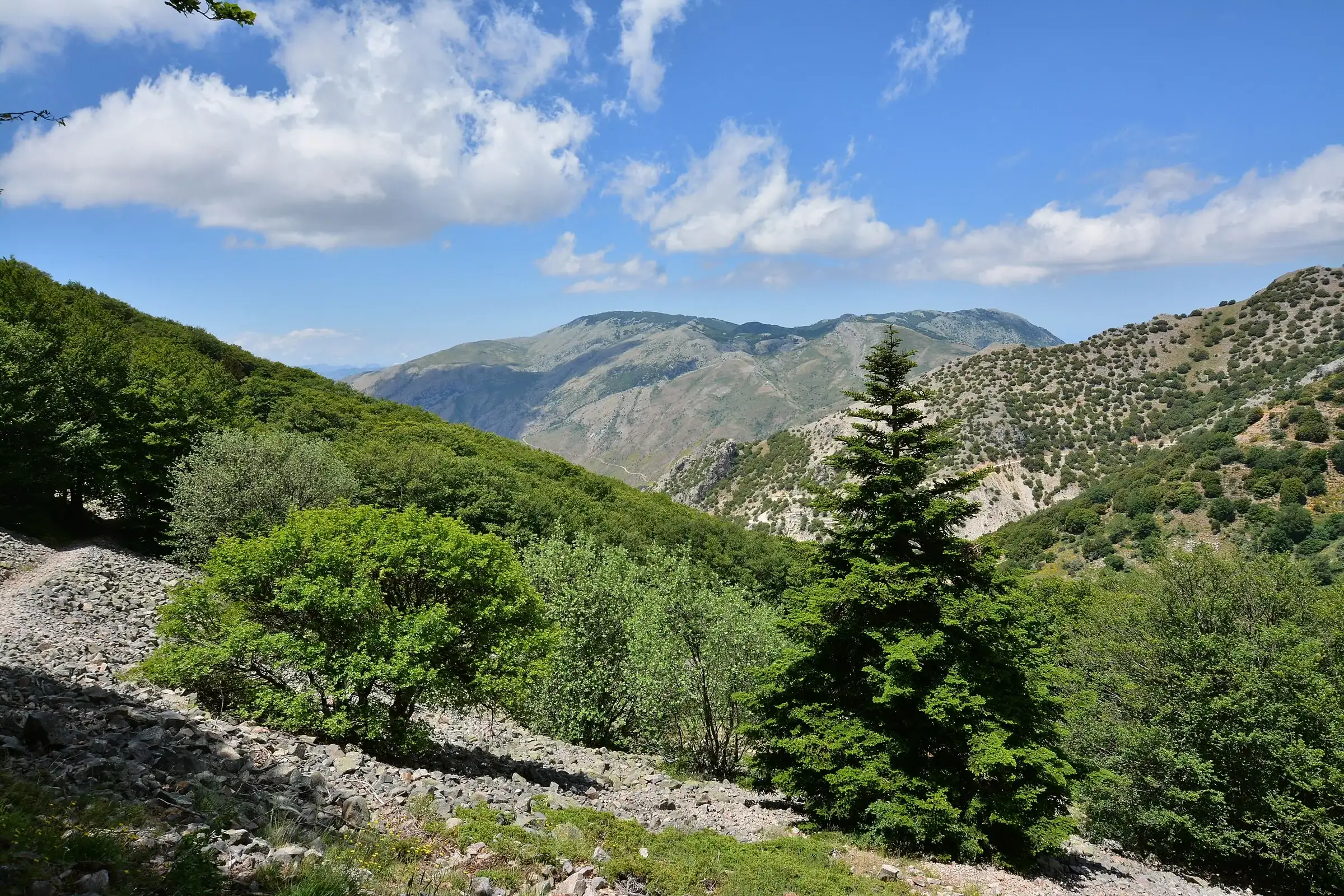
Vallone Madonna degli Angeli and the Abies nebrodensis
 Hiking trail
Piano Sempria · Out and back
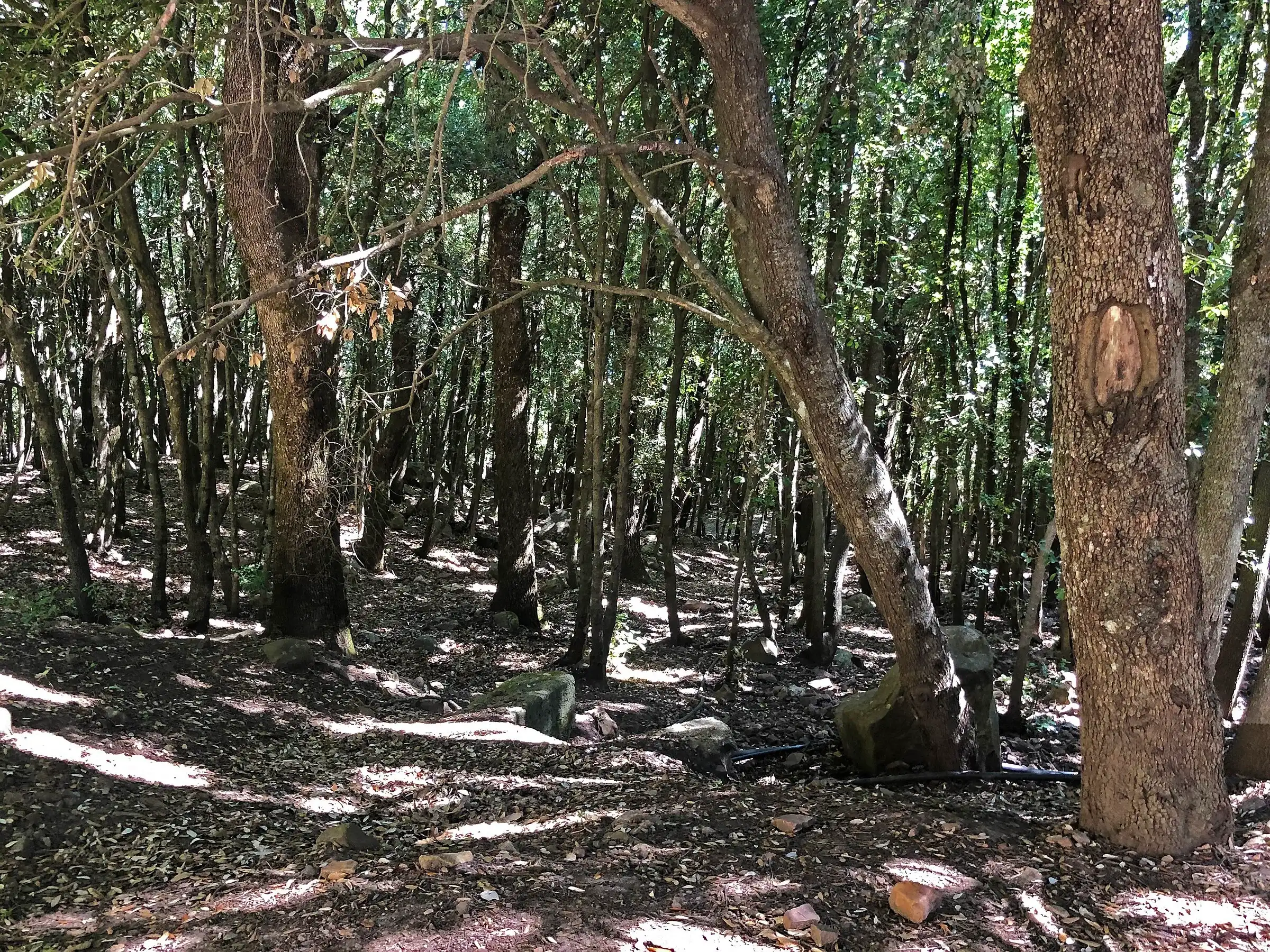
Bosco di Castelbuono: Piano Sempria and giant hollies
 Hiking trail
Case Marcatagliastro · Out and back
Gole di Tiberio, the Tiberio gorge in Sicily
- Distance
- about 2 km
- Time
- about 30 min