Things to do
Nature and landscapes
Madonie UNESCO Global Geopark: a geopark since 2001, UNESCO since 2015, 70 geosites and 220 million years of history. What to see, geological trails, museums.
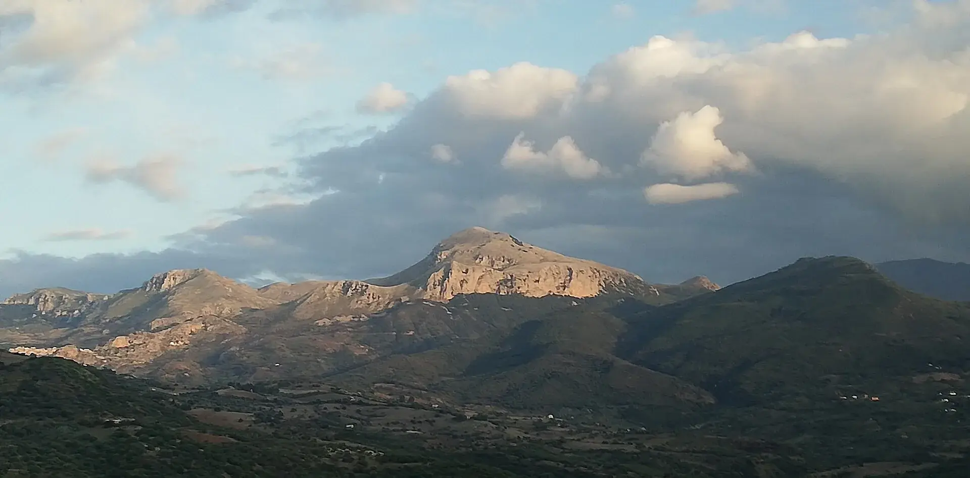
The Madonie UNESCO Global Geopark is the UNESCO global geopark that covers the Madonie Park and the nearby towns in northern Sicily. It has been in the European Geoparks Network since 2001 and on the UNESCO global list since 17 November 2015; the latest confirmation dates from September 2025. The geosite map published by the Park Authority in October 2026 counts 70, with rocks that tell about 235 million years of Mediterranean history.
In practice it is an open-air museum. You walk on what used to be a coral reef, spot fossils in church doorways and go down into canyons carved by rivers. This guide explains what there is to see and how to do it.
At a glance
The Park Authority defines it like this: an area with clear borders, a geological heritage of international importance and a sustainable development strategy for the people who live there. The heritage is measured through the inventory of geosites, the places where geology is easiest to read.
Geoparks are organised in two networks. The European Geoparks Network was born in 2000. The Global Geoparks Network was born in 2004 and since 2015 has been under the umbrella of UNESCO, through the international geoparks programme.
A UNESCO geopark is not a World Heritage Site. It is a different recognition, which lasts four years and is renewed only after an inspection on the ground.
The Madonie Park joined the European network in 2001. From 29 to 31 October 2004 Petralia Sottana hosted the 5th European Geoparks conference. In the same year UNESCO and the European network signed the Madonie Declaration in Petralia Sottana, which sets the rules for joining the network, and on that occasion the first geological trail in Sicily was opened.
On 17 November 2015, during the 38th session of the UNESCO General Conference in Paris, the Madonie joined the list of global geoparks.
Every four years the inspectors come. The colour of the card says how it went: green if all is well, yellow if there are recommendations to meet by the next inspection. The Madonie have had cards of both colours.
| Year | Outcome | Source |
|---|---|---|
| 2004 | Yellow card at the first revalidation | Madonie Park Authority |
| 2006 | Green card | Madonie Park Authority |
| 2019 | Green card after a yellow one, announced at Sierra Norte de Sevilla | Madonie Park Authority |
| 2025 | Green card after a yellow one, announced in Chile | Sicilian Region |
The 2025 confirmation came at the 11th International Conference on UNESCO Global Geoparks, in Chile. According to Balarm it is valid for another four years. In the same article environmental groups point to problems still open, such as wildfires and the project for an observatory on the summit of Monte Mufara.
ISPRA puts it in one sentence: the park and its surroundings contain every aspect of Sicilian geology except active volcanism. That is why the Madonie have been a training ground for geology students at the University of Palermo for decades.
The story begins about 235 million years ago, when there was a tropical sea here, the ancient Tethys Ocean. According to the Park Authority the “spirit of the place” of the geopark is a coral reef about 220 million years old, built by sponges, corals, sea snails, sea urchins and bivalves. Its fossils now crop out at almost 1,600 metres, around Piano Battaglia.
Then the collision between Africa and Europe pushed those seabeds upwards. The result is a mountain chain linking the mountains of North Africa with Calabria and the Apennines.
The Park Authority divides the geopark into four large domains, plus the recent deposits. Each one shapes a different landscape.
| Domain | Age | Where you see it |
|---|---|---|
| Panormide | Upper Triassic to Oligocene | Carbonara massif, Monte Mufara, Monte Quacella, Pizzo Dipilo, Rocca di Cefalù |
| Imerese | Upper Triassic to Oligocene | Monte dei Cervi, Monte Castellaro, Monte Fanusi, Rocca di Sciara |
| Numidian Flysch | Upper Oligocene to Lower Miocene | Monte San Salvatore, Madonna dell’Alto, Piano Catarineci, San Mauro Castelverde |
| Sicilide | Upper Cretaceous to Lower Miocene | Central-southern and north-western sectors |
Limestone and dolomite make the rugged peaks and pale cliffs. The sandstones of the Numidian Flysch make rounder, wooded hills. Clays make the gentle hills of the southern side.
From the 1950s oil company geologists studied the Madonie in search of hydrocarbons. Their research produced several geological formations, rock bodies with precise features that geologists now use all over Italy.
The Park Authority lists eight established in the geopark: Mufara, Scillato, Fanusi, Crisanti, Caltavuturo, Quacella, Polizzi and Castellana. Their reference outcrops are among the geosites to be protected.
Water dissolves limestone. In the high Madonie this process, which probably began in the Quaternary, has produced dolines, swallow holes, dry valleys and caves. In dialect the dolines are called quarare: on the Carbonara plateau they can be a few hundred metres across and up to 25 metres deep.
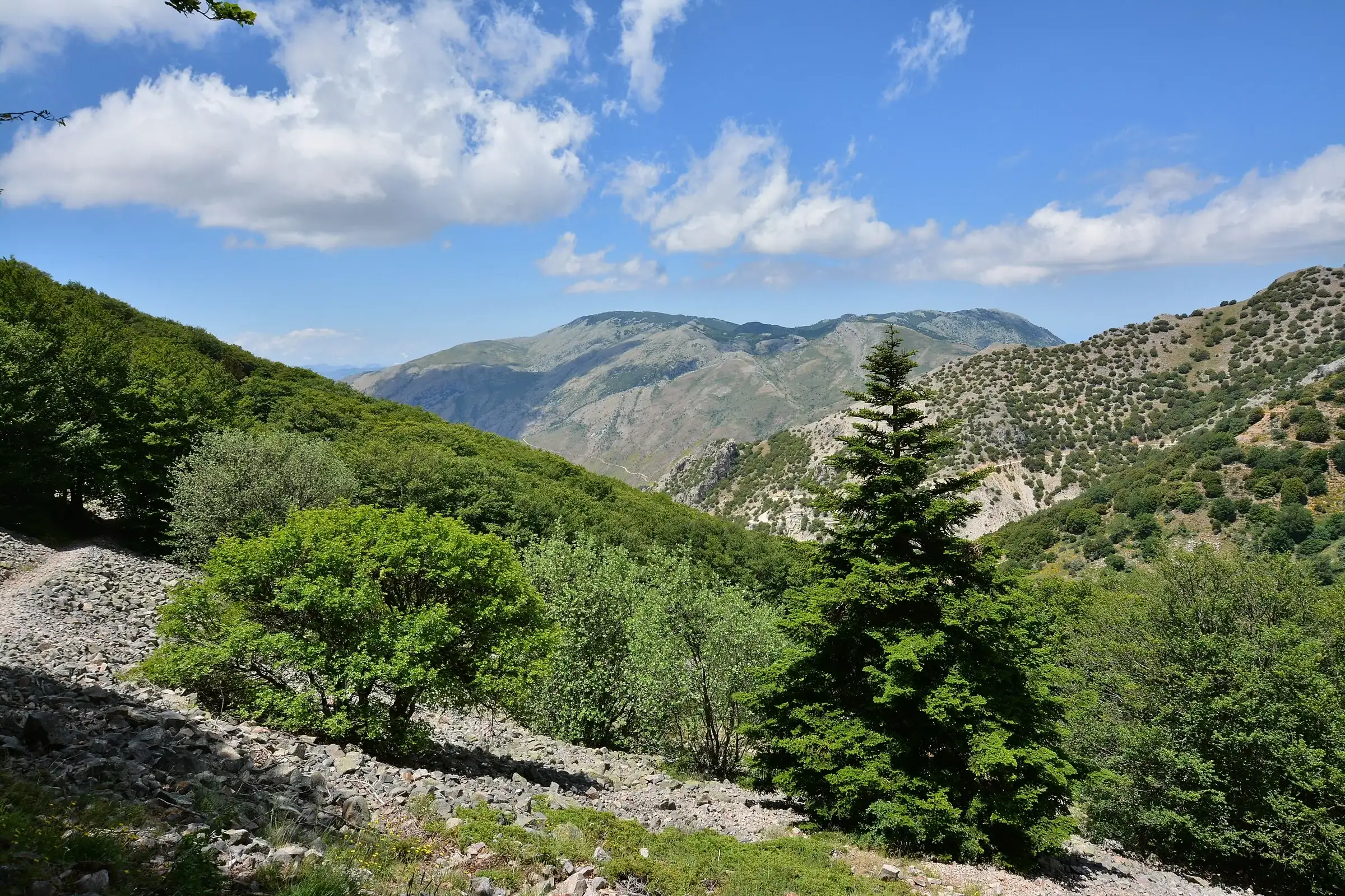
Piano Battaglia and the nearby Battaglietta are two large karst basins, called poljes, with a swallow hole at the bottom where rain and snowmelt disappear. The deepest caves, such as the Abisso del Vento at Isnello, are described in the guide to gorges, caves and waterfalls.
A geosite is a place where you can read a piece of the Earth’s history: an outcrop, a fossil, a landform. These are among the easiest to reach, chosen from the 2026 geosite map.
| Geosite | Town | What you see |
|---|---|---|
| Piano Battaglia polje | Petralia Sottana | High karst basin between Carbonara and Mufara |
| Battaglietta swallow hole | Petralia Sottana | Cave where rain and snowmelt disappear |
| Quacella amphitheatre | Polizzi Generosa | Dolomite walls and spires |
| Carbonara plateau | Petralia Sottana, Isnello | Dolines and karst surfaces above 1,600 metres |
| Vallone Scopalacqua waterfalls | Petralia Sottana | A drop of about 40 metres over quartz sandstone |
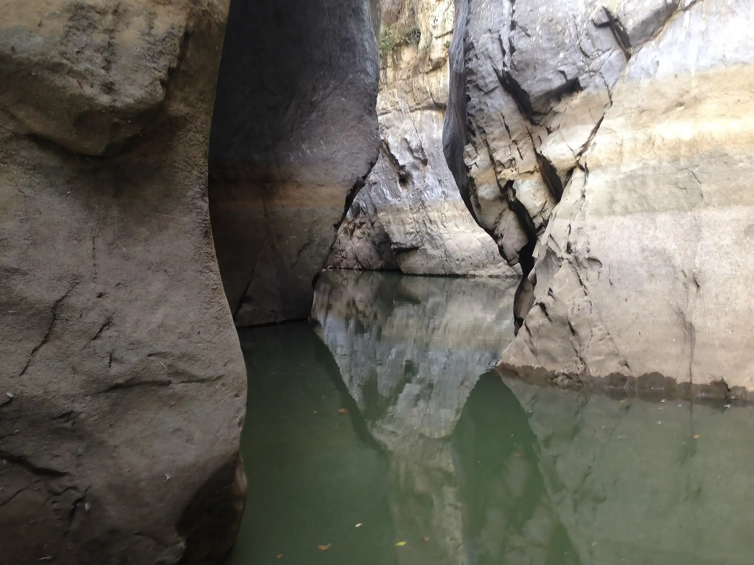
| Gole di Tiberio | San Mauro Castelverde | Canyon of the Pollina river in limestone |
| Rocca di Sciara | Caltavuturo | Rock sequence of an ancient marine basin |
| Cozzo Sant’Otiero | Petralia Sottana | Fossil-bearing rocks of the Middle Triassic |
| Raffo mine | Petralia Soprana | Rock salt, still mined |
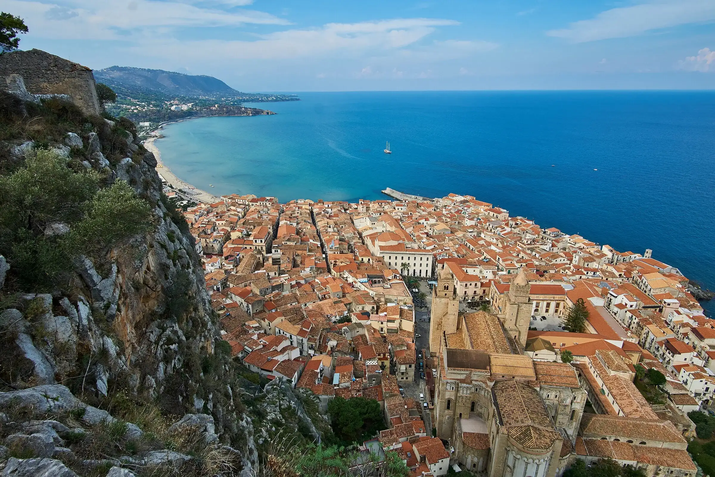
| Rocca di Cefalù | Cefalù | Limestone headland above the sea |
The Scopalacqua waterfall is the geosite the Park Authority has improved most recently. In 2024 the area on the SP54 was made safe, and on 23 May 2026 Geoparks Week opened there, with new information panels.
The Park Authority has marked out themed trails, in the mountains and inside the villages. They are the simplest way to understand what you are looking at.
Battaglietta swallow hole to Portella Colla. This is the first geological trail in Sicily, opened in October 2004. According to the Park Authority it is easy, with about 200 metres of ascent and about 2 hours 30 minutes there and back. It passes the swallow hole, an intact reef of Jurassic corals near the Rifugio Marini and Triassic sponges along the SP54, as far as the view over the Quacella amphitheatre at Portella Arena.
Petralia Sottana urban geological trail. The Park Authority presents it as the first urban geological route in Europe. Follow the brass studs and you will find Miocene fossils in the paving stones of corso Paolo Agliata, fossil corals in the doorway of the church of San Pietro and the shell-limestone columns of the Chiesa Madre.
Stones and water (Le pietre e l’acqua). From Petralia Sottana it follows the old drovers’ road towards Castelbuono, crosses the medieval San Brancato bridge and reaches Pizzo Sant’Otiero, the quarry that supplied the twelve columns of the Chiesa Madre. It ends at the Catarratti spring and hydroelectric power station, built in 1908. The Park Authority gives about 10.9 km, which can be split into sections.
Rocca di Sciara. It climbs from via Terravecchia in Caltavuturo, among holm oaks and cork oaks, to the ruins of the hermitage of San Nicola on top of the rock. Along the way you see a sequence of rocks from an ancient marine basin.
There is also an urban geological trail at Sclafani Bagni. To reach the summit of Carbonara, see the Pizzo Carbonara trail page, which crosses the Battaglietta and the karst plateau.
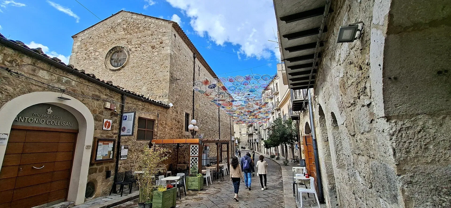
Before walking, it helps to see the samples. According to ISPRA the Madonie geological museum was created with the town of Petralia Sottana, linked to the Antonio Collisani civic museum.
On 1 September 2025 the new Giuseppe Torre geological section of the Collisani museum, named after the geologist Giuseppe Torre, opened in Palazzo Pucci Martinez, the Park Authority’s headquarters. The Park Authority writes that the whole geological history of the geopark can be seen there.
Other centres mentioned by ISPRA are the geological section of the Caltavuturo civic museum, with a model of the rock, and the Water Museum in Scillato, created with the Department of Geology of the University of Palermo.
Every year, between the last ten days of May and the first ten days of June, European geoparks open their geosites with hikes and workshops. In the Madonie European Geoparks Week lasts about two weeks.
In 2026 it ran from 23 May to 7 June, from the Scopalacqua waterfall to Piano Battaglia. The programme appears on the Park Authority website a few weeks earlier, and outings with limited places fill up quickly.
Inside a geopark you may not remove rocks from outcrops or trade minerals and fossils, the Park Authority reminds visitors. The Madonie Park rules also forbid entering caves and cavities not marked as open to visitors.
Many geosites are at altitude. Check the weather at Piano Battaglia before setting off and, in winter, the snow section. For the general park rules there is the guide to the Madonie Park, and for the summits the guide to the Madonie peaks.
Updated on 19 October 2026
 Hiking trail
Piano Battaglia · Loop
 Hiking trail
Case Marcatagliastro · Out and back
 Easy walk
Cefalù · Out and back
 Hiking trail
Contrada Quacella, SP119 · Loop
1,039 m a.s.l.
Home of the Madonie Park, at the foot of Piano Battaglia
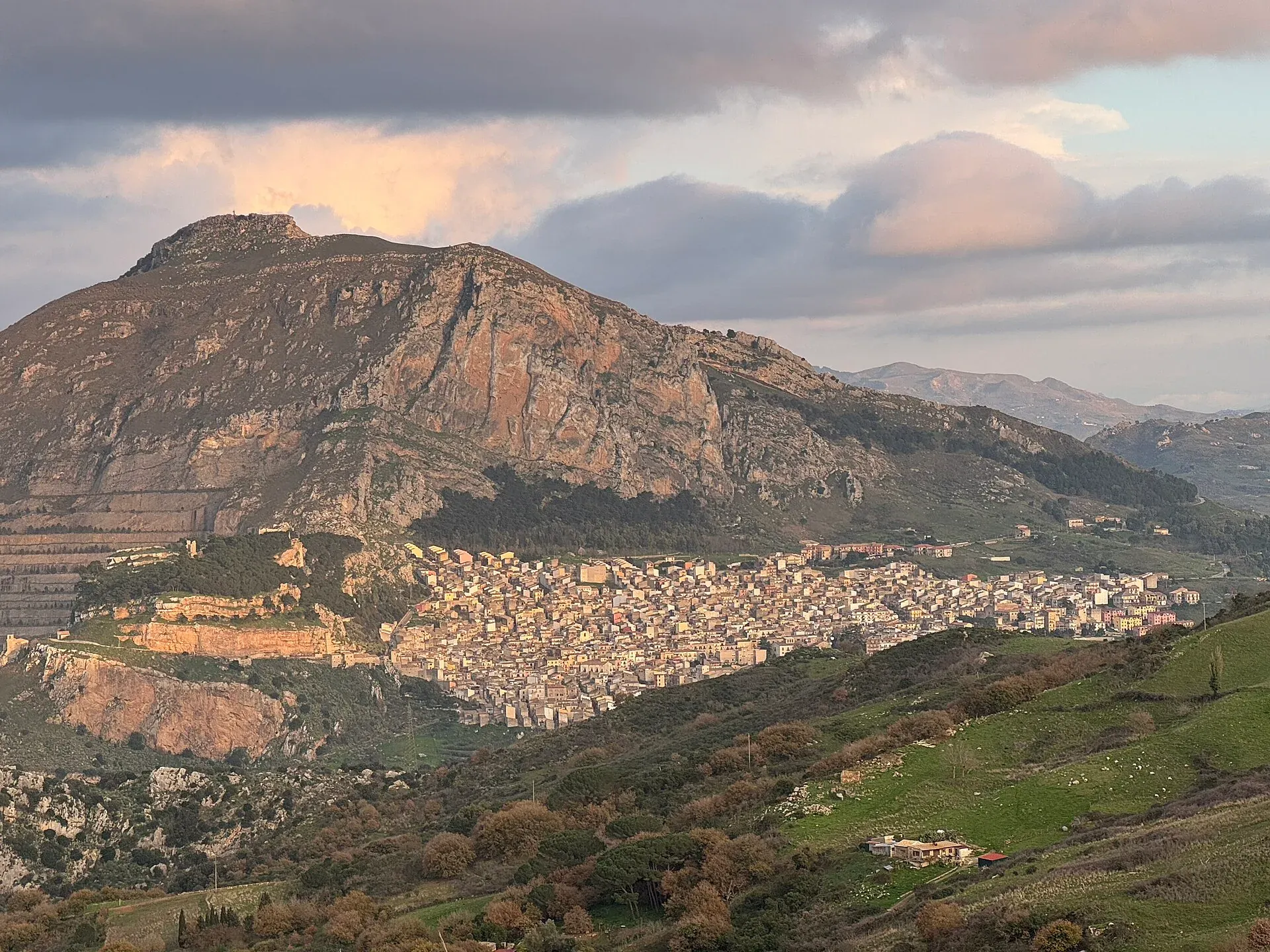
631 m a.s.l.
The village below the Rocca di Sciara
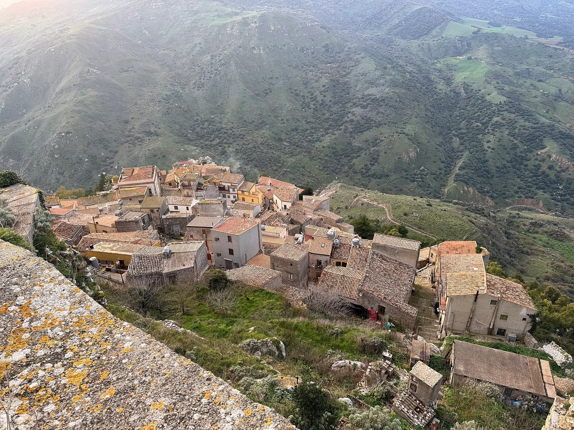
755 m a.s.l.
The walled village on the rock and its hot spring
239 m a.s.l.
Springs, water mills and oranges
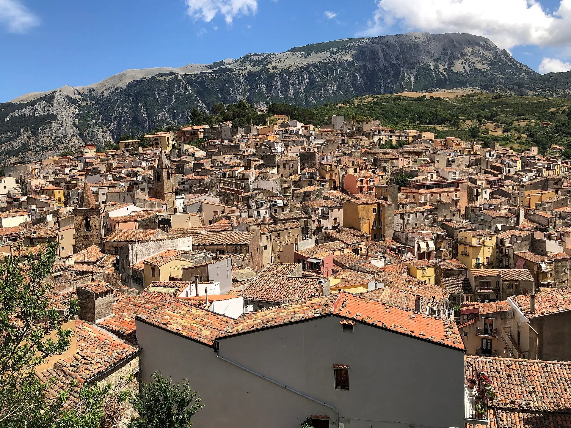
583 m a.s.l.
The town of the stars, beneath the Madonie cliffs
680 m a.s.l.
The terrace over the Tyrrhenian Sea above Cefalù
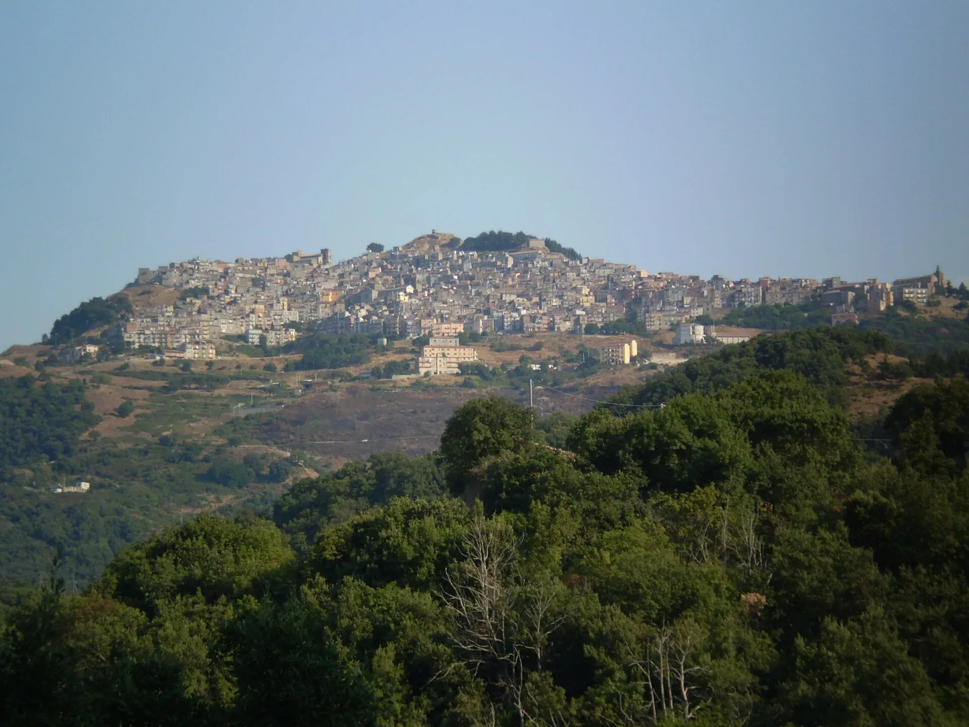
1,025 m a.s.l.
The village at a thousand metres above the Gole di Tiberio
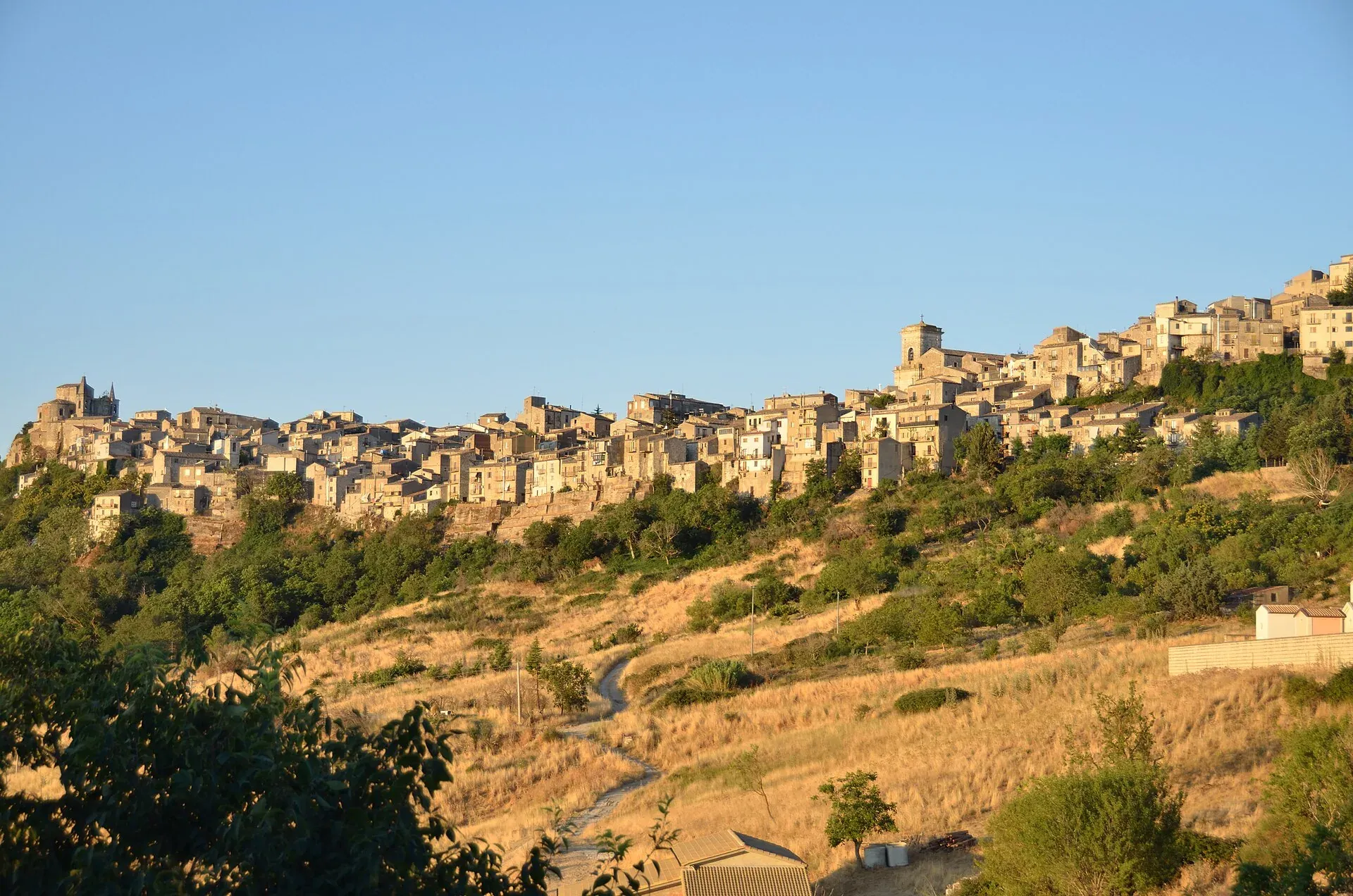
1,147 m a.s.l.
The highest town in the Madonie, Borgo dei Borghi 2018
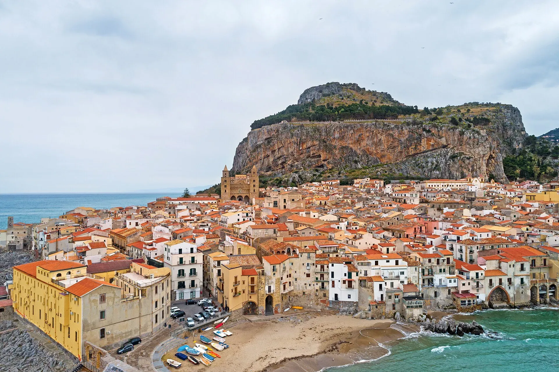
16 m a.s.l.
The Norman cathedral, the Rocca and the sea at the foot of the Madonie
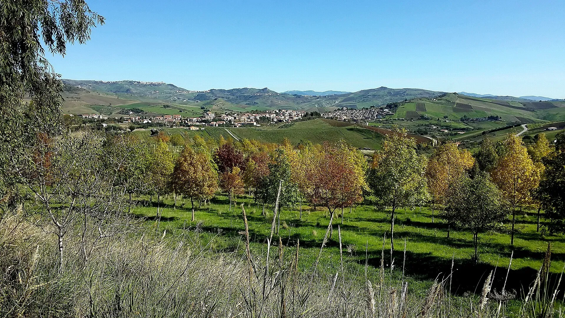
774 m a.s.l.
The village of hamlets and murals
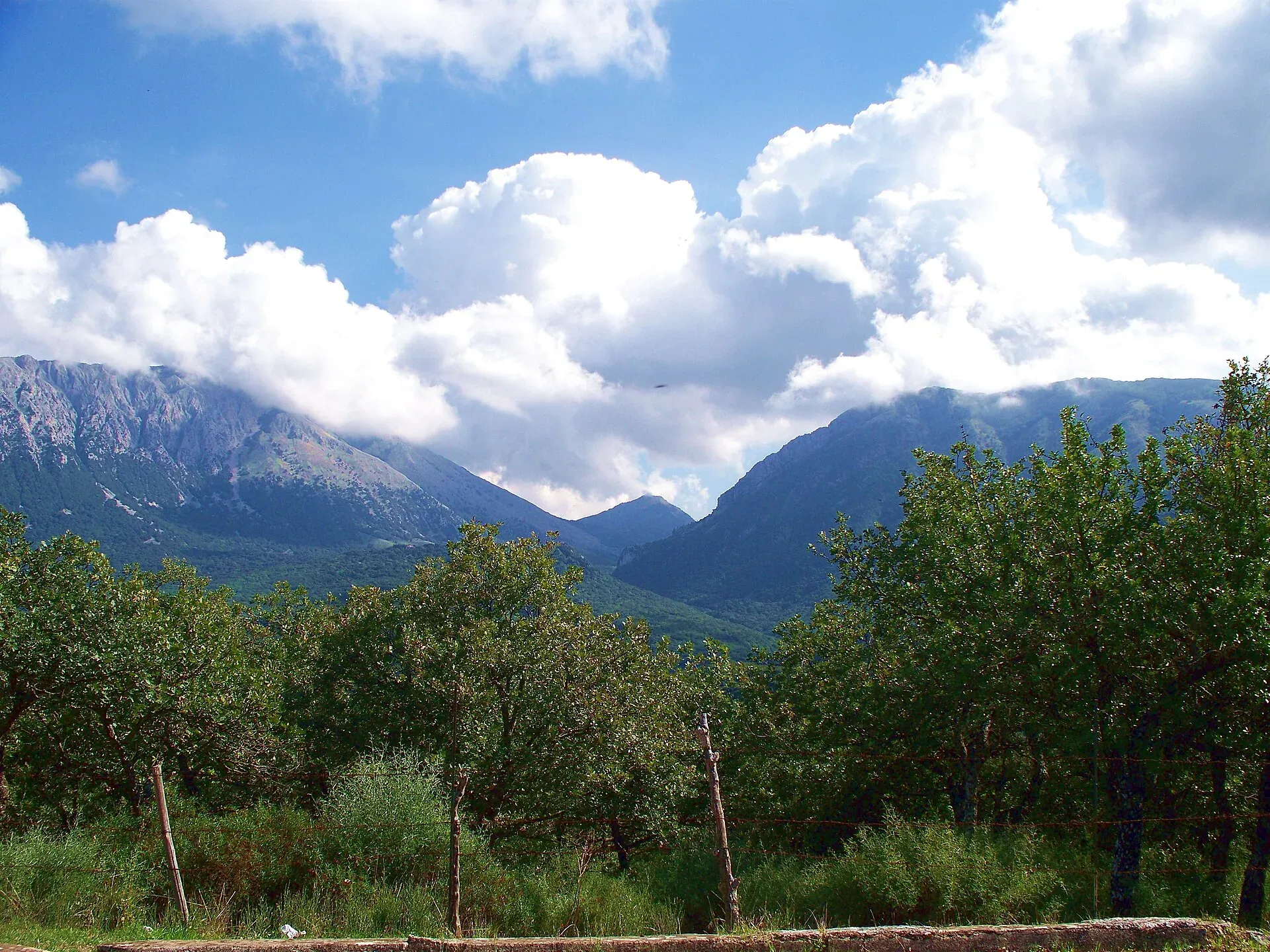
Nature
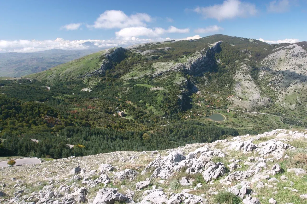
Madonie Park (Parco delle Madonie): 39,679 hectares and 15 towns between Cefalù and the Petralias, founded in 1989. Zones, rules, sights and how to get there.
Nature
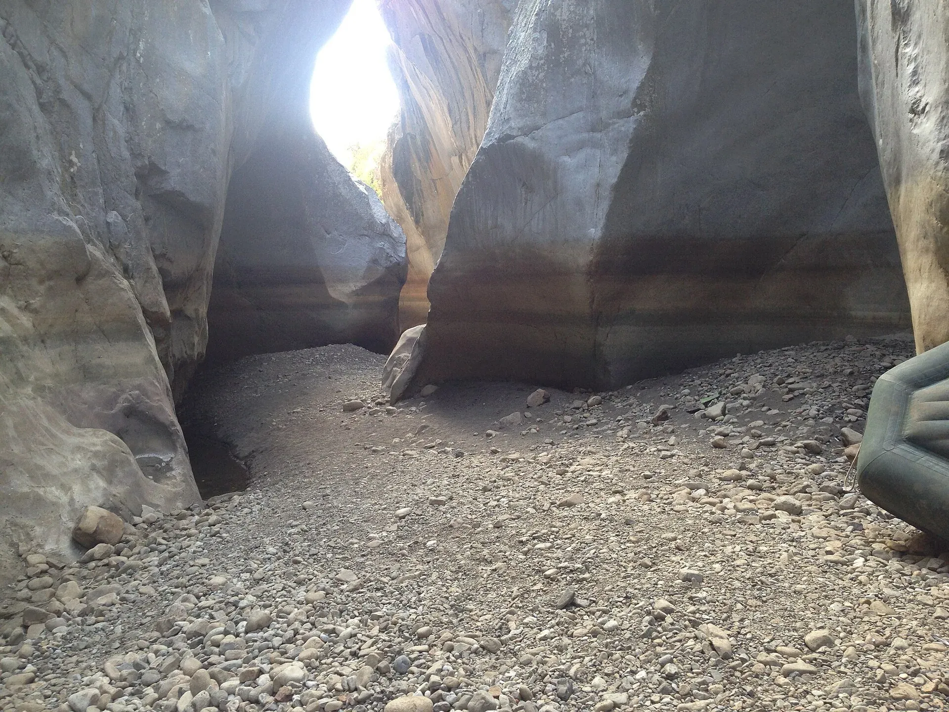
Gole di Tiberio, Grotta Grattara, Abisso del Vento, Abisso del Gatto and Scopalacqua falls: where they are, how to visit and what is banned in the Madonie.
Nature
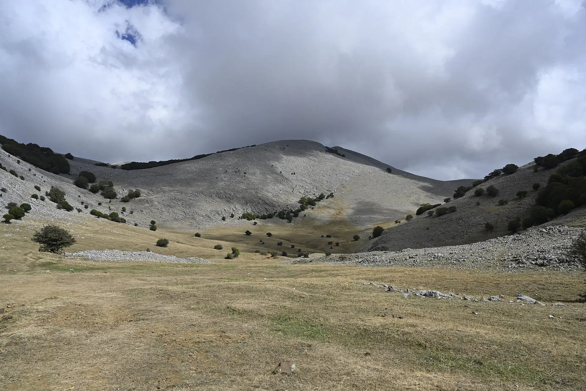
The peaks of the Madonie: Pizzo Carbonara 1,979 m, Pizzo Antenna Grande, Monte San Salvatore, Quacella and Mufara. Table of heights, trails and practical tips.
Nature
The plateaus of the Madonie: Piano Battaglia at 1,572 m, Piano Zucchi, Piano Sempria, Piano Cervi, Piano Pomo and Piano Catarineci. Heights, access, what to do.
Nature
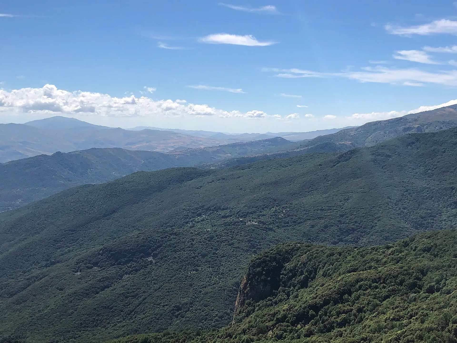
The best viewpoints in the Madonie: Pizzo Carbonara, Madonna dell'Alto, Monte San Salvatore, Pollina and the SP54 lookouts. Where to see Etna and the Aeolians.
Nature
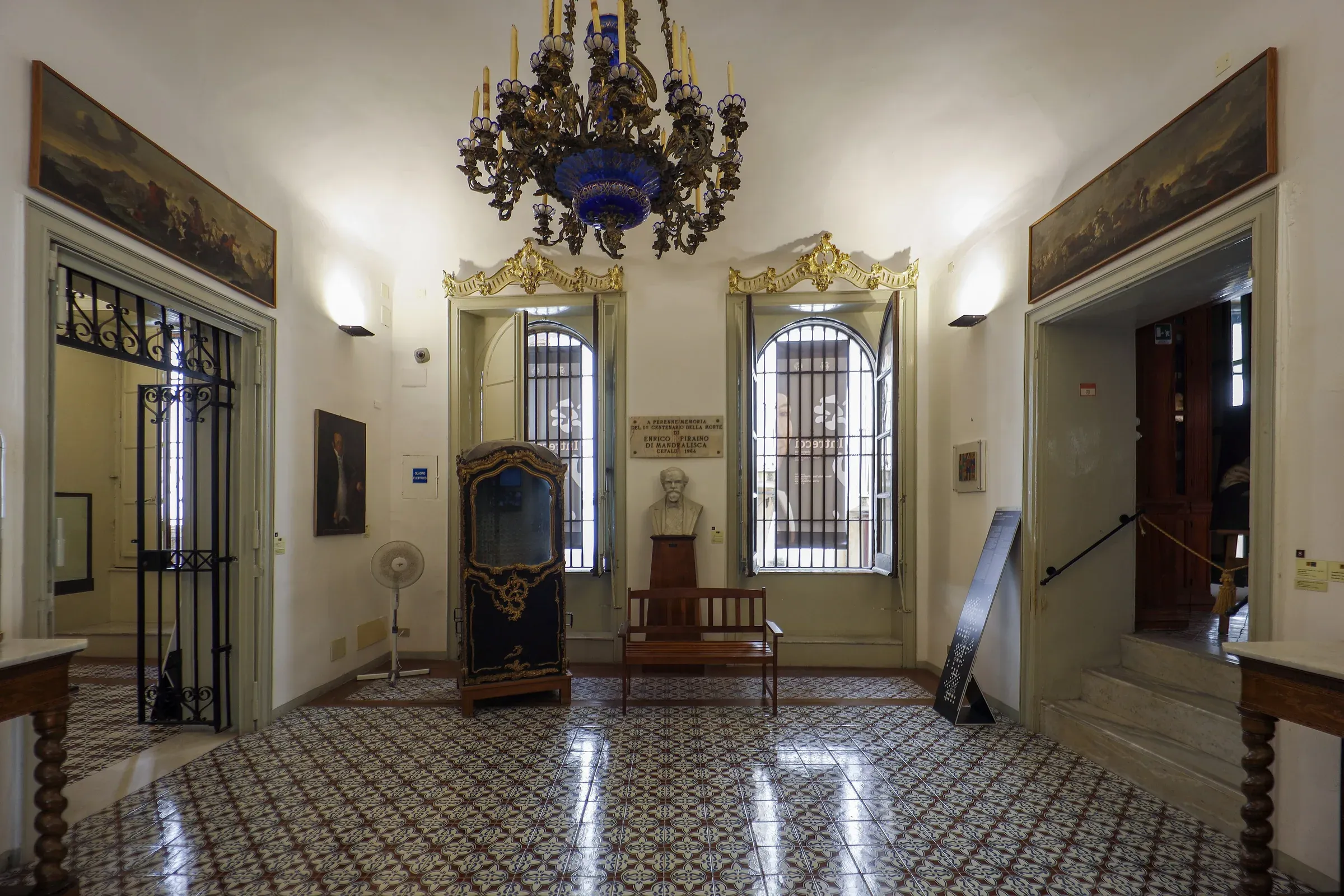
Museums of the Madonie: the Mandralisca in Cefalù, the Museo Civico in Castelbuono castle, Minà Palumbo, the Targa Florio, salt sculptures and rural life.
Things to do
Nature