Piano Battaglia · Loop
Pizzo Carbonara from Piano Battaglia
Pizzo Carbonara from Piano Battaglia: the CAI 551 loop to the highest peak in the Madonie, 1,979 m, through beech woods and sinkholes. Season, difficulty, tips.
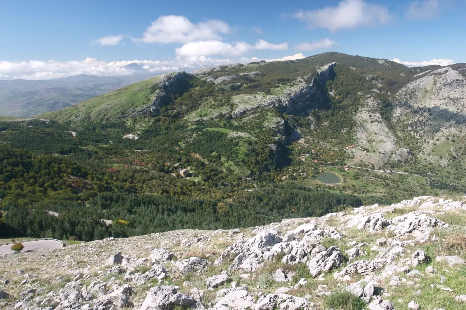
Along the way
- Summit at 1,979 metres, the second highest in Sicily after Etna
- Karst plateau of sinkholes and the Piano della Principessa
- Beech woods of the former Faggeta Madonie reserve
- Peonies in bloom and endemic plants such as the Nebrodi violet
- Views of Etna and the Tyrrhenian Sea on clear days
Pizzo Carbonara, 1,979 metres, is the highest peak in the Madonie and the second highest in Sicily after Etna. The classic way up is the CAI 551 loop from Piano Battaglia: about 7 km, 2 hours 30 minutes of walking without stops, just under 400 metres of ascent. Go between May and October, in good visibility.
On paper it is an easy half day. In practice the weather decides: the summit sits on a karst plateau where, in fog, every sinkhole looks like the last one.
Why climb Pizzo Carbonara
For a landscape you will not find anywhere else in Sicily. The massif is shaped like a huge limestone dome: steep walls on the sides and, on top, high plateaus pitted with sinkholes, mountain pastures and clumps of beech.
The Park compares this plateau to the Karst. Once you walk on it you see why: pale rock breaking through in slabs, grassy hollows, no tall tree to steer by.
And for the view. On clear days you look at Etna to the east and the Tyrrhenian Sea to the north.
What you see on the loop
From Piano Battaglia you climb a stony slope to Pizzo Scalonazzo. Here there is a curiosity the Park mentions in its description: a small grave with a headstone for Argo, a dog.
Then the plateau, the summit and the descent towards the Piano della Principessa, full of sinkholes and green terraces. The last stretch goes back to Piano Battaglia through the beeches of the former Faggeta Madonie nature reserve.
In spring, look down. The Park lists peony, Bivona’s clover and basilisco, a yellow umbellifer that smells of aniseed. Rarer are Gussone’s star and the Nebrodi thrift. Endemic plants of the area include the Nebrodi violet, the Nebrodi alyssum and Gasparrini’s spurge.
How hard is it, and who is it for
CAI grades the 551 as E, a standard hiking trail. The Park calls it very demanding and lists it as EE, because fog can make reaching the summit unsafe.
Both are true. You need little stamina and a lot of route finding. It suits people who have done some mountain hikes and can follow a track on their phone. If it is your first outing, pick a clear day and a companion who knows the area.
When to go
May to October for the normal ascent. Late spring brings the flowers, October and November the colours of the beech woods (we cover them in our article on beech woods in autumn).
In winter snow covers the plateau and the climb becomes a real winter outing. Before you go, check the weather on Pizzo Carbonara and at Piano Battaglia, and read the guide to snowshoeing in the Madonie.
How to get to Piano Battaglia
You need a car: there is no reliable public transport. From Petralia Sottana take the SP54, about 18 km. From Isnello you go through Piano Zucchi on the SP9 and SP54, about 24 km.
The third road, the SP119 from Polizzi Generosa, has been closed since February 2026 after a landslide near the Portella Colla junction. From Polizzi you therefore go via Petralia Sottana, on the SS643, SS120 and SP54. Check the page on Madonie roads before you set off.
Where to sleep and eat
At Piano Battaglia there is the Rifugio Giuliano Marini, owned by CAI Palermo and run privately: staying there lets you start in the best morning light. You will find more places in where to stay in Petralia Sottana, the nearest village and home of the Park authority.
For dinner, drive down to the village: the list is in where to eat in Petralia Sottana.
Safety tips
- With fog or low cloud on the plateau, turn back. People really do get lost here.
- Download the track before you leave and keep your phone charged.
- Carry water for the whole loop, a warm layer and a windproof jacket: at almost 2,000 metres it is cool even in August.
- Do not leave the path among the sinkholes: the ground is sharp rock and an ankle twists in a second.
For the GPX track, profile and waymarks of the 551 there is the technical page on sentierisiciliani.it, in the box alongside. If you want a longer climb from the Castelbuono side, see the Battaglietta - Piano Sempria trail.
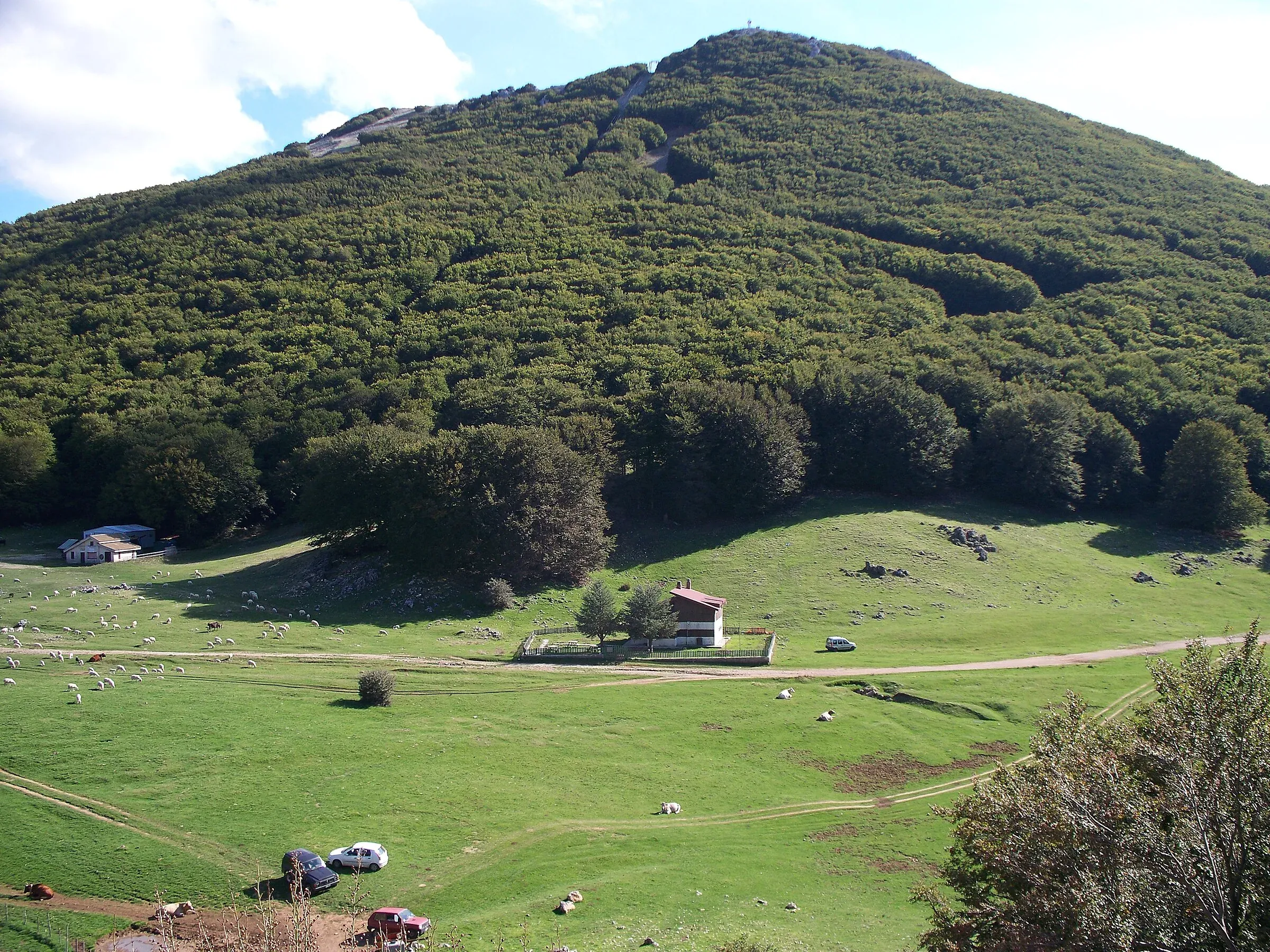
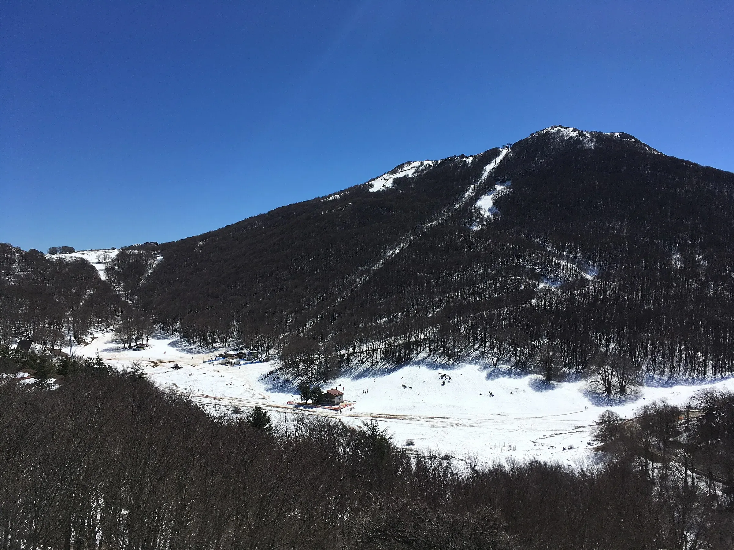
Weather at the start
Weather in Piano Battaglia →12°
Mostly clear
- Today
- 11° / 17°
- Wind
- 8 km/h SE
- Snow on ground
- no
- Freezing level
- 3,800 m
- Tue 2011° 17°
- Wed 2111° 16°
- Thu 229° 13°
- Fri 238° 13°
- Sat 248° 13°
Updated on 20 October at 08:48 · Forecasts Open-Meteo.com (CC BY 4.0)
Frequently asked questions
- How long does the Pizzo Carbonara hike from Piano Battaglia take?
- The CAI 551 loop is about 7 km and takes about 2 hours 30 minutes of walking, not counting stops. Plan on half a day: you will stop at the top, and a little fog on the plateau slows you down a lot. The Madonie Park advises setting off only in very good visibility.
- Is Pizzo Carbonara difficult?
- The climb is modest, just under 400 metres, and CAI grades the trail E, a standard hiking path. The real difficulty is route finding: the karst plateau looks the same in every direction and the path fades in places. That is why the Madonie Park describes it as demanding, at EE level, to be done in good weather.
- Can you climb Pizzo Carbonara with children?
- With older children used to walking on stones and rock, on a clear day, it works well. For small children the rough ground of the plateau and the sinkholes are a problem. Piano Battaglia has shorter, wider walks in the beech woods, and the summit can wait a few years.
- When is the best time to climb Pizzo Carbonara?
- From May to October for the normal ascent. In late spring you find peonies and endemic flowers in bloom; in October and November the beech woods change colour. In winter, with snow, the plateau becomes winter mountaineering terrain: you need crampons or snowshoes and experience.
- Where do you park for Pizzo Carbonara?
- The trail starts at Piano Battaglia, at about 1,570 metres. Park in the lay-bys along the provincial road and near the mountain huts, never outside the permitted spaces: the Park rules forbid leaving cars where parking is not allowed. On snowy weekends the spaces fill up early.
- Is there water on the Pizzo Carbonara trail?
- There are no fountains along the route. The limestone plateau swallows the water and there are no springs up high. Fill your bottles at Piano Battaglia before you start: the Park suggests at least one litre each, and in summer you should carry more.
- Can you see Etna from Pizzo Carbonara?
- On clear days Etna appears to the east, and the Tyrrhenian Sea opens up to the north. The view from the summit covers much of northern Sicily. Autumn and winter mornings after a front has passed have the cleanest air.
Sources
- Ente Parco delle Madonie, Sentiero di Pizzo Carbonara
- Distretto turistico Cefalù Madonie Himera, sentiero 551 Pizzo Carbonara
- OpenStreetMap, relazione 12927072 (sentiero CAI 551)
- Sentieri Siciliani, Pizzo Carbonara: accessi e informazioni pratiche
- Ente Parco delle Madonie, elenco dei divieti di fruizione
- La Sicilia, frana sulla SP119 e chiusura della strada (6 febbraio 2026)
Page updated on 19 October 2026
More trails
You may also like
 Hiking trail
Piano Noce, SP119 · Out and back
Monte San Salvatore, the second peak of the Madonie
 Hiking trail
Piano Sempria · Point to point
Trail 552 from Piano Sempria to Piano Battaglia
- Distance
- about 8 km
- Time
- about 3 h 30
 Hiking trail
Case la Pazza · Point to point
Trail 565 from Case la Pazza to Piano Sempria
- Distance
- about 7 km
- Time
- about 2 h 30